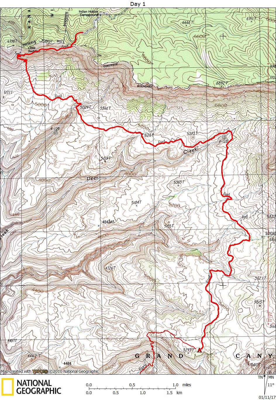
Day 1

October 24, 2016

Thunder River Trail


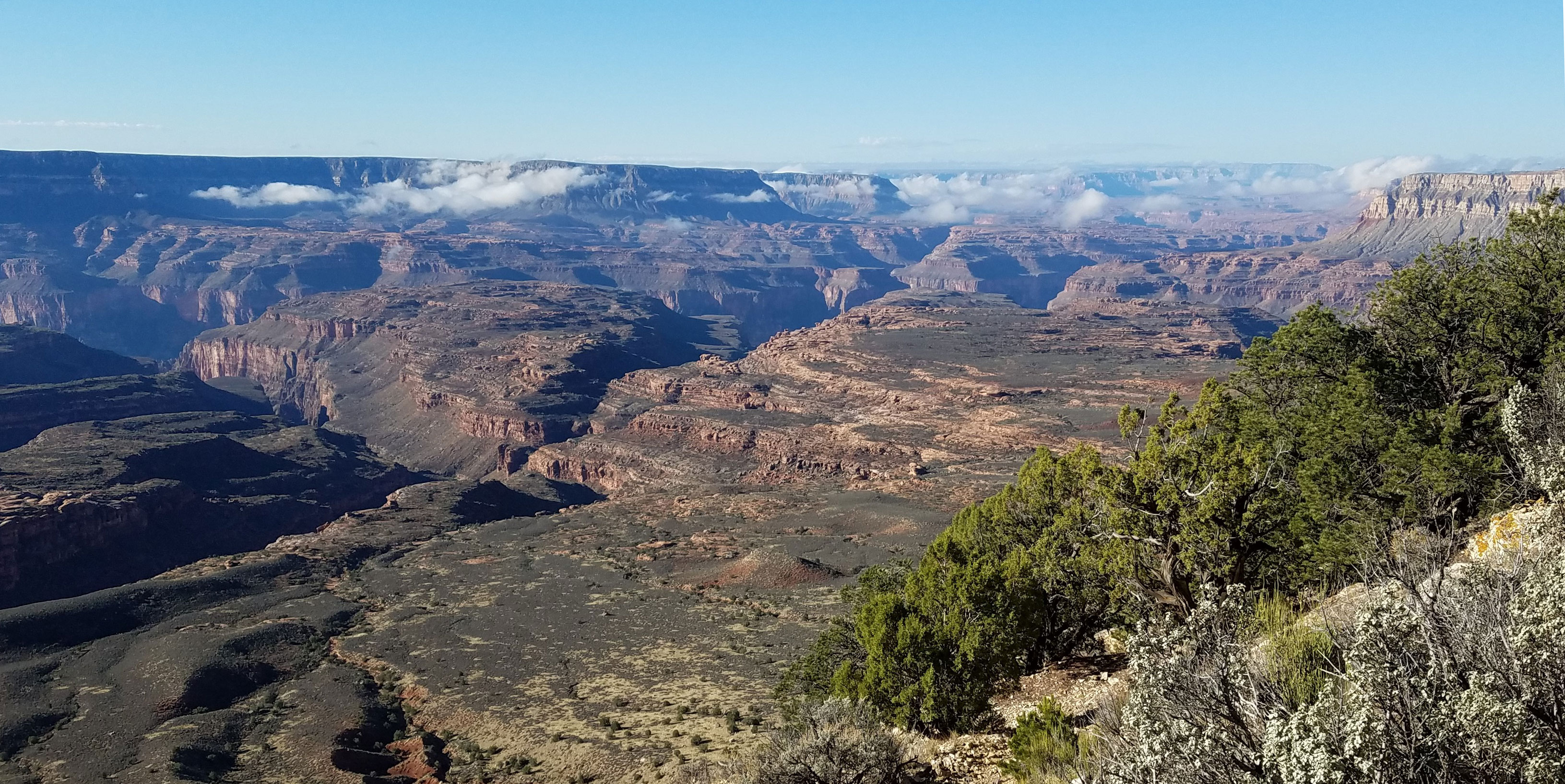
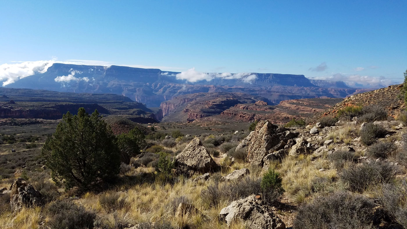
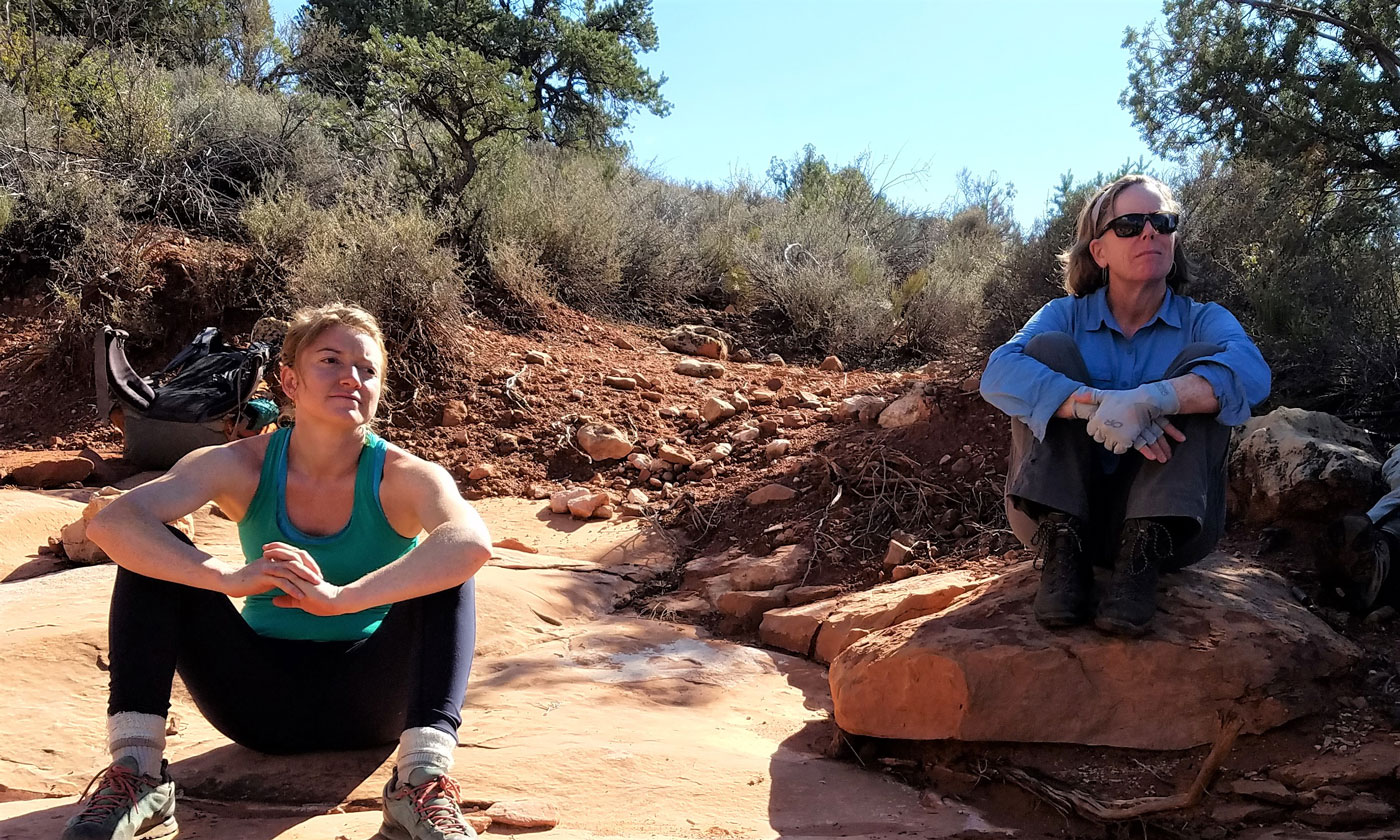
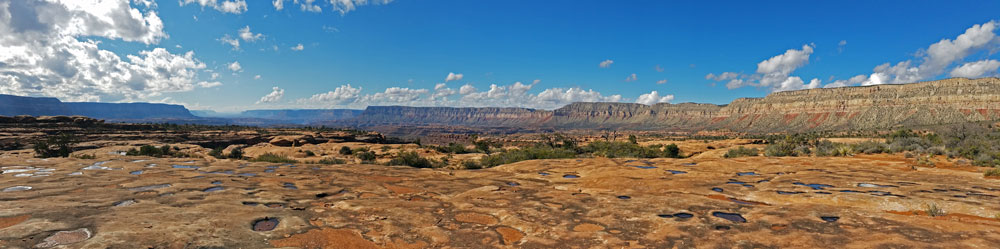
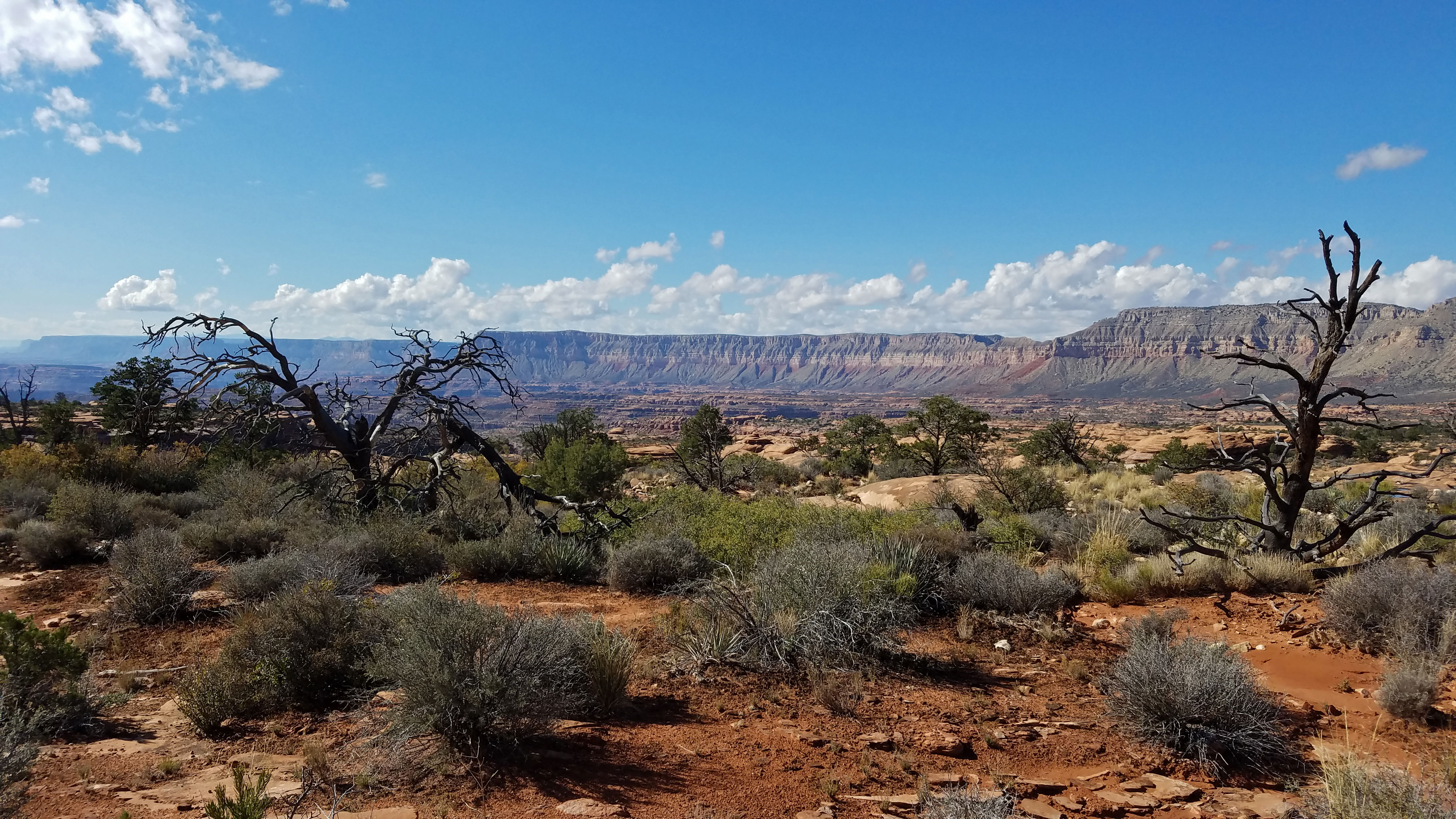
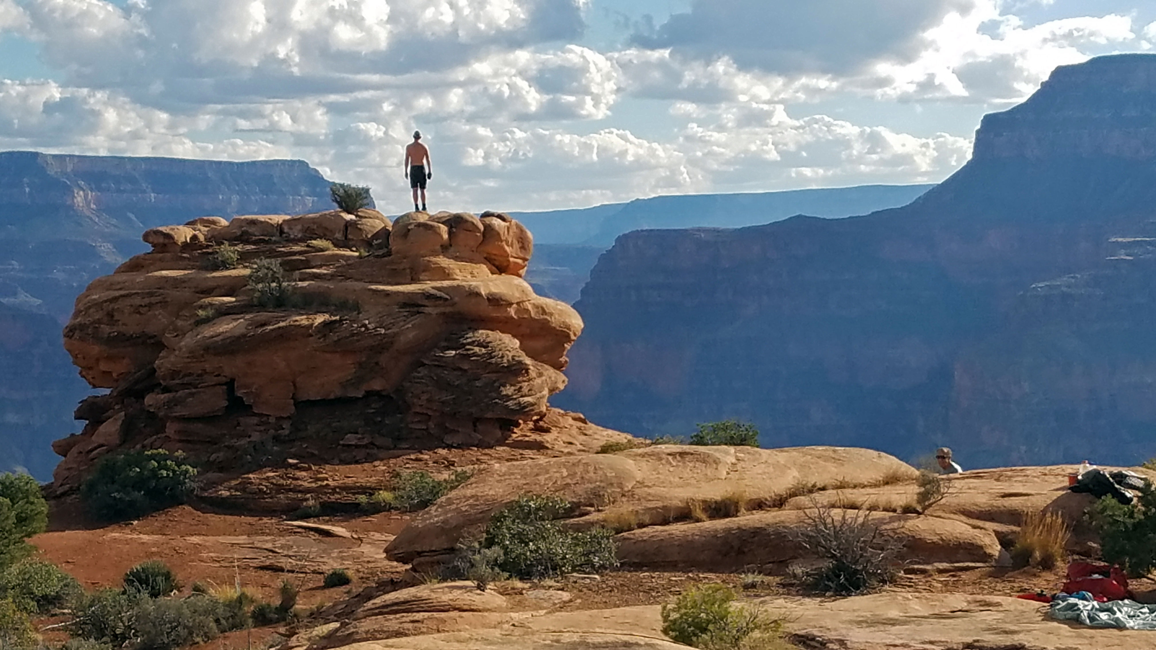
Click on photos to see larger image.

Today's route stats: 

    Distance:  8.0 miles

    Elevation Gain:  400 feet

    Elevation Loss:  1400 feet

We awoke to a very wet and cold campsite.  Although it was mostly clear, it had rained and sleeted most of the night.  So it took us a while to get our gear packed up.  We drove the 5 miles to the Indian Hollow Campground and began following the trail to the rim. 

I've hiked this section of the trail numerous times, and I'm always blown away when I get to the rim and look over the vast expanse of the Canyon, especially Esplanade.

 
Start of Thunder River Trail Thunder River Trail.  Great Thumb Mesa. Ann-Mariah and Leslie.


Esplanade   Looking West from the Bill Hall Trail. 


Once at the rim, the trail contours to the west until reaching a break, then drops quickly to the Esplanade, about 1200 feet below.  Then the trail turns east and mostly follows slickrock benches while contouring in and out of the upper braches of Deer Creek.  This is a fantastic landscape with lots of interesting rock formations, some of which have rock art.  After about 5 miles we came to the Bill Hall Trail coming down from Monument Point.  We continued another 3 miles until the trail was approaching the rim overlooking Surprise Valley.  We turned off the trail and found a nice campsite a couple hundred yards off the trail.  There were numerous potholes in the area, so water was not a problem.

I had two unfinished audio books to listen to at night.  One was Life's Ratchet: How Molecular Machines Extract Order From Chaos, by Peter Hoffman, and the second was Foundations of Western Civilization II: A History of the Modern World, by Robert Bucholz.

 
Looking West Toward Fishtail Mesa. Condors. Rock Formations Near Our Camp.


Back to Main Trip Index Back to Trip Index Back to Preface Forward to Day 2