|
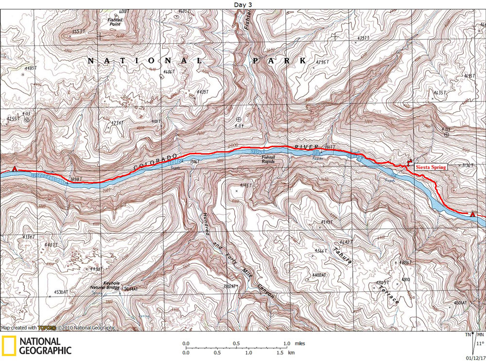
Day 3 October 27, 2016 Along the Colorado River |
 |
|
Click on photos to see larger image. Today's route stats: Distance: 5.0 miles Elevation Gain: 200 feet Elevation Loss: 250 feet I really do not like hiking along the Colorado River. It is almost always difficult and slow. Today was no exception. Although we only covered about 5 miles, it took most of the day. After about 1/4 mile, the route (occasionally there is a faint trail) heads up to higher ground to avoid impassible cliffs. And shortly after gaining a hundred feet or so, the "trail" enters a small, shallow canyon where a spring is located. Steck calls it Siesta Spring. I picked up a couple of quarts of water before continuing on. After several more hours where we made very slow progress, we were ready to look for a beach to camp. We kept going and going, finding nothing big enough for all 7 of us. Eventually we settled on a small beach. Not great, but adequate. Because I destroyed my camera later on this hike, I am using Chuck's photos. Apparently he didn't take any pics along this section. Not surprising since the hiking was difficult and monotonous. |