|
Preface Esplanade Meander in Kanab Creek Wilderness |
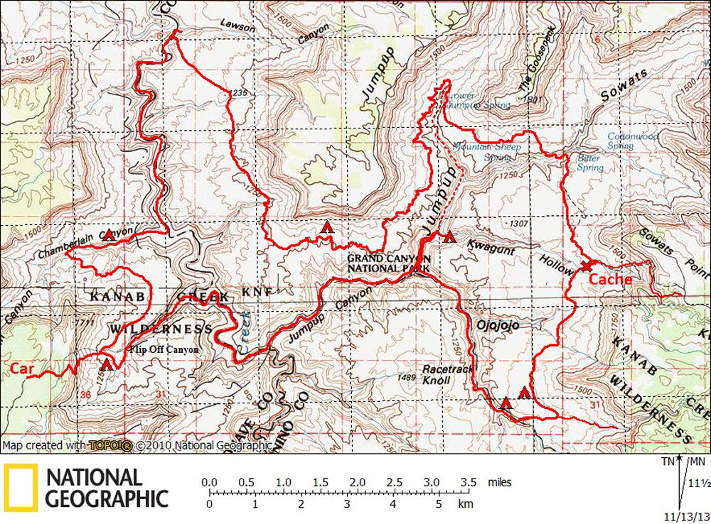 |
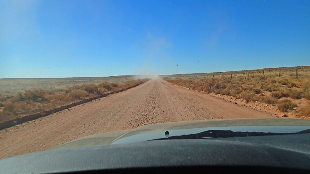
This map (above) shows our overall route. Click on photos to see larger image. Bert and I spent a lot of time hashing out a route for this trip. We knew we wanted to do something in upper Kanab Creek, but what? There are 3 quick ways into the area: via Flipoff, Jumpup, or Sowats. Bert wanted to enter via Flipoff, and I figured Jim might prefer this route since he was not along a few years ago when we entered via Flipoff. So that was what we decided to do. There were less than two weeks between this trip and a 4-day Grand Canyon backpack that I had done with my daughter. When I exited the Canyon via the New Hance Trail, my knee was killing me. And it was the knee that I had replaced about 7 years ago. I was worried that I had either damaged it or worn it out. So I wasn't sure I could make the trip. I had planned to hike in via Sowats before our hike to put in a cache, and Marcey had already sent me the food. So I figured I would wait and see how well I did hiking down to the Esplanade to put in the cache before making the final decision on whether or not I would go. I left Truchas, NM on Thursday morning (October 24) and drove to Jacobs Lake where I checked into the lodge. The next morning (Oct 25) I drove out to Sowats Point and the start of the Jumpup-Nail Trail. I had packed the cache food into one 5-gal bucket and one 3-gal bucket -- food for two dinners, some scotch, and a couple of my breakfasts and lunches. I also carried two liters of stove fuel. We were expecting to reach the cache in the middle of our third day, and we were expecting between 8 and 10 people on this trip. The roads to the trailhead were in very good condition except near the end where recent rains and hoards of hunters had created some serious ruts. I packed the two buckets, fuel, a quart of water and a snack and headed down the trail. The trail drops about 1700 feet in a little less than two miles. I reached the Esplanade in about an hour. I crossed Kwagunt Hollow, which had a small flow, and continued up into some large Supai boulders where I placed the cache. The hike back out took about 1.5 hours. My knee was doing remarkably well. I then drove to Kanab where I had a motel reservation and would meet some of the trip members for dinner. The next day we all met up in Fredonia at noon, and began the caravan to the "trailhead". The graded dirt road turns off the highway about 8 miles west of Fredonia. It is about 44 miles to the trailhead, but only the last 10 miles or so are on rough roads. High clearance vehicles are highly recommended, and 4WD might be required if the roads are muddy. We camped at a non-descript opening in the Pinyon-Juniper. Most of us slept out in the open, even though it would be a cold night. Some of us brought a warmer sleeping bag just for this night. We hung around a nice campfire until it got too cold. |
 |
 |
 |
|
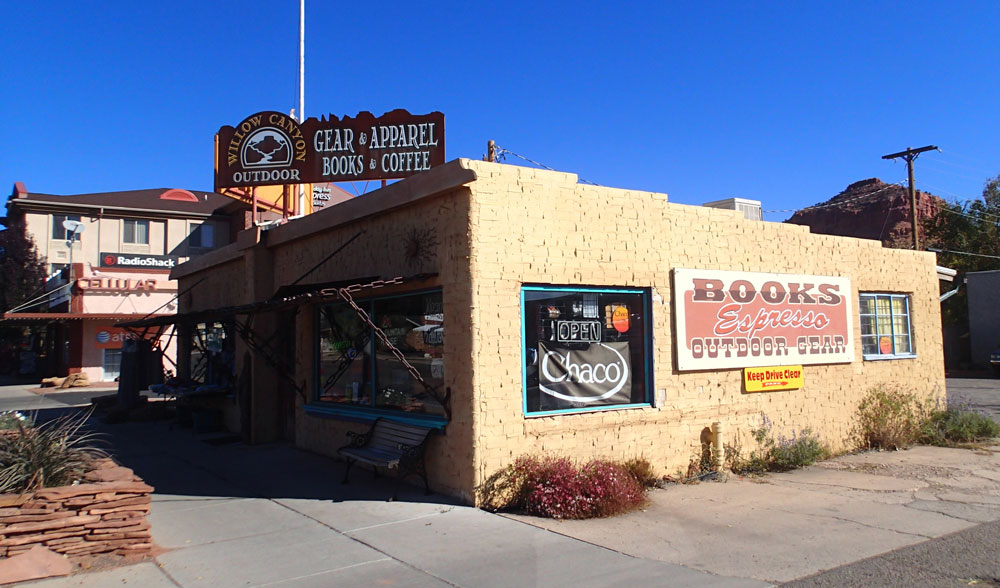
Last Minute Shopping in Kanab |
Long Lonesome Road to Trailhead |
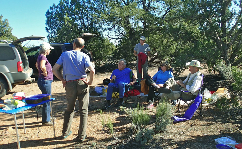
Car Camp Near Flippoff "Trailhead" |
|
Trip members included Ben, Fred, Bert, Jim, Leslie, Marcey, Chuck, Thomas, and me. Our entire group met at noon on Saturday, October 26, in Fredonia. There would be nine of us all together. From there we caravanned to the Flipoff "trailhead" where we set up camp for the night. For those not familiar with Grand Canyon rock layers, the Esplanade is a bench that often forms at the top of the Supai Formation. The top level of the Supai is reddish Esplanade sandstone. The Esplanade is especially prominent in this part of Grand Canyon. |
| Back to Main Trip Index | Back to Trip Index | Forward to Day 1 |