Day 2

February 28, 2014

Day-Hike Down Grapevine Creek


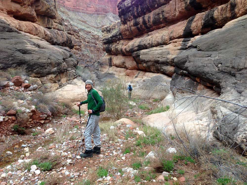
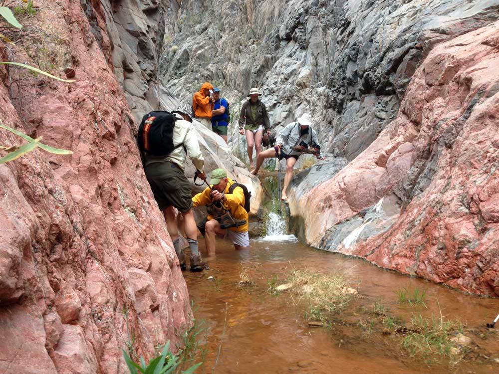
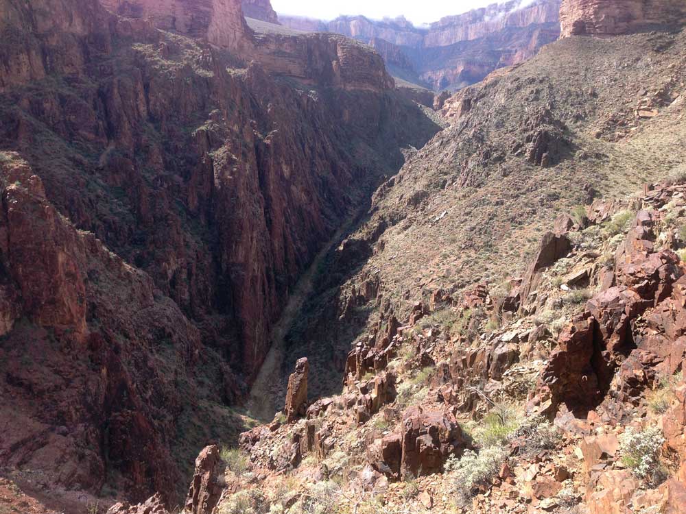
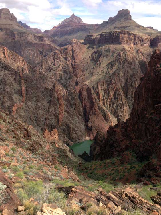
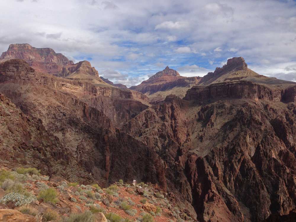
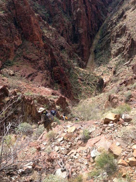
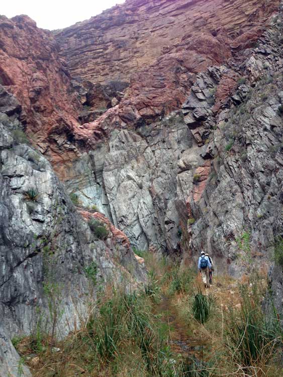
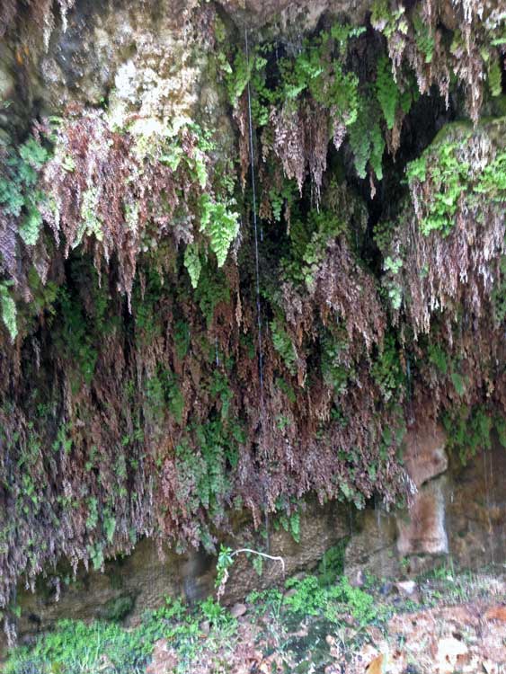
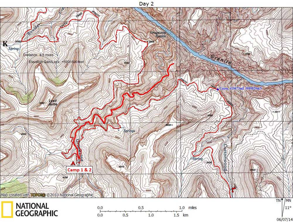
Click on photos to see larger image.

Today's route stats: 

    Distance:  5 miles Round Trip

    Elevation Gain:  1100 feet

    Elevation Loss:  1100 feet

Today was our layover day.  We planned to hike down Grapevine to the River.  I had received a note from Sally Underwood about the route.  She said that it was difficult to get all the way down Grapevine proper, but that a way was possible by bypassing the lower end of the canyon.  After a long straight section of creek bed, at around 2900 feet elevation, there is a steep slope that gets you to a high saddle, and from there you can drop down to the River.  We decided to go for it.

Grapevine Creek is very pretty, with plenty of water.  There were a few minor obstacles to deal with, but nothing difficult.  It only made the hike more interesting. 

Ben and Mark Looking for a Way Down. Ben Hiking Down Grapevine Creek. Trying to Keep our Boots Dry.

The bypass route up to the saddle was obvious, but it's a steep, 450 foot climb.  We had wonderful views from the saddle, and we could see a fairly easy way down to the river.  But it was 700 feet down to the river (and 700 feet back up), and it was getting late.  We probably could have done it if we had gotten a very early start, but it still would have been difficult given the short days.

Looking Up Grapevine. View of Colorado River From Saddle. Looking Across River at Wotans Throne, Vishnu Temple, & Newberry Butte.


It was a good thing we turned around because it was dinner time by the time we got back to camp.  Several of us had a bad experience once on a day hike where we did not make it back before dark.  We didn't want to make that mistake again.

Hiking Back Down From the Saddle

Heading Back to Camp.

Dripping Springs.


Back to Main Trip Index Back to Trip Index Back to Day 1 Forward to Day 3