Day 4 April 6, 2016 Cottonwood Spring to Lower Jumpup Spring |
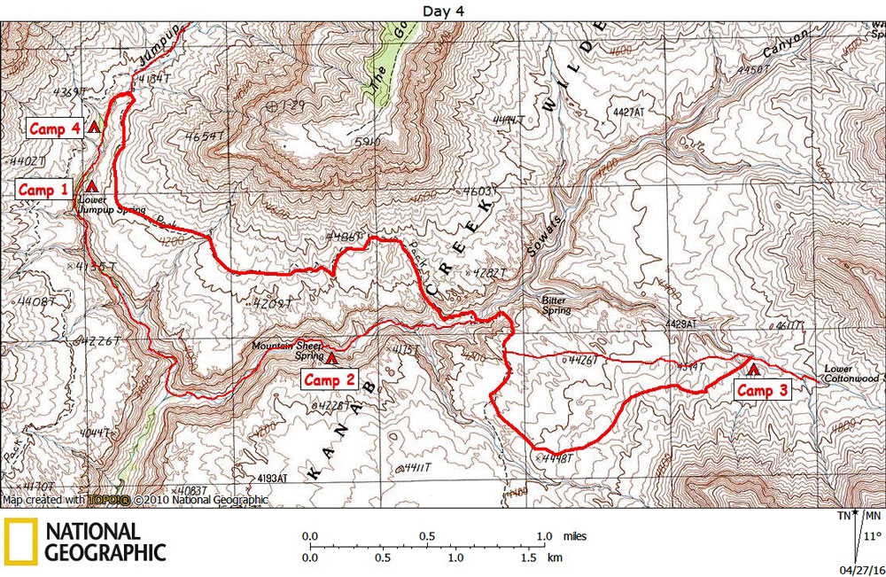
Click on photos to see larger image. Today's route stats: Distance: 4.6 miles Elevation Gain: 500 feet Elevation Loss: 950 feetI decided to take a slightly different route back to the Jumpup-Nail Trail -- a route that I thought would be a little easier by avoiding some of the deep gullies. It was a little easier, but I ended up traveling a little bit farther south than I wanted. Eventually I hit the Jumpup-Nail Trail and was soon at my water cache in the Sowats drainage. |
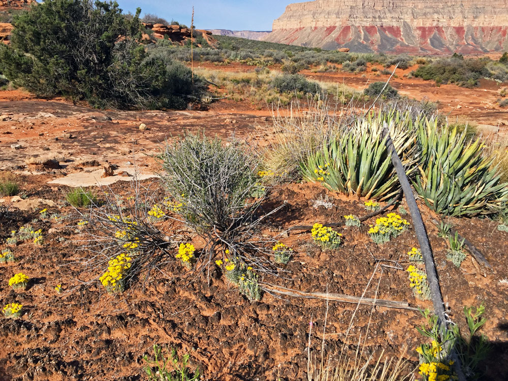
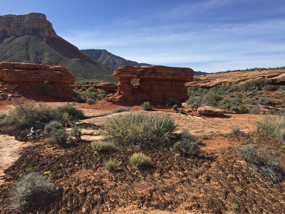
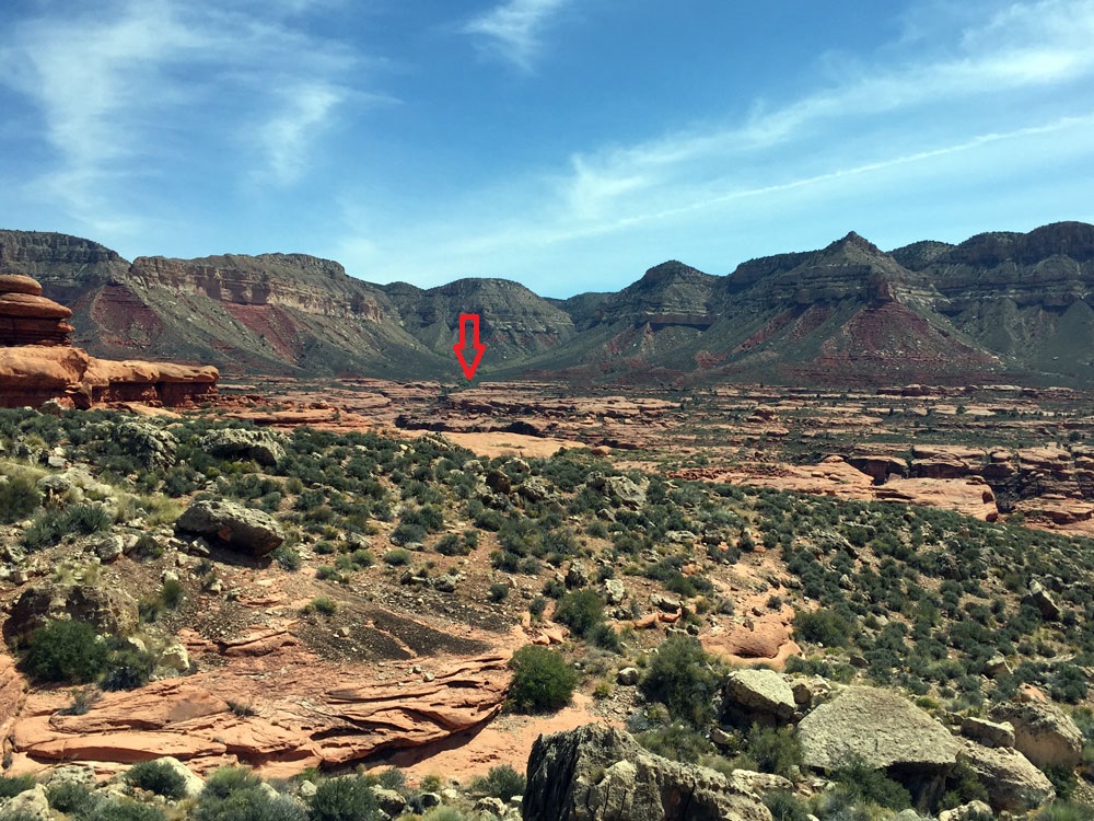
Crypto-biotic Soil and Flowers. | Rock Formations on Esplanade. | Distant View of Cottonwood Spring (Arrow). |
The climb out of the canyon on the north side is about 500 feet of elevation gain. Then it is level to slightly downhill all the way to Jumpup Canyon. Once up on the Esplanade, I could look back across Sowats and see where Cottonwood Spring is located (see red arrow in photo). |
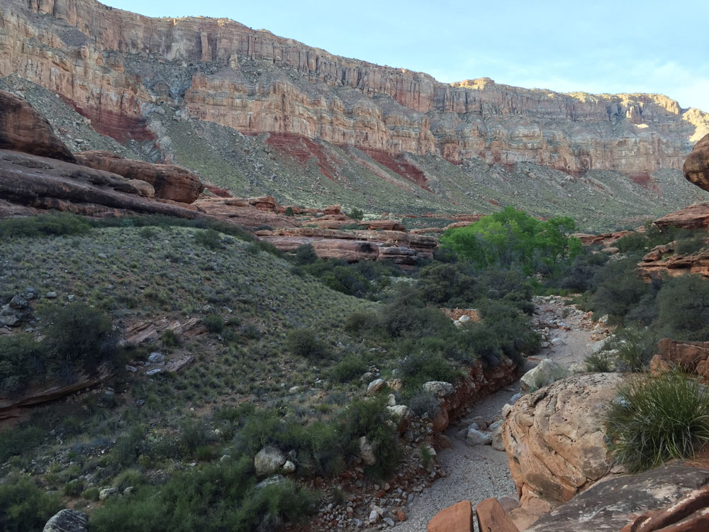
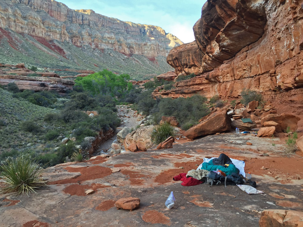
I always like hiking along the Esplanade. So instead of hiking back to Jumpup the way I came, I opted to take the Jumpup-Nail Trail. The hiking is easy and the views are awesome. I set up camp on a slickrock bench almost half a mile above the Jump. Then I hiked down-canyon to retrieve my food cache and collect enough water for tonight and tomorrow's hike out. |
Back to Main Trip Index | Back to Trip Index | Back to Day 3 | Forward to Day 5 |