|
Click on photos
to see larger image.
We got a pretty
early start today, not being sure where we would end up. We
doubted we would make it all the way down to Kanab Creek, but we
thought we would be able to get to the top of the Redwall. Our
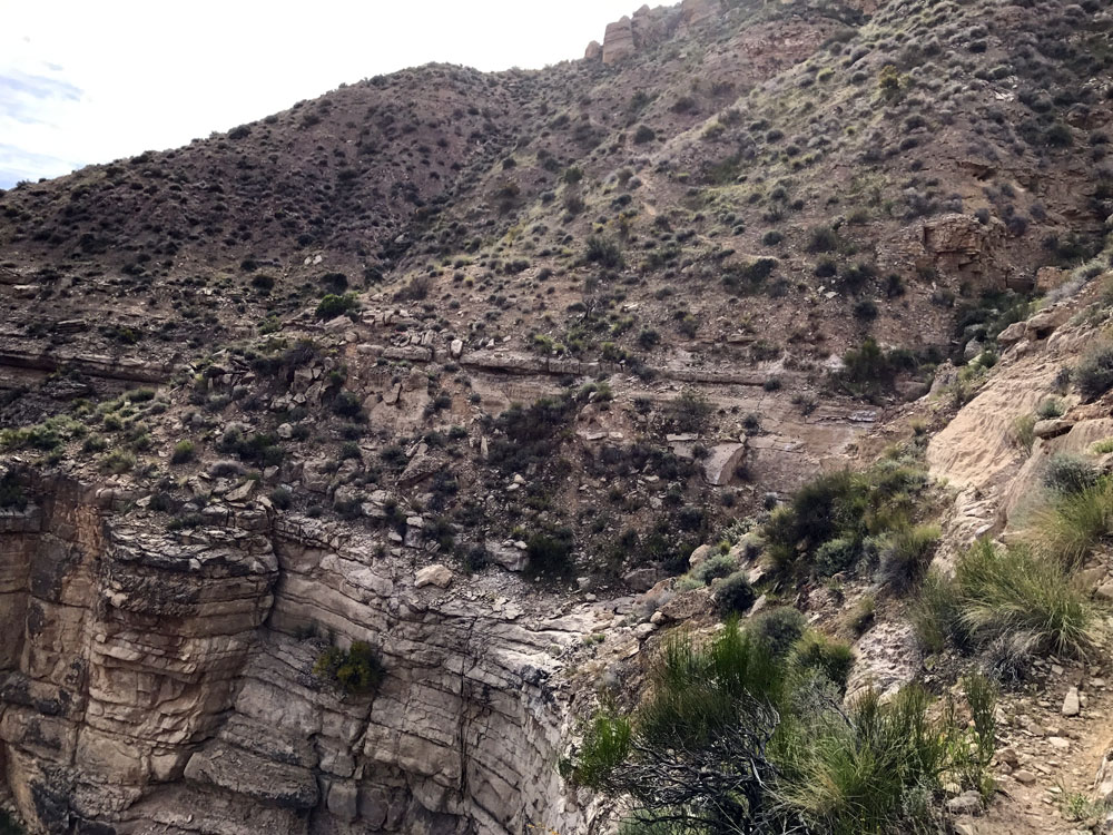
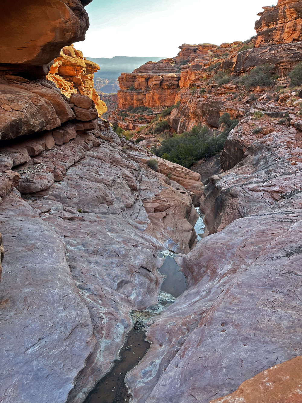
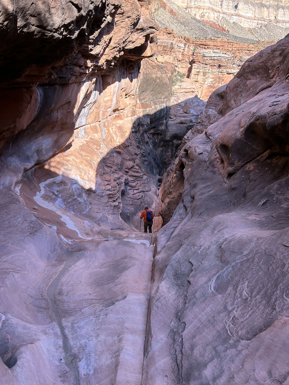
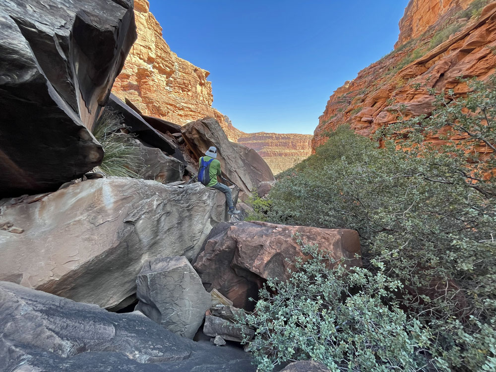
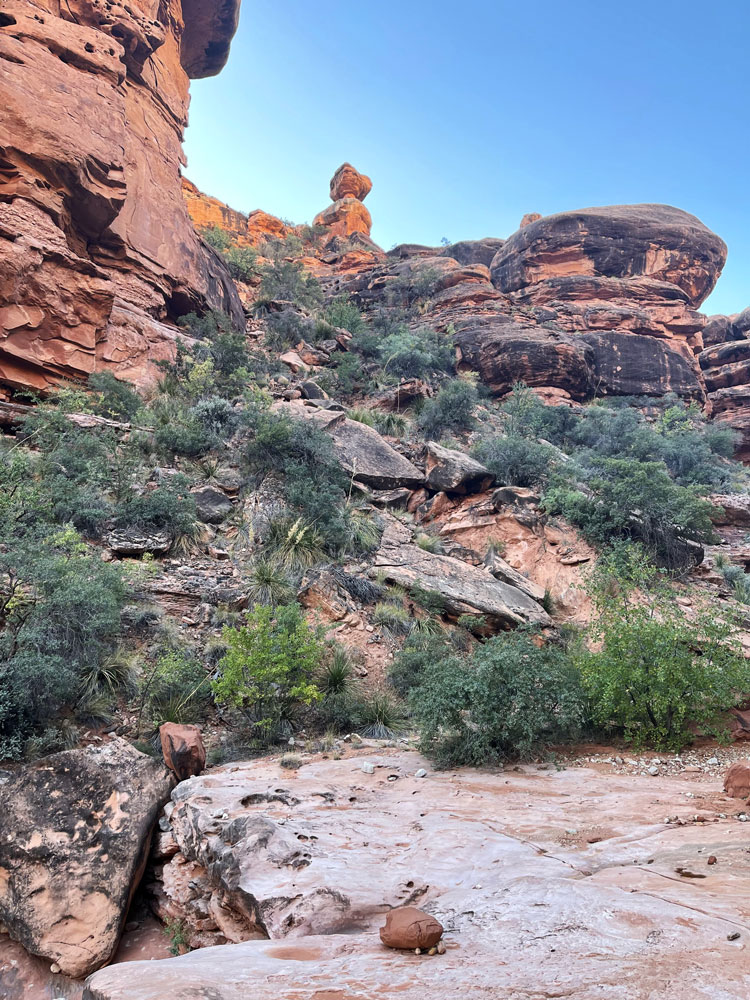
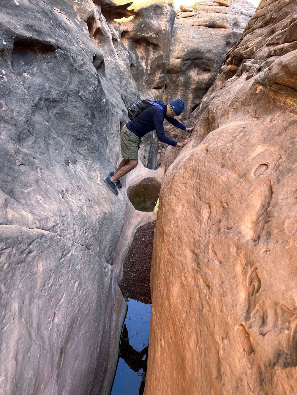
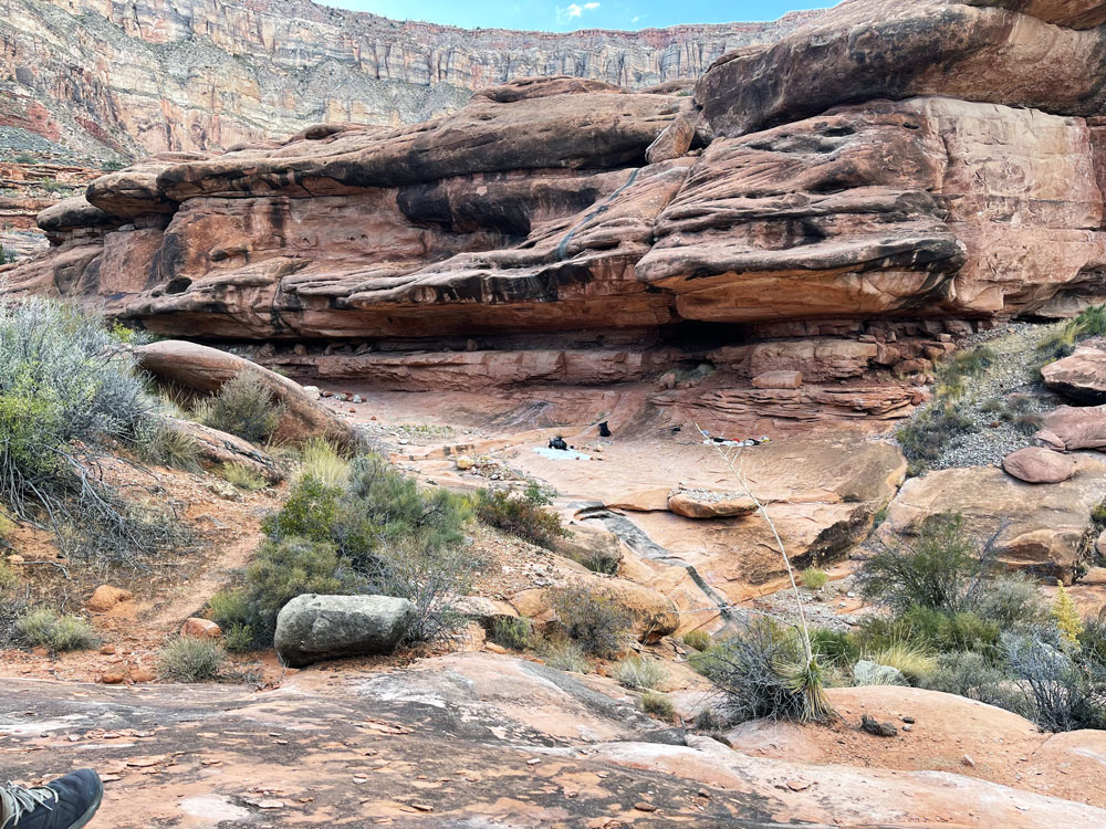
first objective was to find a way down into Scotty's. We
climbed up to higher ground and began contouring towards the head of
Scotty's. We passed a side canyon that looked much too
difficult to descend. But the next one looked good. Part
way down we encountered the mushroom rock that Steck mentions as the
exit route, so we knew our side canyon would go.
 |
 |
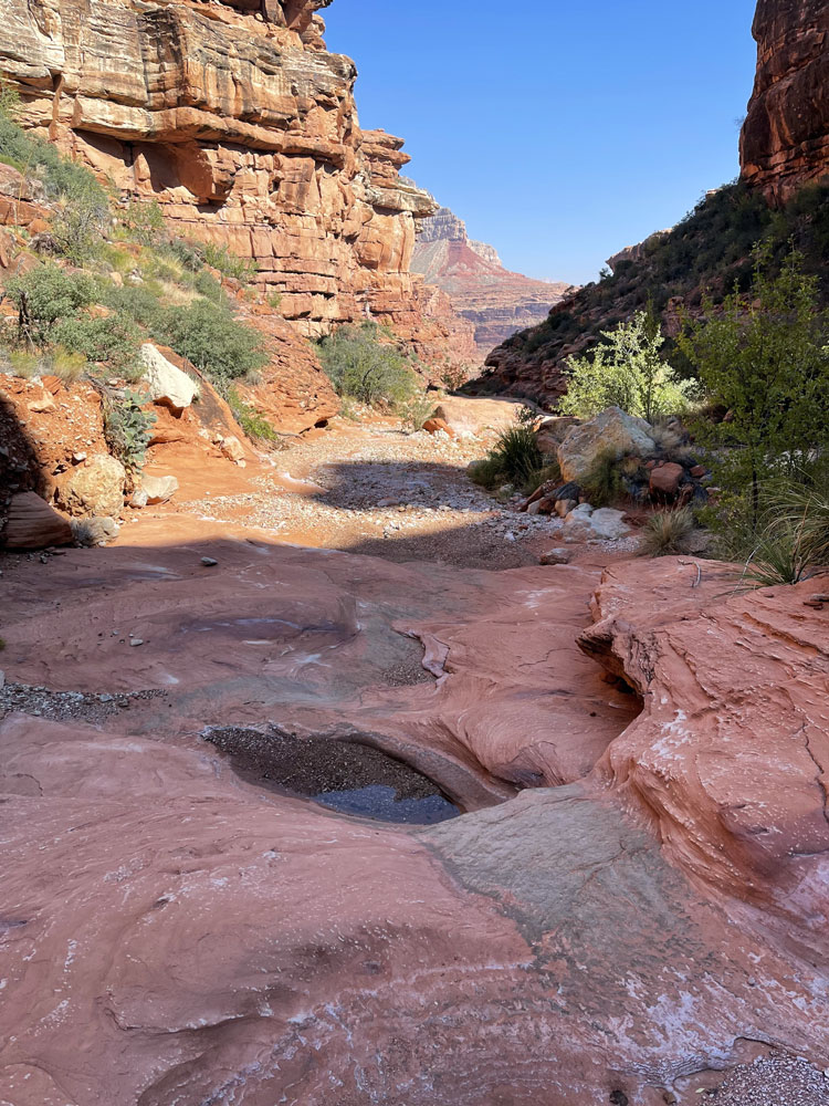 |
| Steck's Mushroom Rock. |
Finding Our Way Down
Scotty's. |
First Water We
Encountered in Scotty's. |
|
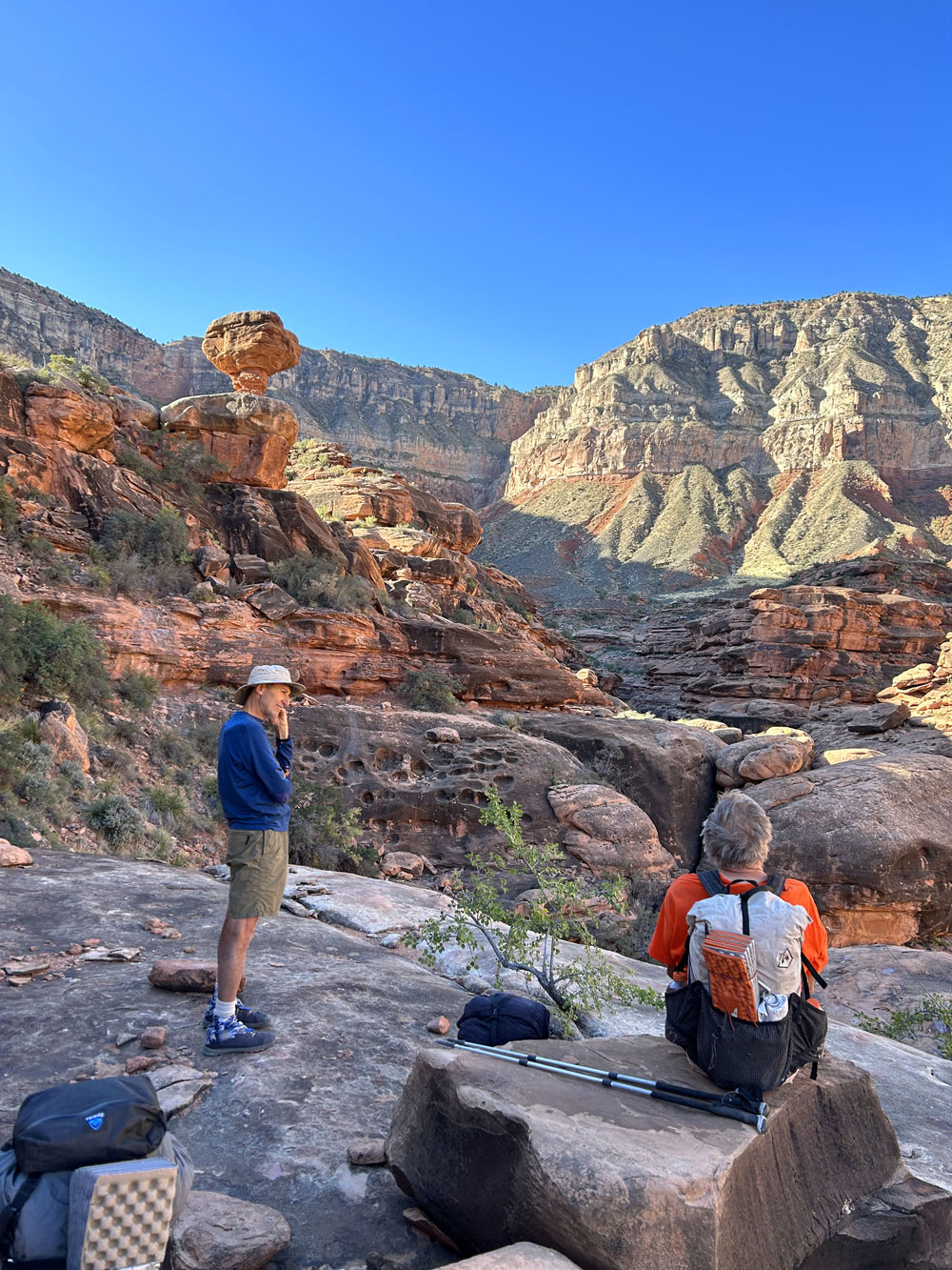
We passed some
nice potholes and a good camping area, but we continued on, hoping
to get to the Redwall. But the canyon bottom began to get
congested with brush and huge boulders. And it was very hot.
We decided to quit for the day and head back to the nice campsite we
had passed.
|
 |
 |
 |
| Difficult Hiking
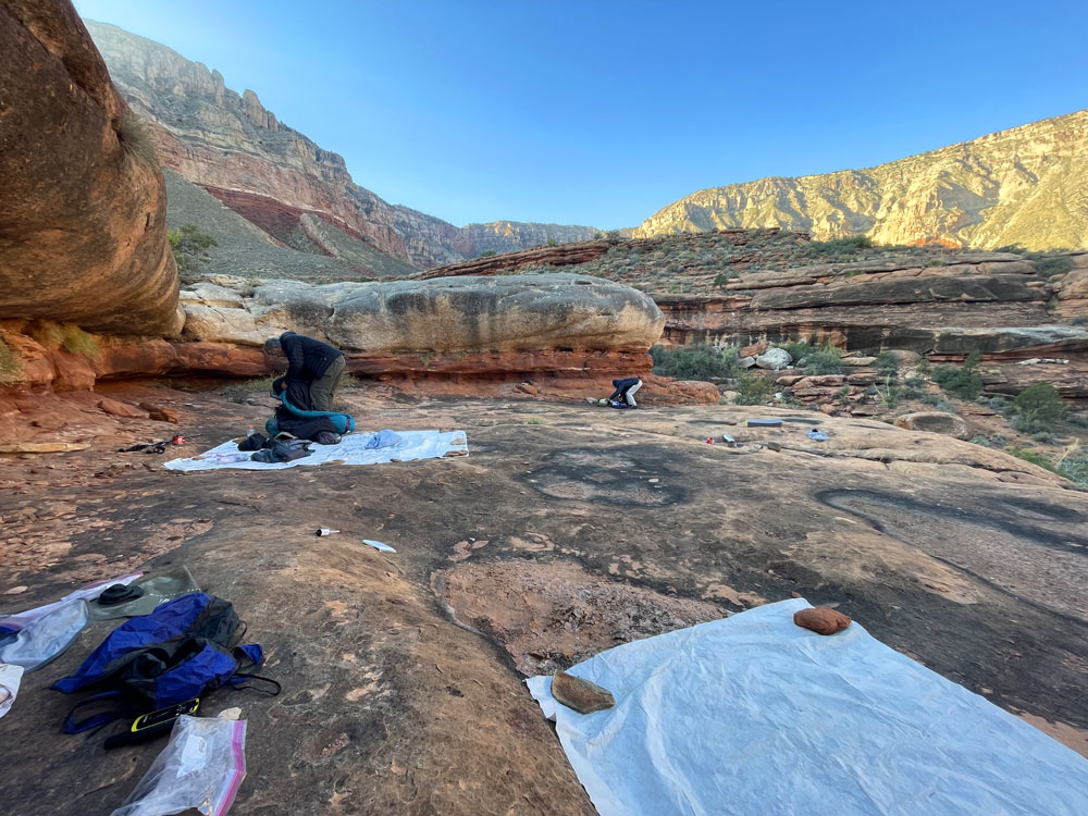
Down-Canyon. |
Our Camp (for 3
nights). |
Potholes Near Camp. |
|
Days 4 & 5.
October 21 & 22. Upper Scotty's Hollow |
|
Click on photos
to see larger image.
The next day
(Day 4) we pretty much hung out in camp all day. It was still
really hot, and we were tired.
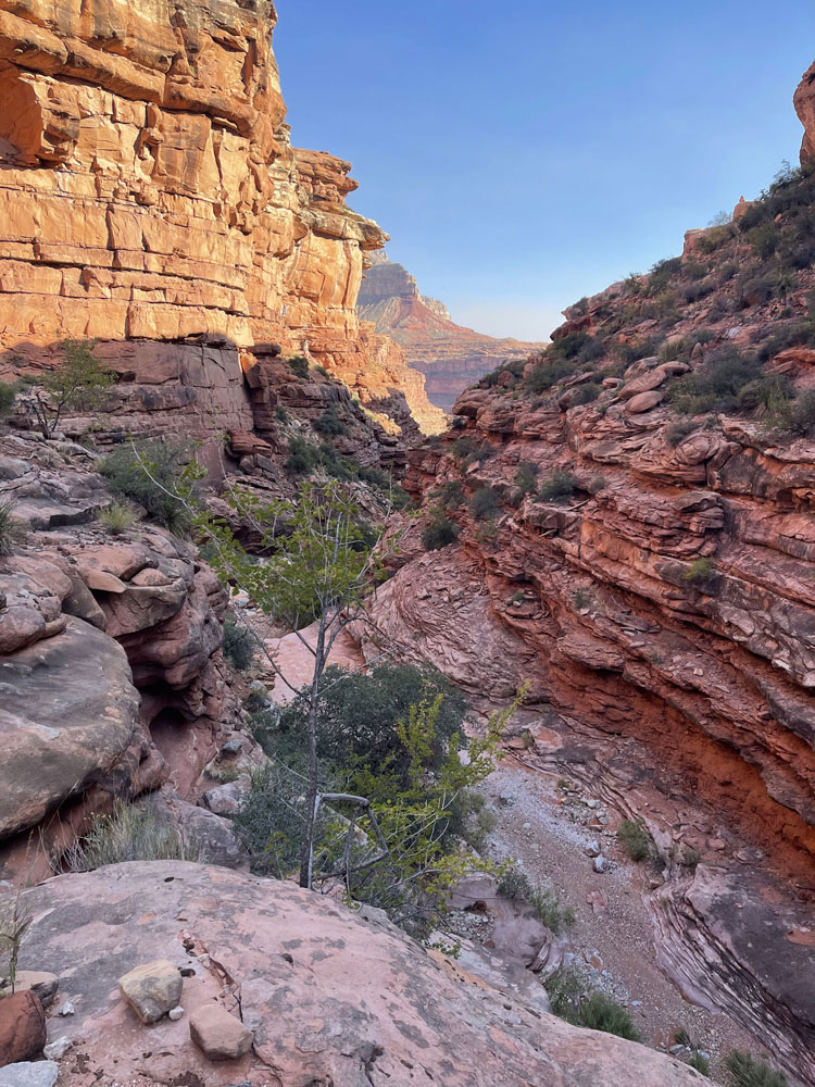
On Day 5, we
decided to hike down Scotty's without packs to see how hard it would
be to continue down. We found a reasonable way thru the
jumble, but it would not have been very easy. Past the
jumble it looked like it would start getting a lot easier. But
below the jumble of rocks and brush was a relatively open canyon
that looked hot and dry. So we turned around and headed back
to camp.
|
 |
 |
 |
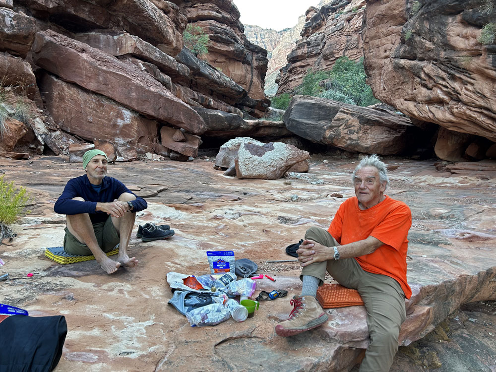
| Rich & Ben Heading
Down Scotty's. |
Ben and I Heading
Down Scotty's. |
Jumble of Brush and
Boulders. |
|
 |
 |
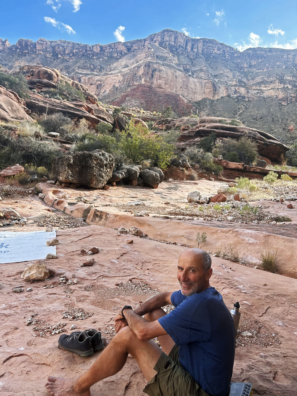
 |
| Bob on Dayhike Down
Scotty's. |
Ben and I Relaxing at Camp. |
View Up-Canyon From
Our Camp. |
|
Day 6.
October 23. Scotty's to Esplanade |
|
Click on photos
to see larger image.
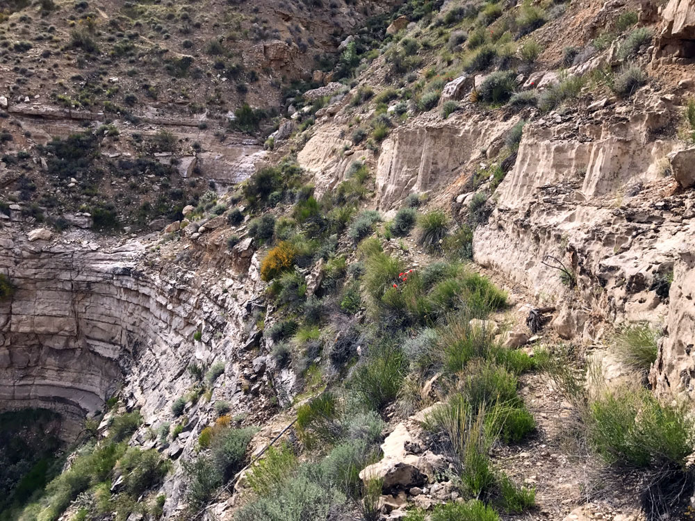
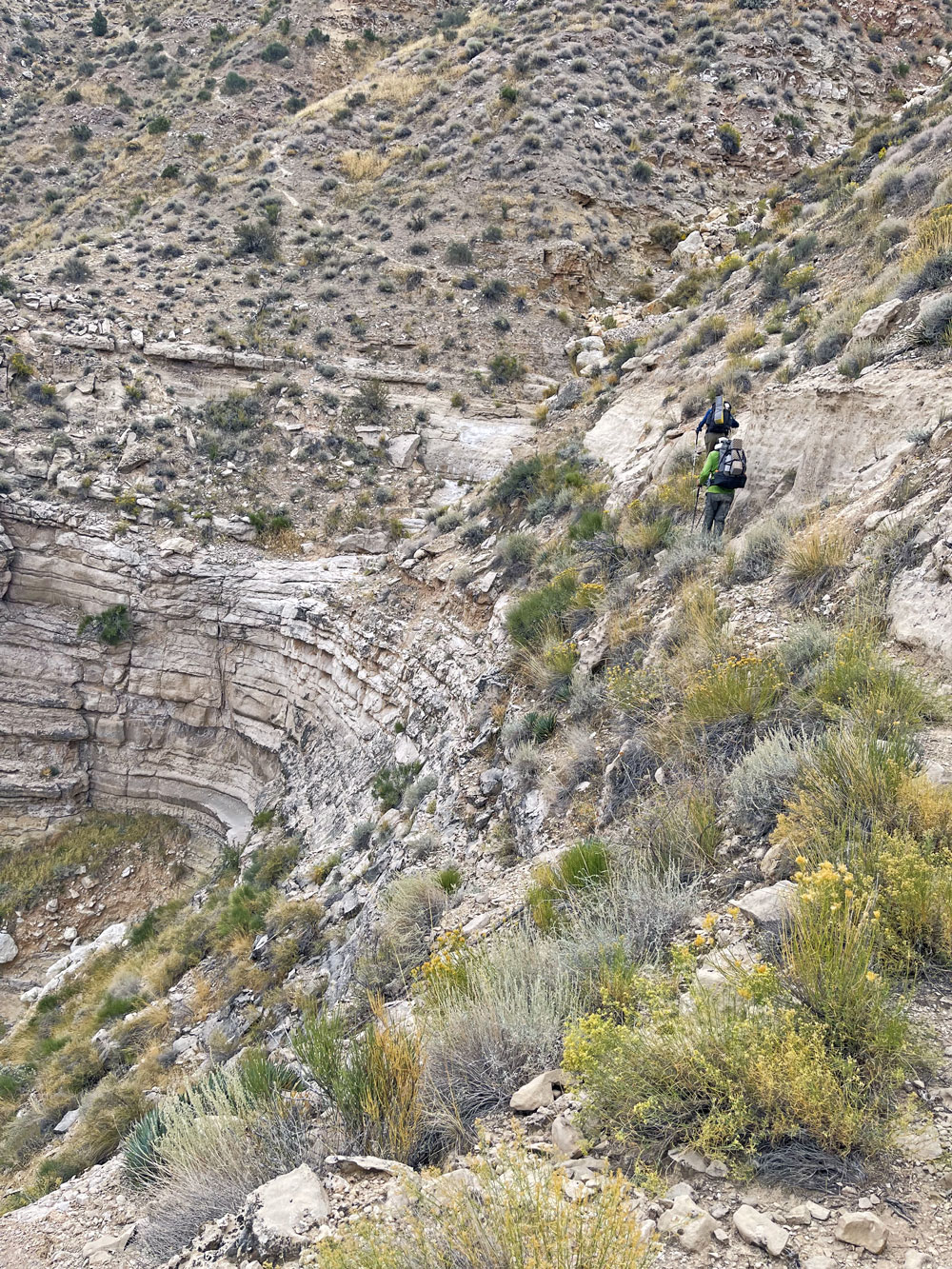
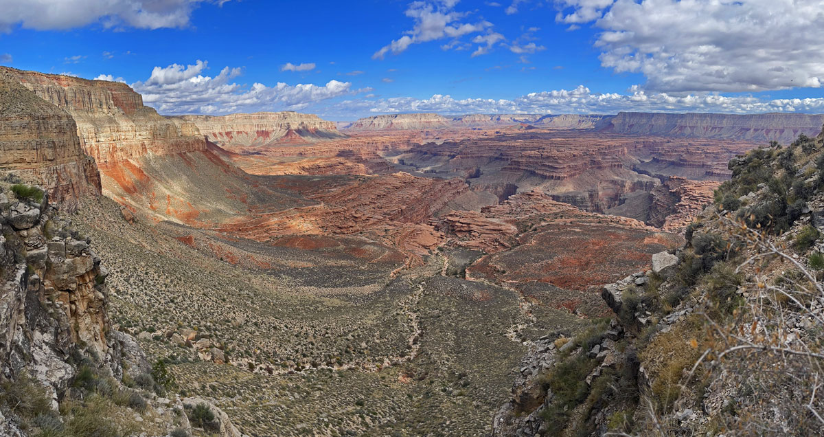
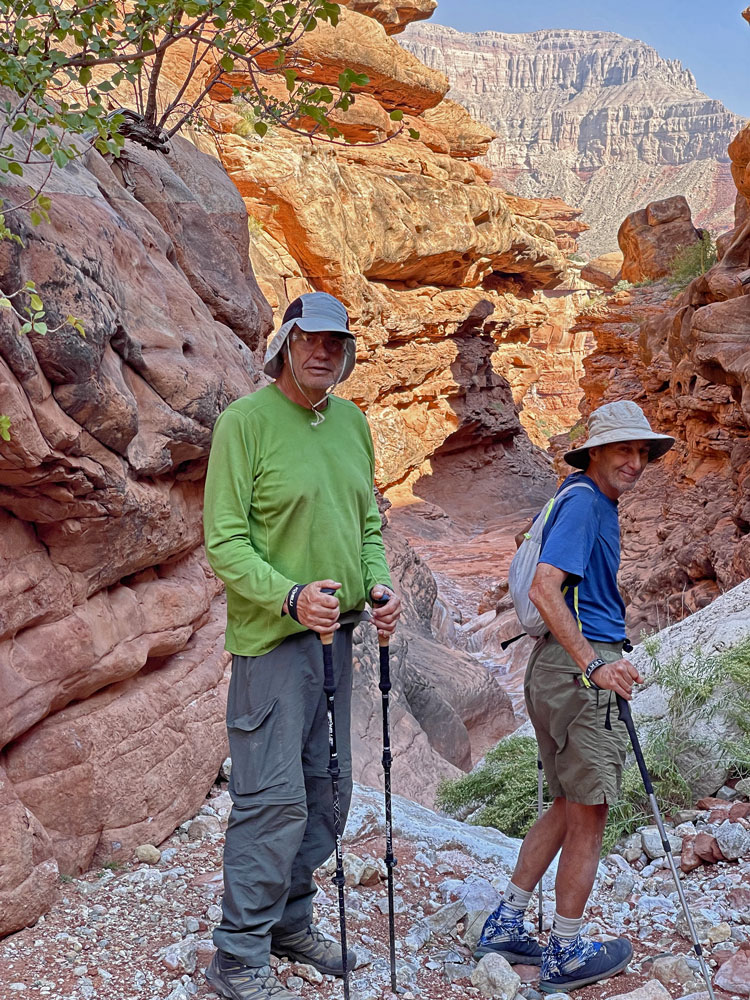
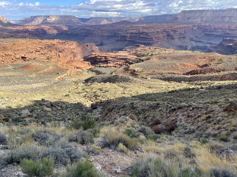
Our objective
for the day was to hike back up to the Esplanade, then over to the
small pothole we found on Day 2 and camp there. After a short
but brisk hike to the Esplanade, we contoured around and back to our
previous campsite. We decided to continue around to some nice
ledges above the potholes and camp there. The next day we
planned to pick up enough water for a dry camp the next day.
When we got to
our new campsite on ledges above the pothole canyon, we went down to
our pothole to collect water. The pothole was smaller than we
remembered, and it had probably dried out some too. We began
collecting water, but we quickly drained the pothole. After
collecting all the water we could get, we virtually drained the
pothole. We didn't have nearly enough water for the rest of the day
and a dry camp for tomorrow night. This was another morale
buster. We had plenty of water for the night, but not nearly
enough for tomorrow. We were wondering if we would have to call for a
rescue, a thought that was abhorrent to all of us.
|
 |
 |
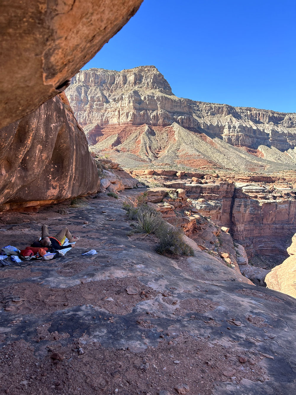 |
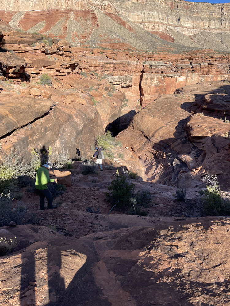
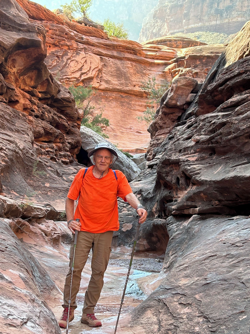
| Exiting Scotty's Near
Mushroom Rock. |
Taking a Break.
Hiking to Esplanade. |
Our Camp |
|
Day 7.
October 24. Collect Water & Dry Camp on the Esplanade |
|
Click on photos
to see larger image.
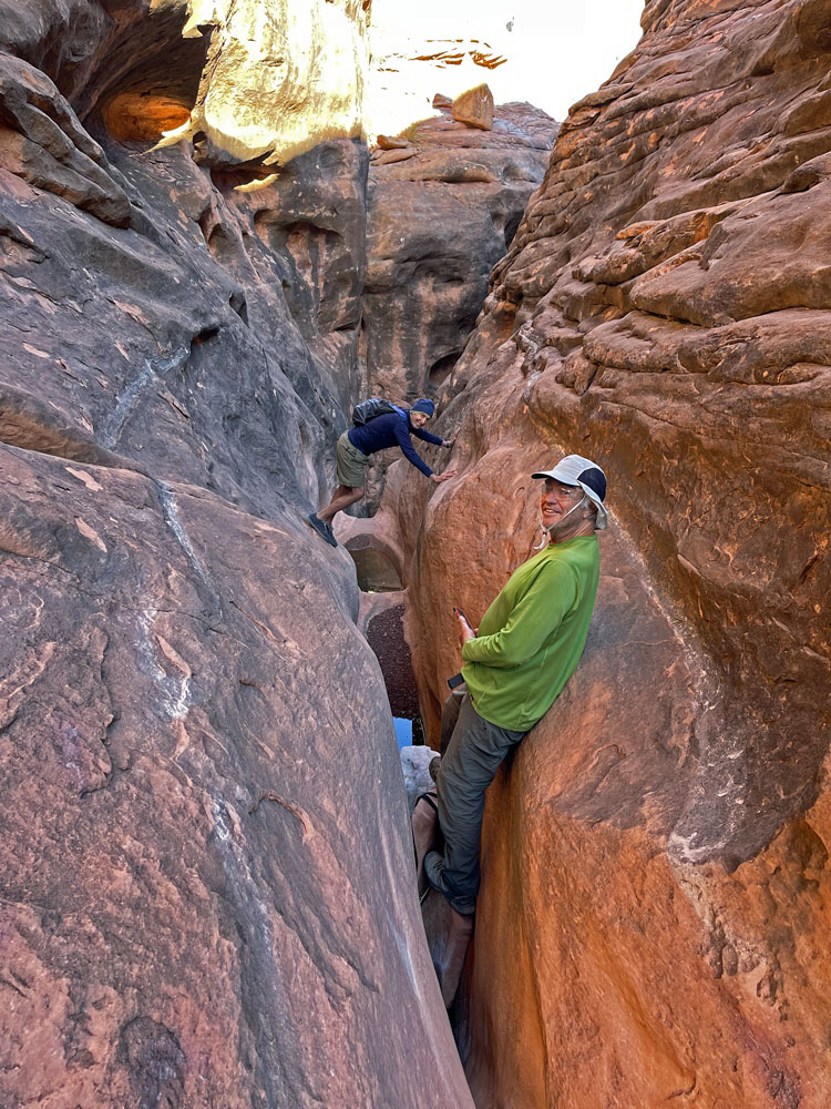
In the morning, Ben decided to
hike farther down into the pothole canyon to see if there was more
water. It didn't look promising from above as the canyon
quickly narrowed and steepened into a spooky defile. Ben
found potholes with water. He thought he could get to
them, but we might need to drop a
pot on webbing in order to actually get water. We
gathered our two sections of webbing (probably 70 ft total) and all
of our water bags, and descended to the potholes. Once we got
close, it didn't look as foreboding as we expected. Ben was
able to climb down to the upper pool, fill our bags, and had them
back up to me and Rich. The water quality was excellent, and
we now had plenty of water for a dry camp. I suspect these
potholes are reliable most of the year.
|
 |
 |
 |
| Potholes. |
Rich and Ben at the Potholes. |
Ben Getting Water. |
|
Now our
objective was to cover enough ground so that tomorrow would be an
easy hike back to our first campsite and water. The
temperatures had diminished a bit, making for more pleasant hiking, although it
was still pretty hot.
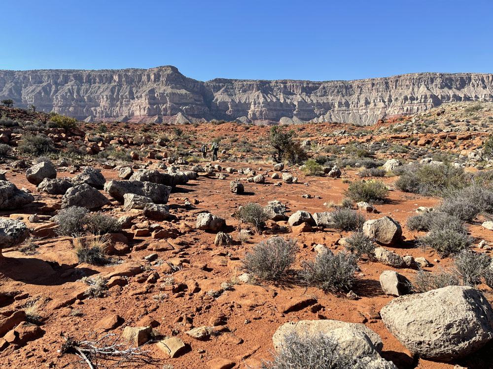
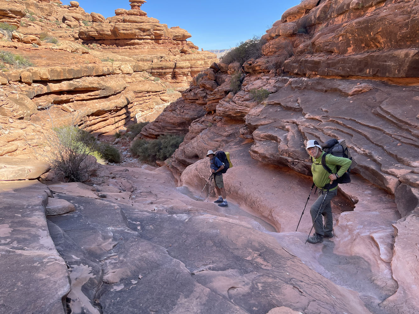
The Esplanade in
this area is very flat and easy hiking. It didn't take long to
get to the next side canyon, only about 1.5 miles away. We
dropped down into the canyon to find a shady campsite. |
|
Day 8.
October 25. Hike Back to Our First Camp. |
|
Click on photos
to see larger image.
After a
leisurely breakfast, we packed up and headed for the canyon where we
camped the first night. We had plenty of water left over from
dinner and breakfast. It was a very easy and short day, and
the temperatures have dropped significantly. We didn't get
going until late morning.
|
 |
 |
 |
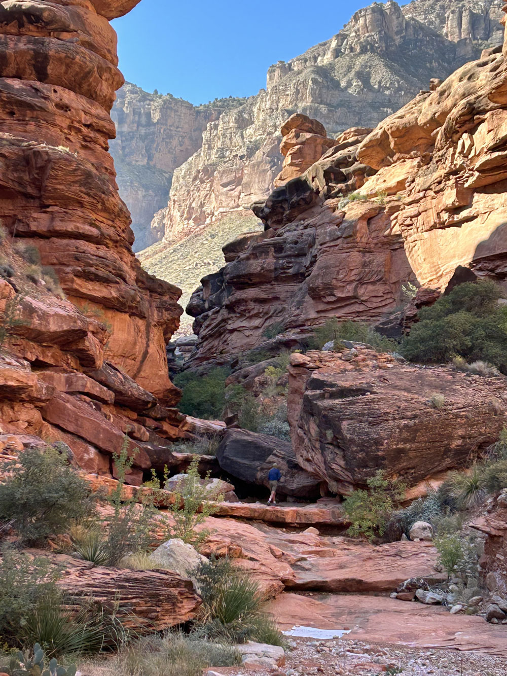
| Bob Heading a Side
Canyon. |
Dropping Down to Our
First Campsite. |
Tarantula. |
|
Day 9.
October 26. Hike To a Point Closer to Our Exit |
|
Click on photos
to see larger image.
To make
tomorrow's hike out as easy as possible, we hiked back to a campsite
close to the drips we found on Day 1. This only took about 45
minutes, so we got a very leisurely start. We would need to
haul enough water for a dry camp and the hike out tomorrow,
|
 |
 |
 |
| Hiking Towards Our
Last Camp. |
Our Last Campsite |
Ben with Our Exit Route
in Background. |
|
Day 10.
October 27. Hike to Rim Via Kanab Point Trail |
|
Click on photos
to see larger image.
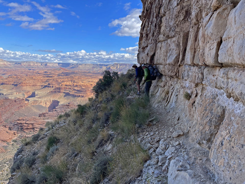
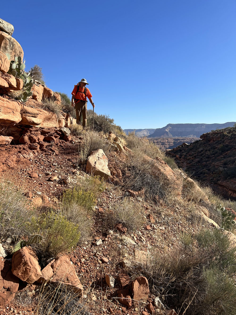
We began hiking
shortly after 8 AM. In less than an hour we were climbing the
steep section of the talus. The temperatures were the lowest
we've had. We ran into a rattle snake while hiking along one
of the ledges. Rich was so startled that I thought he was
going to go over the edge.
We had two
issues hiking out. The first was finding the right ledge at
the top of the talus. I knew it was the very last ledge, but
Ben and Rich turned off onto one of the lower ledges. They
couldn't see that there was another higher one. The second
problem occurred after crossing the "ridge" mentioned on Day 1.
Once over the ridge, we should have climbed higher to access the
steep chute that goes almost to the top. The trail has been
washed out in this area, so it was a bit confusing. We
contoured on at about the same level until it was obvious we were
not in the right location. We though we might be able to climb
another chute that we saw ahead of us, but when we got there it was
virtually impossible. So we turned around and kept an eye out
for the correct chute. When we finally determined the right
chute, we (mostly Ben) decided to climb directly to the chute rather
than contouring over to it's beginning. It was a very steep
climb (Class 3+). We were very relieved when our shortcut
brought us to the correct chute and a faint trail.
Once at the car,
we drove back to Kanab and the Rocking V for dinner. Then the
drive to Page and the motel. Rich and Ben had flights the next
morning, and I drove back to Taos.
|
 |
 |
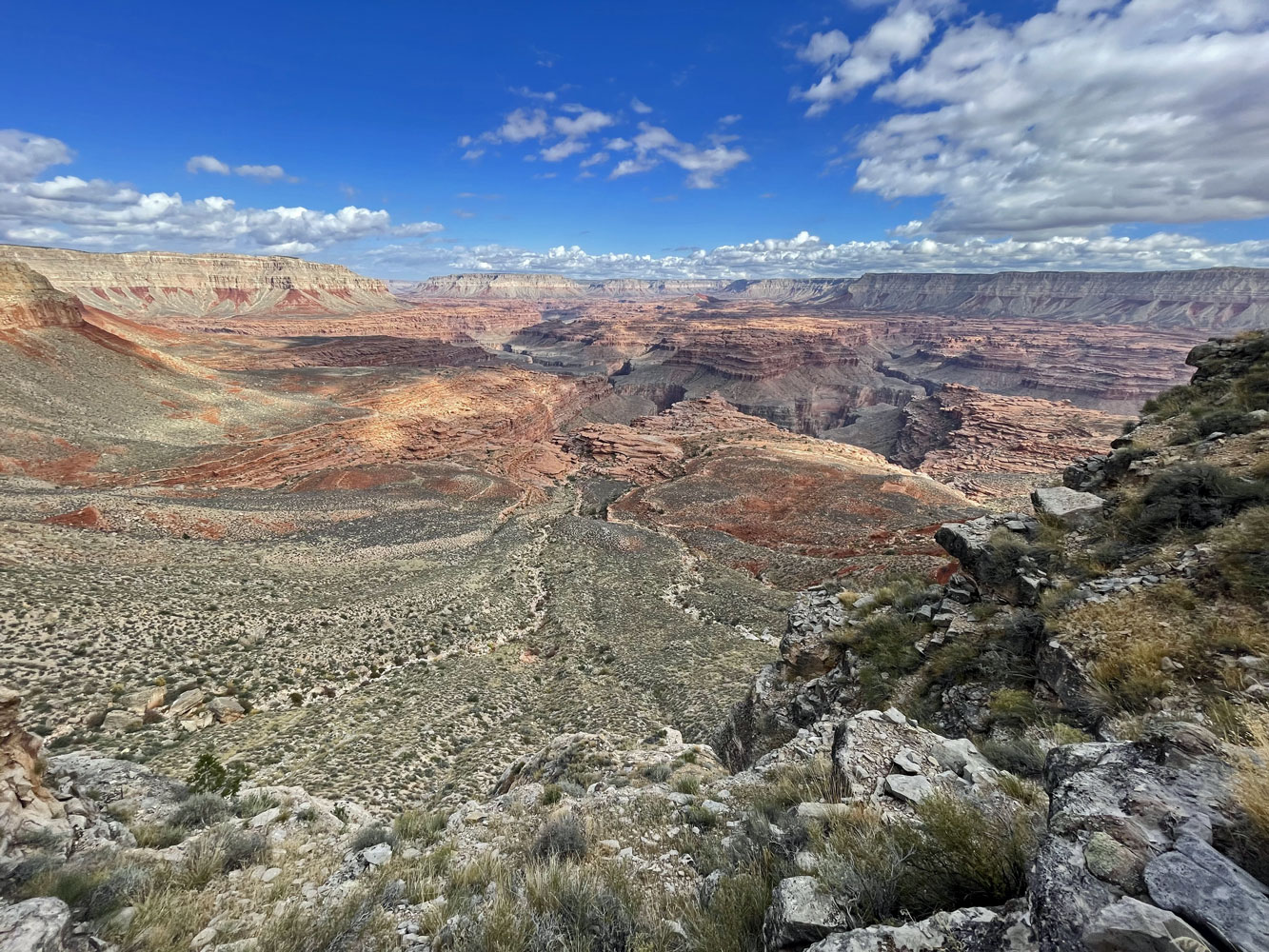 |
| Begin the Long Climb
Out. |
After the Talus Comes
the Ledge Walk. |
Awesome Views. |
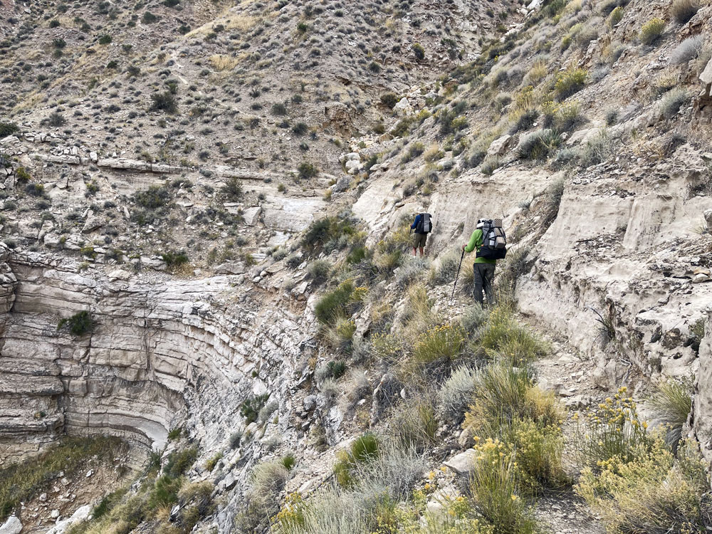 |
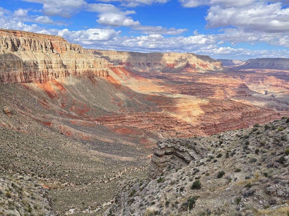 |
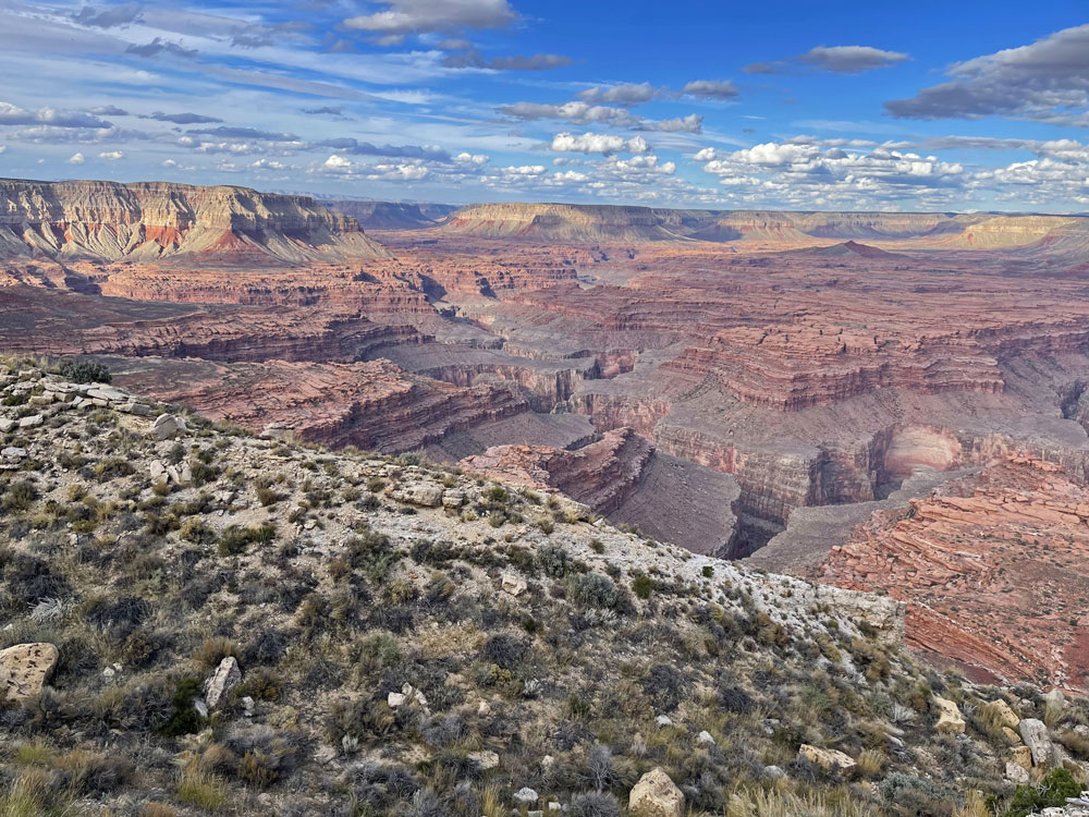 |
| Ben and Rich Hiking
Along Ledges. |
Spectacular Views All
the Way Up. |
View Near the Top. |
|