|
The history of
this trail is described in a Park Service brochure as follows:
|
"In
1883, 'Captain' John Hance became the first European
American to settle at the Grand Canyon. He
originally built his trails for mining, but quickly
determined the real money lay in work as a guide and
hotel manager. From the very start of his tourism
business, with his Tennessee drawl, spontaneous wit,
uninhibited imagination, and ability to never repeat a
tale in exactly the same way, he developed a reputation
as an eccentric and highly entertaining storyteller.
Shortly after his arrival, John improved an old Havasupai trail at the head of today's Hance Creek
drainage, the "Old Hance Trail," but it was subject to
frequent washouts. When rockslides made it
impassible he built the New Hance Trail down Red Canyon.
The New Hance Trail developed a reputation similar to
that of the original trail." |
The trail had a
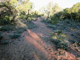
reputation for being very steep and rugged, and this reputation
continues to this day. It has been unmaintained since Hance
used it and I believe it is the most rugged and difficult trail off
the south rim. There are numerous slides and washouts, and
places where the trail is braided and obscure.
I started down
the trail with two quarts of water. My total pack weight was
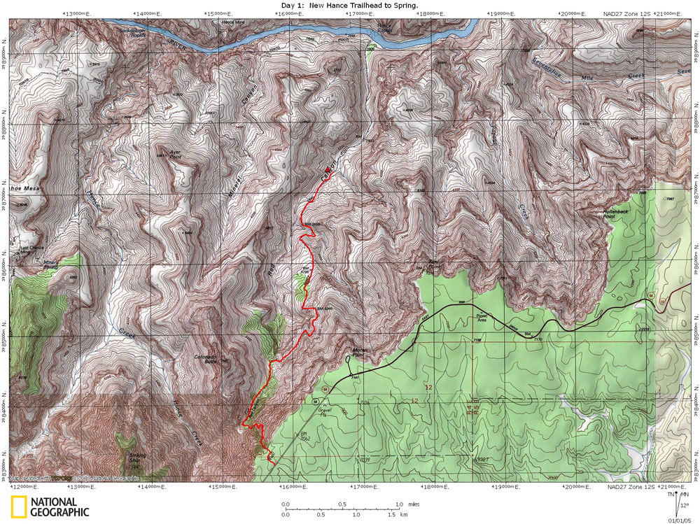
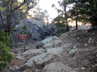
44 lbs. The trail begins at an elevation of 6982 feet and
drops to 3250 feet at the spring, located about 1.6 miles from the
river. So by the time I got to my campsite at the
spring, I would drop 3732 feet in 4.9 miles.
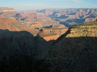
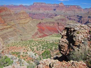
The trail drops
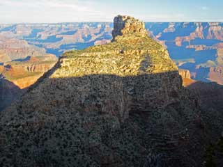
steeply to near a grassy saddle separating Coronado Butte from the
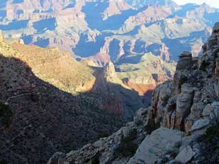
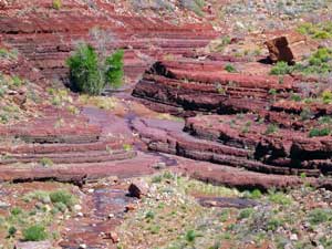
rim. From here the trail follows the bottom of the Red Canyon
drainage as it drops through the Supai layers, then begins a mile
long contour along the top of the Redwall Limestone before beginning
to descend. At 7:40 I ran into Rob Brading and his wife who
had hiked part way up the trail the day before. I know Rob
from the Yahoo Grand Canyon Group, and I met him two years ago in
Lonetree Canyon while hiking with my daughter.
|
