|
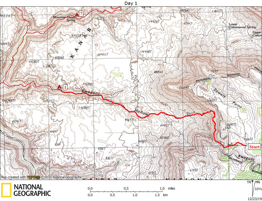
Day 1 October 21, 2019 Sowats Trailhead to Kwagunt Hollow |
 |
|
Click on photos to see larger image. Today's Route Stats: Distance: 3.5 miles Elevation Gain: 0 feet Elevation Loss: 2350 feet
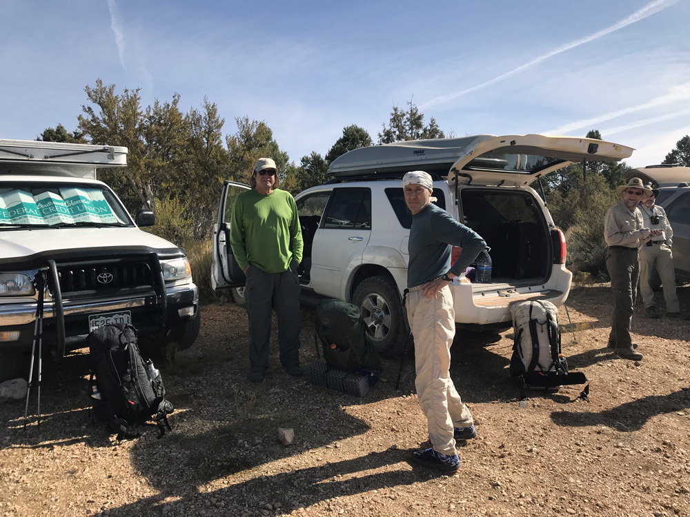
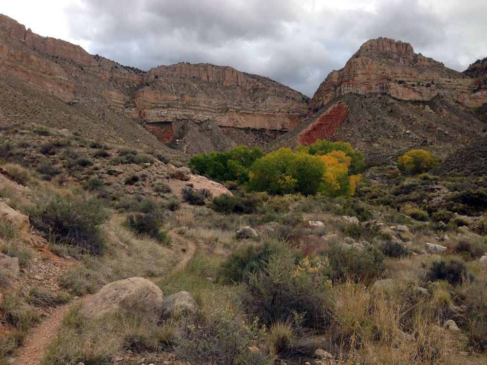
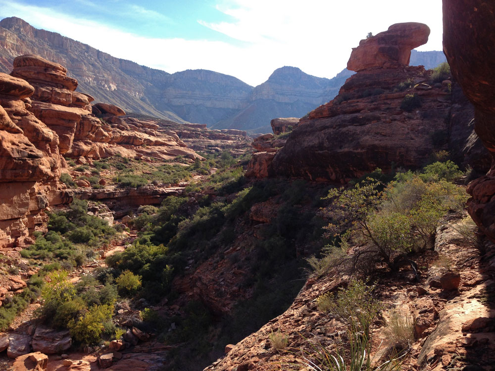
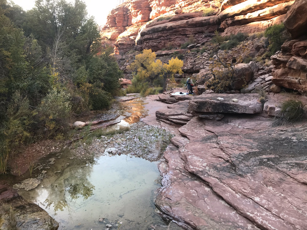
It was really cold last night -- below freezing. It took us a while to get packed up. We then drove to Sowats Point in my 4Runner. My car was packed full, including the roof rack. It took almost an hour to drive the 30 miles of dirt road. By the time we started hiking, it was already mid-morning. The trail starts out with a gradual descent, then contours over to a steep talus slope. You only drop 600 feet in the first mile, then another 1200 feet in the next 0.9 miles. Although very steep, the trail is in very good condition. After 1.9 miles and a drop of 1800 feet, we turned off the Jumpup-Nail trail and continued hiking down Kwagunt Hollow. I have always found water in the drainage below the lower clump of Cottonwoods, about 35 yards past where the Jumpup-Nail trail makes a sharp turn to the north and out of the drainage. There was some water there this time too, although none of us needed any. |