|
Day 4 October 24, 2019 Pothole Camp on Ranger Trail to Kanab Creek Near Chamberlain |
 |
|
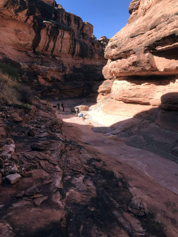
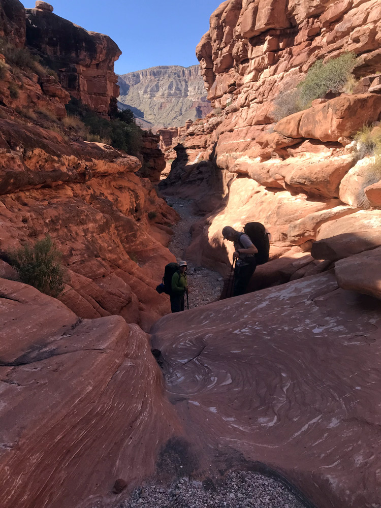
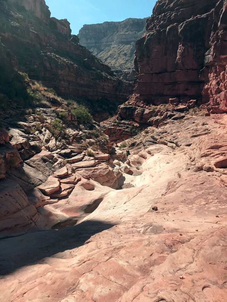
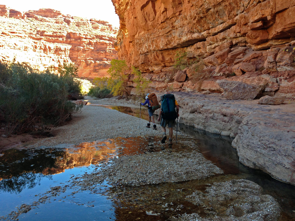
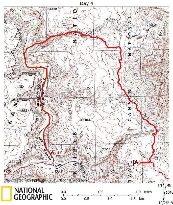
Click on photos to see larger image. Today's Route Stats: Distance: 6.5 miles Elevation Gain: 300 feet Elevation Loss: 1100 feet Our goal for the day was to get to Kanab Creek and hike down to the last water or to the mouth of Chamberlain Canyon, whichever one came first. This sounds good, but Kanab Creek is intermittent, so it is hard to know if you are at the last water. To keep our mileage for the day as short as possible, I decided to take a shortcut. Instead of hiking to Kanab Creek via the Hack-Lawson Trail, we would hike down the un-named canyon south of Lawson Canyon. Although I couldn't find anyone who had hiked this side-canyon, it looked pretty good on Google Earth. If we were successful, it would cut off a little over 2 miles of hiking. I was originally planning to hike to the main drainage of this side-canyon, which is very near where the Hack-Lawson trail branches off the Ranger trail. But as we were approaching our side-canyon, we decided to turn off on a side-canyon of the un-named side canyon, and save about 600 yards. It all went well until the end of our short-cut. The canyon narrowed and dropped off very steeply into our main side-canyon. We all managed to get down safely, but it was a bit sketchy.
|