|
Day 4 April 17, 2017 Cowboy Camp to Potholes |
 |
|
Click on photos to see larger image.
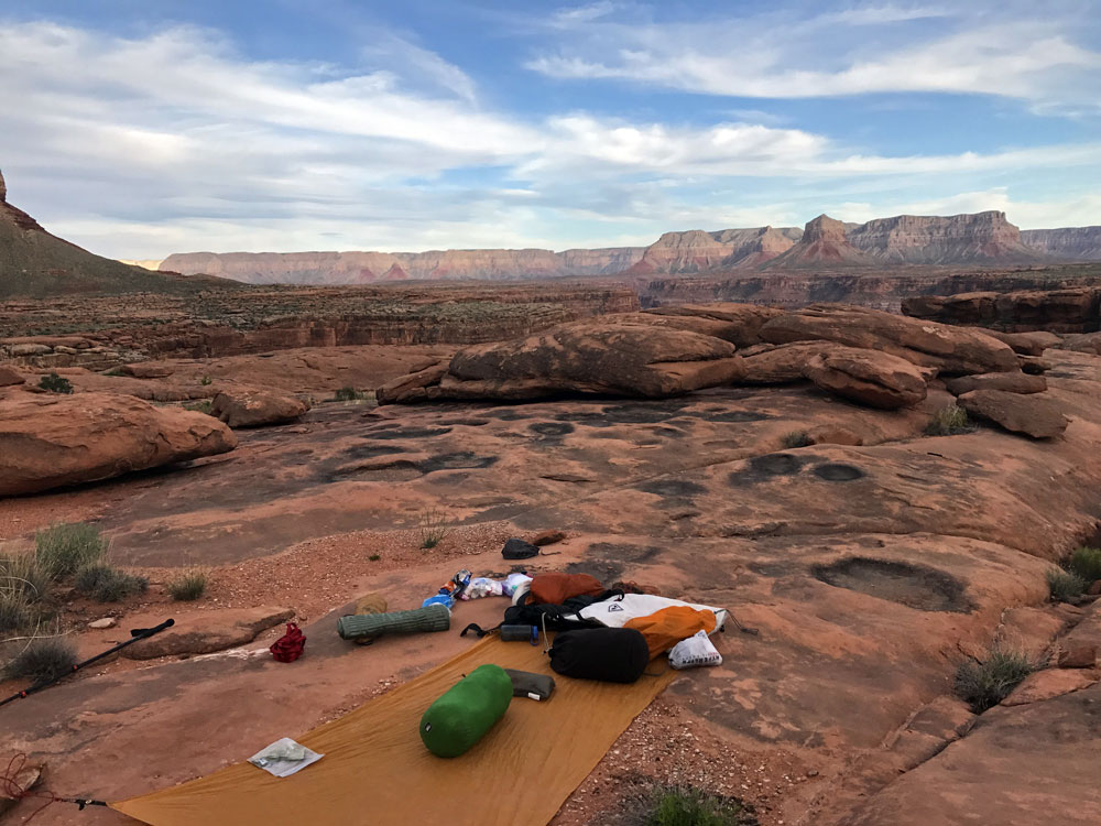
Today's route stats: Distance: 2.5 miles (estimate) Elevation Gain: 300 feet Elevation Loss: 300 feetLast night, after returning from Cork Spring, we took a long look at our map, trying to determine whether or not we should continue on our original plan. The main problem from here on was lack of water. We had been counting on finding water in the side drainages, and except for one small pothole, all of the side canyons we checked out were dry. And we had a very long way to go. I estimated the distance to the next known pothole (never a sure thing) was about 9 miles. And the next known water after that was approximately 14 additional miles. Some of these miles would be very slow going. Besides, I was having trouble with the heat. And I have slowed down a lot over the past several years, not leaving much of a safety factor. So we decided to turn around. We had lots of time, so we decided to take our time getting back to our car, and only going back to our last pothole camp above Paradise Canyon today.
|
 |
|
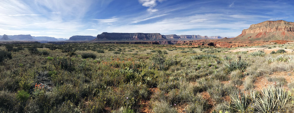
Esplanade Panorama. View Looking SE. Mount Sinyella in Far Left of Photo. |
 |
 |
 |
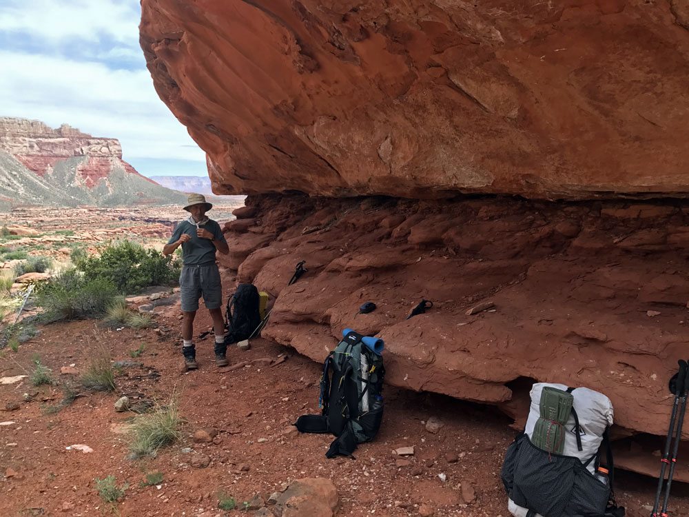
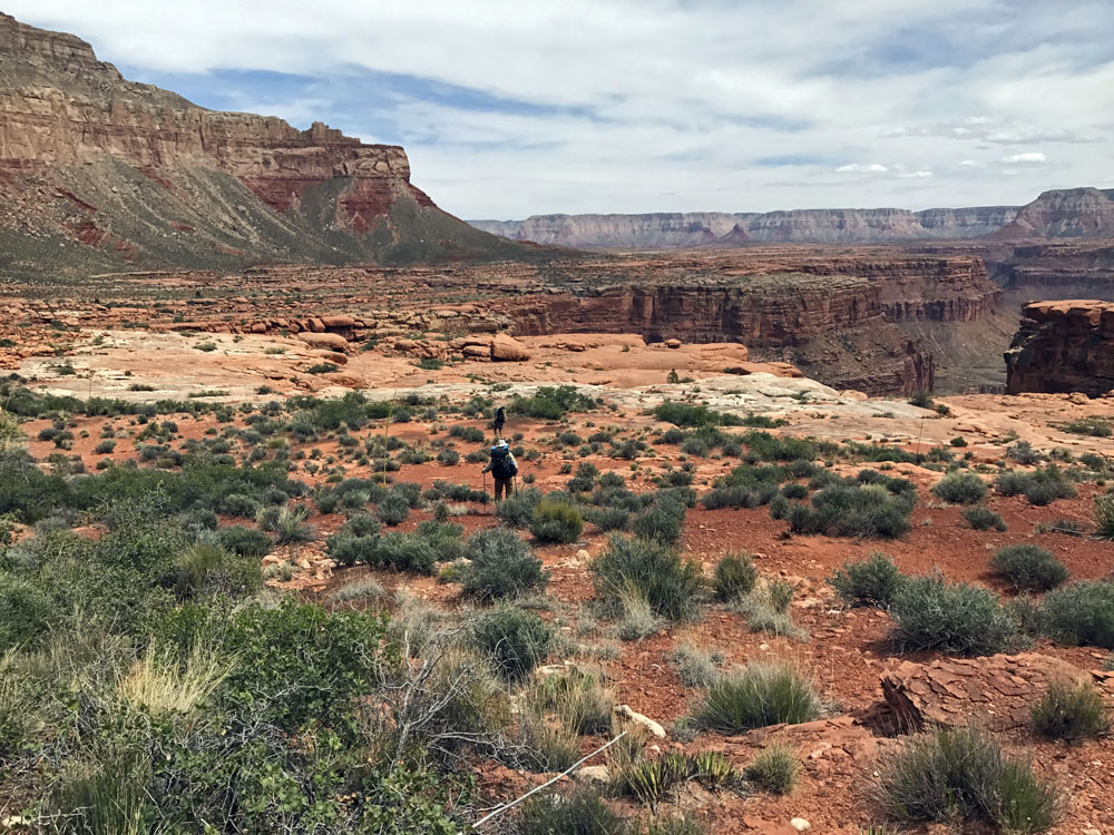
| Rest Break in the Shade. | Hiking Along the Esplanade. | My Home. |