|
Deer Creek to Kanab Creek Loop
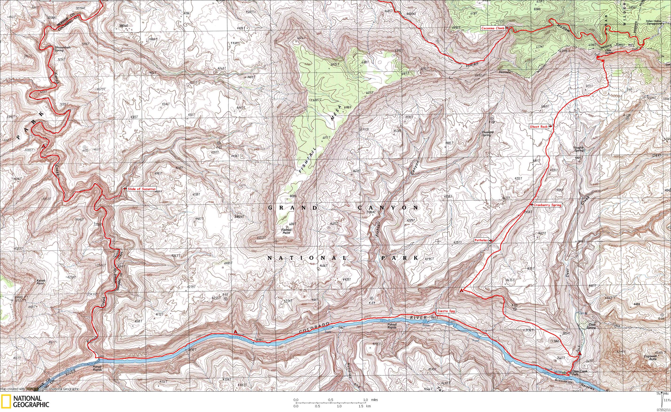
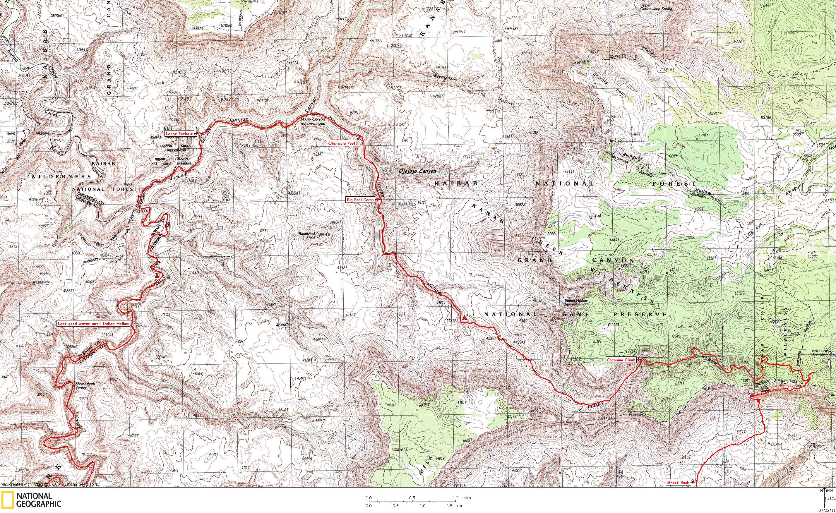
NOTE: Click on Hypertext to view photos. Two maps show the route:
Map 1 shows the first half of the hike, and
Map 2 shows the last half of the hike. Our campsites are indicated by a red tent.
Preface: This hike was described by George Steck in Grand Canyon Loop Hikes I. I had completed this loop once before, in May, 1991. . However, this is the loop I attempted in 1990 where we got into serious trouble and had to abort the trip without even getting to Kanab Creek.
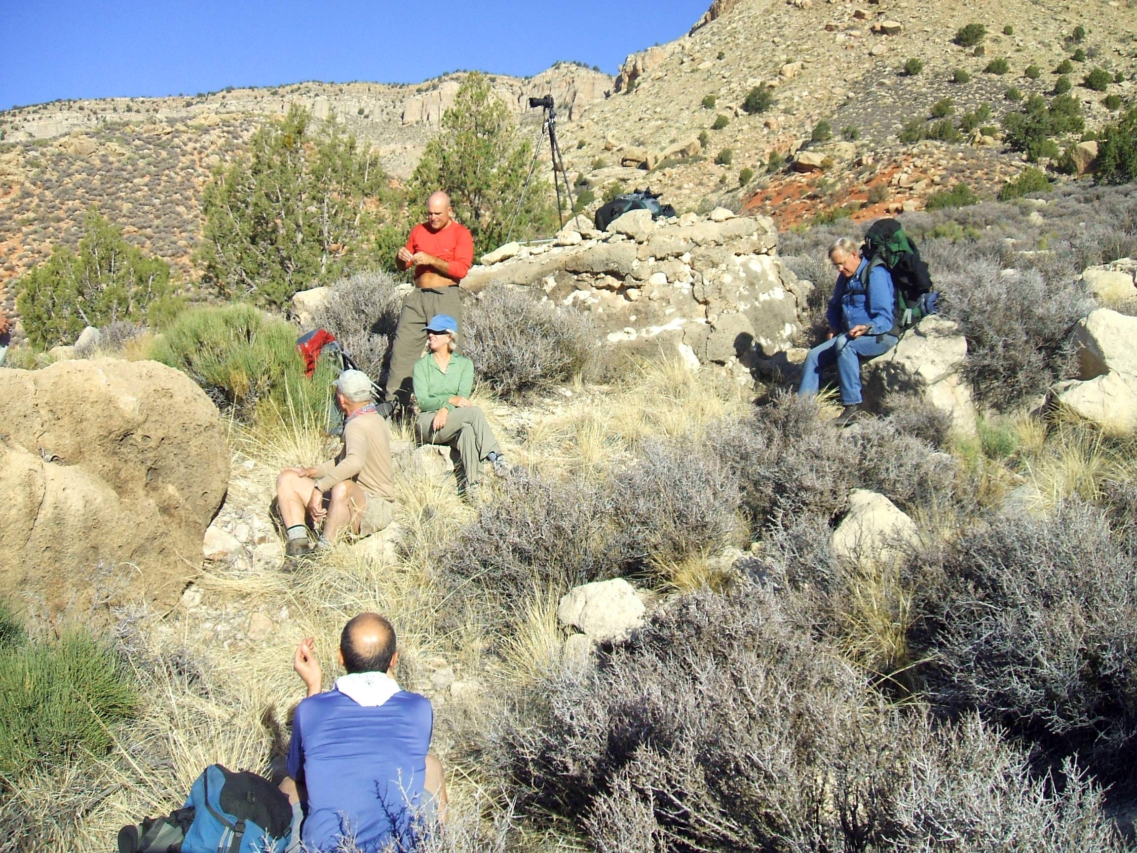
Trip members included
Jim, Fred, Randy, Bert, Marcey, Chuck, Ben, Nobby, and me.
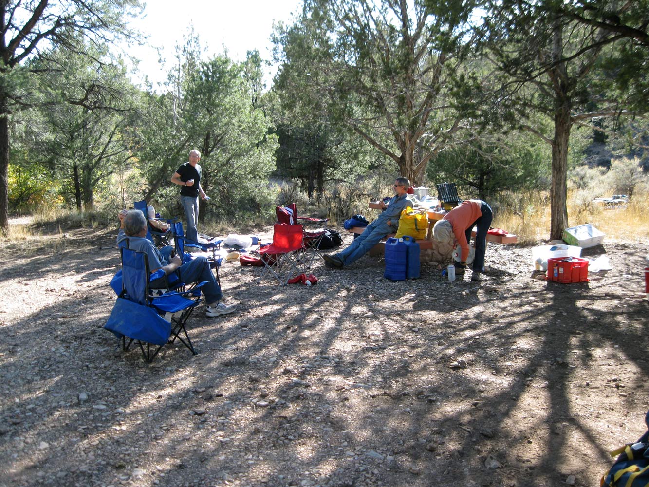
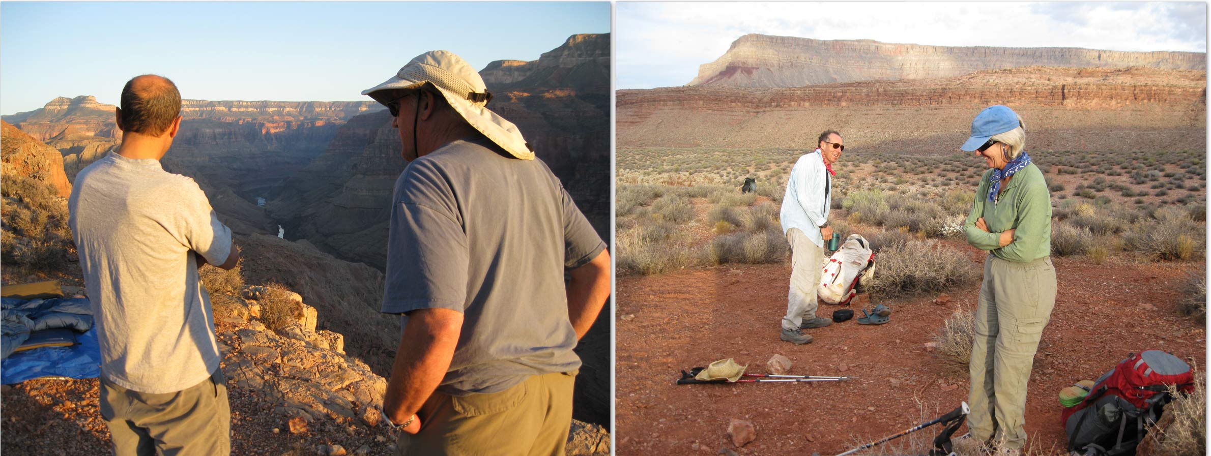
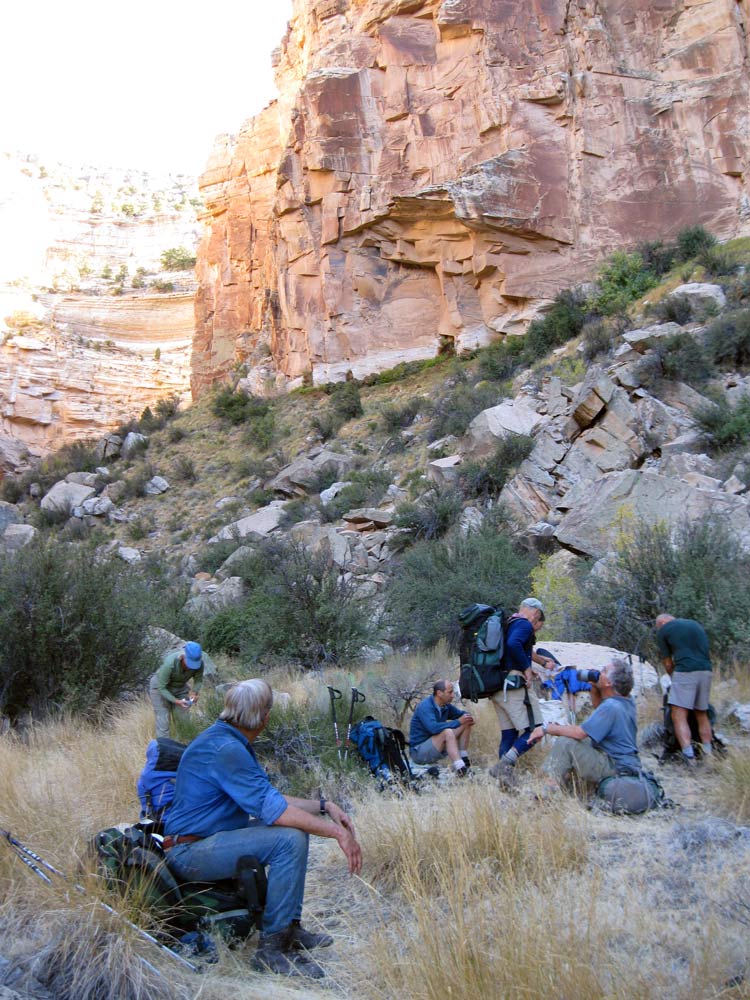
October 10, 2009. By late afternoon our group of 9 had finally coalesced at Indian Hollow campground. Marcey prepared another great dinner for all of us. I slept in my car.
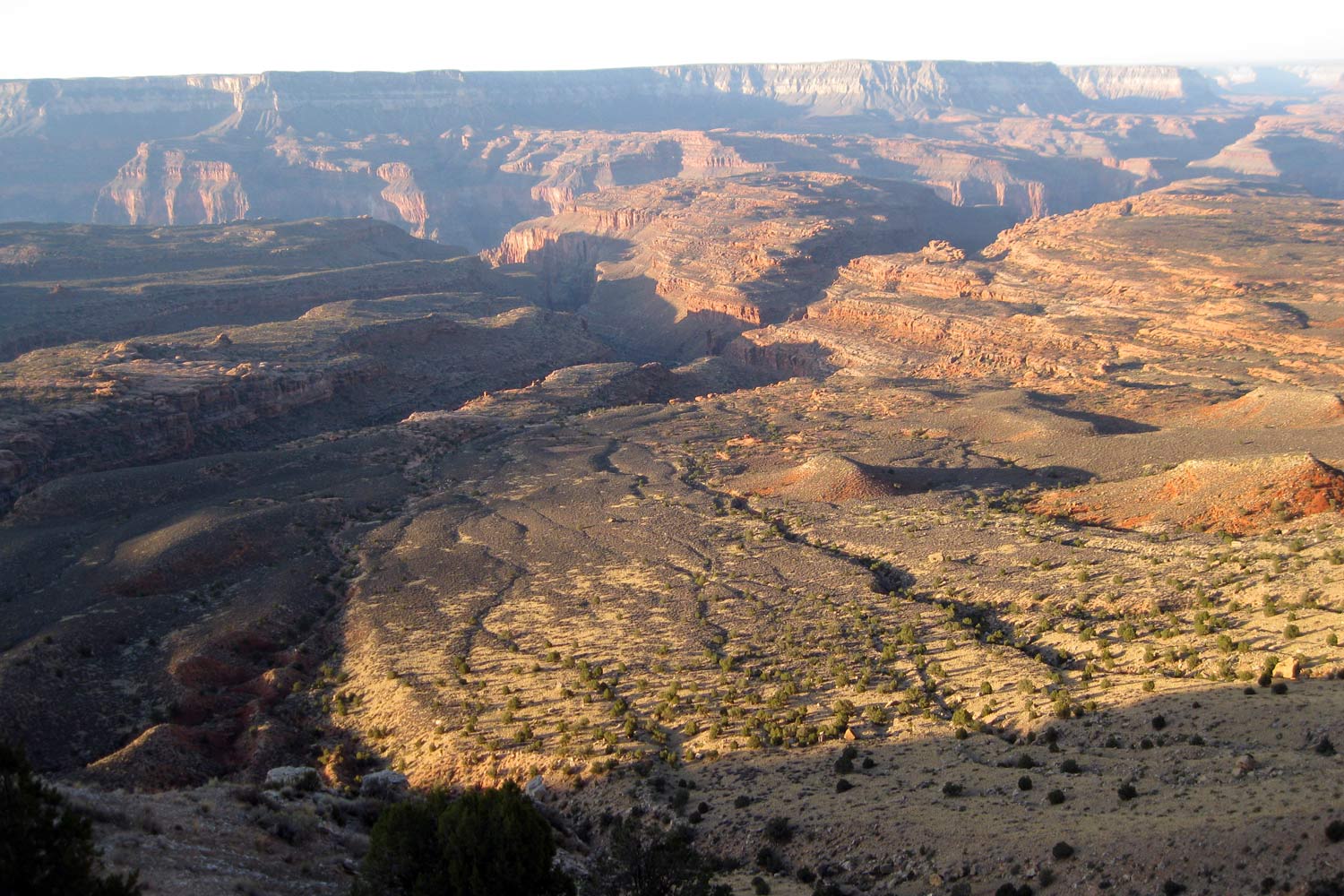
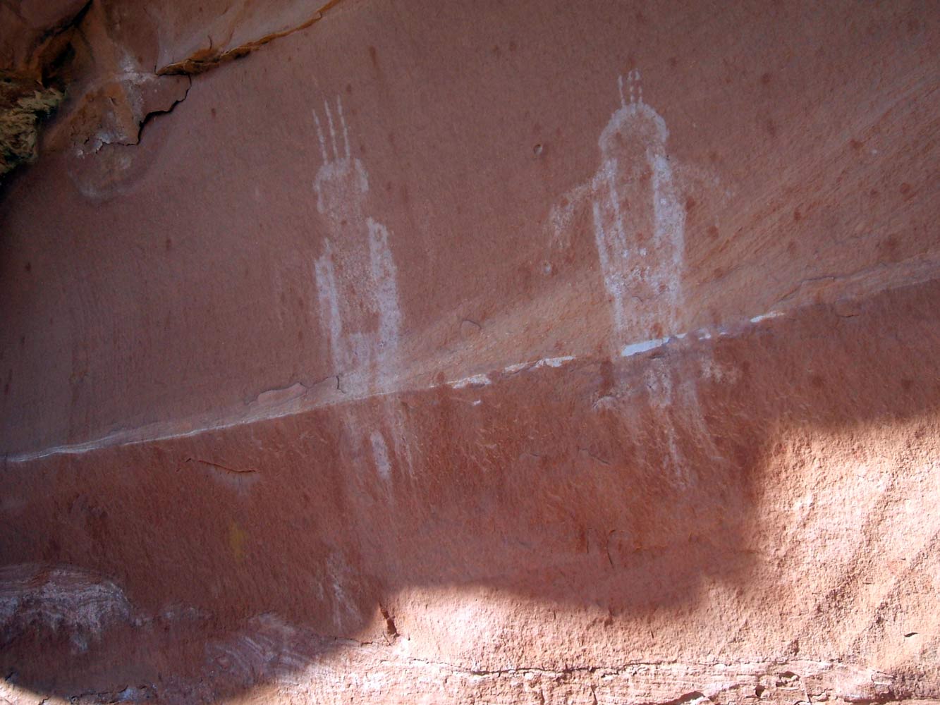
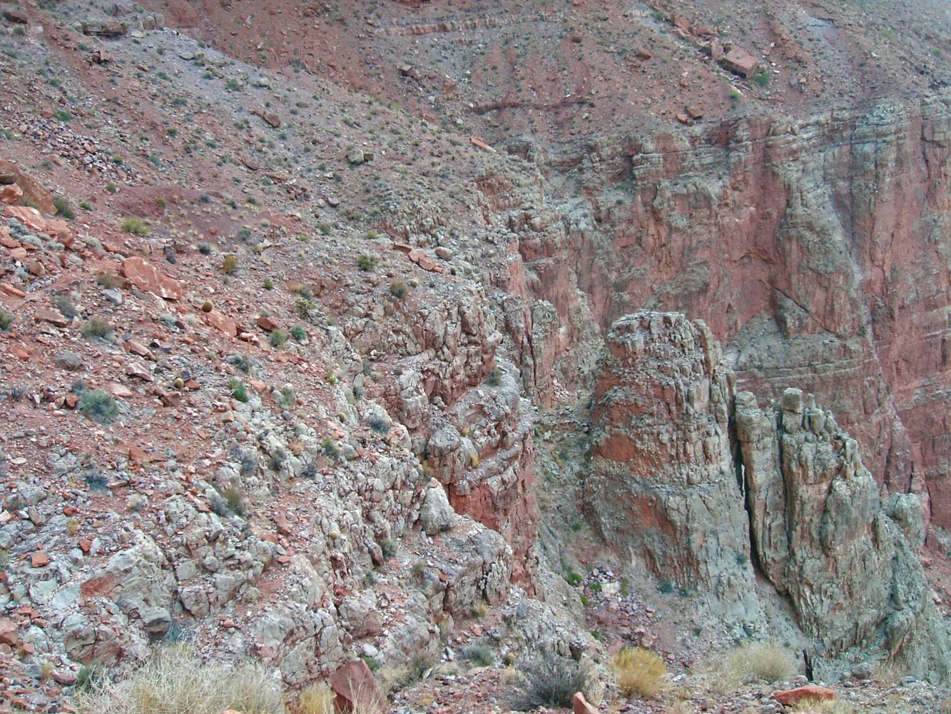
October 11, 2009. We got up early, as usual for this group, and were soon on the Bill Hall Trail, peering over the edge into the vast slickrock expanse of the Esplanade. This photo shows the Sinyella Fault running diagonally, starting at the upper right corner of the picture. We will head down this fault, which is where Cranberry Canyon is located. Deer Creek intercepts this fault from the upper left of the photo. Our route takes us to the right of the small, reddish mound near the center of the photo.
In less than an hour we had descended about a thousand feet. The trail was in very good condition except for one spot where it was pretty well washed out. At the 5200 foot level, the trail turns east and we turn to the south-west, towards Ghost Rock and Cranberry Canyon. We won't be on a trail for the rest of the week. Soon after leaving the trail we took a short break to regroup. Because this was my third time doing this section of the route, I was able to spot Ghost Rock in the distance. It didn't take long to get to
Ghost Rock, where we took a long break, wondering how long the
"ghosts" had been there. From Ghost Rock, our route meandered mostly due south and into the upper end of Cranberry Canyon. The name "Cranberry Canyon" is not on the topo maps. It was named by Dave Mortensen while doing a first ascent of the route on Thanksgiving day, 1968. The route drops steeply and reaches Cranberry Spring just as the terrain begins to level off.
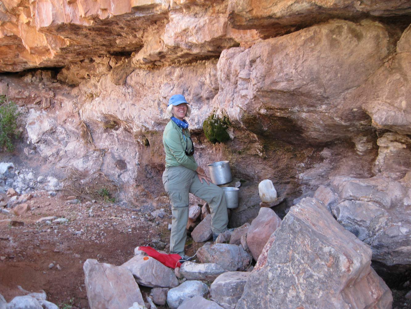
Cranberry Spring has been flowing every time I've been there, but only a half dozen or so drips. However, Rich Rudow had recently placed a gallon plastic jug beneath one of the drips, so that it should be full when we get there. And it was. But there were nine of us, so some of us continued down Cranberry looking for potholes that we had heard about from Dave Marcus, while the rest continued to collect the drips.
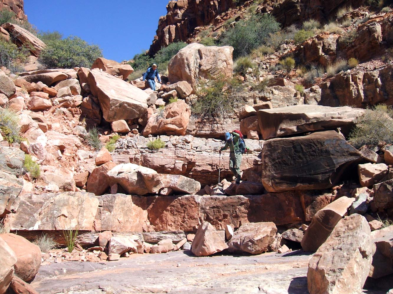
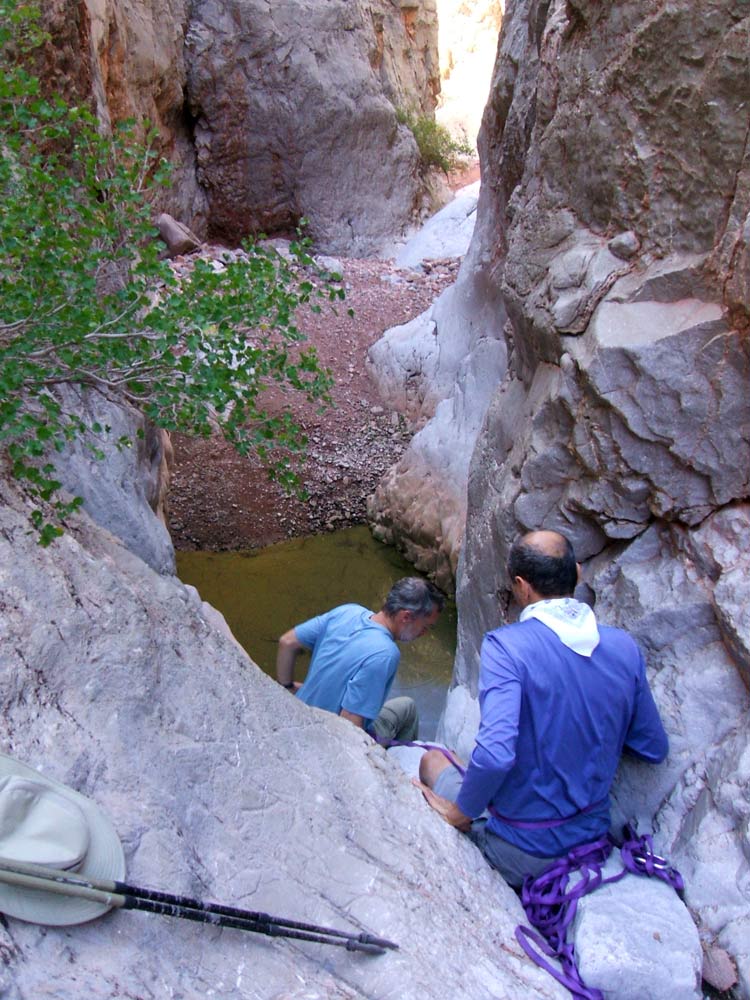
The initial hike down Cranberry Canyon was easy, and we soon found ourselves well into the Redwall. In about 20 minutes we came to a large pothole. Ben and Bert continued down canyon, but didn't get very far before coming to an impassible pouroff (just below the place shown in this photo).
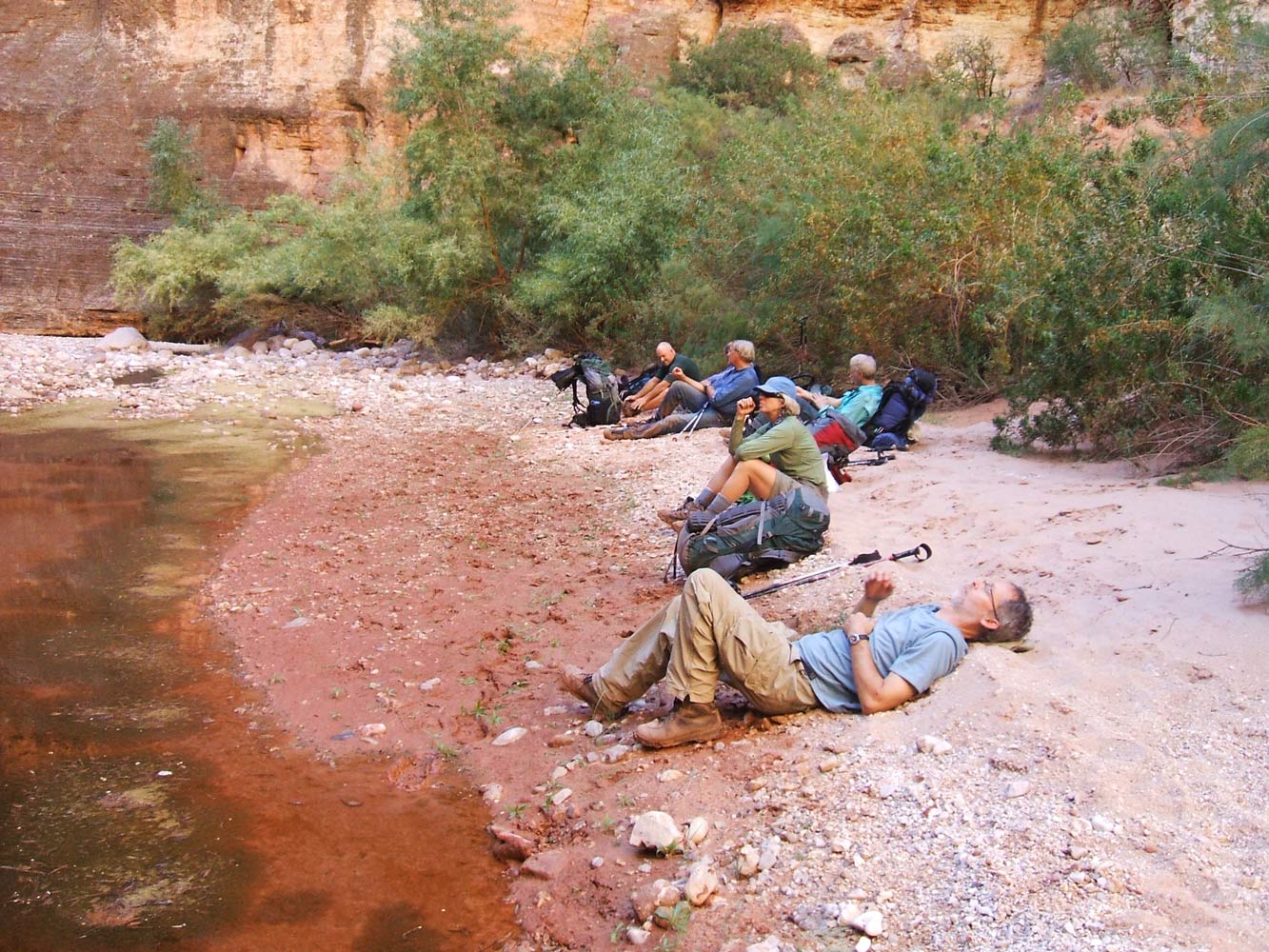
Our combined haul of water from both the spring and the pothole was over 14 gallons. The spring water was definitely better quality, but there was not enough of it for all of us. We needed water for the rest of the day, dinner that evening, breakfast the next day, and for the hike to Deer Creek. Although we were weighted down with all that water, we only need to go about another 90 minutes to our destination for the day: the point overlooking the river above the mouth of Cranberry Canyon. This
campsite, which I had stayed at twice before, is located on top of the Redwall and has
spectacular views in every direction.
October 12, 2009.
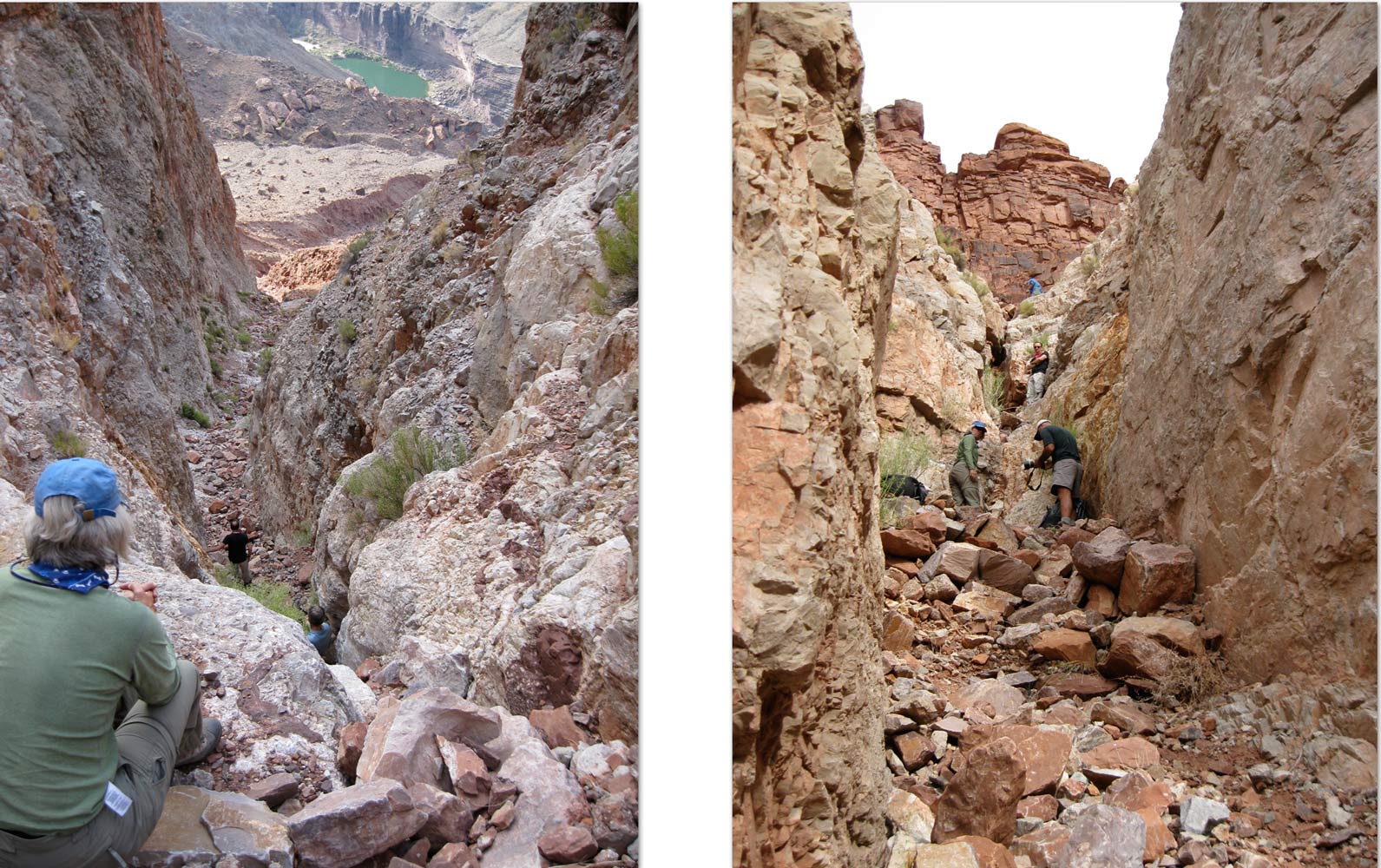
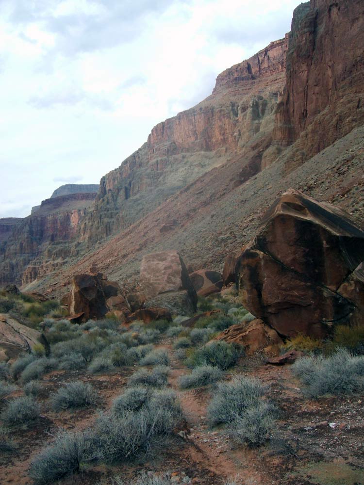
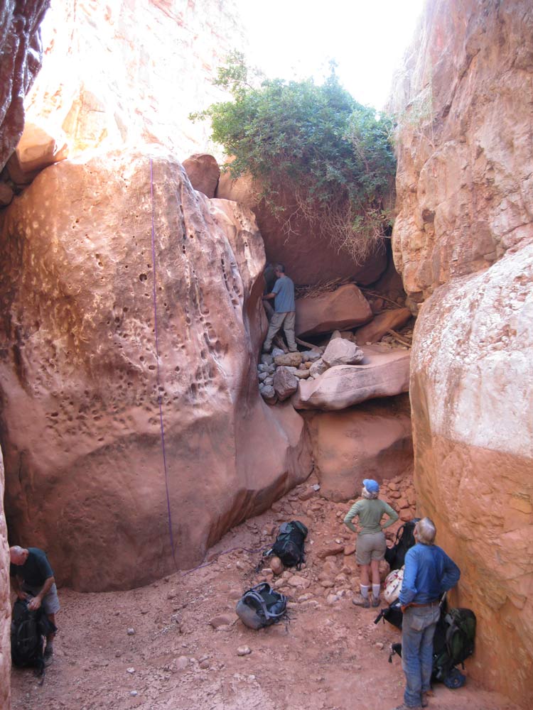
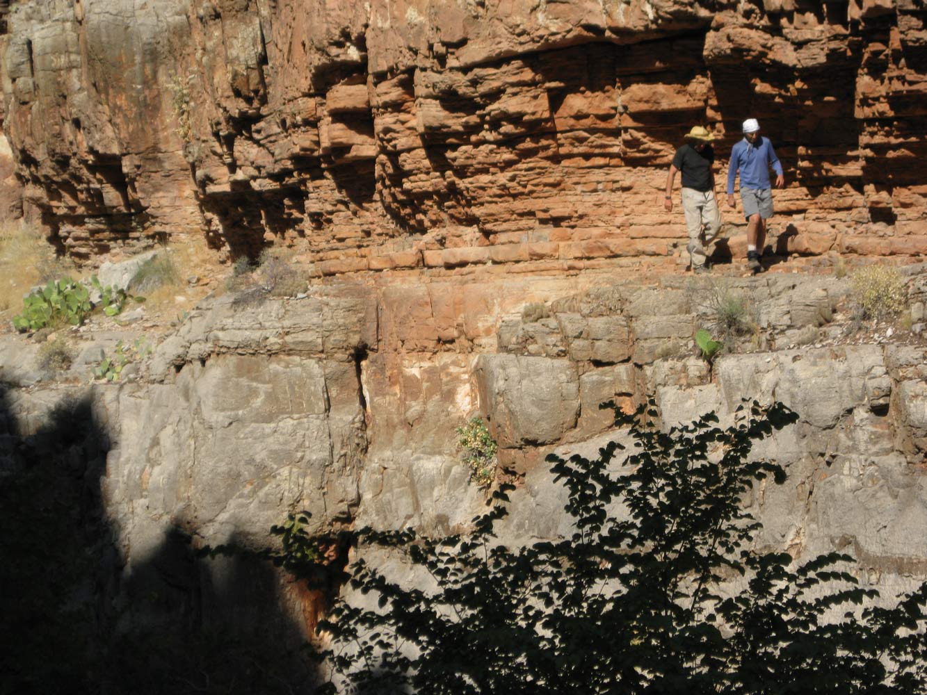
Today was expected to be one of the hardest days of the week. First we had to contour up-canyon, on top of the Redwall, and find the correct chute that will take us through the Redwall. The first time I did this hike I had an awful time finding the correct chute, and this delay was a major factor that caused our group to get into serious trouble between the chute and Deer Creek, our destination for today. I also had trouble finding the correct chute the second time I did this hike, and today was no exception. There are a number of chutes, and they all look difficult, but not necessary impossible, from the top. The correct chute is in the vicinity of this
photo, but I'm still not sure exactly where it is. We eventually found the
right one, or at least one that worked.
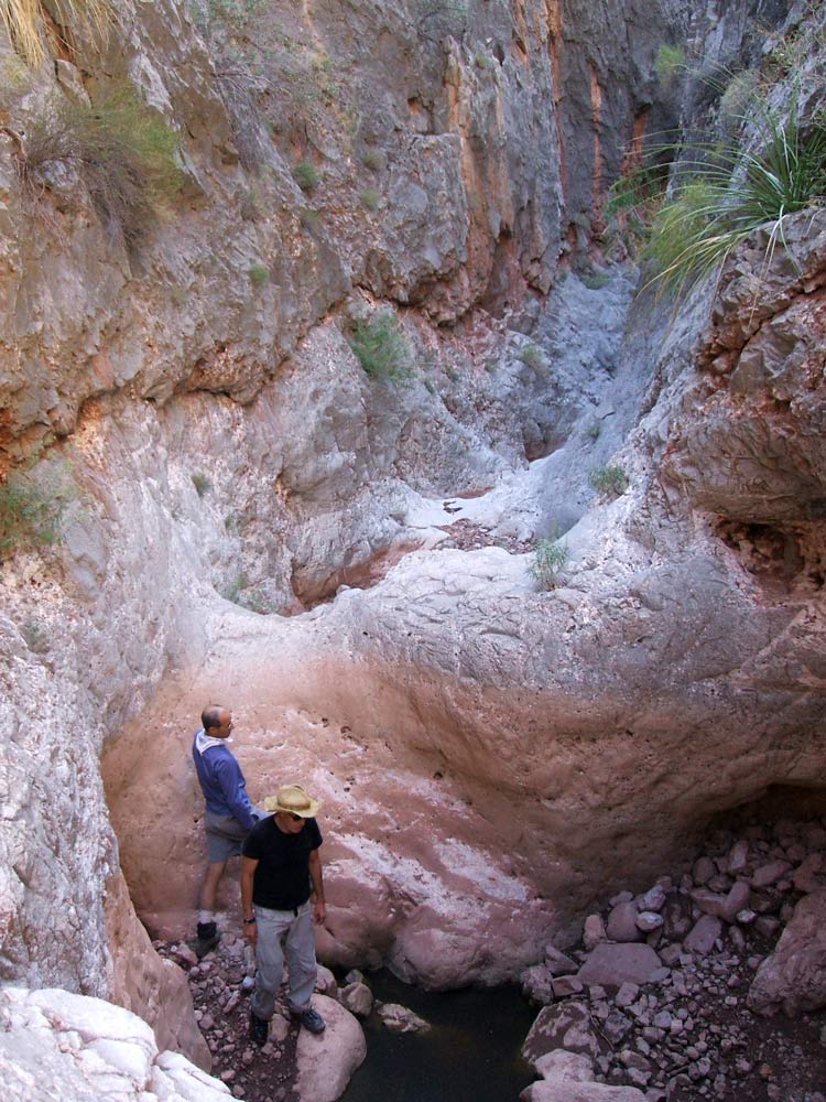
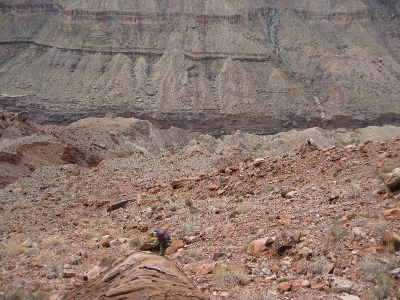
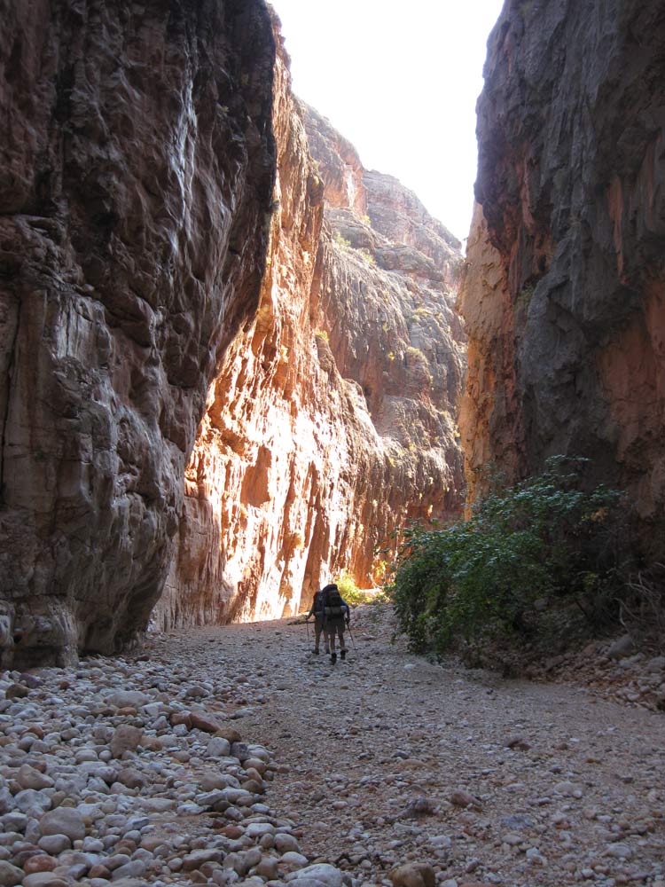
After getting through the chute, we continued down the steep ravine until we could climb out on the right (west) side and onto the top of the infamous talus slope. The slope is a loose jumble of talus that Steck describes as "at or above the angle of repose." After descending about 800 vertical feet of this talus, we crossed over the ravine (that is actually the lower part of the chute) to an unusual dry lake bed. Looking back at the talus slope shows how
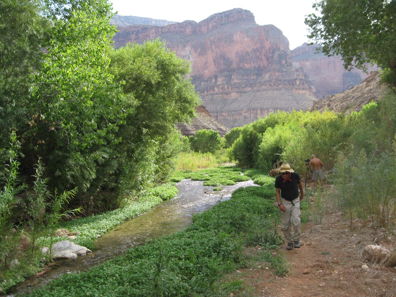
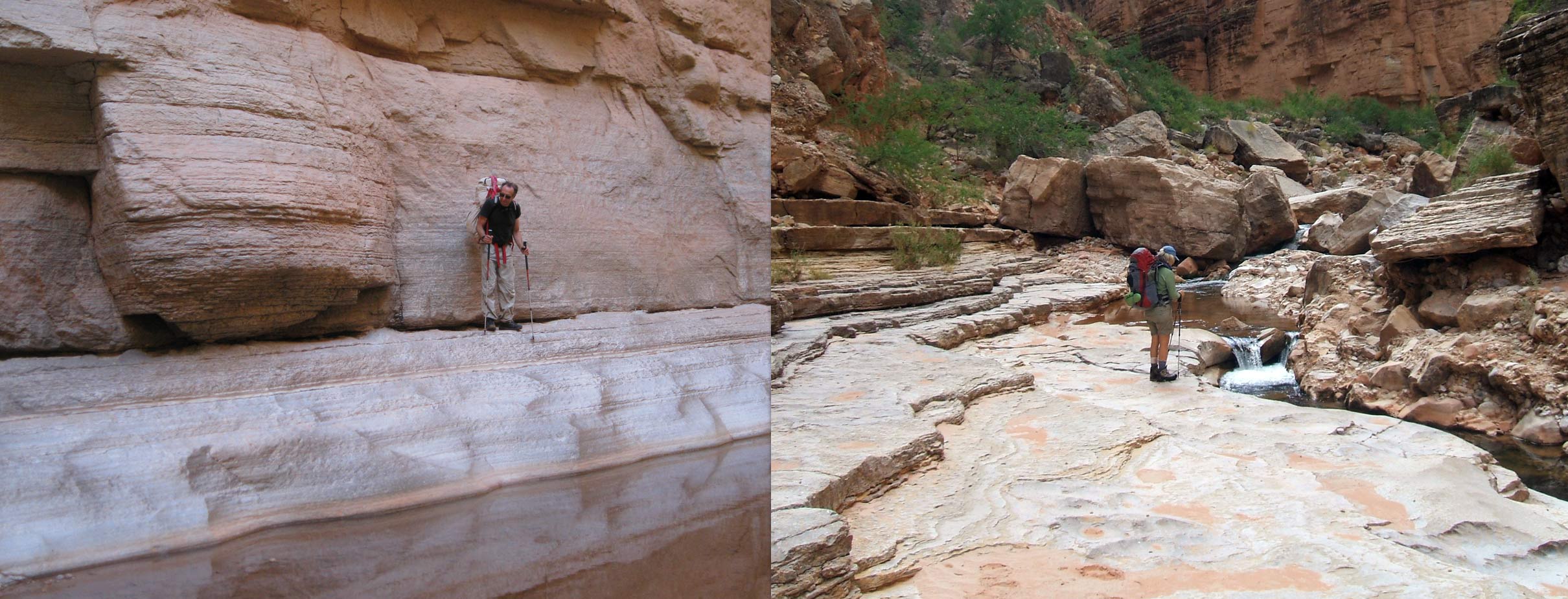
steep it really is. Once across the lake bed, a steep 500-foot drop brought us to lush Deer Creek. Deer Creek seemed a bit crowded to us, but we eventually found an acceptable campsite.
October 13, 2009.
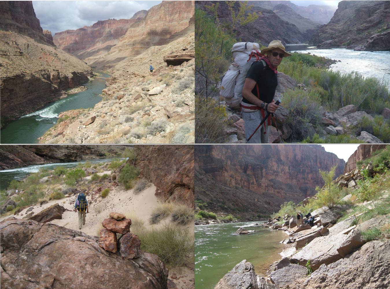
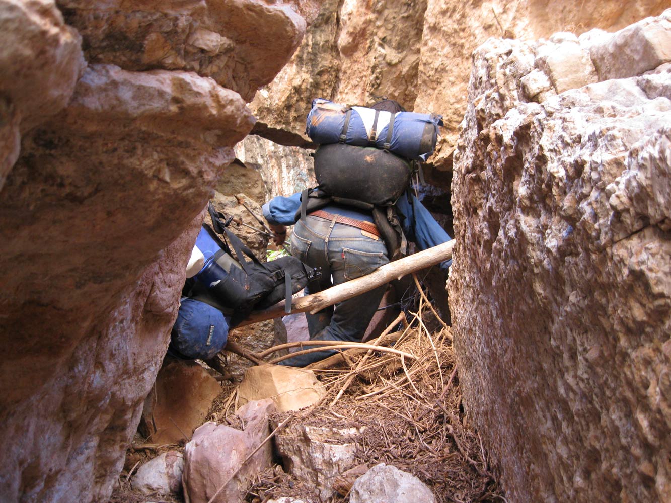
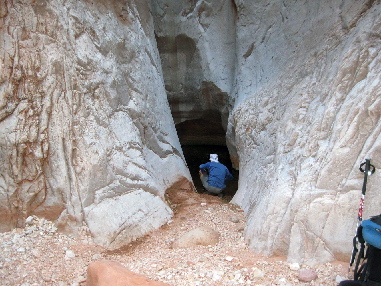
Our goal for today was a beach a little was before Kanab Creek. We first walked down to the "patio", then through the narrows and down to the falls (see photos). We would follow the river bank towards Kanab Creek, which was about 8 miles away. It is somewhat arduous because of all the talus blocks, tammies, and catclaw
(see photos). One surprise was the really pretty oasis of Siesta Spring (named by Steck). We came to a nice campsite about two miles before Kanab, and we decided to stop there for the night.
October 14, 2009. Everyone seemed to glad that we were almost done with the slog along the river and would soon be getting to Kanab Creek. We reached the mouth of Kanab in less than two hours, and then started looking for our cache that had been placed there a couple of months before. With the help of a photo taken by those who placed the cache, we found it in no time. We spent almost an hour sorting through the cache and distributing all the goodies. As soon as we turned into Kanab Creek, we were delighted to see a group of
Bighorn Sheep scampering up the cliff to our right.
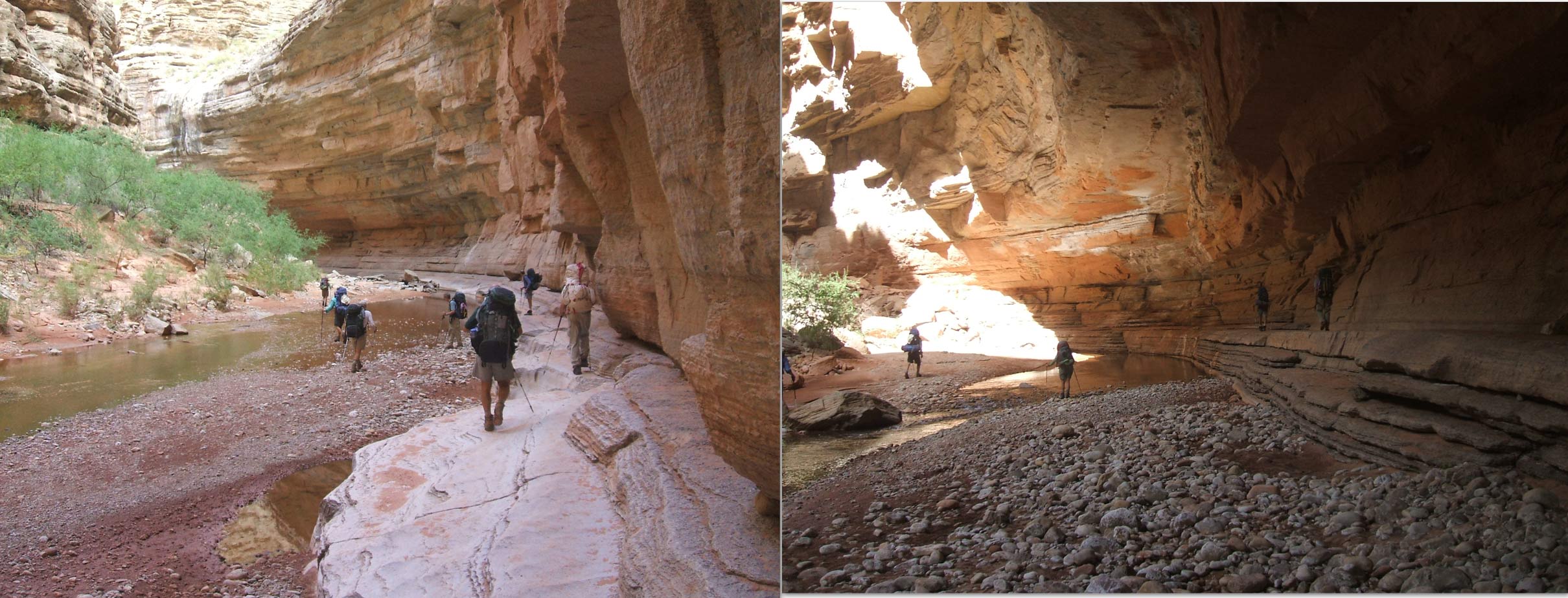
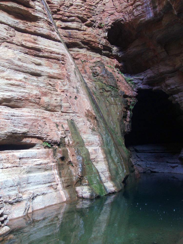
The hike up Kanab Creek was beautiful (more Kanab Creek photos). After lunch we came to the side canyon that contains The Slide of Susurrus, aka Whispering Falls. After a short scramble up this side canyon we came to the beautiful falls and pool. We stopped for the day a mile or two farther up Kanab Canyon.
October 15, 2009. We weren't really sure how far we would get today, but we were hoping to get a little ways past the last reliable water in Kanab. Not long after getting going in the morning, we came to the most difficult section of Kanab Creek, where there are
ginormous rocks which must be climbed over and around. It was pretty slow going. When we got to Showerbath Spring, named by Powell, we stopped for lunch and a shower break. We continued on, looking for "pencil spring", but never found it (I have found it twice on previous hikes). Kanab Creek was now mostly dry, and we knew we were close to the last reliable water in Kanab until after Jumpup. But we didn't want to carry water any farther than necessary, so we took a bit of a gamble. Eventually we came to some slow-moving water, full of algae, and we figured we had better not press our luck. So we collected more than a gallon each, took a long break, then continued on for another mile or so, where we stopped for the night (dry camp).
October 16, 2009. It was a fairly short walk this morning to Jumpup Creek. We turned up Jumpup and started looking for a large pothole that I have used previously. It is on the left (creek right) about 1-1/2 miles from Kanab. It is
hidden in a cleft in the Redwall and is not obvious. But it was full of water, although not the cleanest. We each collected a liter or two before continuing on to Indian Hollow. After 15 or 20 minutes into Indian Hollow, we came to Steck's Obstacle Pool. It was dry, but was still an obstacle. Some of us climbed up and around the pool via a narrow ledge. The ledge was so narrow in one place that nobody wanted to do it carrying their pack. However there is a convenient place to lower packs just before the narrow section. In approximately 30 minutes past the Obstacle Pool, we came to Ojojojo Canyon (Steck's name) where we collected a little more water. And in another 20 minutes we came to Steck's "Over Your Head" pool, a very large pothole in the middle of the stream bed.
This time the water was pretty skanky and nobody wanted to take a swim. We wanted to continue up Indian Hollow to the last water before we quit for the day. As we hiked up past the Obstacle Pool, the water was intermittent, and the distances between water continued to increase. We took somewhat of a gamble and continued on past where I was comfortable, but we did find water and a decent campsite in the last narrows of Indian Hollow. We stopped there for the night.
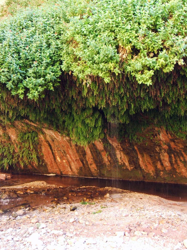
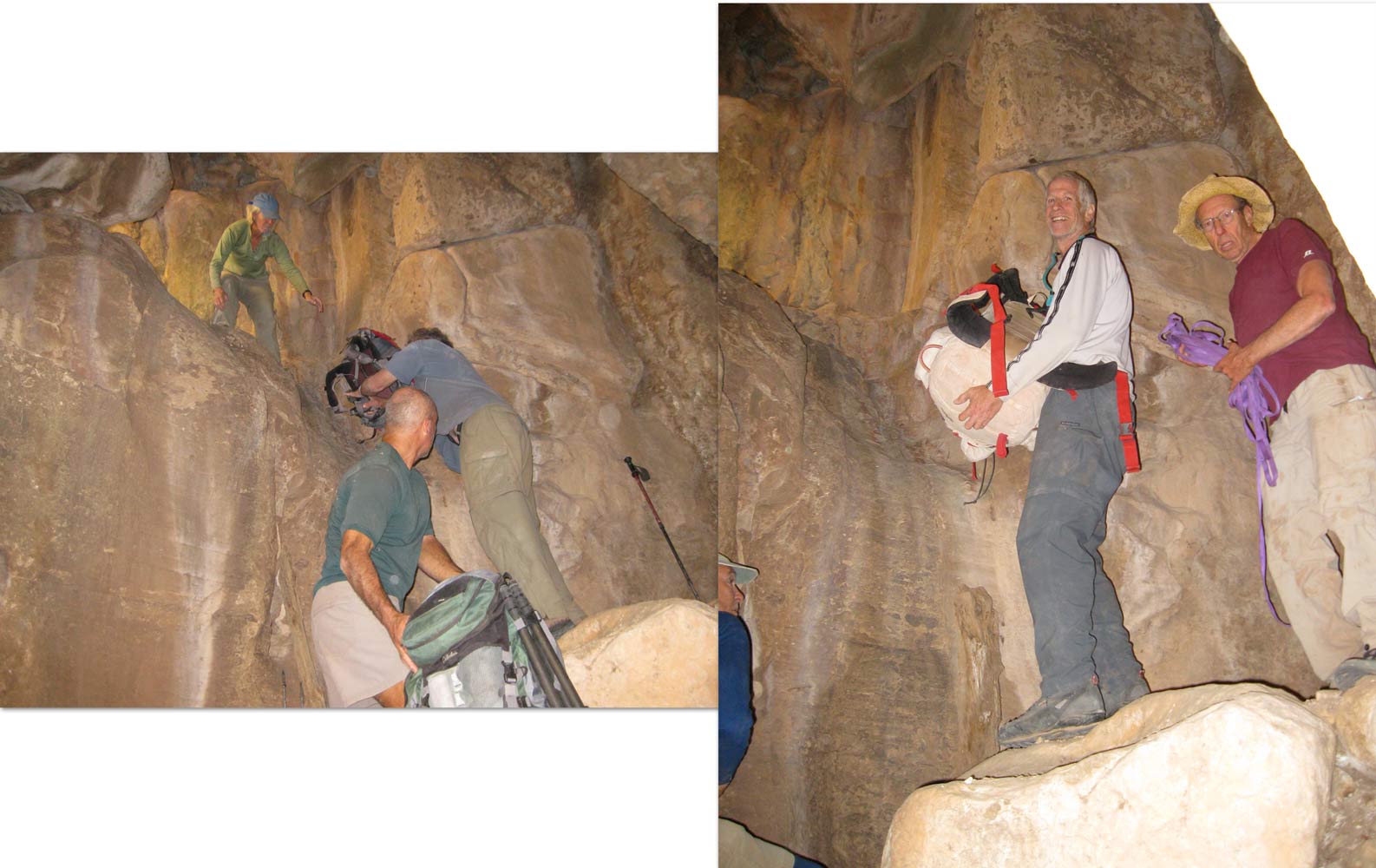
October 17, 2009. Today is our last day, but it is not expected to be easy. We would not find water until reaching the base of the Coconino, where the water is only scattered drips. The canyon opens up, allowing for easy hiking, until we came to the thick vegetation about half a mile before the Coconino. We all had plenty of water when we got to the Coconino, so we didn't waste time collecting drips . We located the Coconino chimney on the left side of the drainage, and began the long, tiresome chore of hauling up packs. After the chimney, we had to contour to the right, over loose rocks, to another climbing spot, with more
pack hauling. From the top of the Coconino, it was a good two hours of relatively level hiking to get back to our cars at Indian Hollow Campground.
|