|
Royal Arch Loop via Point Huitzil Route
NOTE: Click on Hypertext to view photos.
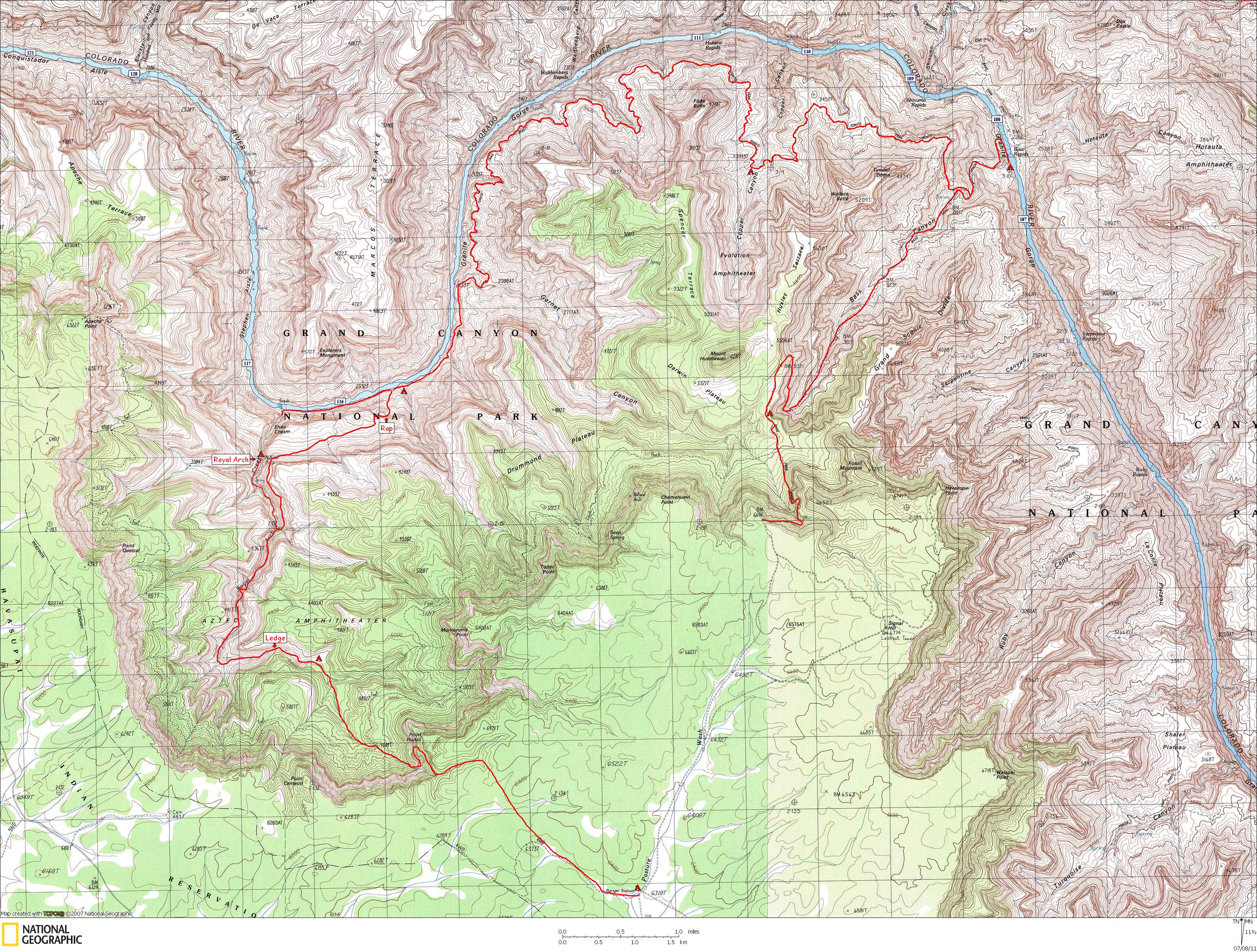
Click here to view topo map.
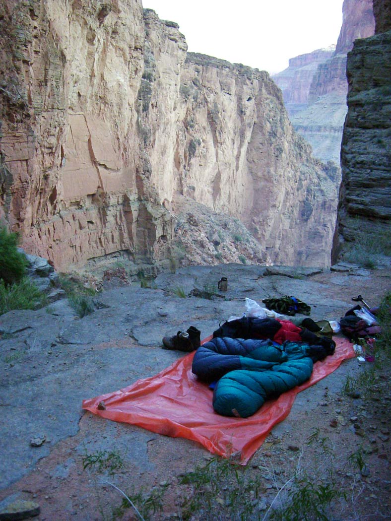
Our campsites are indicated by a red tent.
Preface: I have done this loop once before this (April 2000), and one time since this (October 2005). This is one of my favorite Grand Canyon backpacks. It has everything: beautiful and well-watered Supai canyons, spectacular views, 2 or 3 nights on beautiful river beaches, great side-canyon hiking, and an arch (technically a bridge) to boot. As of this writing (July 2011) I plan to do this loop again in October.
Trip members included
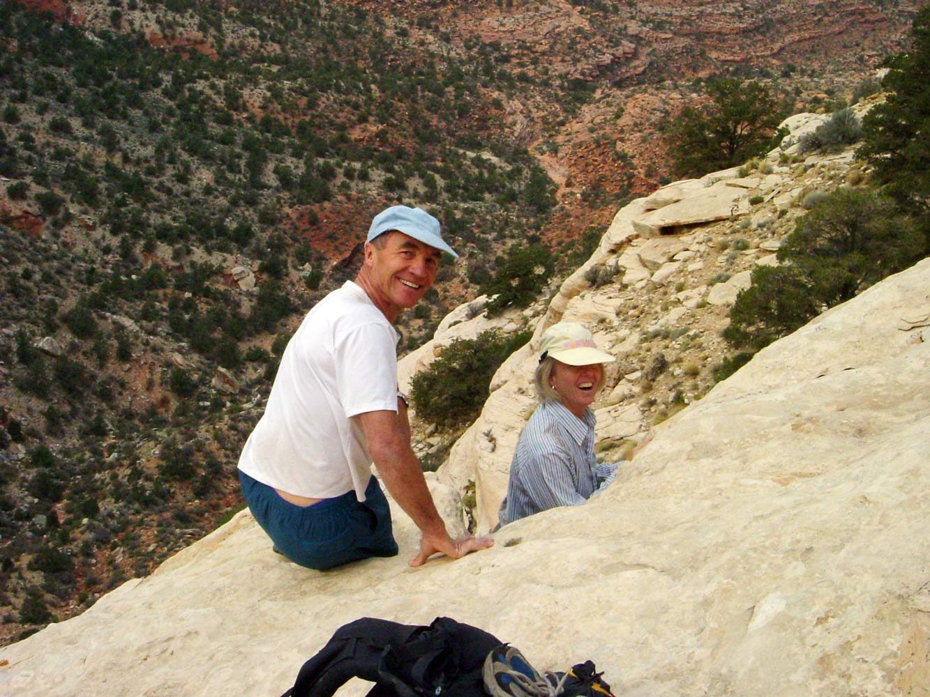
Fred, Leslie, Bert, Jim, Manfred, Hansjorg, Marcey, and me.
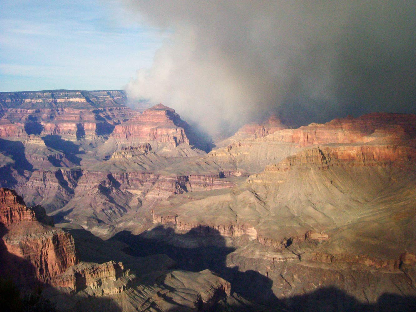
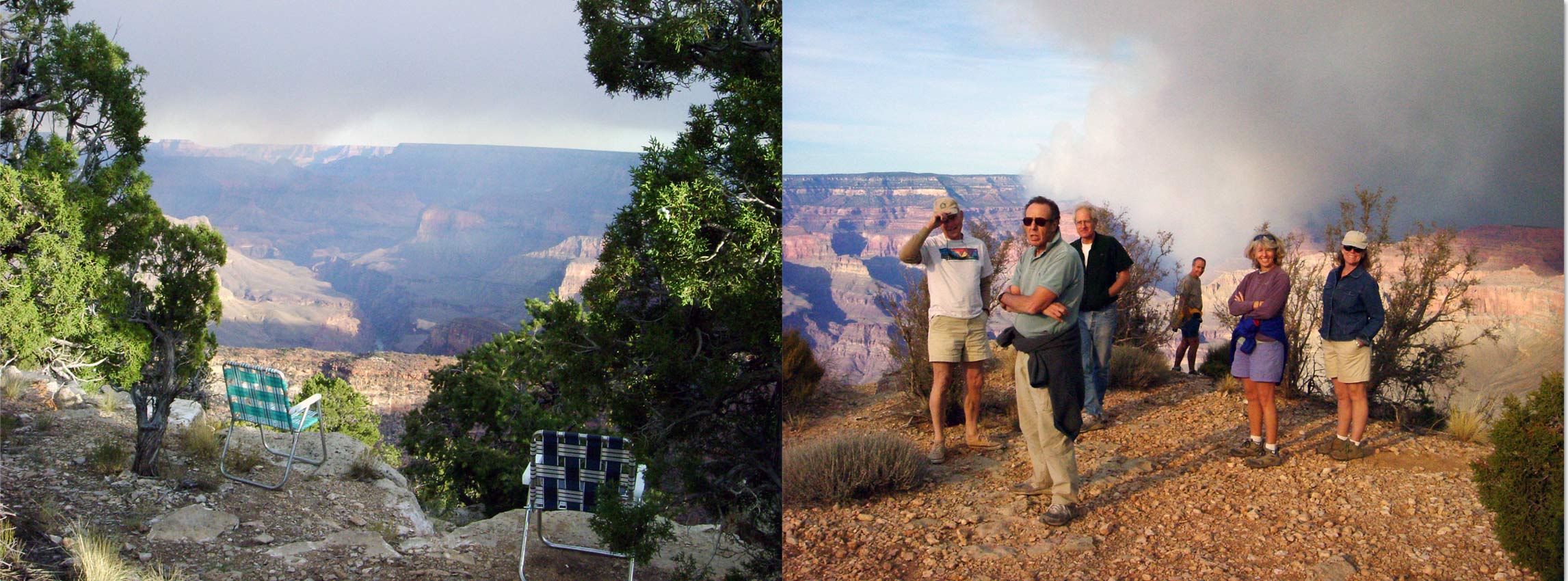
October 25 (Saturday). Our group met at the Grand Canyon airport to pick up four of us who were flying in. From there we drove out towards South Bass. We decided to camp at Havasupai Point instead of Pasture Wash because most of us had never been there and we wanted to while away the afternoon enjoying the spectacular views. Although the road out to Havasupai Point is pretty rough in places, the camping is awesome. Marcey had prepared a delicious dinner for all of us, as usual.
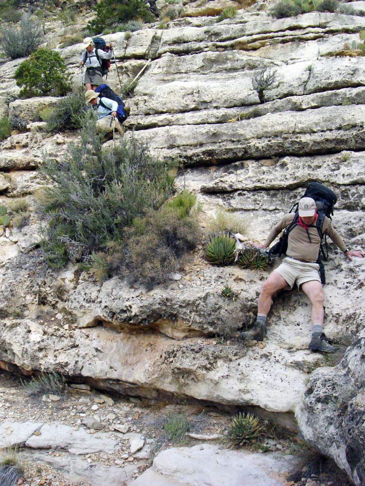
October 26. With an early start, we headed for South Bass Trailhead (where our hike will end) to drop off two cars, then drove back to Pasture Wash Ranger Station (where our hike will begin). We parked our cars behind the old ranger station buildings and headed NW into the woods. There is an abandoned road that starts only a hundred yards or so south of the ranger station that also heads NW. I once followed this road, which works fine. But by going directly NW from the back of the ranger station you can pick up the old telephone line that once connected to Supai Village. This line is now mostly lying on the ground. It is easy to follow and generally heads in the right direction, at least for a while. I have always eventually lost sight of the telephone line, but continued on in the general NW direction. The goal is the connect with the shallow drainage that comes in from the NE and soon drops into the Canyon at an impassible pouroff, which is located about half a mile S of Point Huitzil. Once we reached the drainage we headed down the drainage until reaching the pouroff.
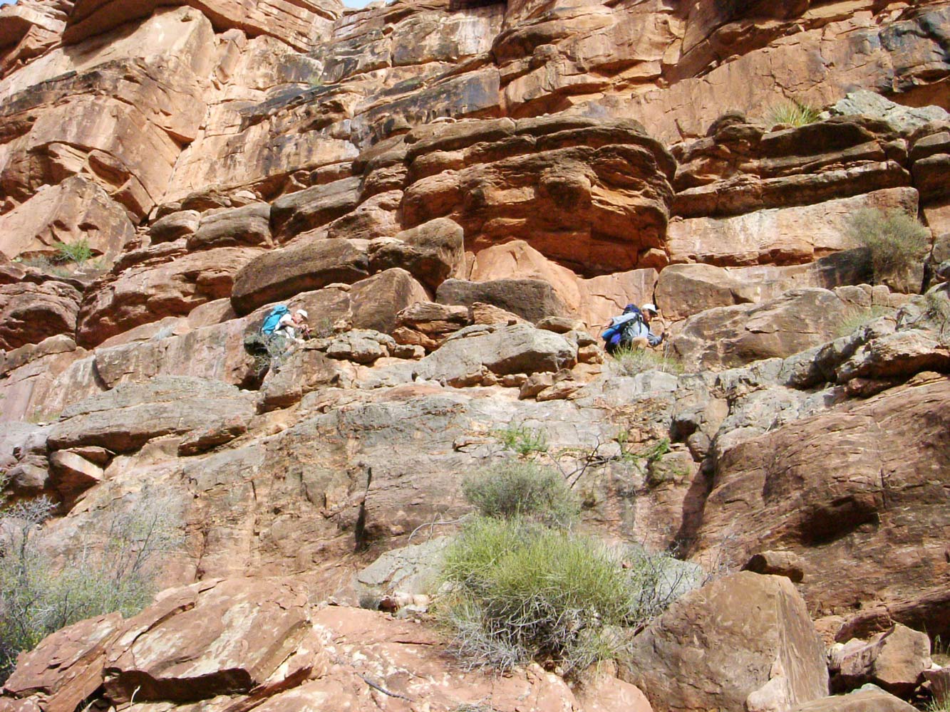
Now the hard part began. From the pouroff, turn N and follow the rim for a short while, looking for what has recently become a
distinct trail heading steeply down. The first time I tried this route (April 2000) I had only the description in Harvey Butchart's book Grand Canyon Treks III. I spent over an hour searching for a way down, looking for the "yellow Toroweap towers" that Harvey describes. It is much easier now that a trail has developed. Although it is easier, the route still presents plenty of challenges. There are some steep ledges in the Toroweap where Bert lost his footing and slipped, dislocating his shoulder. Hansjorg (who has had some medical training) tried to relocate Bert's shoulder, but nothing worked. It was extremely painful. Our only option was to turn around. We divided up much of Bert's pack weight and we all hiked back to the cars at Pasture Wash. Bert and Hansjorg took my Jeep Cherokee and headed back to Tusayan. Hansjorg, who is a pilot and had flown his jet to Tusayan airport the day before, flew Bert to Aspen, then returned to Tusayan and spent the night in a motel. Hansjorg assured us that he would be back at Pasture Wash within an hour after sunrise the next morning. Although we were a day behind schedule, we still had enough time to complete the route if we scrapped our scheduled layover day.
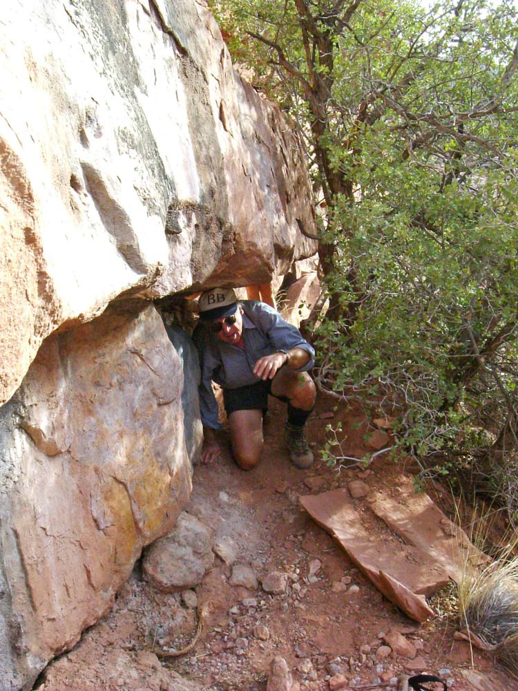
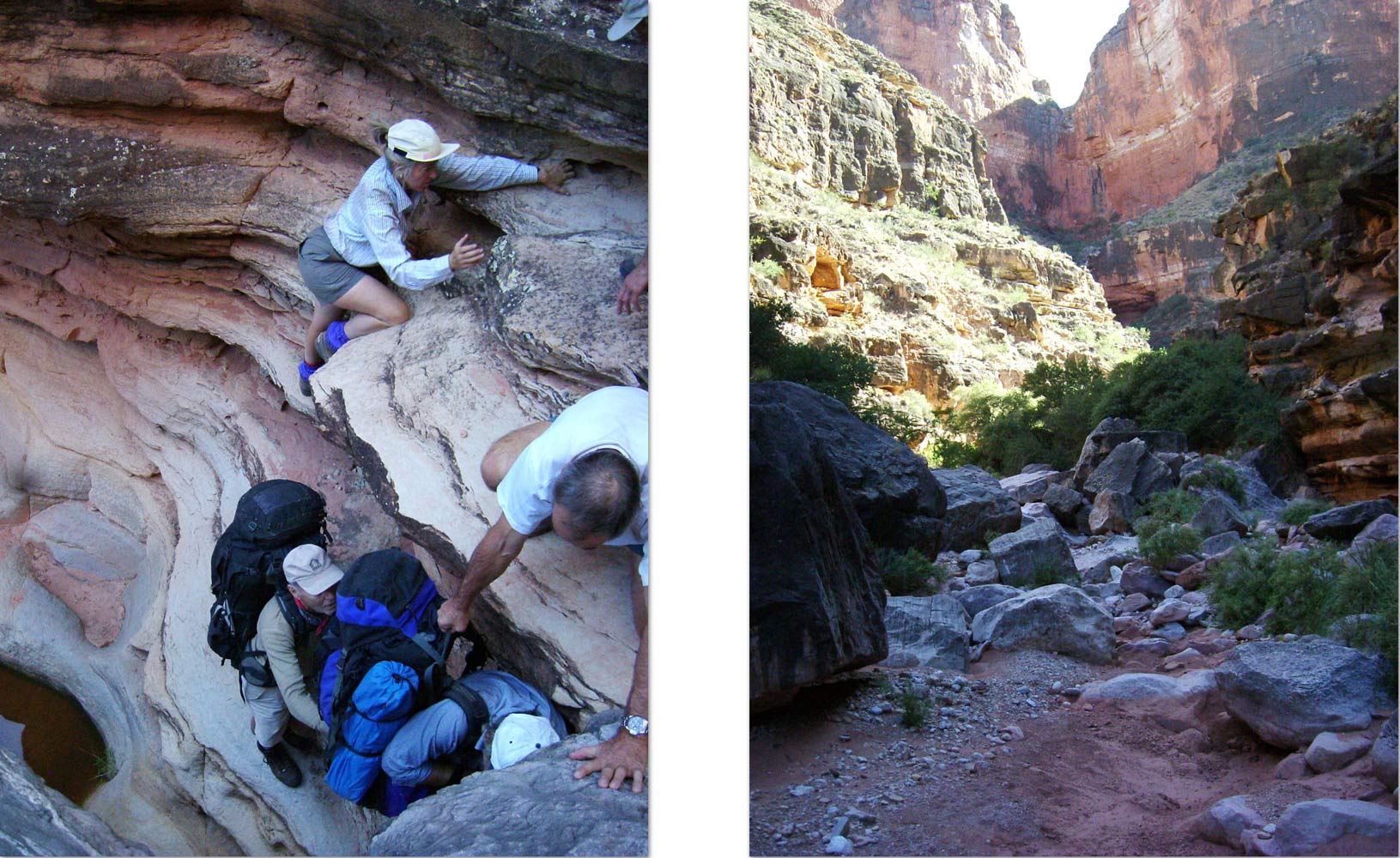
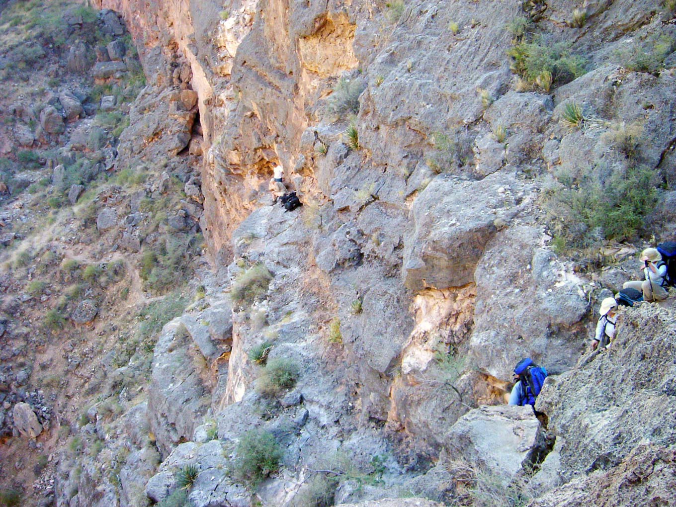
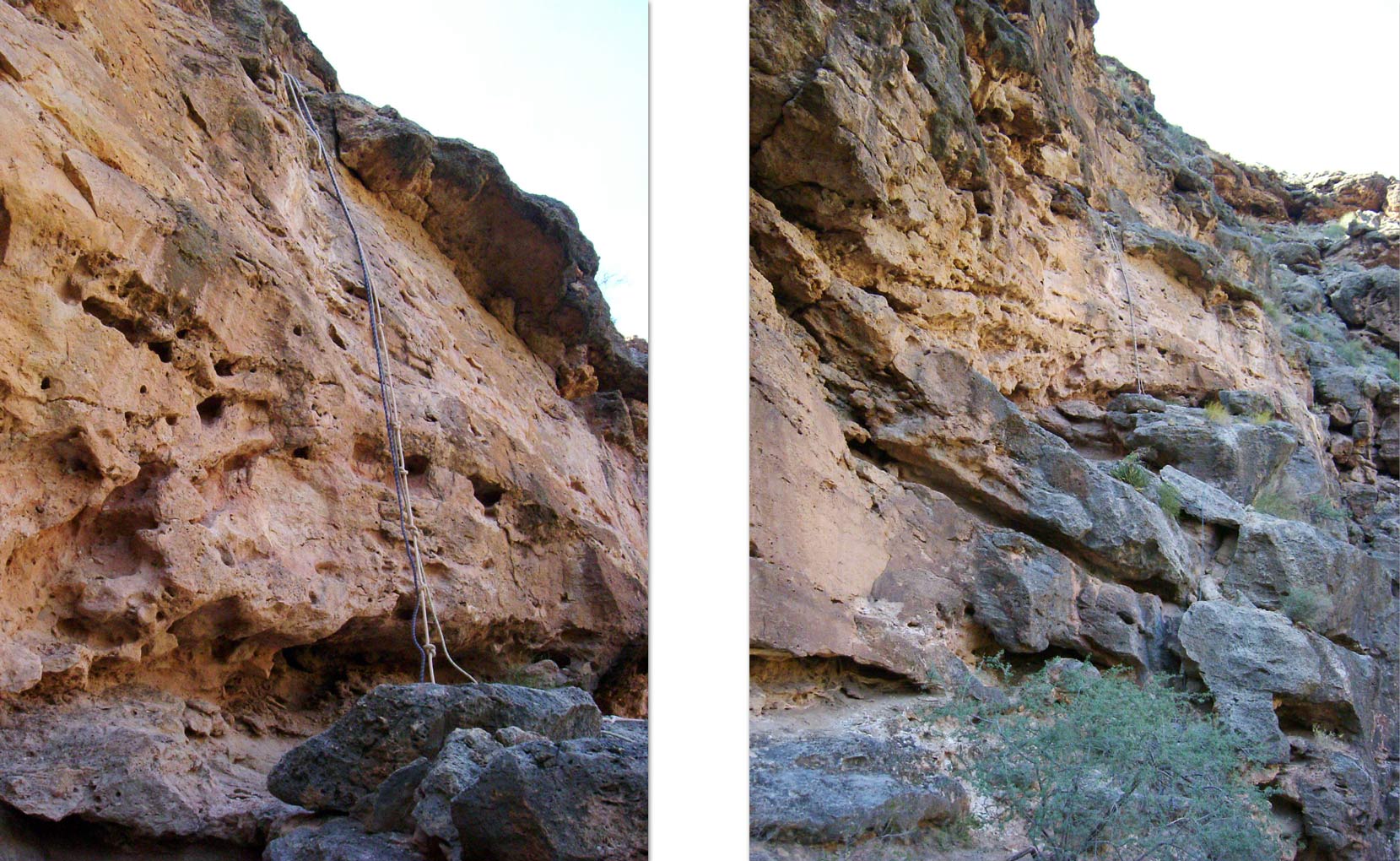
October 27. Hansjorg showed up before we had even finished our breakfast. We were soon back on the Point Huitzil route. There is one 6 or 8 foot drop in the Toroweap, just above the Coconino, where we had to pass packs. A pile of rocks had been built at the bottom that proved useful. After that, we were on top of the Coconino. The top of the Coconino here is a flat bench that gently slopes to the edge and a precipitous drop of perhaps a hundred feet. You would never expect the route to go this way. But if you walk out towards the edge, you will find a hole that you can safely climb through. This extremely improbable route leads to a crack that has a "ladder" made from a pine tree trunk with only stubby branches remaining. The branches make great steps, but it is a bit of a reach to get to the top step. People have refered to this ladder as Anasazi, but it has been shown that the branches were cut off using a metal axe or hatchet, which was not available to the Anasazi. Because rock art is found all around this passage, this route was surely used by Native Americans, but the ladder was probably built by early miners, perhaps W. W. Bass.
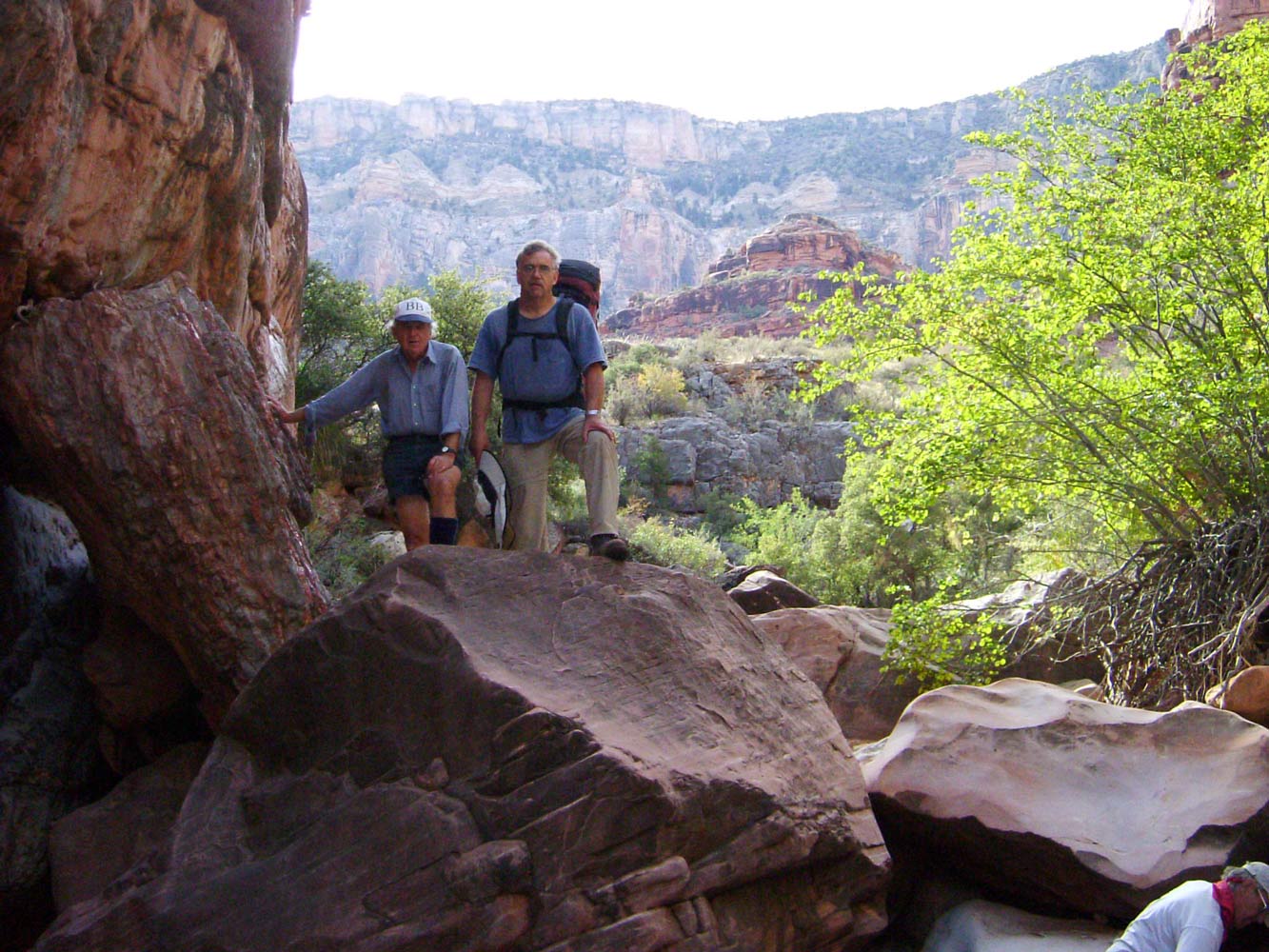
The hole and crack take you through the upper layers of Coconino, but there is still one challenge left in the Coconino. After you get through the crack, the route takes you to the right, then doubles back again. You end up at a steep, shallow Coconino gully. There are some Moki steps here, but they are eroded beyond usefulness. It can be a little unnerving to descend with your pack on, but we used webbing to make a handline. Once through the Coconino, there are some steep slopes of Hermit Shale to negotiate before you reach the bottom of the drainage. Once in the drainage, just head downstream.
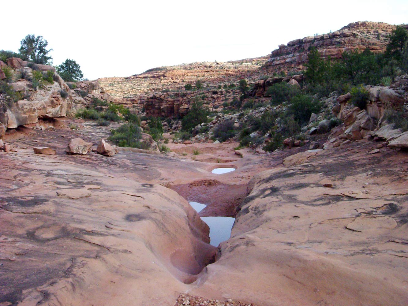
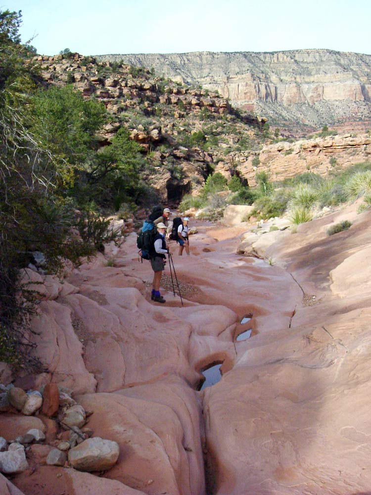
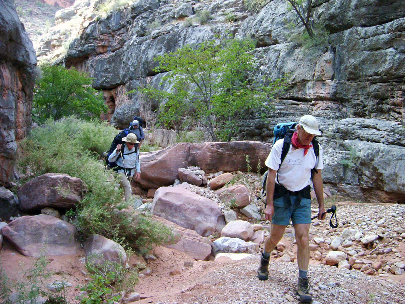
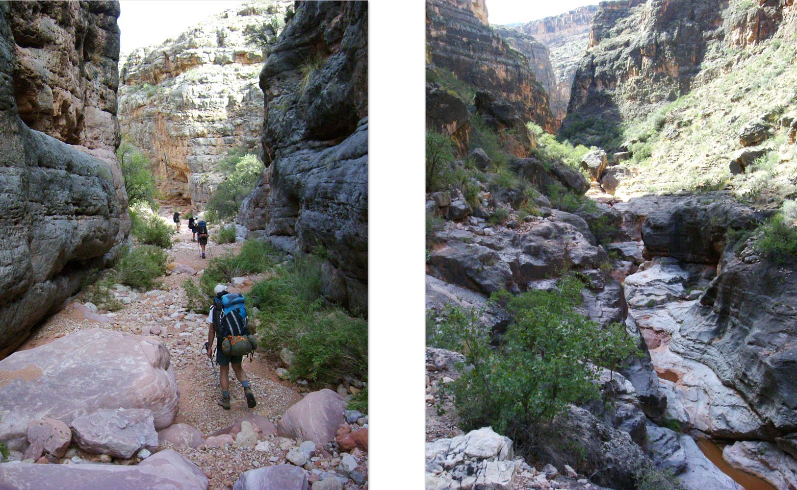
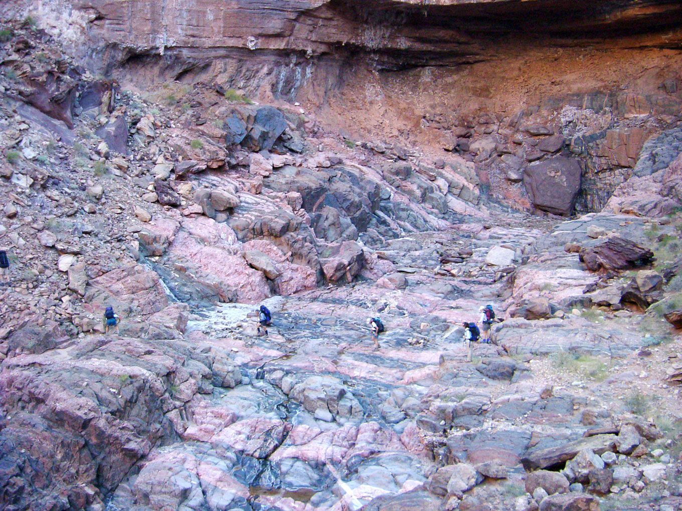
The canyon begins to open up and soon we started running into water. I've run into water every time I've been here (spring and fall), but I may have just been lucky. There are many great places to camp along this stretch of canyon. We stopped at the first campsite we came to that was large enough for all of us.
October 28. Although I love Supai Canyons, I was looking forward to getting to Royal Arch, our destination for the day. We ran into more potholes as we continued downstream. We soon came to the pouroff with the infamous ledge. When I first did this route, I was pretty unnerved by the ledge. It is on stream left and requires one to sidestep along a very narrow ledge, heals hanging over the edge. Although there are plenty of good handholds, the exposure is intense. And there is a protruding boulder near the far end of the ledge that you have to scoot around, with your butt hanging way over the precipice. But a new bypass has since been discovered on stream right that makes this pouroff relatively easy and safe. There is now a large cairn pointing the way. You have to first climb up a little ways to a relatively wide ledge, then follow the ledge downstream for a hundred yards or more before starting down. There is a tight place along the ledge that is awkward to get through. The descent to the bottom of the drainage involves zigzagging from one ledge to another, and is steep enough that everyone was being especially cautious.
Not too far beyond the pouroff the canyon makes an abrupt 90 degree turn to the north, and soon after that you reach the top of the
Redwall. The hiking is still fairly easy here. The canyon begins to narrow and the friendly nature of the Supai is replaced by the more menacing appearance of Redwall narrows.
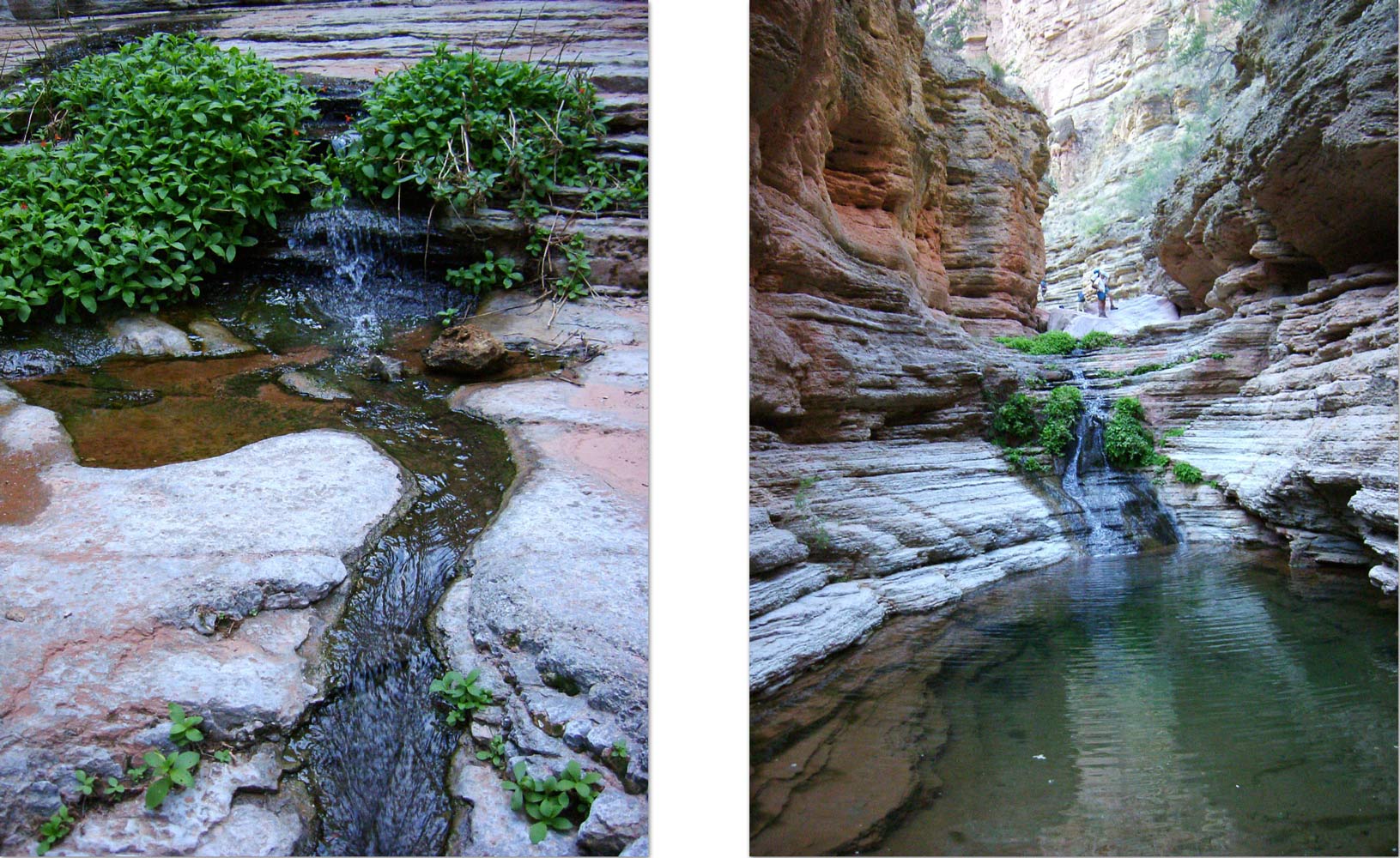
We came to several very tall cairns built in the creekbed marking the route out of the canyon and over to the rappel point and the descent route to the river. From here the canyon gets more rugged and the hiking is harder, but
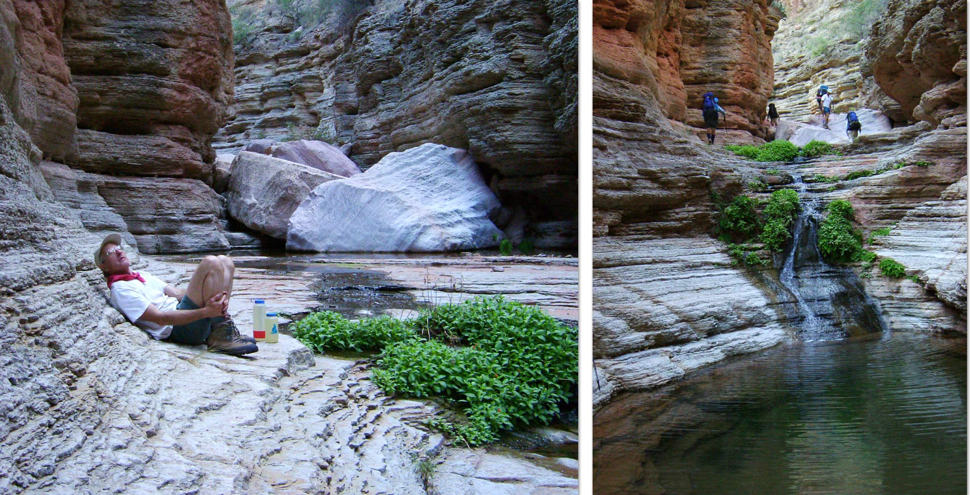
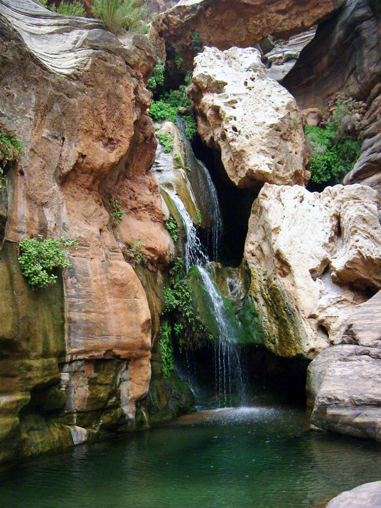
springs appear in the Muav and turn the canyon into a glorious paradise of clear pools surrounded by ferns and Monkey Flowers.
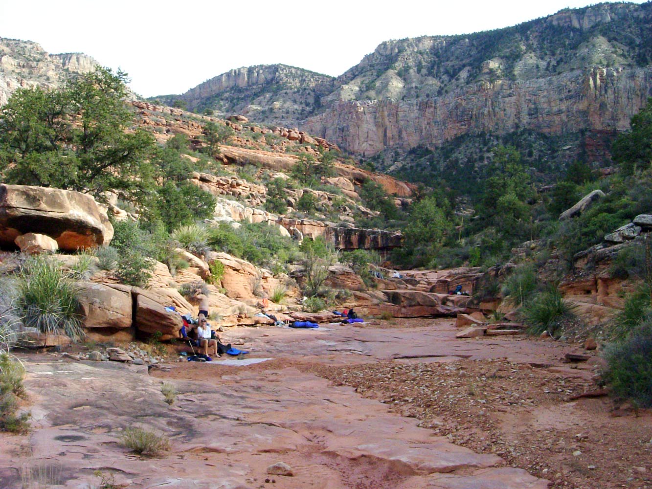
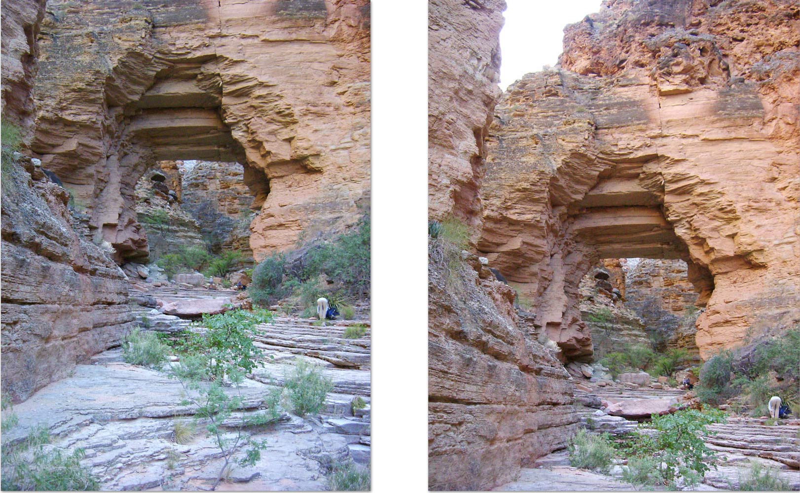
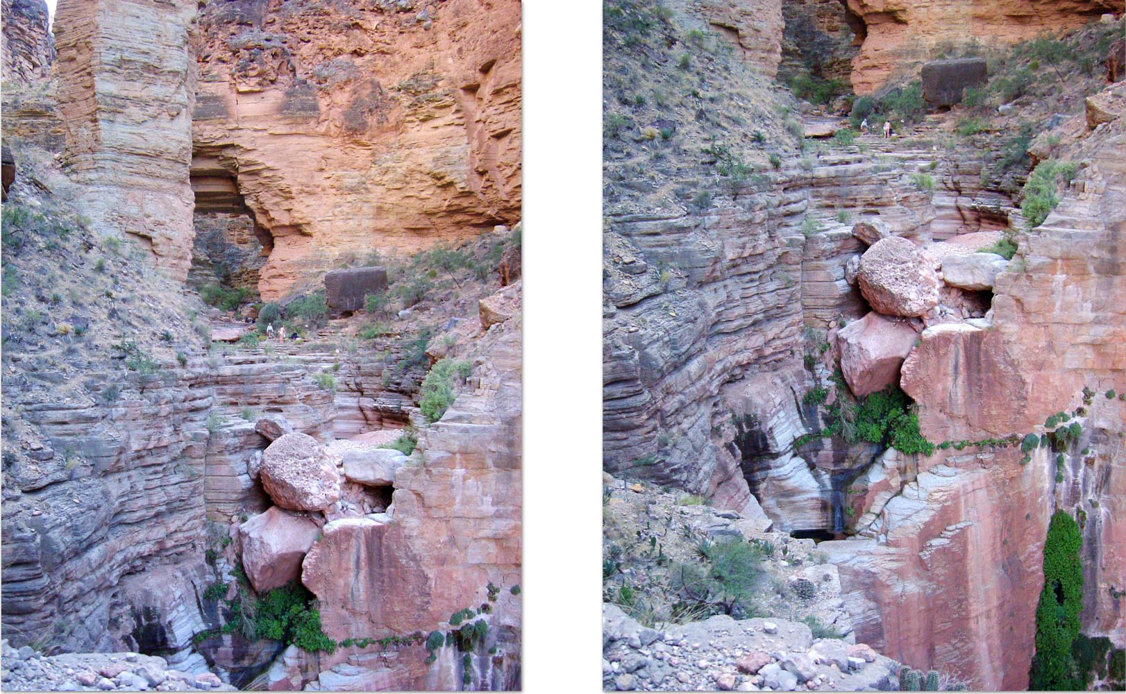
We continued down the canyon making an effort to bypass the numerous pools without getting our boots wet. After half a mile or so, Royal Arch appeared as we rounded a bend. Royal Arch is technically a bridge because is spans water (Royal Arch Creek). Royal Arch sits at the top of a huge pouroff which ends up, near the river, at Elves Chasm. You can walk out on a trail for a little ways and get a look back at Royal Arch and the huge pouroff. Although most of us camped beneath the arch, I opted for a little platform near the edge of the pouroff with a great views.
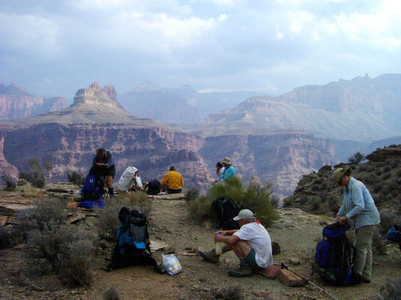
October 29. Our goal for the day was Toltec Beach, so-called because the drainage that formed the beach comes down from Toltec Point. First we had to backtrack a half mile or so to the point where you can climb out of the drainage on creek right to access a bench that contours above Royal Arch and around the corner of Redwall and onto a large, flat, grassy area that slopes gently toward the river. We stopped for a break high above Royal Arch, but before you round the corner onto the flats. This section has received so much use in the past decade that a pretty good trail has developed. This trail takes you diagonally across the flats, then down to the lowest point above the Tapeats. After scrambling down a crack, you come to a ledge that takes you to the rappel point. The Tapeats in this area is covered with Travertine. The
rap site can get crowded if you have a large group, and because of the esposure, it is best that only 2 or 3 people be there at once. The rap is only about 20 feet, and there is a sturdy place to attach a rope. There has always been at least two ropes already in place. I have never used the existing ropes without a belay, and that is what we did this time. Some people tried to climb down the existing ropes with additional webbing used for a secure belay. From the bottom of the rap, it is only about 600 vertical feet down to Toltec Beach, and a pretty good trail leads dirctly there.
After settling in at Toltec Beach, we hiked down river about a mile to Elves Chasm, a must-see for all river trips. It is gorgeous.
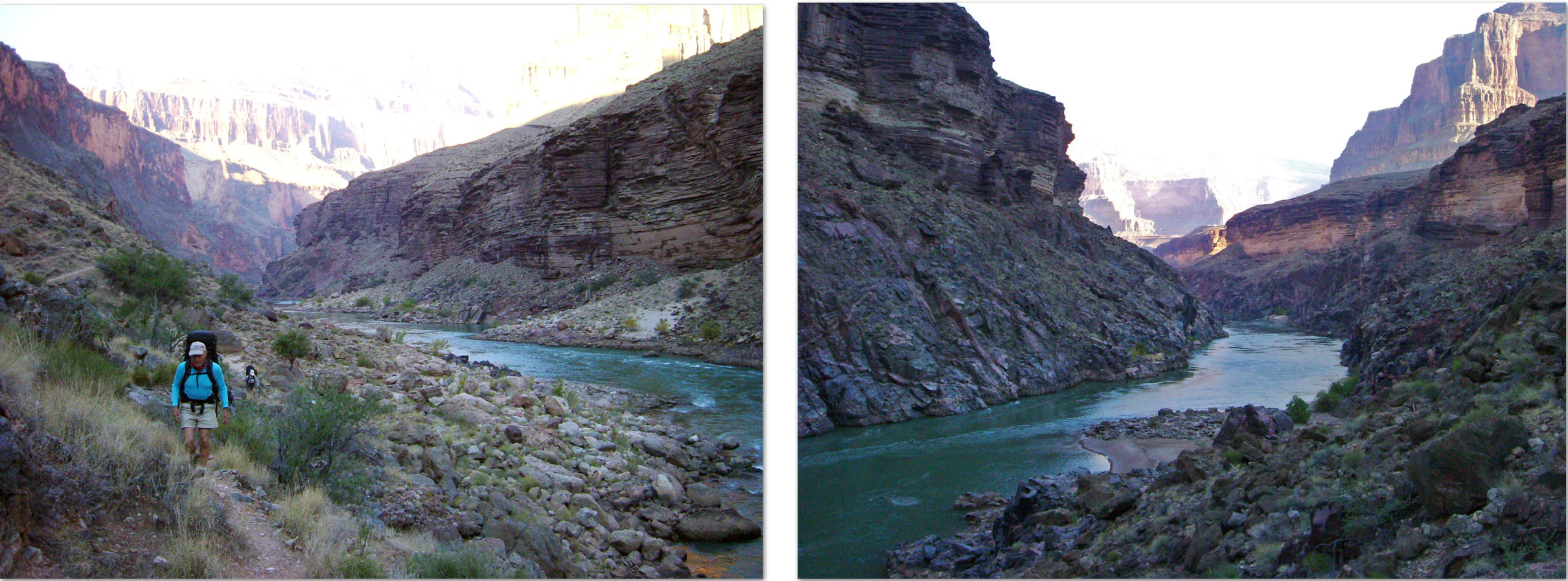
October 30. We got another early start, heading for Copper Canyon, our destination for the day. The
Canyon was beautiful in the morning light. Although maps do not show a trail here, this section has received enough traffic that a pretty good trail has developed. The trail gradually climbs as it heads up-canyon, and crosses an unnamed side canyon that comes down from Drummond Plateau. I love the patterns made by the
Zoroaster granite intrusions that are exposed in the canyon bottom.
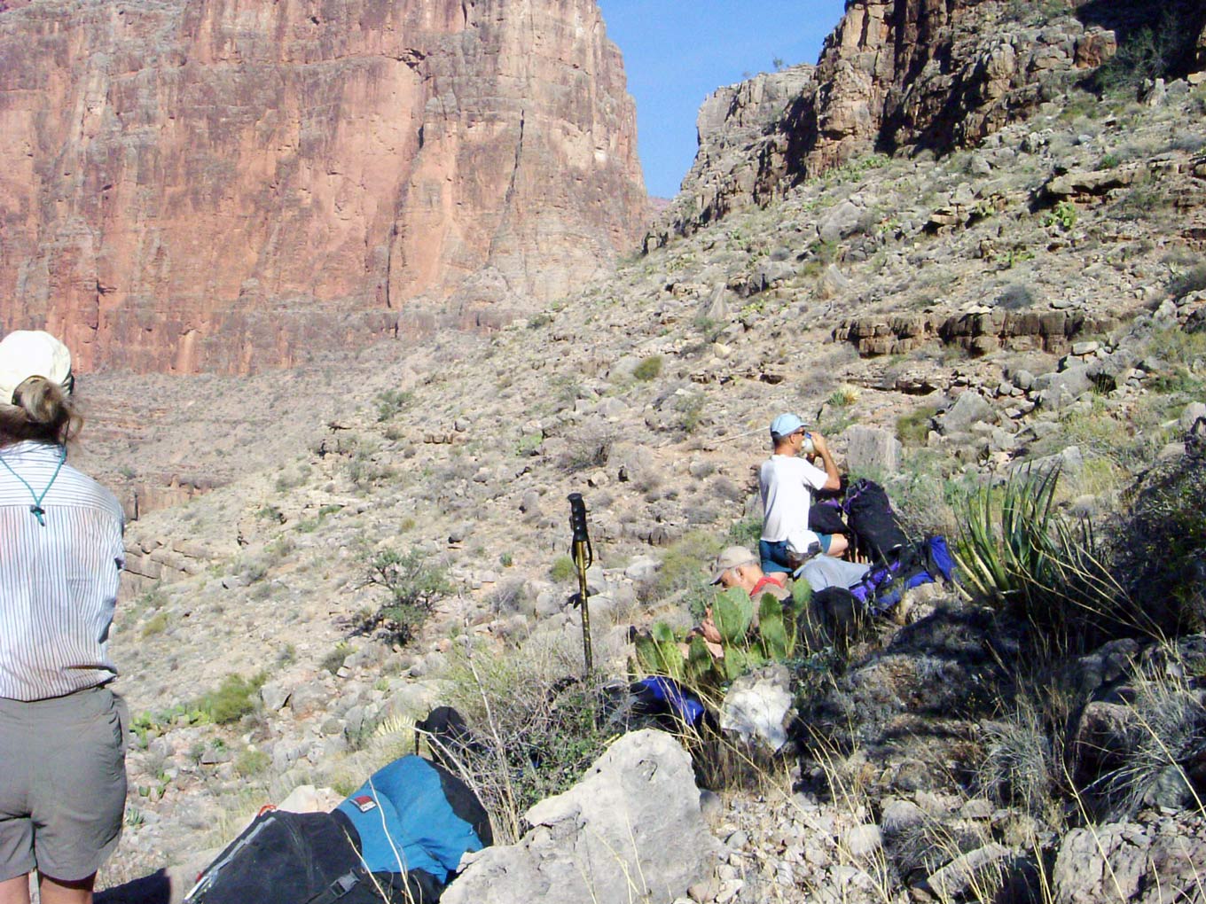
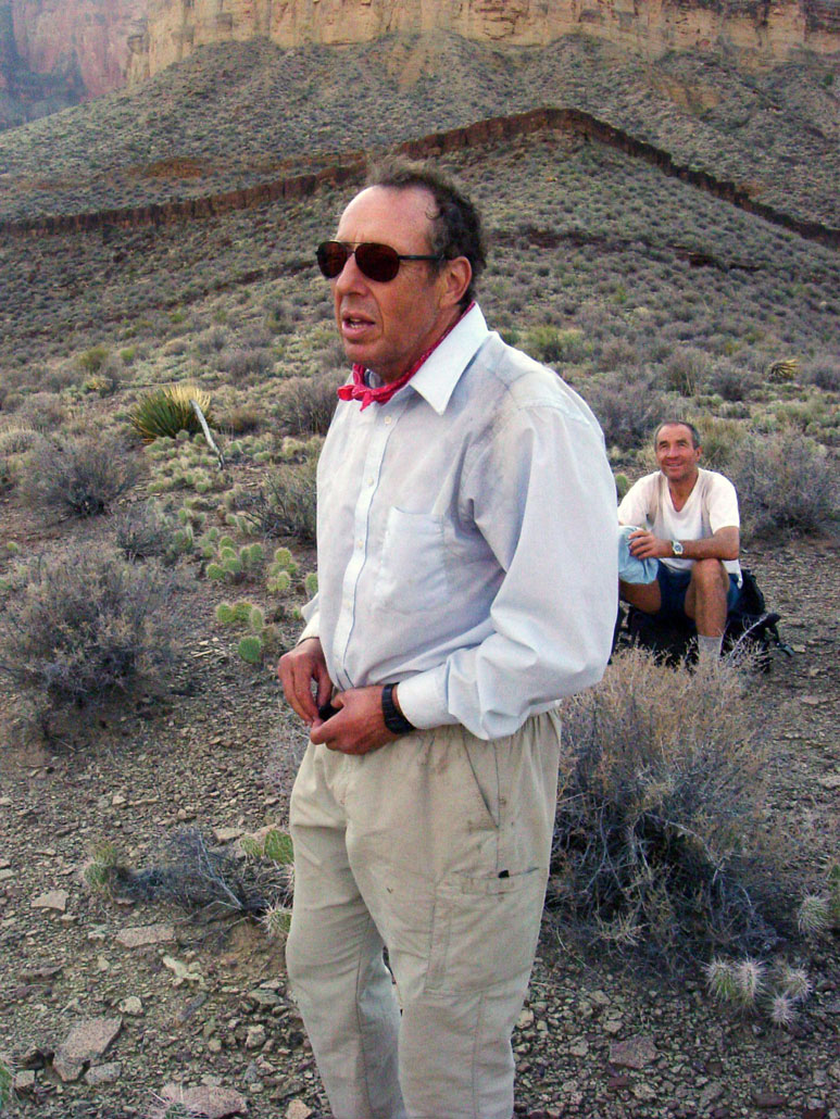
We had just passed Garnet Canyon, where the Tonto Trail begins, when we spotted someone in the far distance who was hiking toward us. It looked like the person had a long-sleved white shirt on, just like Bert usually wore. It couldn't possibly be Bert, could it? After a few more minutes of hiking it was confirmed that, indeed, it was Bert! We were all delighted and very surprised to see him. Apparently after being dropped of in Aspen by Hansjorg, he visited his doctor who repositioned his shoulder that afternoon. Early the next morning, a friend of Bert's from Aspen, who was a pilot, flew him back to Tusayan. Bert somehow arranged for someone to drive him out to the trailhead late that same morning. He was on the trail by early afternoon, and camped that night at Bass Beach. The next day he hiked over to Copper and spent a second night there. And today we ran into him as he was hiking towards Garnet. Once he got his shoulder popped back into place, it was still sore but not debilitating.
We had been a little concerned about finding water at Copper, but Bert confirmed that he found plenty not far from the trail. After a couple of more rest breaks, we found a nice place to camp near where the Tonto Trail crosses Copper Canyon.
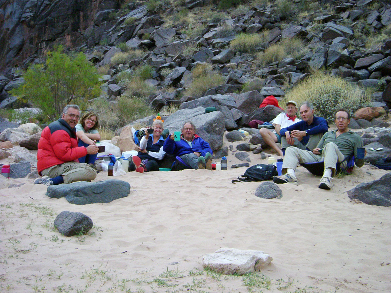
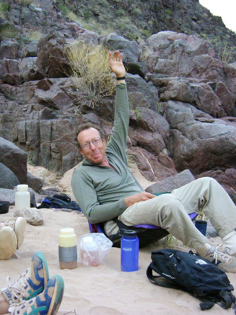
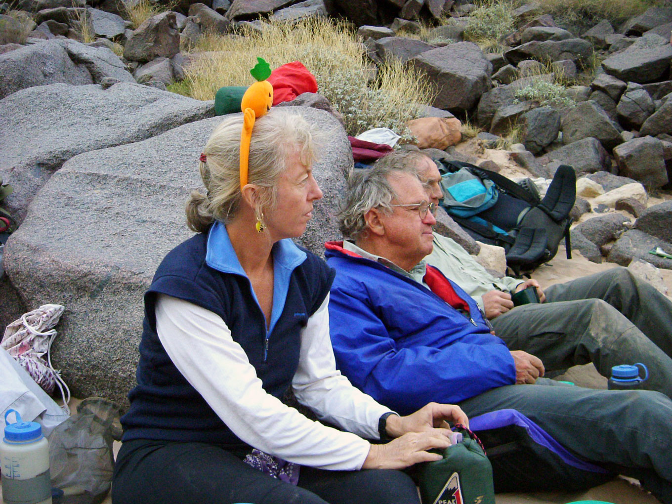
October 31. Today would be a pretty short day -- mostly "flat" Tonto walking, followed by a 1300 foot drop to the Colorado at Bass Beach. We took plenty of breaks along the way to enjoy the spectacular views. Bass Beach is one of my favorite beach campsites. Bert's shoulder was doing really well, as he demonstrated for this
photo. Marcey was decked out in her pumpkin hat to commerate Halloween.
November 1. Although I have often split the climb to the rim into two days, camping on the Esplanade the last night, we needed to get back tonight. So today was a very long slog of about 7 miles and 4400 feet elevation gain. Then the two hour drive back to Tusayan, stopping at Pasture Wash to pick up my car.
|