|
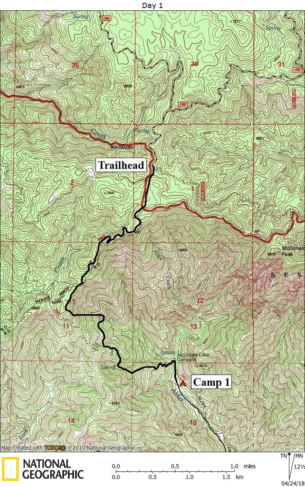
Day 1 April 11, 2018 Alamo Mountain to McDonald Cabin |
 |
|
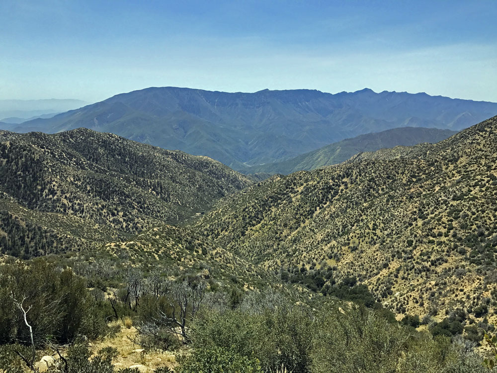
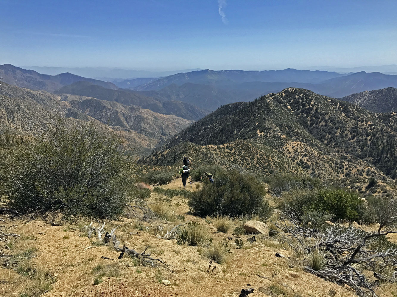
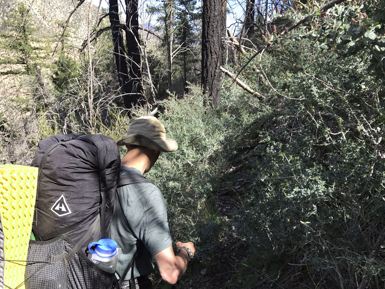
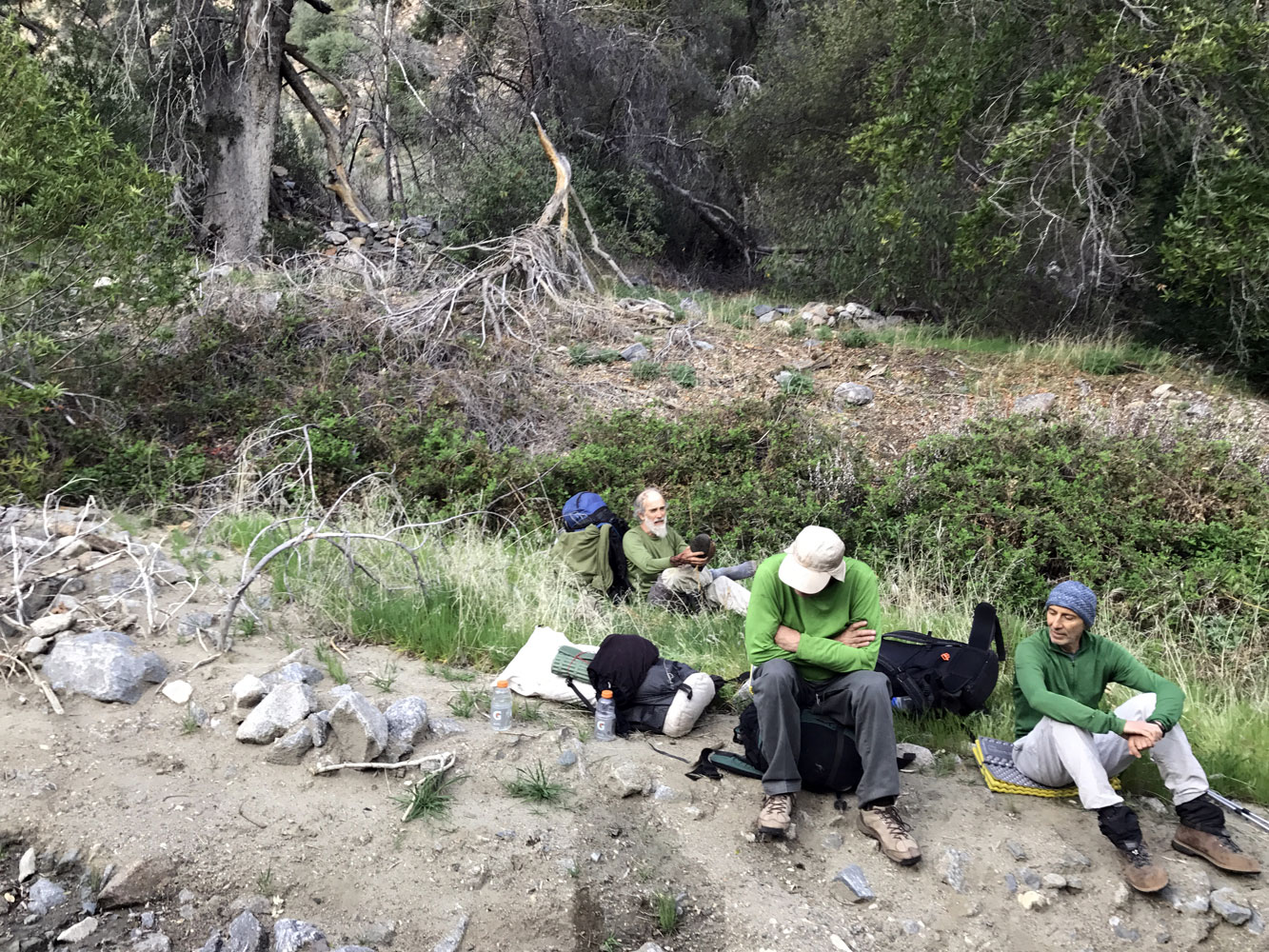
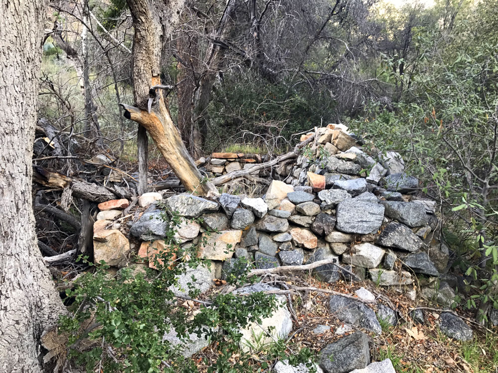
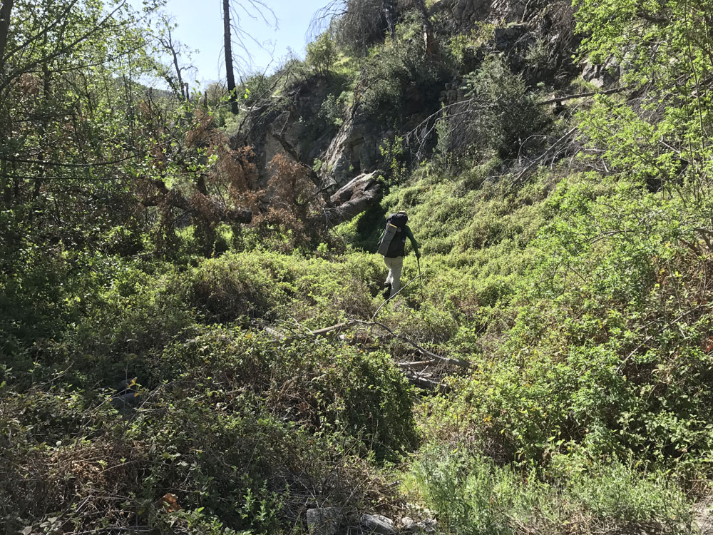
Click on photos to see larger image. Today's route stats: Distance: 4.3 miles Elevation Gain: 100 feet Elevation Loss: 3000 feetRich, Ben and I drove my 4Runner to Santa Paula to pick up Paul and his nephew. We arrived around 8:15. Paul's nephew, Josh, was kind enough to drive us to the trailhead, which should have taken about 90 minutes. All was going well until we reached Piru Creek where we found a locked gate blocking our way. We were shocked since I had called the forest service a few weeks before asking about the road condition. They said it was in good shape, but never mentioned the locked gate. We searched around looking for a way to bypass the gate, but found nothing. There was a combination lock on the gate and we tried dozens of combinations without any luck. We considered walking from there to the trailhead, but that would add more than 10 waterless miles of hiking. When we realized that we would also have to gain 3000 feet in addition to the 10 miles, we dismissed that option. Josh, who is a member of the Ventura County Search and Rescue, was able to call someone to get the combination. It was amazing that he could even get a cell signal from where we were. But he got a combination that worked and we were on our way. An astonishing bit of good luck! I'm not sure when we started hiking, but it was probably almost noon. Our goal for the day was Alder Creek Camp, a distance of about 8 miles. We started on the trail that goes to Mutau Flats, but we turned off onto the McDonald Cabin trail (AKA Alder Creek Trail) in about half a mile. I had hiked this trail once in 1977, and it was in good condition then, but the trail has been abandoned for decades. In 2006 the Day fire burned over the area, so we figured we would be able to follow the trail without too much difficulty. The trail follows a sloping ridge for the first mile, then drops steeply into the Alder Creek drainage. This is where our faint trail completely disappeared. From this point on it was hell. It was very steep, no visible trail, and lots of brush (with long thorns) and downed trees. By using my GPS, we maneuvered to intersect the trail on numerous occasions, but never found even a trace of it. In hindsight, I think we would have been better off not even trying to locate the trail, but rather just pick the best looking route. |