|
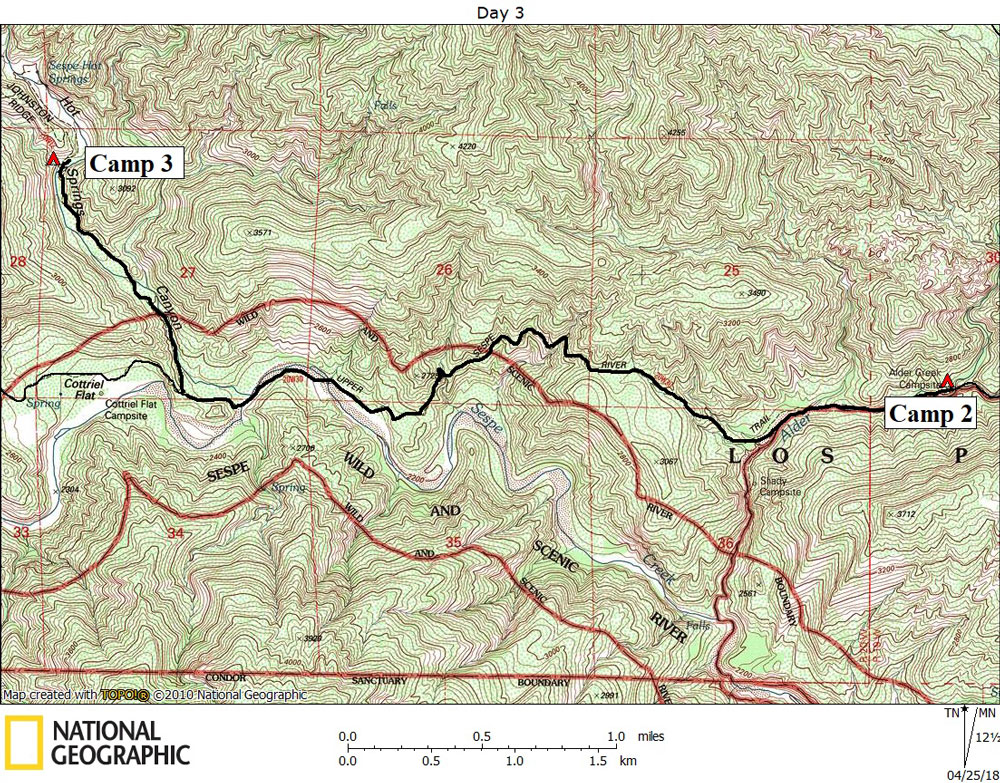
Day 3 April 13, 2018 Alder Creek Camp to Sespe Hot Springs |
 |
|
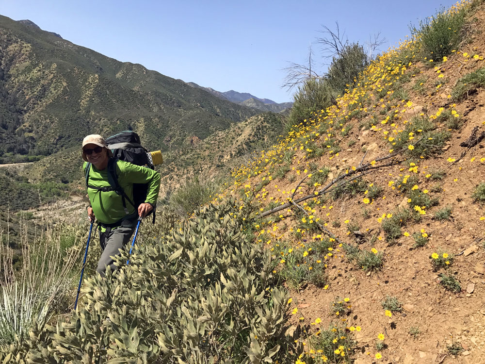
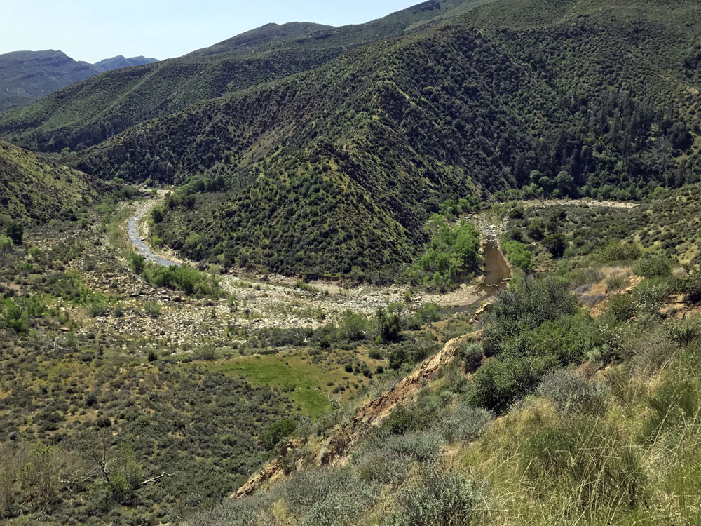
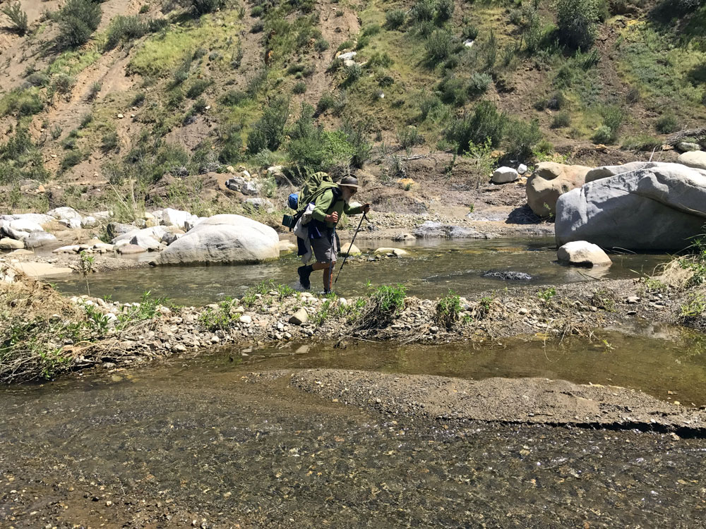
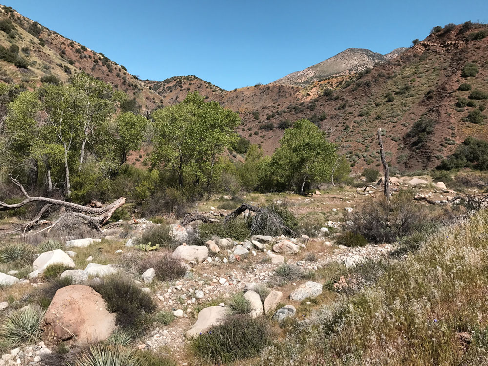
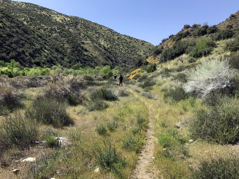
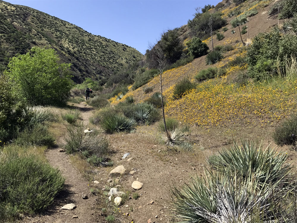
Click on photos to see larger image. Today's route stats: Distance: 4.9 miles Elevation Gain: 950 feet Elevation Loss: 800 feetWe expected today to be relatively easy -- much easier than the past two days. We would now be on a familiar maintained trail all the way to the hot springs. The trail down to Shady Camp was a bit overgrown, but easy to follow. We never actually got to Shady Camp because we turned off to take the trail that goes up, over, and then down to Sespe Creek. I had originally hoped to hike directly down Alder Creek to Sespe Creek, but this would have been harder and take longer. On a backpacking trip with YMCA in 1963, hiking the other direction, we walked down Sespe Creek to the mouth of Alder Creek, passing a camp called Sweetwater. There was once a large Quonset hut there. This site has been deleted from all current maps (which only increased my curiosity). Although the hike along the Sespe Creek was easy, we had to cross it twice before getting to Hot Springs Canyon. The mile or so hike up Hot Springs Canyon was very pretty. There is barely a trace of the old road. If you didn't already know there had been a road there, you probably would never suspect.
|
 |
 |
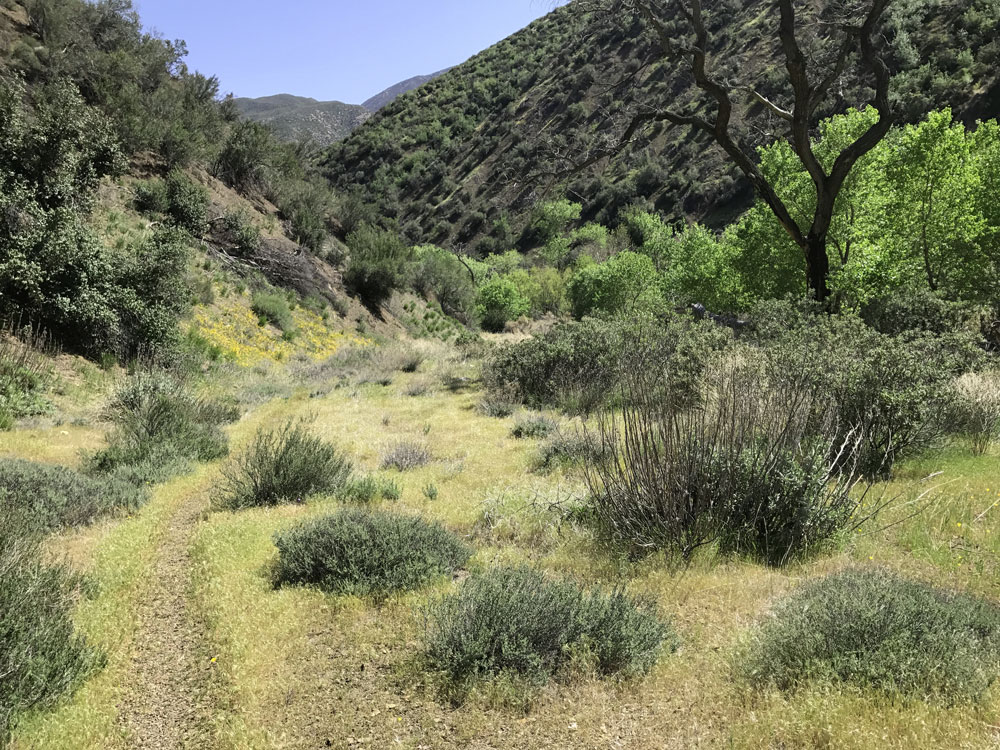 |
| Trail Leading to the Hot Springs. | Trail Leading to the Hot Springs. | Trail Leading to the Hot Springs. |
|
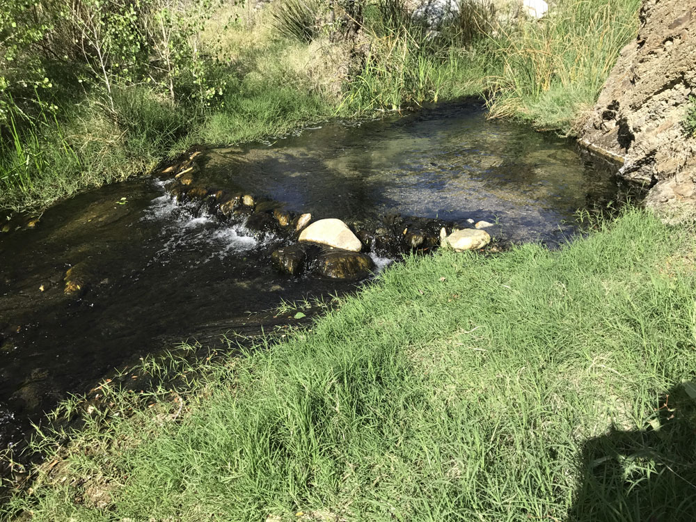
For some reason, the hot springs water was hotter than usual, at least lower down in the canyon. We camped at the bottom of the Johnson Ridge trail, and a nearby pool was the perfect temperature. I am pretty calibrated to hot water temperatures and estimated it was about 101 degrees F. The hot springs themselves emerge almost half a mile up the canyon. Often cold water from higher up cools down the hot water, but apparently the cold water was not flowing as much as usual. Sespe Hot springs is one of the hottest springs in California, emerging at around 194 degrees F.
|
