|
Day 1 April 7, 2023 150-Mile Trailhead to Little Joe Spring |
 |
|
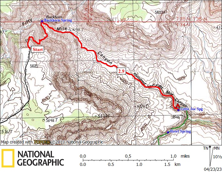
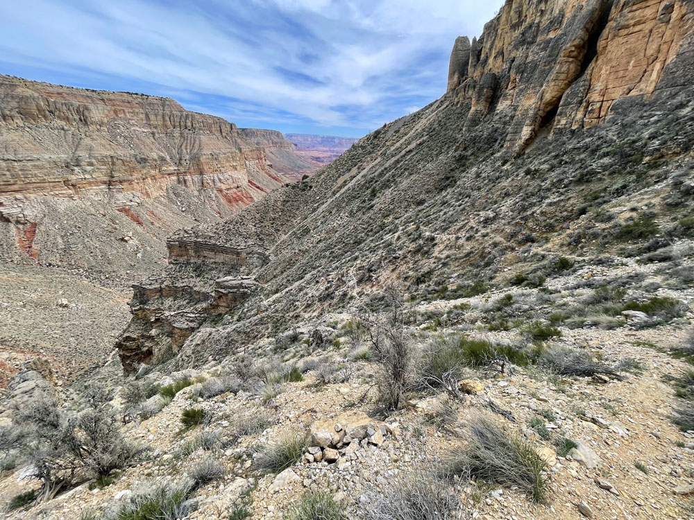
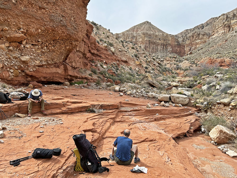
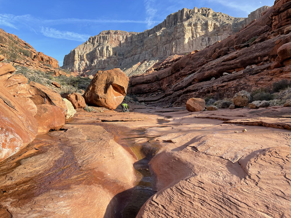
Click on photos to see larger image. Today's Route Stats: Distance: 2.9 miles Elevation Gain: 0 feet Elevation Loss: 2000 feet After a quick breakfast, we grabbed a sandwich for lunch and headed to 150-Mile Trailhead. We turned onto a small dirt road that led to our exit point, where we dropped off my e-bike and continued on to the trailhead. This road is not shown on the USGS 7.5-minute topo map, but it is visible on Google Earth. I dropped off Rich and Ben, then drove back to our exit point where I dropped off my car and returned to the trailhead on my e-bike. The roads were completely dry. We started hiking around noon. I started out with my pack weighing about 33 pounds, without water. This is several pounds more than usual for me, but not too bad considering the length of the trip and the fact that I brought my tent. The trail heading down to Buckhorn Spring has been abandoned for years, but for the most part, it's still there. It took us roughly an hour to reach Buckhorn Spring, where there was a small flow. The first mile or so heading down Tuckup Canyon is slow due to debris and rocks in the streambed. But once into the Supai, the canyon bottom clears up and hiking becomes very easy. Although we had planned to camp at Hotel Spring this evening, we ran into water a little ways above Little Joe Spring and a really nice camping spot. So we stopped for the night. I always bring several audio books on my iPhone to listen to at night. Tonight I finished listening to My Stroke of Insight by Jill Bolte Taylor (excellent book, highly recommended).
|


