|
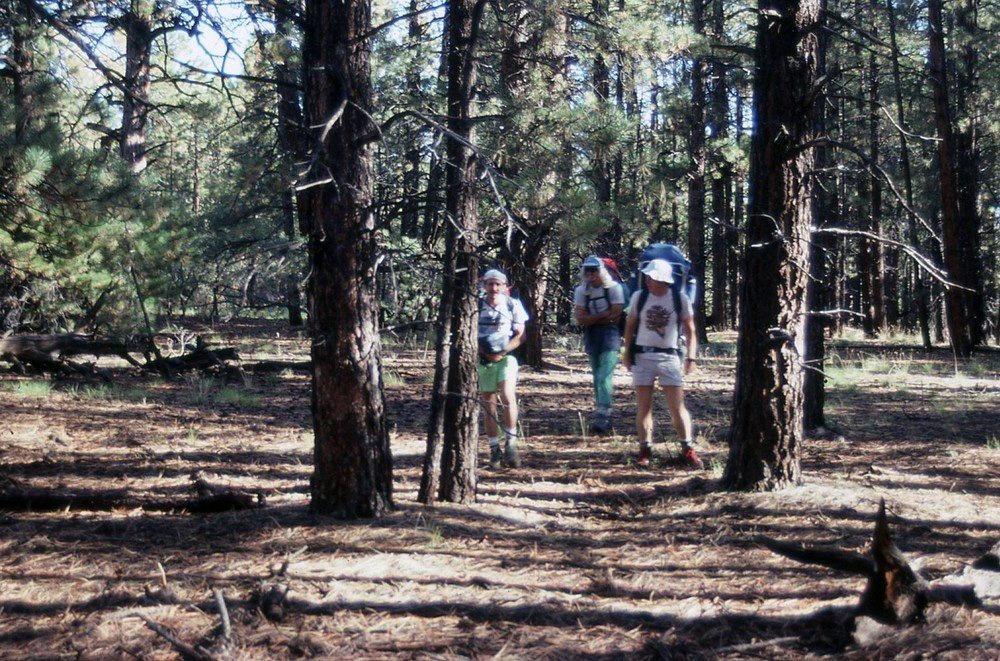
Day 1 September 28, 1991 Tiyo Point to Dragon Spring |
 |
|
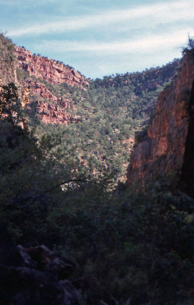
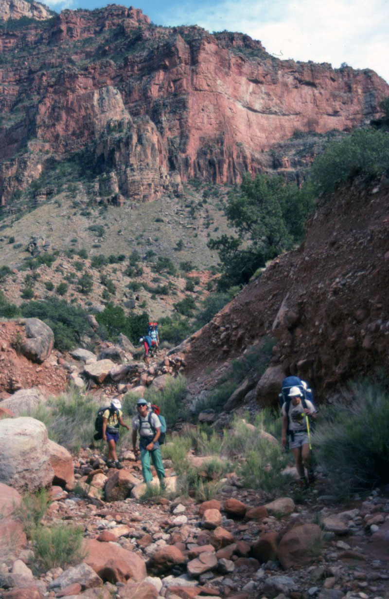
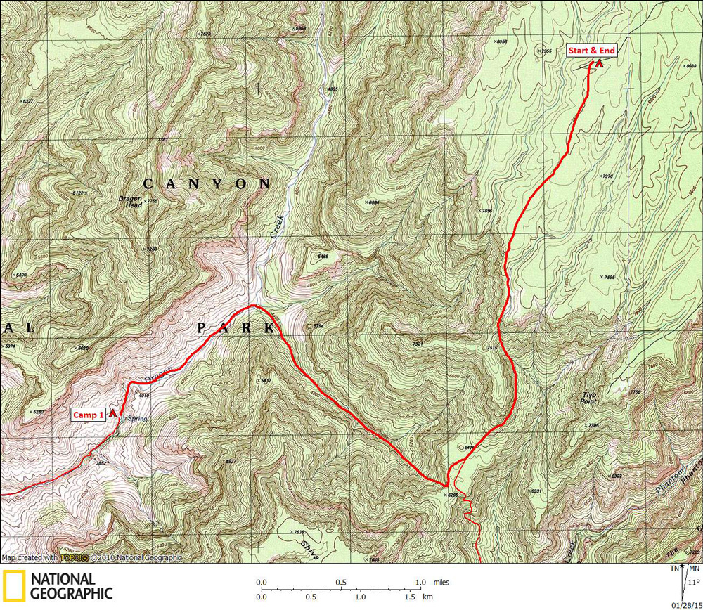
Click on photos to see larger image. Today's route stats: Distance: 6.0 miles Elevation Gain: 0 feet Elevation Loss: 4300 feetWe got up at first light, ate breakfast, distributed communal food and gear, and drove back to the spur road (described by Steck) where we began hiking. Steck mentioned this starting point (spur road) in his book, although he had never done it. It certainly looked easy on the map, so we gave it a try. The spur road ends in a thin forest of Ponderosa pine. Using a compass we headed SSW, keeping to the high ground between two shallow drainages. After about a mile and a half we began dropping down into a drainage that led to the rim. After dropping down 700 or 800 feet, we began to contour at a fairly constant elevation until reaching the large, flat saddle between the rim and Shiva Temple. The contouring section was unpleasant, requiring a lot of side-hilling and brush-bashing. |