|
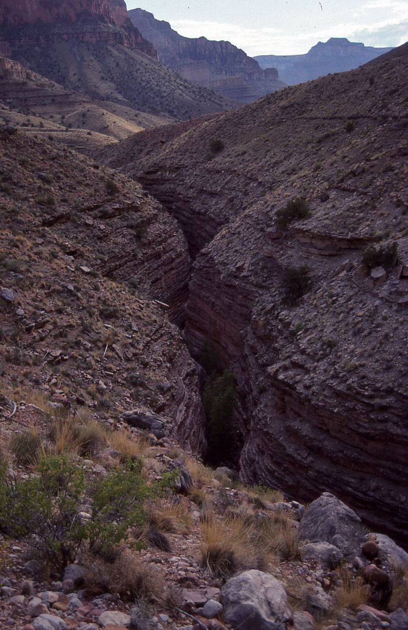
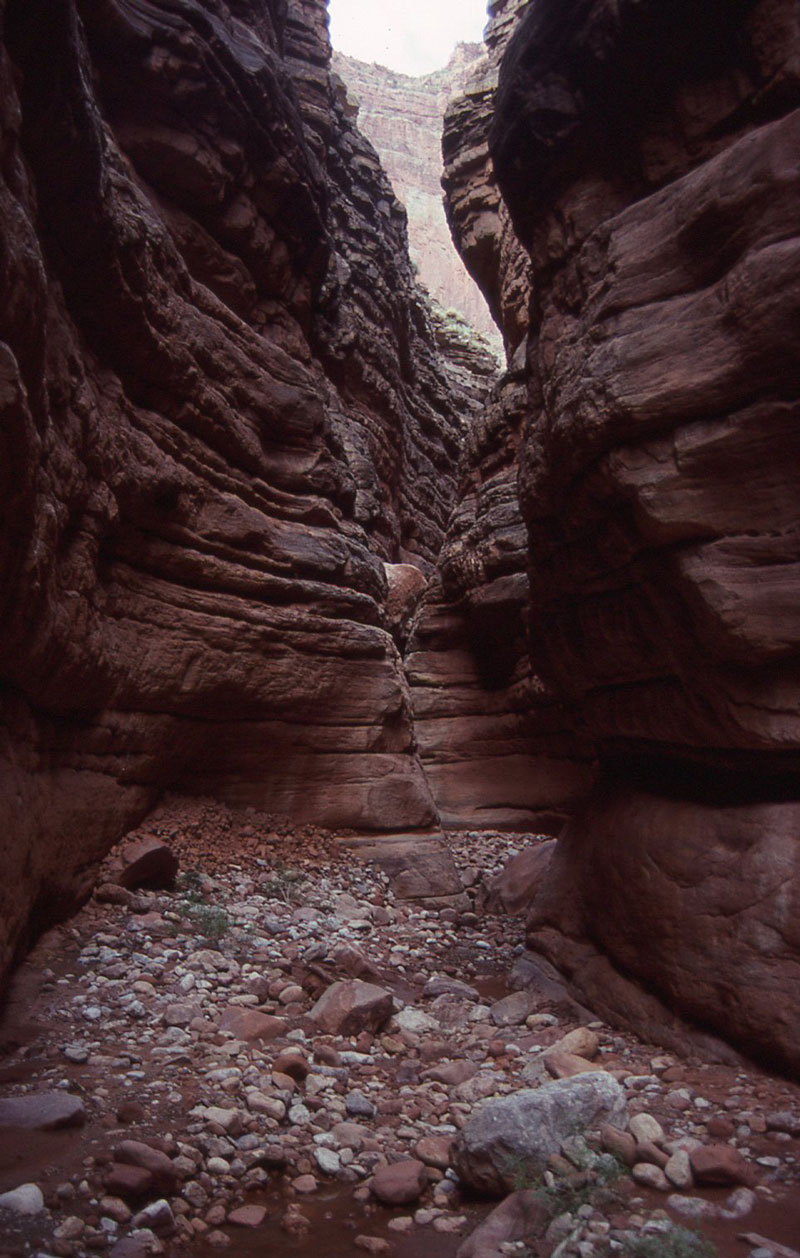
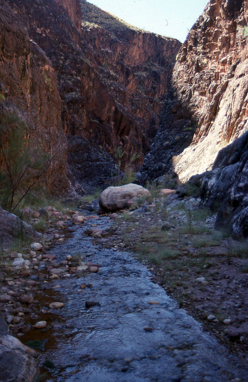
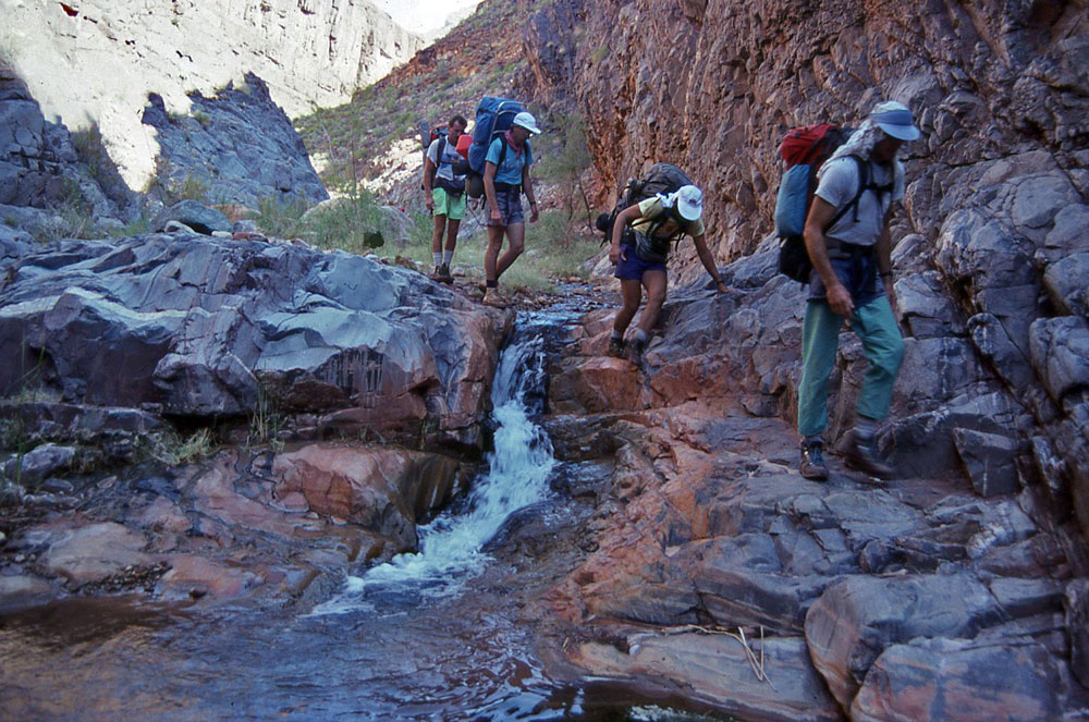
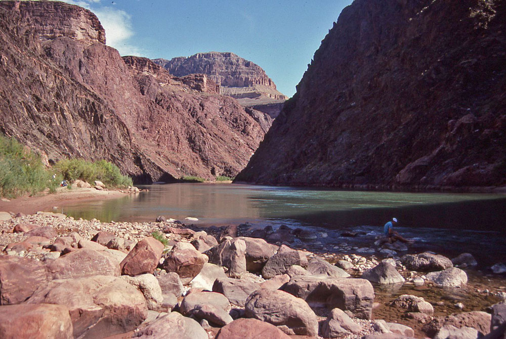
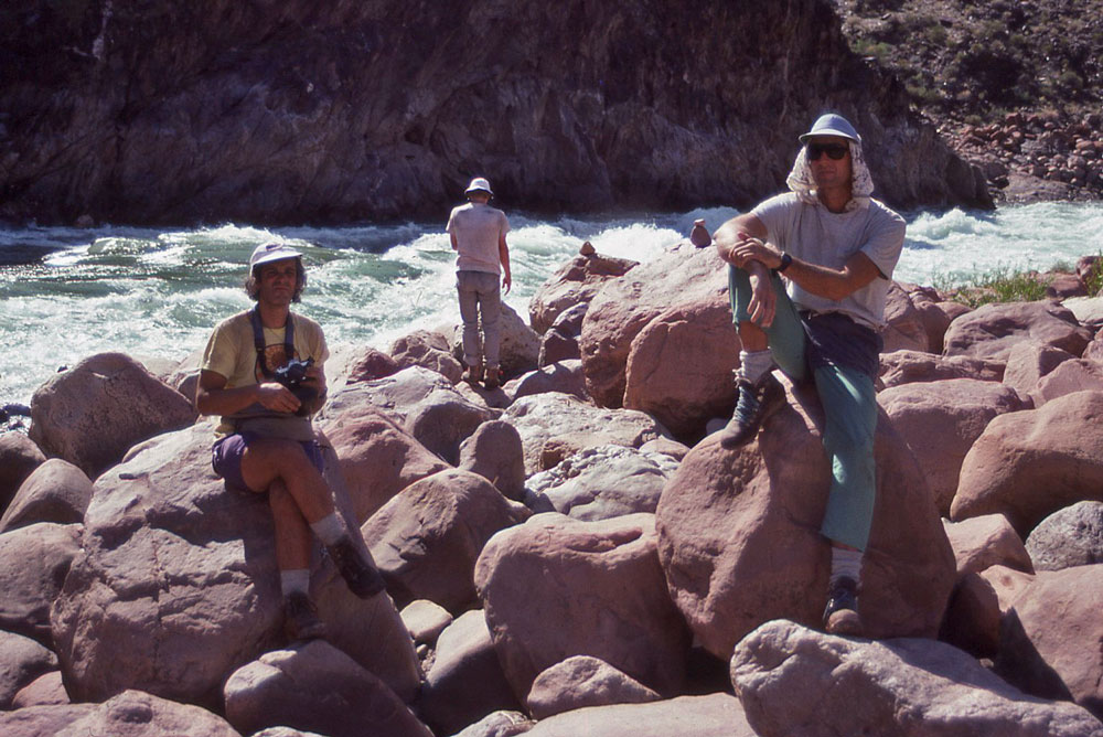
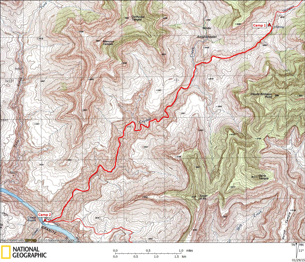
Day 2 September 29, 1991 Dragon Spring to Crystal Creek at the Colorado River |
 |
|
Click on photos to see larger image. Today's route stats: Distance: 6.0 miles Elevation Gain: 0 feet Elevation Loss: 1450 feetToday we began hiking down Dragon Creek to Crystal Creek, then down Crystal to the Colorado River. The hiking was easy but rock-hopping for 6 miles was tedious. But there were no major obstacles to deal with and the grade was constant all the way to the River. |