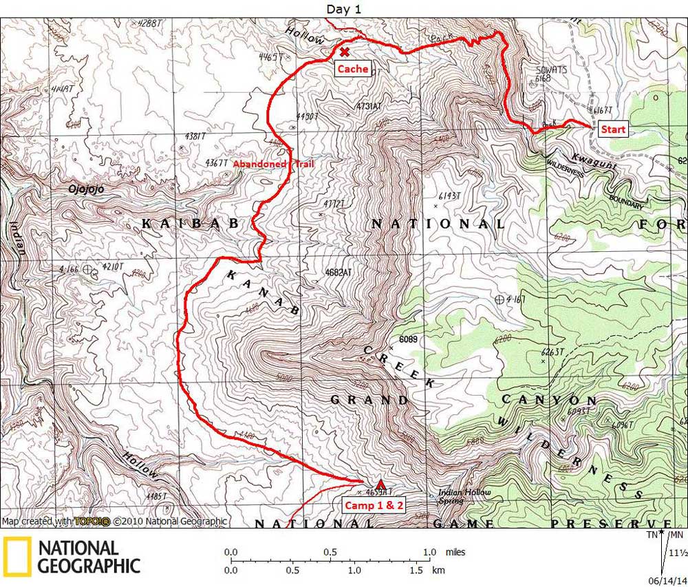
Day 1

April 20, 2014

Sowats Trailhead to Indian Hollow Spring


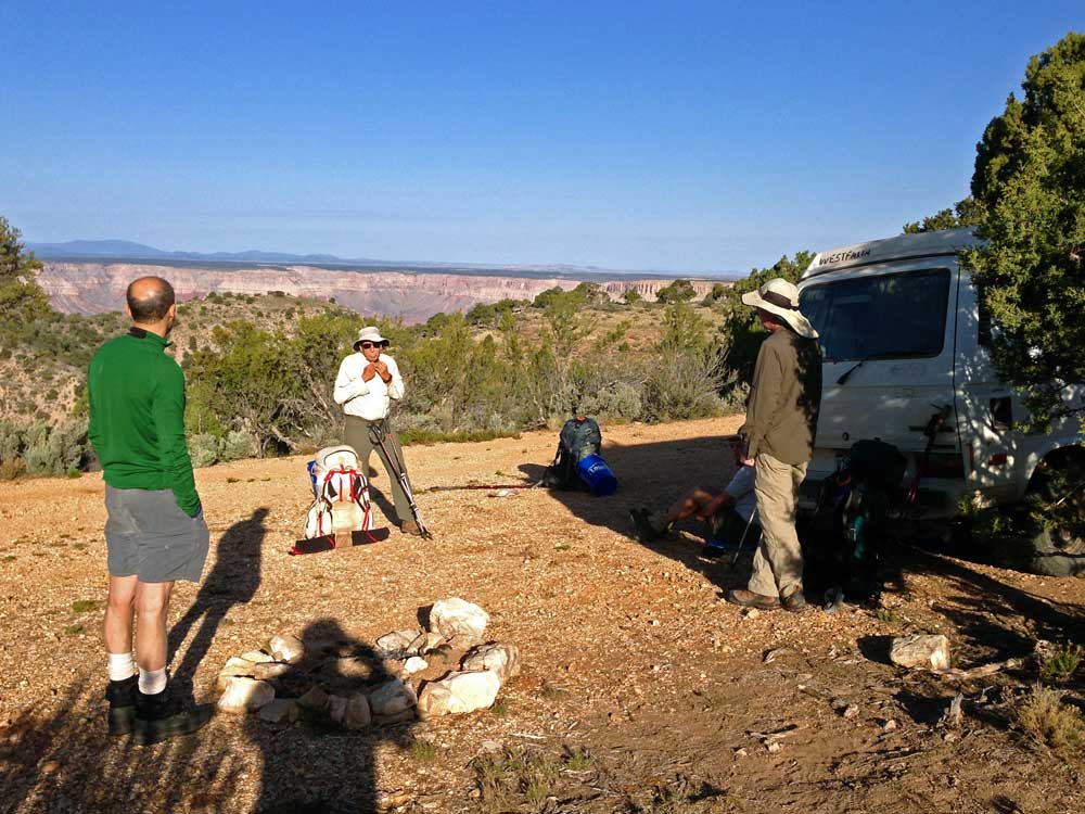
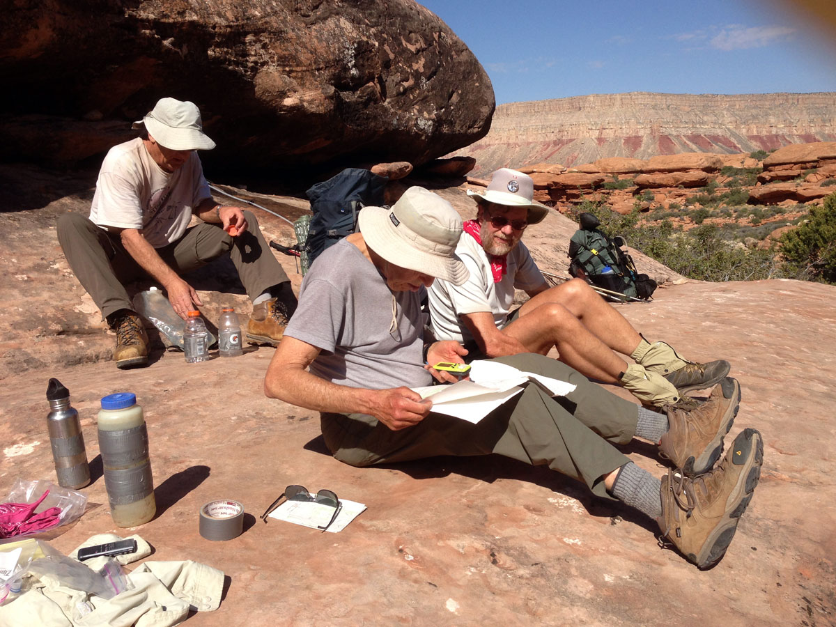
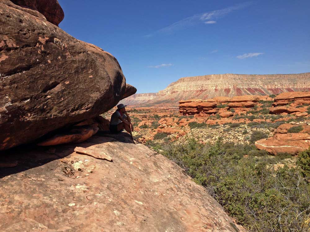
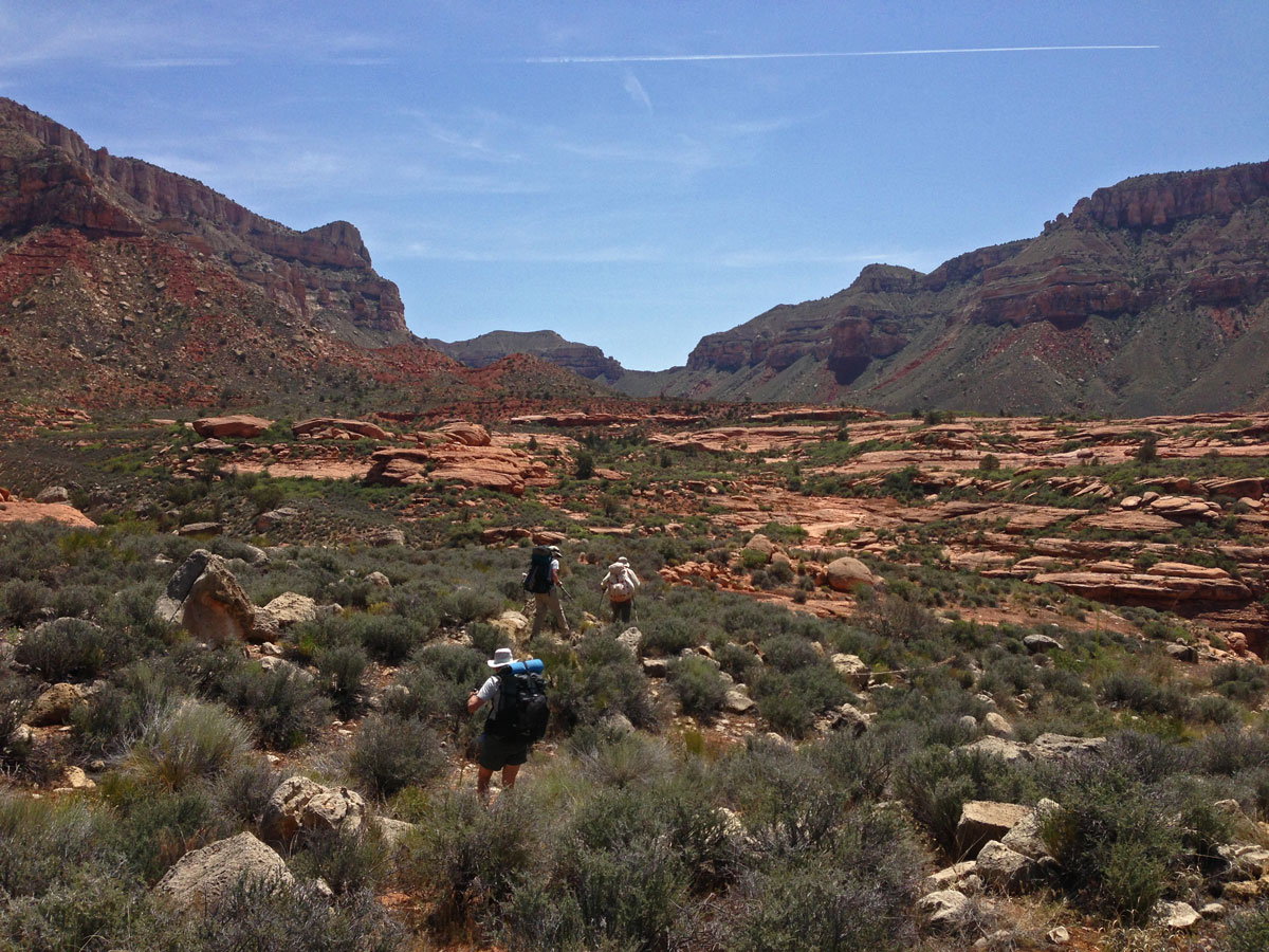
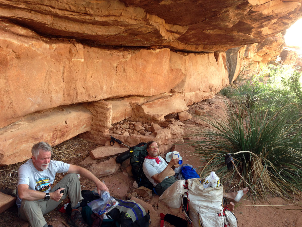
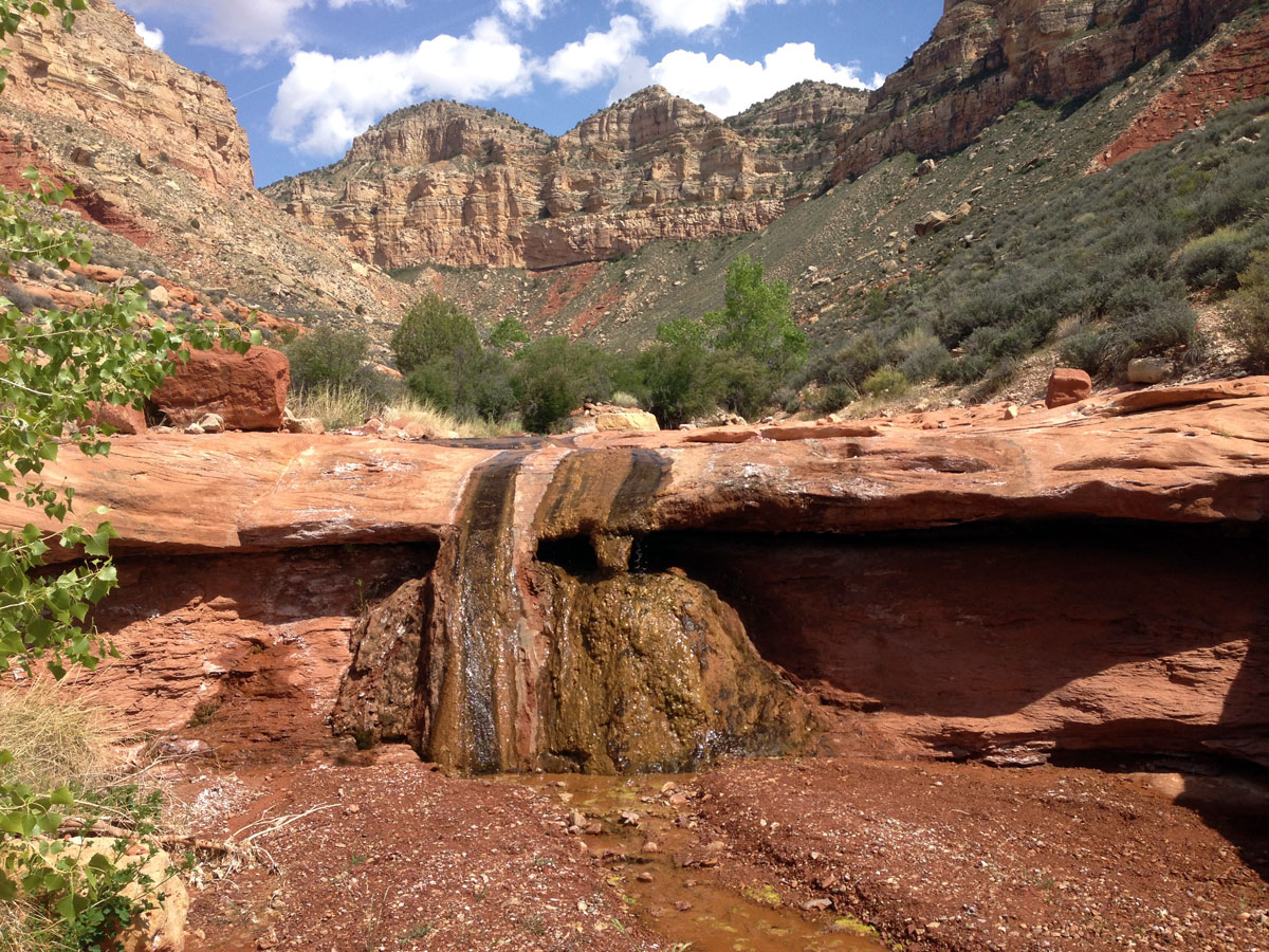
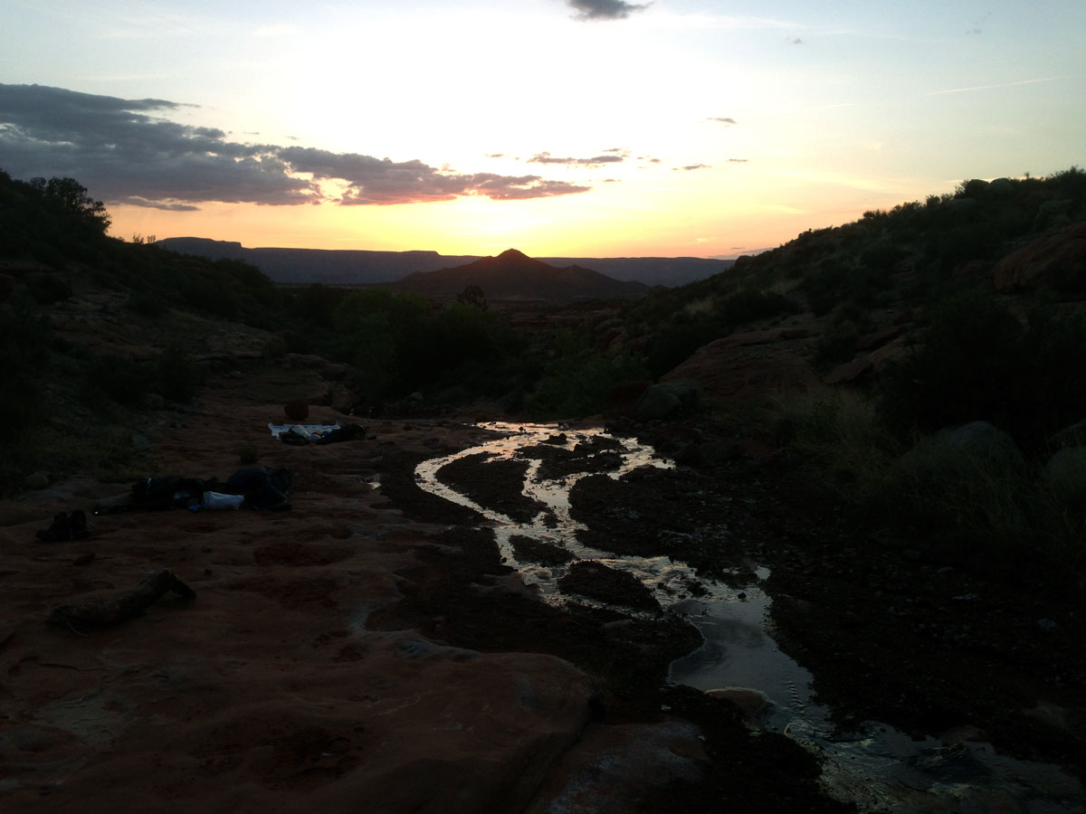
Click on photos to see larger image.

Today's route stats: 

    Distance: 5.5 miles

    Elevation Gain:  200 feet

    Elevation Loss:  1700 feet

As per usual, we got up at first light, ate a quick breakfast, and distributed communal gear among the five of us.  We then drove to the trailhead (only a mile or two) and started down the trail.  Our goal for the day was a campsite somewhere near Indian Hollow Spring.  We carried two empty 5-gal buckets to be used for a cache.  The trail starts out by dropping down a shallow drainage that leads to a large pouroff.  There the trail turns north and contours in the Toroweap a half mile or so.  I like this section of the trail -- it is well constructed and almost level, plus it has wonderful views down onto the Esplanade.  After contouring, the trail zig-zags  down a steep talus slope, all the way to a small grove of Cottonwoods on the Esplanade.  After a short walk past where the trail turns north towards Sowats Canyon, we dropped down to the drainage at the lower end of the Cottonwoods.  There was flowing water where we filled up our canteens.  A few hundred feet above the drainage, on the south side, we came to a nice slickrock area where we stopped to put our cache together. 

Ben, Bert, and Decker at the Trailhead.


Bob, Bert, and Rob at Cache Site.


Rob Near the Cache Site.


We placed our cache (two buckets and some stove fuel) under an overhang and continued on the trail towards Indian Hollow Spring.  The abandoned trail starts out from our cache site and heads towards Indian Hollow Spring.  The trail deteriorates the farther you go.  The last time we were here we learned (the hard way) that the "trail" is up in the blackbrush much of the way -- not down on the slickrock benches where we would prefer to hike if there were no trail.   But if you lose the trail in the blackbrush, the going can be very tedious. 


Looking for the "trail" on the Esplanade.


Decker and Rob at Granary.


Esplanade Rock Art.


We encountered a couple of overhangs that had been previously inhabited -- by both native Americans and cowboys.  We found lots of old cowboy stuff (cans, wire, pots) and native American pictographs.  We also found an inscription by Walapai Johnny, who hung out in this area in the 50s, and for whom the spring in upper Fishtail Canyon was named (Hualapai Spring).

The best camping sites are down on the slickrock benches, but we wanted to be closer to water.  So we ended up camping in the Indian Hollow Spring drainage.  The site we settled on was adequate for five people.

During the night I listened to a several of audio books, including The River of Doubt by Candice Millard, The Swerve:  How the World Became Modern by Elizabeth Kolbert, and The Sixth Extinction by Stephen Greenblatt. 


Bob and Rock Art. Small Travertine Formation. Evening View of Racetrack Knoll from Camp.

Back to Main Trip Index Back to Trip Index Back to Preface Forward to Day 2