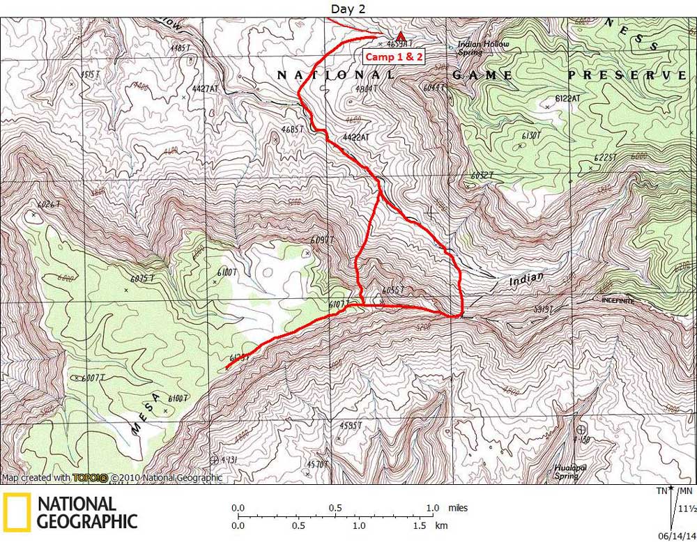
Day 2

April 22, 2014

Climb of Fishtail Mesa


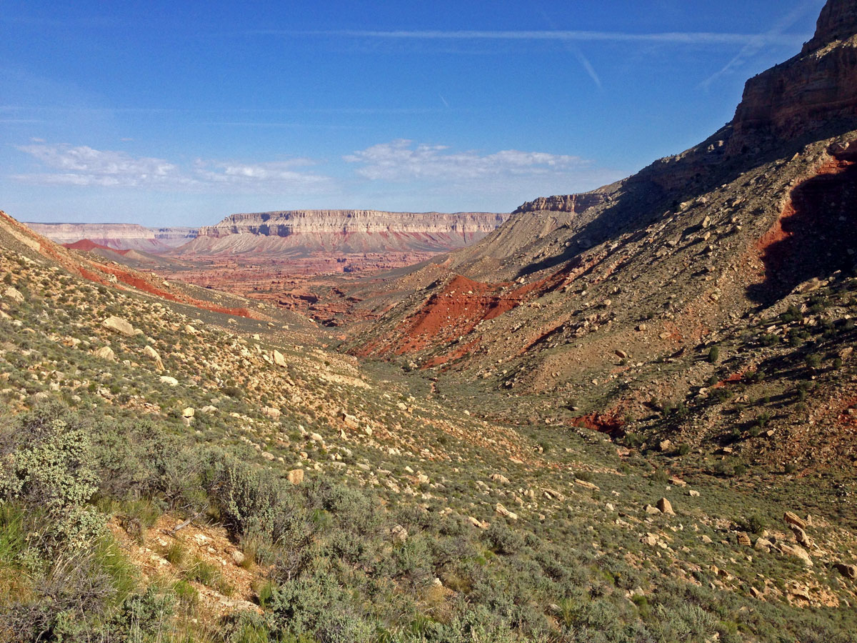
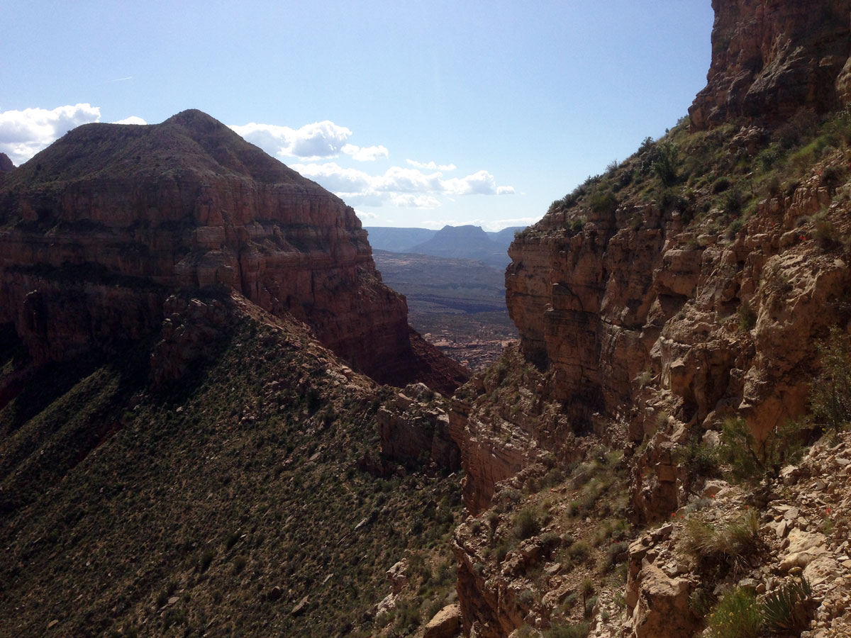
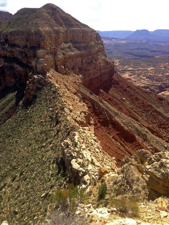
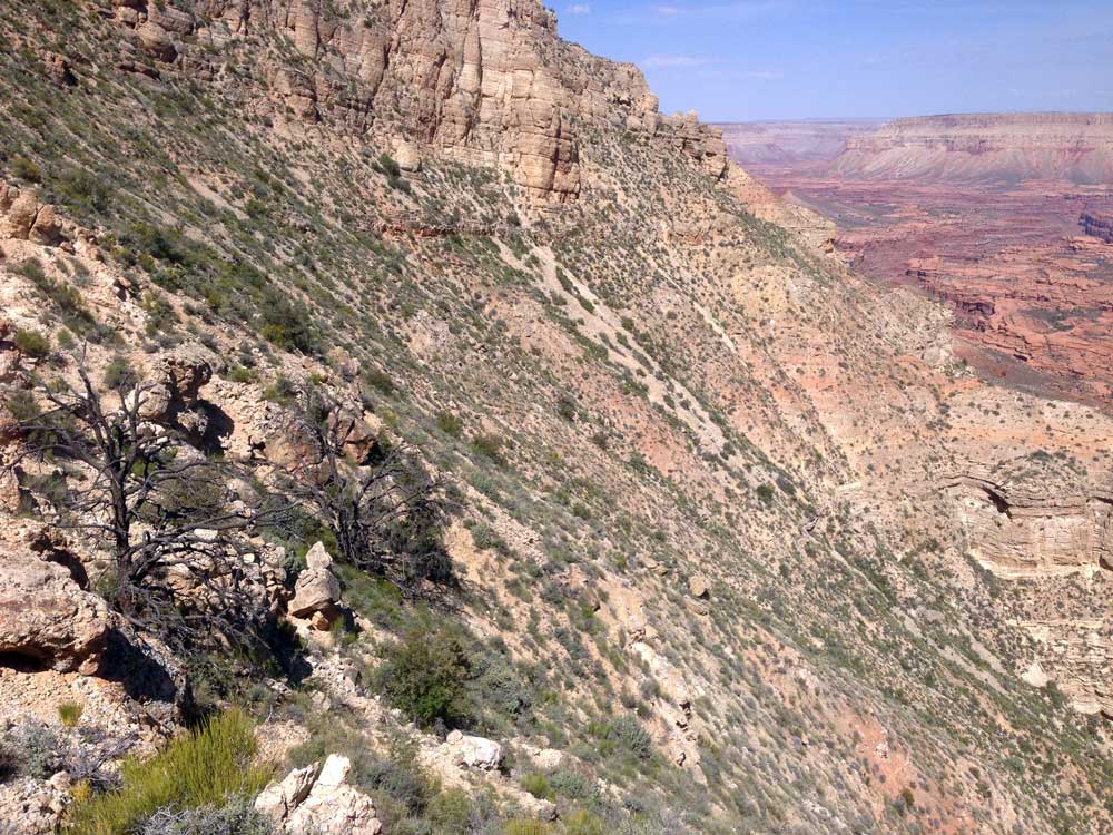
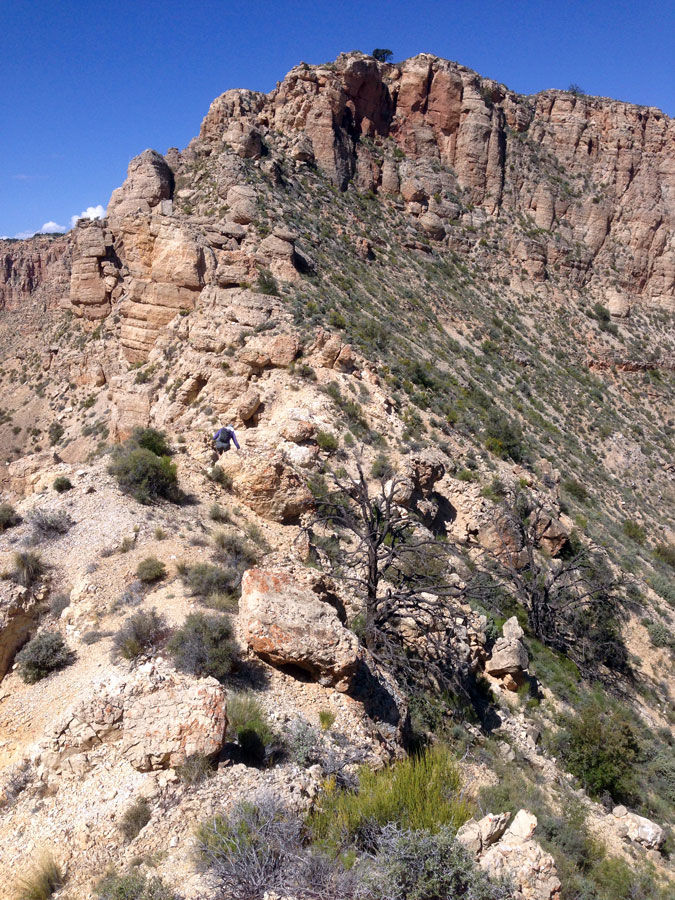
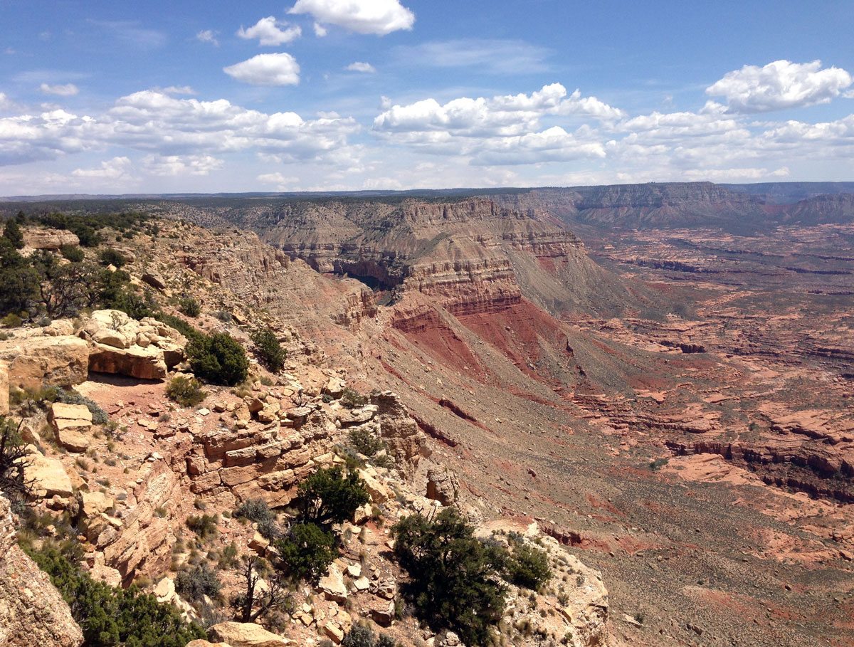
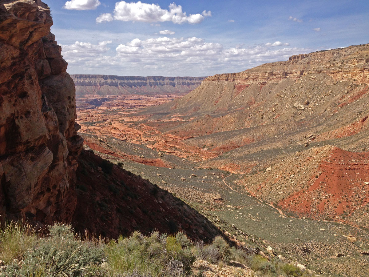
Click on photos to see larger image.

Today's route stats: 

    Distance: 6.5 miles

    Elevation Gain:  1500 feet

    Elevation Loss:  1500 feet

Today we were finally going to attempt to climb Fishtail Mesa.  Our first objective would be Fishtail Saddle.  We began hiking around 8:00 and we reached Indian Hollow in about 45 minutes.   We then walked up Indian Hollow for about a mile before leaving the drainage and heading for the saddle.  We were familiar with the route from a previous backpack we did around Fishtail Mesa in March, 2010. 

Preparing for Day-Hike to Fishtail Mesa.


Indian Hollow From Below Fishtail Saddle.


Fishtail Saddle.


We knew of two routes to the top of Fishtail Mesa.   The most common route is via a steep chute on the NW side of the mesa, but Pete Borremans informed me that he climbed directly up the ridge from the saddle.  This appealed to us because it would eliminate the contouring over to the chute below the Coconino.   But once we got to the saddle, the route looked difficult and exposed, so we dropped down a bit and began contouring over to the chute.  But Ben and I soon spotted a possible route back up to the ridge line, and we decided to go for it.   It ended up being steep and exposed in a couple of places, but we managed get to the top.  And once at the top I knew I wasn't going to risk climbing back down the same route.  I would use the chute instead.

Looking Back Down at the Saddle. View of Chute from Ridge. Upper Section of Ridge.

Ben and I met up with the others just as they reached the top if the chute.  We had heard that there was a summit register somewhere, so we headed for the high point on the mesa, which was only about 3/4 mile away.  The mesa top is not as flat as I expected.  It was slightly rolling terrain studded with pinyon and juniper. 

At the high point of the mesa (marked 6225T on the map), we found a glass jar with a small notebook.  Either very few people make it to the top of Fishtail Mesa, or else when they do, they do not find the register.  There weren't very many names on the list, and they were spread out over many years. 

After a short lunch break at the summit, we headed back down to camp.  The chute very steep and loose.  It took a lot of concentration and careful route scouting to make it down without falling, although I  think most of us did slip and fall once or twice. 

Overall it was a worthwhile hike, but I doubt I will want to do it again any time soon.

Upper Deer Creek from Mesa. Approaching High Point on Mesa. Dropping Back Down to Indian Hollow.

Back to Main Trip Index Back to Trip Index Back to Day 1 Forward to Day 3