Day 4 April 23, 2014 Lower Jumpup Spring to Esplanade Below Jumpup Point |
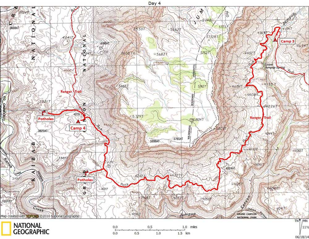
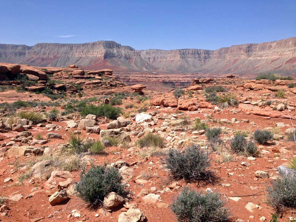
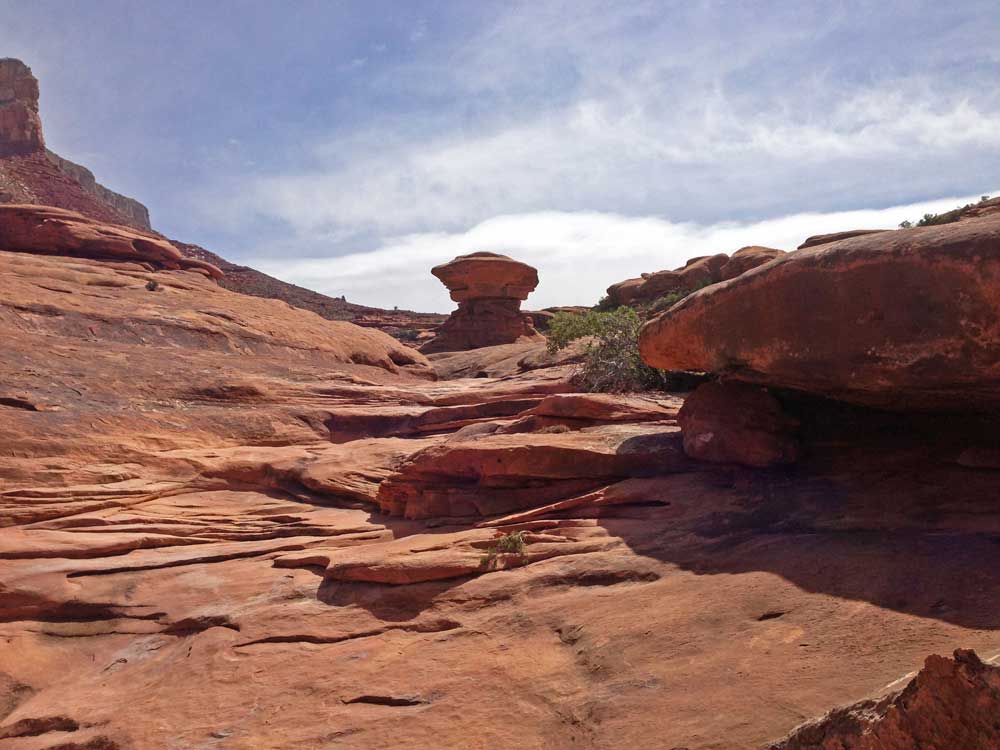
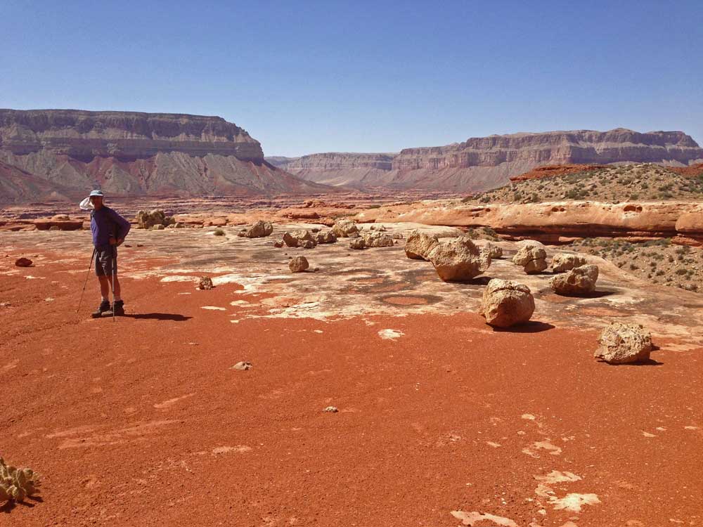
Click on photos to see larger image. Today's route stats: Distance: 8.0 miles Elevation Gain: 300 feet Elevation Loss: 300 feetWe got a pretty early start today, and we began by carrying 3 to 4 quarts of water each. The hikers we met yesterday told us where they had found potholes, but we didn't want to bet our lives on finding it. We had hiked this section of the Ranger Trail last year, but in the opposite direction, and after recent rains. The morning started out cloudy, but cleared up by noon. |
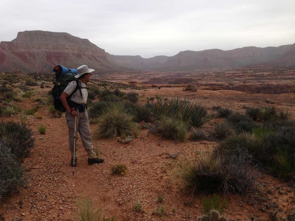
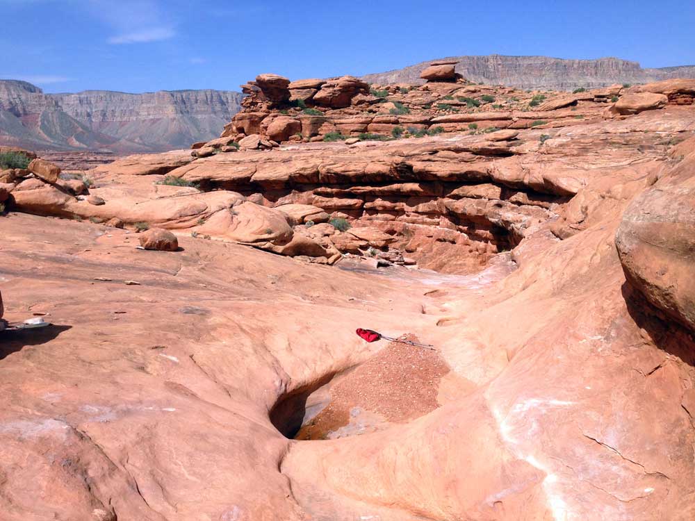
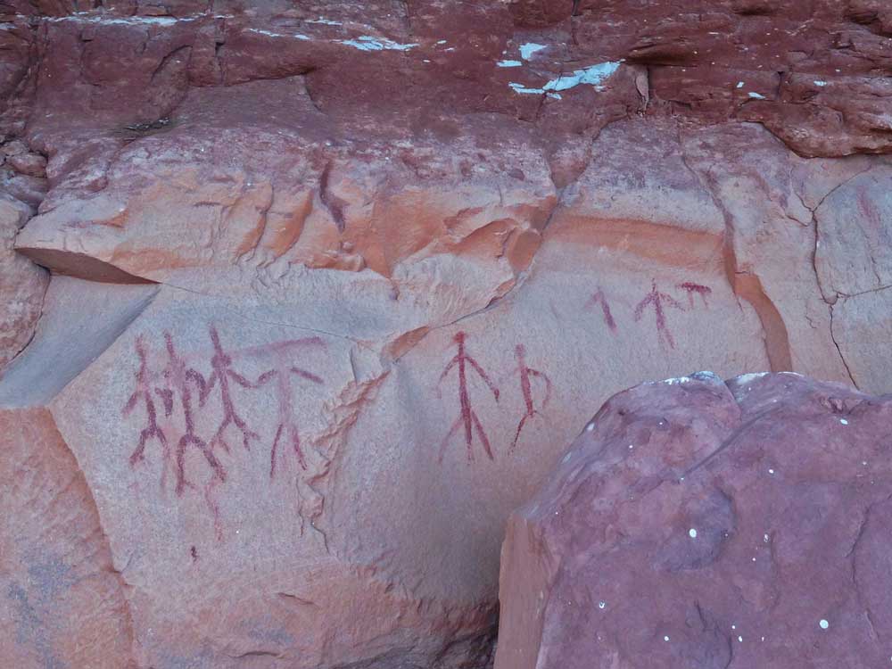
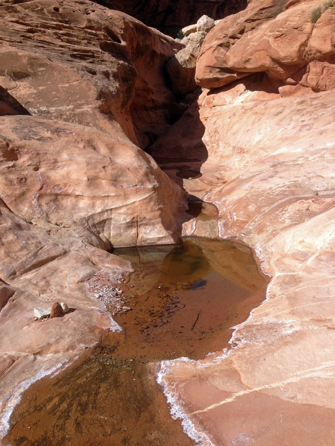
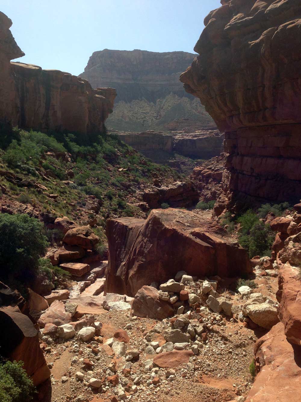
Around noon we reached the shallow drainage where the hikers we met yesterday said that they had found water. We dropped our packs and hiked down the drainage. It didn't take long before we found a couple of shallow potholes. The water didn't look great so we continued down canyon looking for something better. No luck. And since it was too early to stop for the night, we collected a couple of liters each and continued on, hoping we could find something better. If we couldn't, we would hike back here and collect more water. We found some rock art in the area of the potholes, so they were undoubtedly well known by the ancients.
|
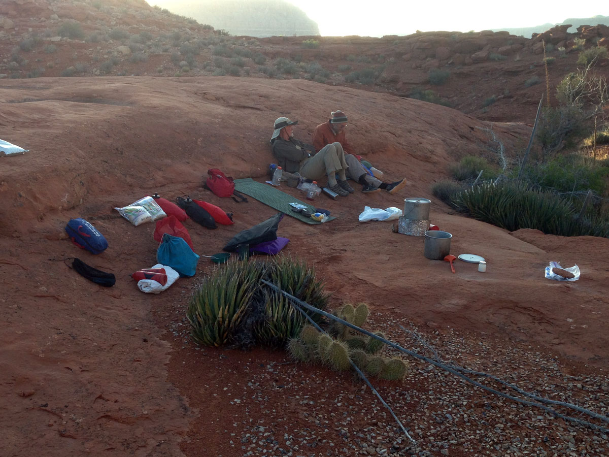
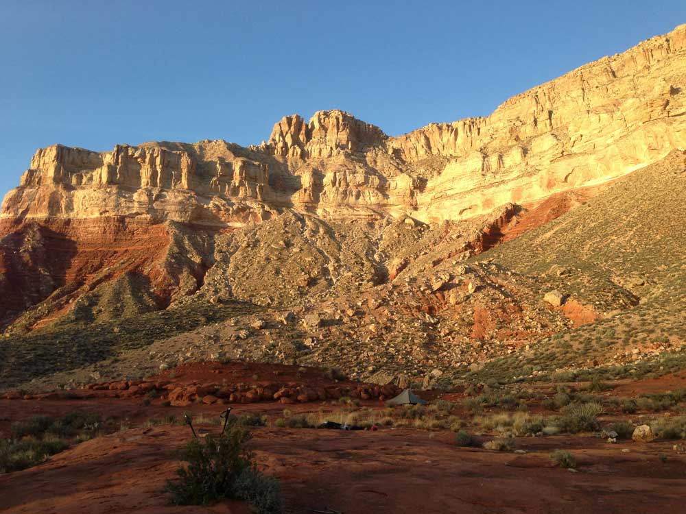
We continued along the Ranger Trail for another mile. We found a nice campsite and decided to stop there for the night. We figured we had gone far enough since if we could not find water around our campsite, we would have to hike back a mile to get water from the first potholes we encountered.
|
We stopped here for the night because there was water, but we neglected to figure out exactly how far we would have to go in the next few days. As it would turn out, we would have a couple of very long days ahead of us.
|
Back to Main Trip Index | Back to Trip Index | Back to Day 3 | Forward to Day 5 |