|
The rest of the
day was uneventful, except for the huge hassle of getting around the
head of Big Cove Canyon, the next major drainage we encountered.
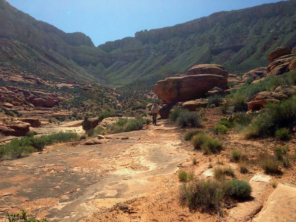
The trail just disappeared, or rather, it split into several paths,
then disappeared. The terrain was convoluted and difficult to
navigate through. We ended up splitting up into two or three
groups, each of us thinking we were either on the trail, or an easy
to travel route. I ended up hiking farther up canyon than
necessary. And it was getting pretty hot, so none of us were
having any fun.
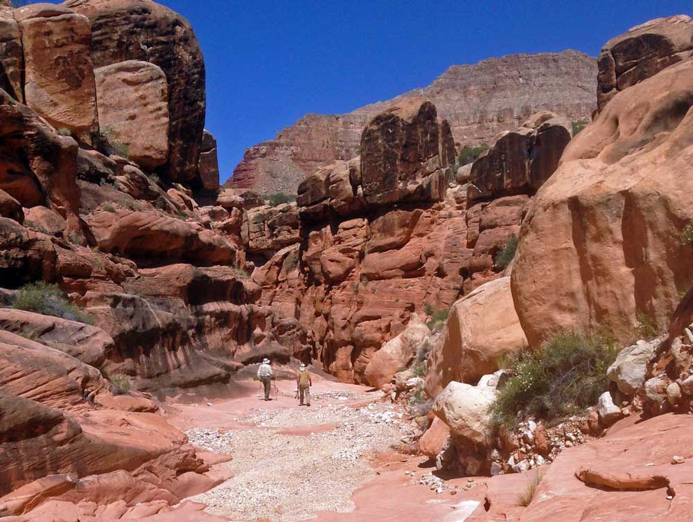
We re-grouped on
the far side of the web of drainages. We now had only a little
over a mile to go to get to Kanab Creek. The trail actually
drops down into Kanab earlier than shown on the map.
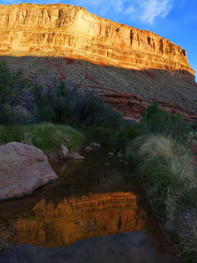
To our
disappointment, Kanab Creek was bone dry. We began hiking up
Kanab, hoping to find water. We soon found some wet sand, then
a few very stagnant pools, and finally a very large pool in the
creek bed, probably 15 feet wide and several hundred feet long.
And several feet deep in places. We found some nice rock
ledges on creek right and we set up camp.
Around dinner
time, we got out the maps and began looking at what our day would be
like tomorrow. Yikes! We had a very long way to go to
get back to our cars. We should have planned a little better.
But the water situation left us with few options. C'est la
vie.
|