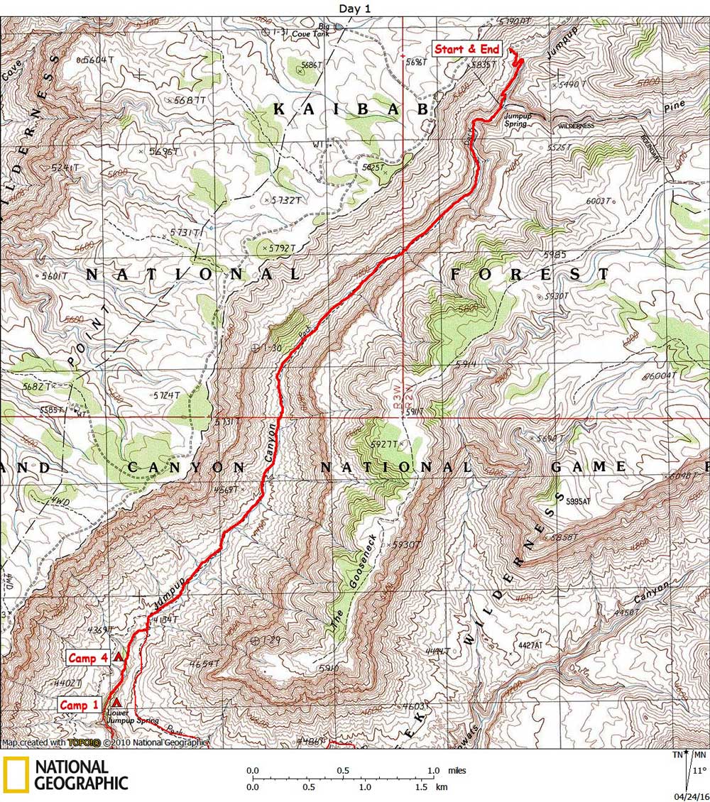
Day 1

April 3, 2016

Jumpup Trailhead to Lower Jumpup Spring


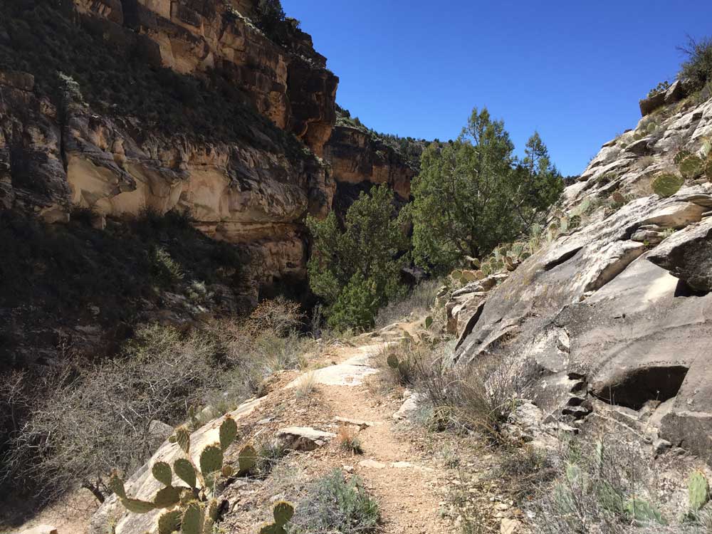
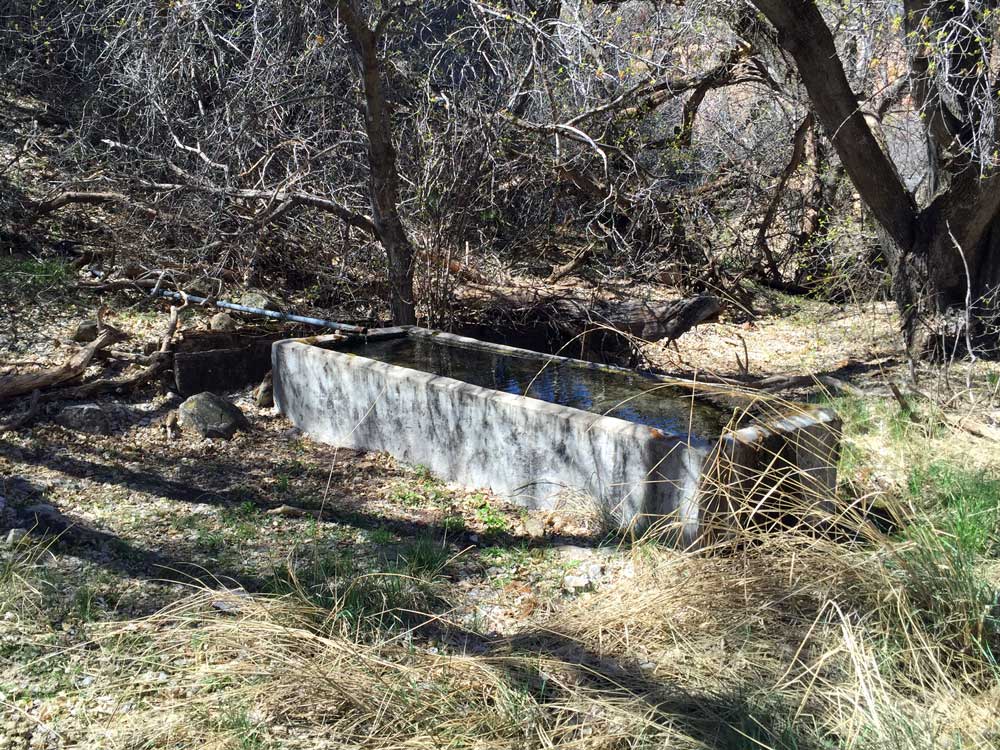
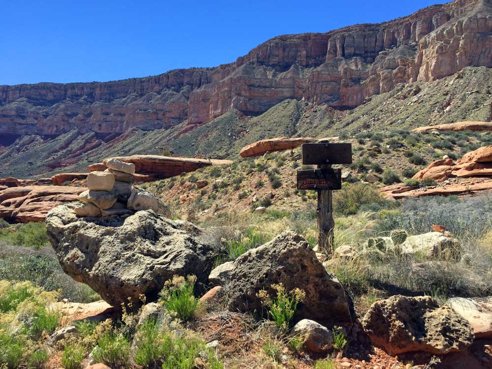
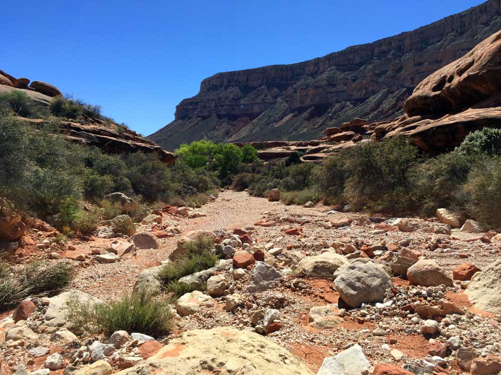
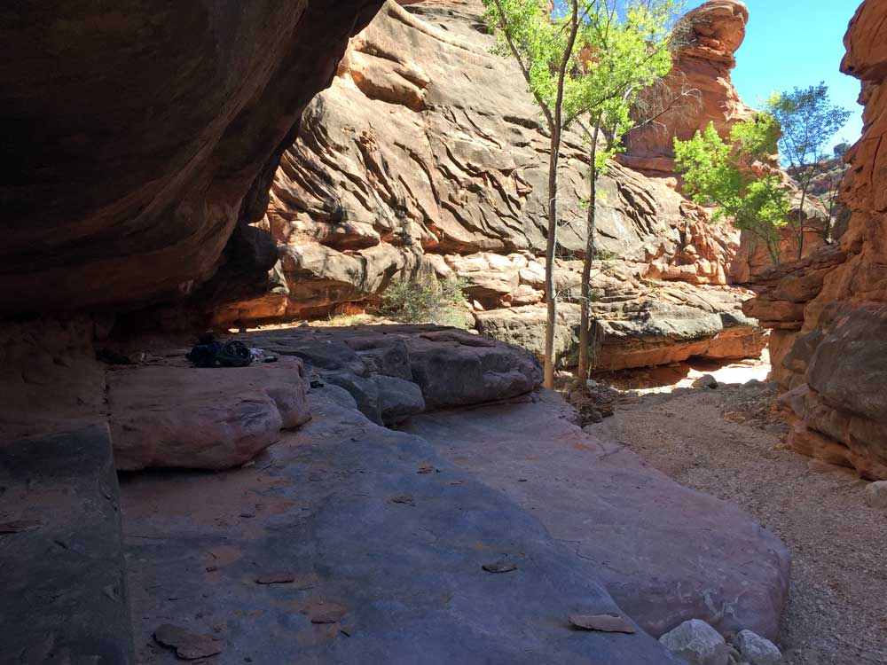
Click on photos to see larger image.

Today's route stats: 

    Distance:  4.8 miles

    Elevation Gain:  0 feet

    Elevation Loss:  1300 feet

I waited around for the restaurant at the inn to open at 8 AM.  They were very slow and I didn't get out of there until almost 9 AM.  I had forgotten my forest service maps showing the maze of roads in the area.  But I was able to download all the relevant USGS topo maps onto my iPhone, so I thought I wouldn't have too much trouble finding the trailhead.  The problem with maps on a small screen is that if you zoom in to see details, you lose sight of the overall terrain.  So I ended up taking the long route to the trailhead, and I had to stop at numerous intersections to consult my iPhone maps to determine which way to go. 

The weather forecast for the next five days looked really good -- dry except for rain on my 6th day.  So I opted to leave my tent behind.  There are numerous overhangs in the area.

I finally got to the trailhead around 10:30.  There was one car parked there.  The beginning of the trail is actually a little steep as you drop 300 feet to the bottom of the canyon where Upper Jumpup Spring is located. 

 
Beginning of the Trail. Upper Jumpup Spring. Intersection of Ranger and Jumpup-Nail Trails.


The spring comprises an old concrete trough.  A pipe dug into the side of the canyon brings water to the trough.  I didn't need water, so I didn't get any. 

A little ways below the spring I ran into 3 people hiking out to their car at the trailhead. 

Although the map shows a trail all the way down to near Lower Jumpup Spring, an actual trail ends at Upper Jumpup Spring.  The route follows the streambed all the way, which was very easy and no obstacles were encountered.  After 4.1 miles I arrived at the Ranger trail which crosses the canyon.  I continued down the canyon for a quarter mile or so, past a small grove of cottonwoods.  I reached the "jump" at around 2:30 PM. 

Bert said he would be camping either below the "jump", or, if everyone still had enough energy, would camp above the jump.  The jump is a pouroff about 20 feet high, with no possibility of a bypass.  But hikers have constructed a makeshift ladder from driftwood and rope.  The ladder is only about 10 feet high -- the rest of the way is an easy climb, but with some significant exposure.  I might have continued down past the ladder if I had been feeling more energetic.  I didn't want to descend the ladder while tired.  So I found a nice camp on a ledge a few hundred yards above the ladder.  I left a small cache, for use on my return, consisting of one breakfast, lunch, and dinner.  Update:  The ladder was removed in 2020.  As of May 2021, it has been replaced by a handline rope with loops. 


Approaching Lower Jumpup Spring. My Home Above Lower Jumpup Ladder.


Bert's Sierra Club group didn't make it to the ladder, but surely must have camped in the slickrock canyon several hundred yards below the ladder.  As darkness approached, the frogs got into a cacophonous frenzy.  The croaking echoing between the canyon walls seemed to amplify the sound.


Back to Main Trip Index Back to Trip Index Back to Preface Forward to Day 2