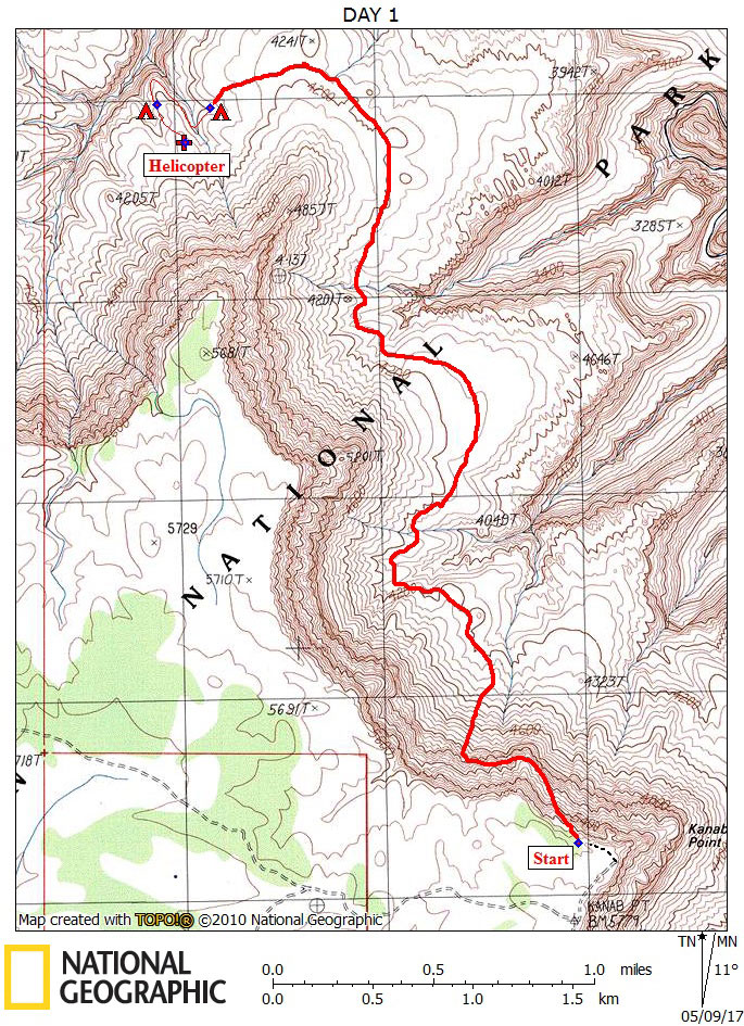
Day 1

April 23, 2017

Kanab Point Trailhead to Scotty's Hollow


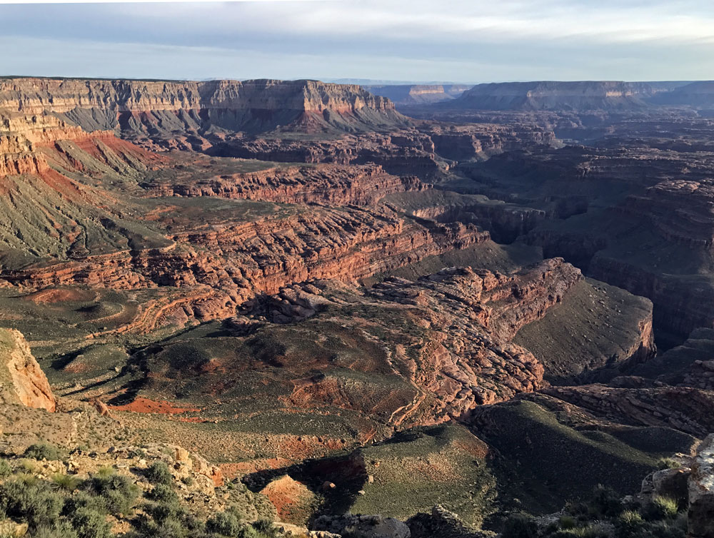
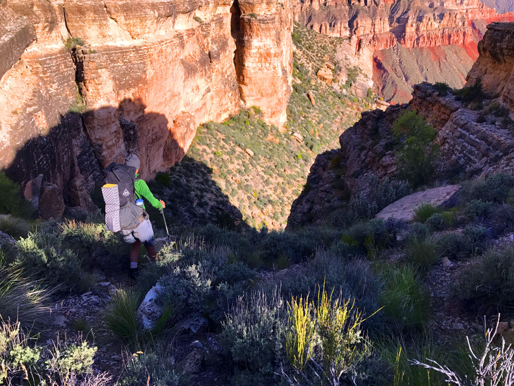
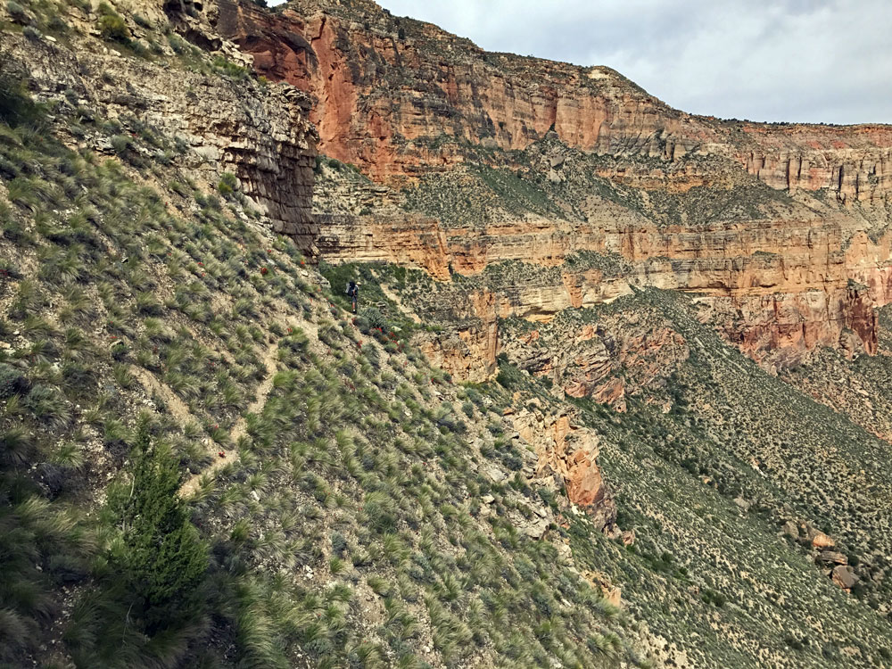
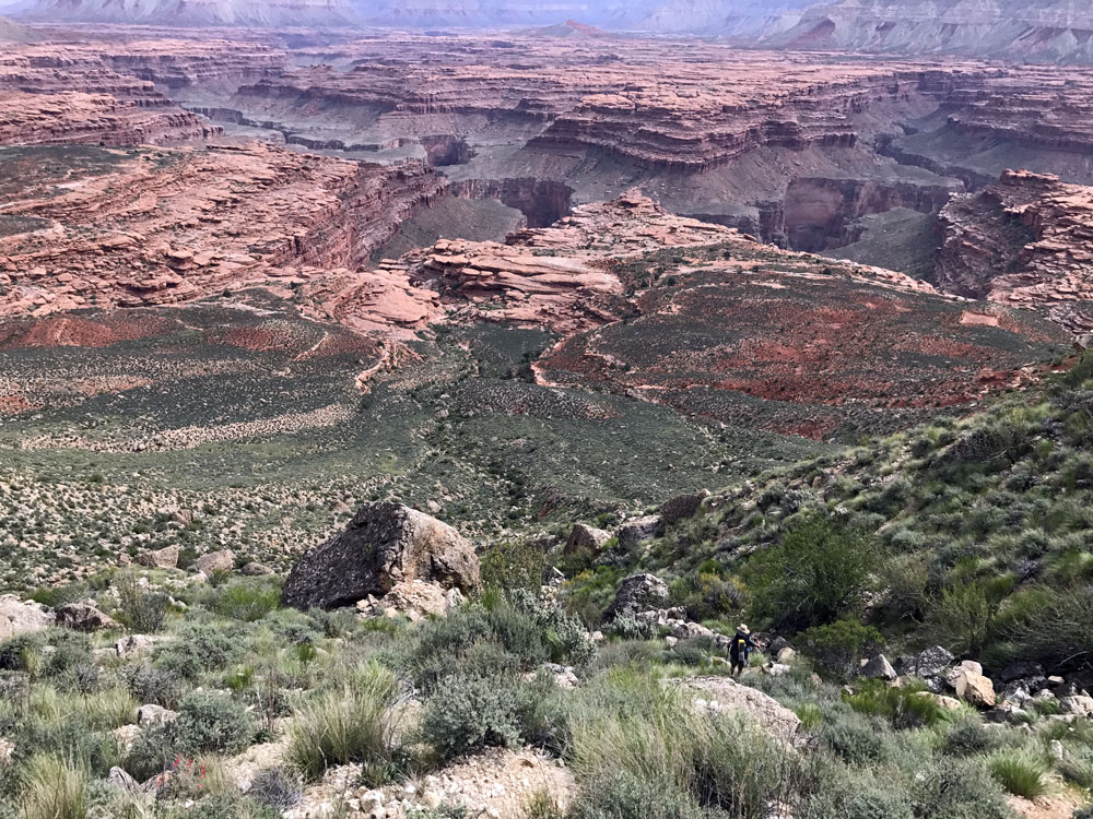
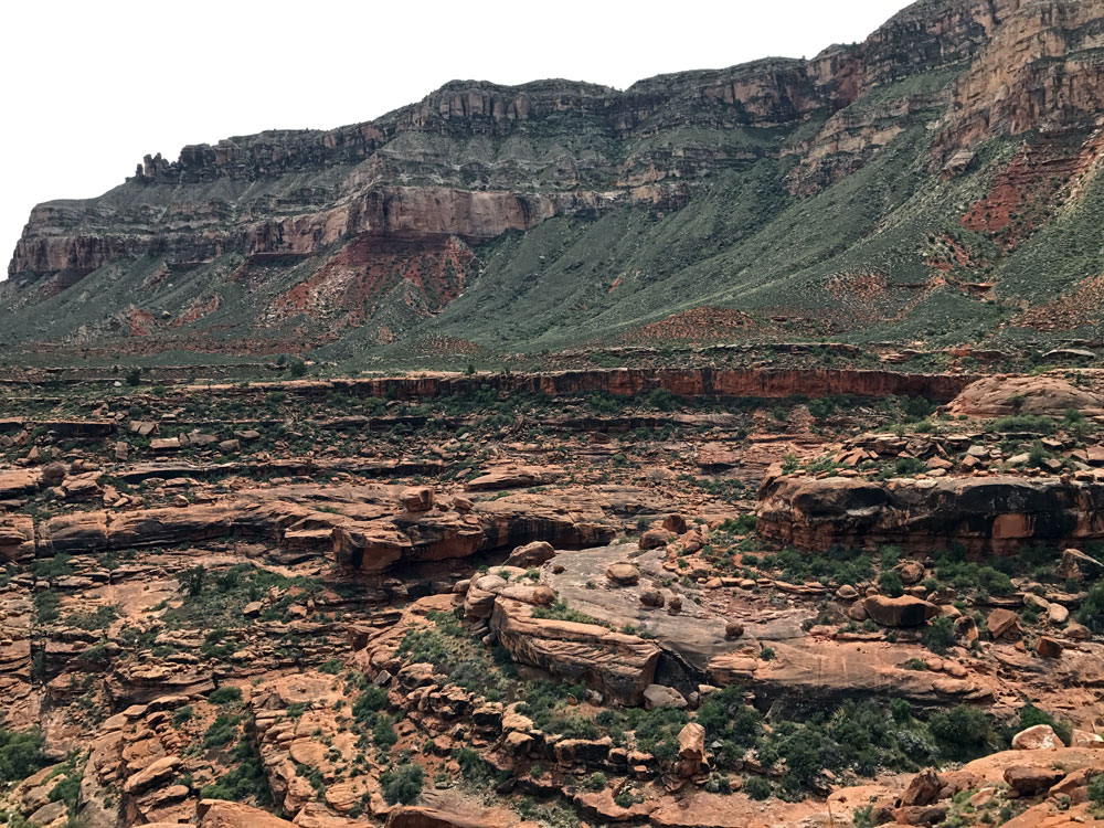
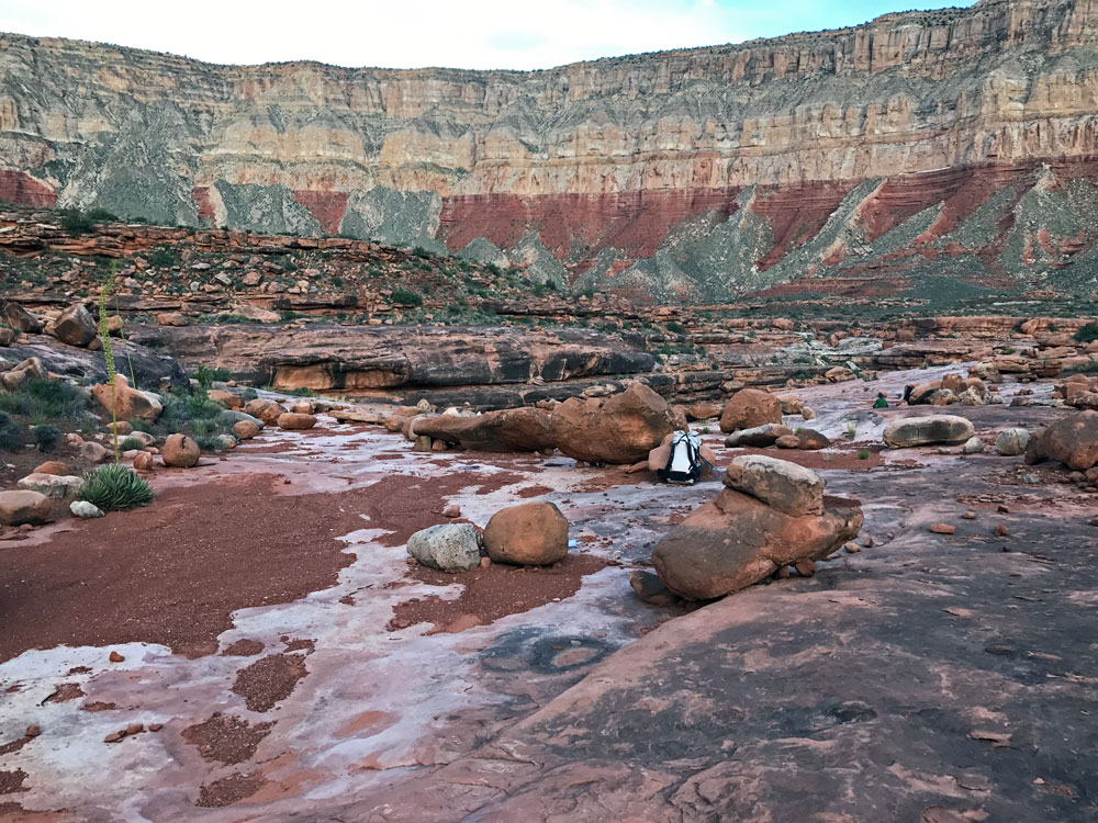
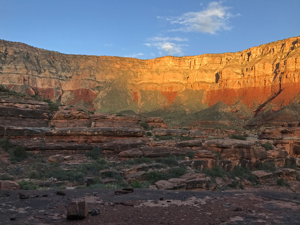
Click on photos to see larger image.

Today's route stats: 

    Distance:  4.5 miles (estimate)

    Elevation Gain:  300 feet

    Elevation Loss:  1900 feet

This morning, after eating breakfast, we packed up and drove the three or four miles to Kanab Point.  The views from Kanab Point were incredible. 

A good description of the trail, from George Steck's Grand Canyon Loop Hikes II, follows:

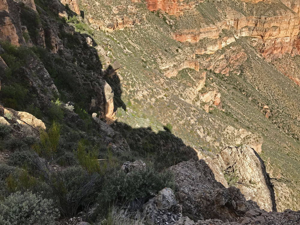
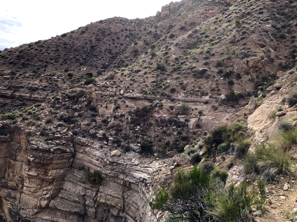
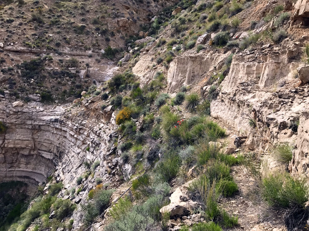
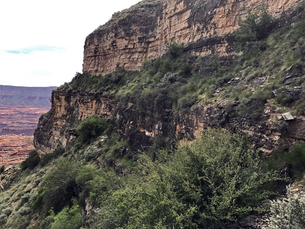
The trail, probably originally designed for stock, is now nothing more than a fairly good game trail.  It starts down a small drainage a few yards west of the end of the road.  The drainage steepens abruptly and the trail goes down 60 feet or so to a tiny valley parallel and follows its length until it, too, steepens abruptly.  After a diagonal descent of 100 feet or so, we were faced with the problem of getting through about 20 feet of crumbly cliff.  This was our first real obstacle.  Get down it as best you can and, from my recollection, earlier is better than later.

From here we contoured/angled down to the northwest to a small promontory where there was an old weathered pickax.  The route to the point is somewhat indistinct, but beyond it the trail is well defined.  It continues steeply down a sandy hillside 100 feet or so to a small cliff and contours west on the edge of this cliff to the long talus runout leading to the Esplanade. 


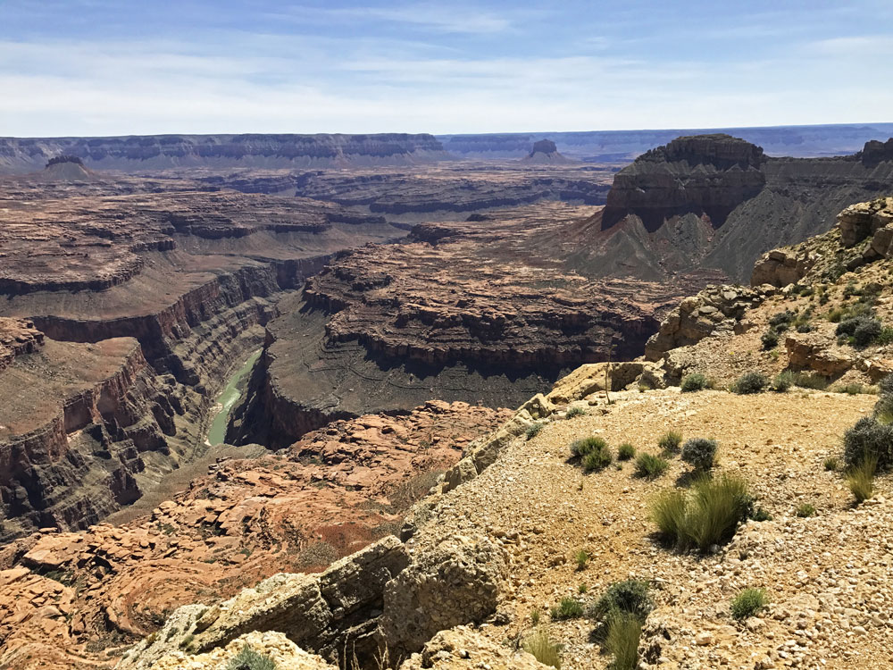
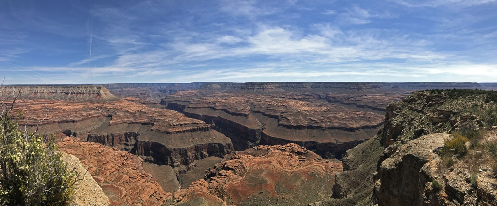
Kanab Point Panorama Overlooking Confluence of Kanab Creek and Colorado River.


View From Kanab Point. View From Kanab Point. Beginning of the Kanab Point Trail.


There was only one place on the trail where we were pretty confused.  Near the middle of the rather long traverse, the trail faded away and we were left with a choice of either climbing a bit higher to a rock outcropping, or dropping down a bit.  I convinced Ben that we should go high, but that turned out to be a mistake.  We were able to continue and meet up with the lower route, but I think we missed seeing the old pickax as a result.

 
The Trail Begins to Steepen. Trail Contours Above Cliffband. Kanab Point Trail.
 
The trail Follows Ledges. The Trail Finally Reaches Top of Talus. Hiking Down Talus Slope to Esplanade.


Once we reached the Esplanade, the hiking became much easier.  All we had to do was contour around all the side drainages until we got to south arm of Scotty's Hollow.   After about an hour of hiking on the Esplanade, I started getting pains in my mid back -- not in the center, but closer to my kidneys.  The farther I hiked, the more painful it got.  The only thing that seemed to make it feel better was double over.  I would stop every hundred yards or so and then bend over to get some relief.  By the time we were approaching the south arm of Scotty's, the pain was becoming debilitating.  The pain was now both in my back and gut.

We stopped at a flat slickrock area and decided to stop there and look for water.  I waited while Ben hiked down a side drainage.  He soon returned with the news that there was a small pothole with maybe only 2 or 3 gallons of water.  But that would do, so we decided to stay put and set up camp.  We could see down into the main south arm of Scotty's but didn't see any water.

We didn't need the pothole water until dinner.  It was a pretty gross pothole, very shallow with lots of organic material.  We strained out all the large pieces, then disinfected it.  I filtered a quart for drinking and discovered that it tasted awful -- very bitter.  We wondered whether this taste could come from arsenic (later learned that arsenic is basically tasteless).  It was so bitter than it pretty much ruined our freeze-dried dinners. 

If I was laying down or sitting, my back pain almost disappeared.  So I was able to sleep pretty well.

As usual, I listened to an audio book for a while after going to bed.  I continued to listen to Sapiens: A Brief History of Humankind by Yuval Harari. 


Looking Back Toward Kanab Point Trail. Our First Campsite. Morning Light at Our Camp.


Back to Main Trip Index Back to Trip Index Back to Preface Forward to Days 2 & 3