|
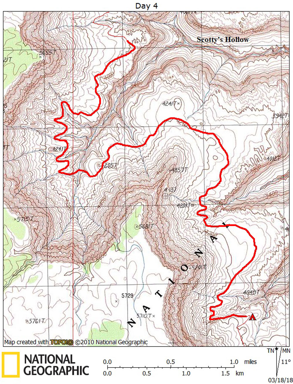
Day 4 March 8, 2018 Back to the Bottom of the Kanab Point Trail |
 |
|
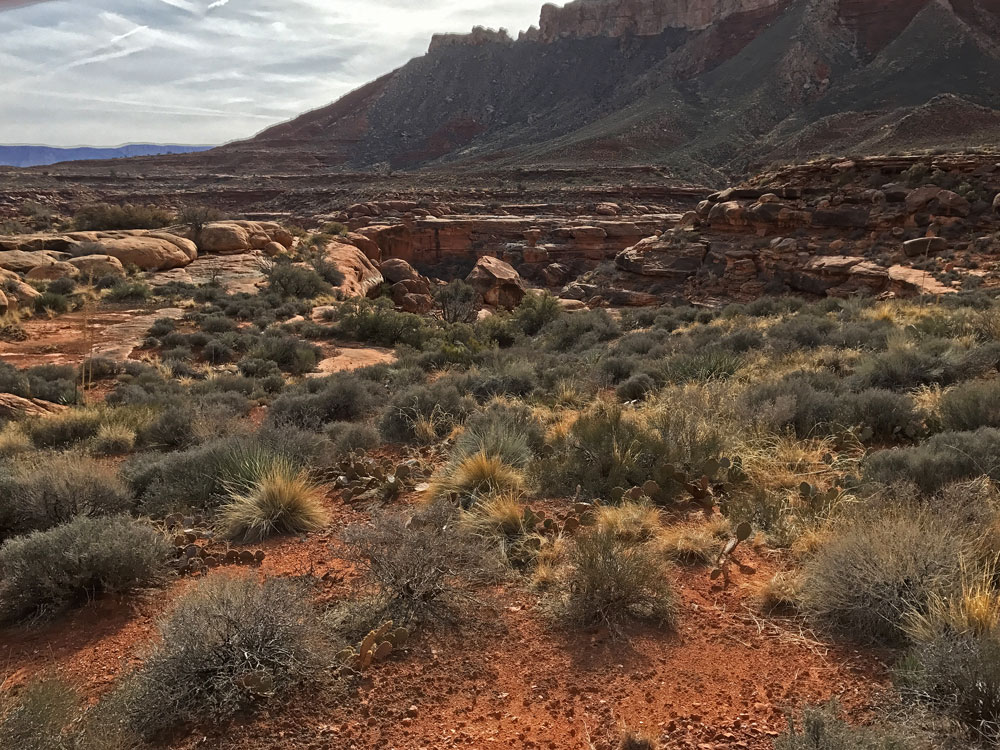
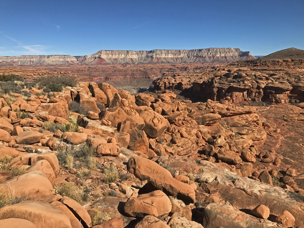
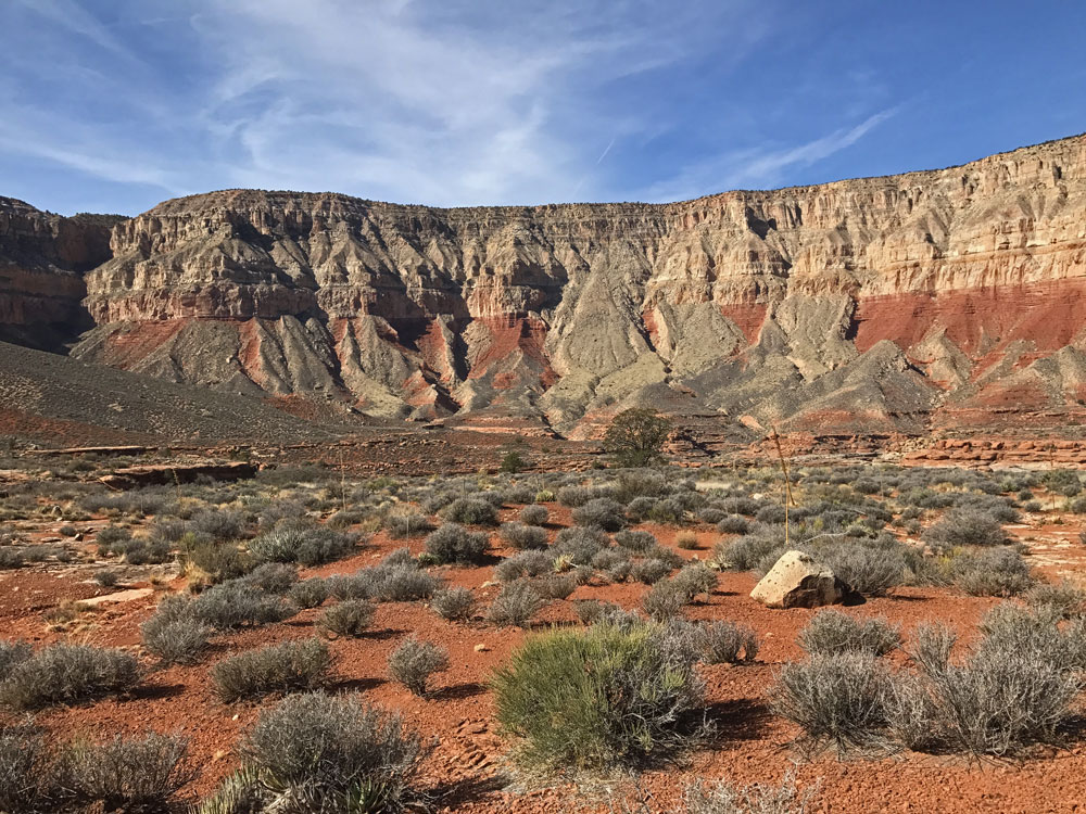
Click on photos to see larger image. It didn't rain last night and this morning was mostly clear and sunny. Now that I would be heading back, I was much less enthusiastic. I was also a little disappointed not to have found any rock art. It would be slow and tedious, and a bit longer than Day 2 because I needed to return to my cache location at the bottom of the Kanab Point Trail. I started out with only about one liter of water. Although I wasn't trying to follow the exact same route I used two days earlier, I kept running into my old tracks. I passed a couple of potholes early in the morning, then nothing for quite a while. I figured I could always get water at the small pothole in the main arm of Scotty's, where I got it two days ago, above the chockstone blocking easy access to larger potholes below. When I got there the small pothole was dry. I didn't want to risk climbing down to the large potholes, so I continued on. By the time I came across another pothole, I was almost back at camp. Thankfully it was cool and I wasn't consuming much water. |