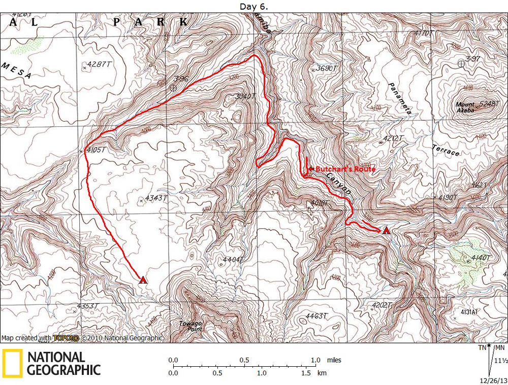
Day 6

March 19, 2008

Aborted Attempt to Backpack Down Matkatamiba Canyon


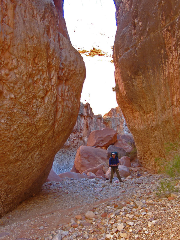
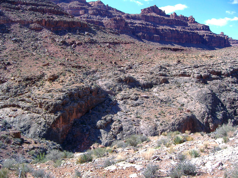
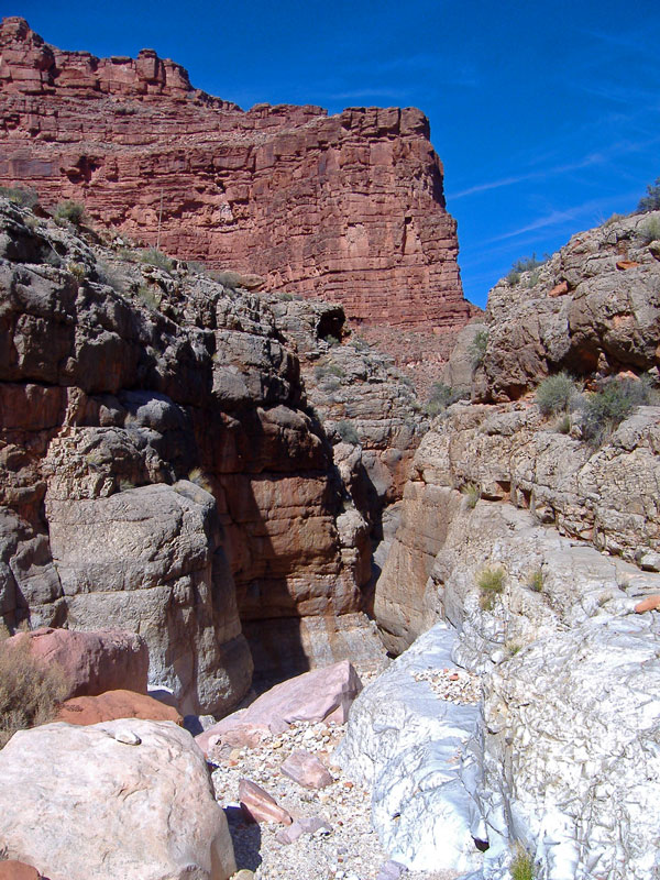
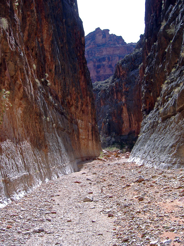
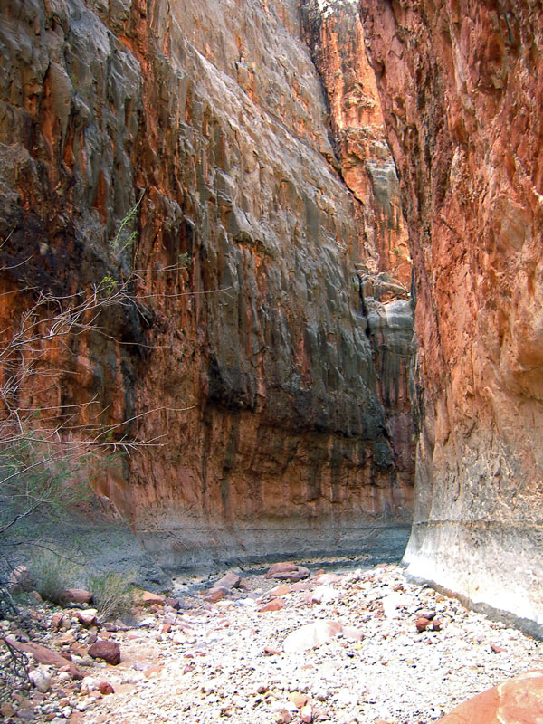
Click on photos to see larger image.

This was the day I had been looking forward to for many years.  We were expecting an easy 4-mile stroll down Matkat to the Colorado River and our cache.  We began by heading straight down the main drainage in Matkat.  After only 10 or 15 minutes we came to a large chockstone that blocked the drainage.  I dropped down, with the help of a handline, and headed down the canyon looking for any other problems while George stayed above the chockstone.  I soon ran into another drop that was extreme, so I turned around, figuring we would just hike over to Harvey's route and drop down there.  Well, I almost didn't get out of the canyon at all.  It took a huge effort for me to get back up to George.  At that point I fully realized that I was not the climber I used to be (and I never was very good), and that we needed to be more careful about dropping over difficult chockstones.  So off to Harvey's route.


George in the Bed of Matkat. View of Harvey's Route into Matkat. Pour-Off in Main Drainage of Matkat.


It took us approximately an hour to get to Harvey's entry point, and perhaps only 15 minutes to make our way down to the canyon bottom.  On the way we continued to look for Tom Martin's exit route on the opposite side of Matkat, but still didn't see anything.  But there were several sections that we couldn't get a good look at, so we probably just missed it.  We found a nice spot in the shade and ate half of our last lunch.

We soon began to stroll down the gravel-bottom canyon in high spirits.  This is what I had been waiting for all these years.  It is a spectacularly narrow, deep, and steep-walled canyon.  But in about 10 or 15 minutes we came to another chockstone.  George was up ahead and called back to me that it looked really bad.  My heart sank.  There was a 20-foot overhanging pour-off with nothing but smooth rock all around.  I suspected that this was the pour-off that Tom and others had mentioned, and if so, it was probably the only significant obstacle for the rest of the descent.  But we didn't know for sure.  The canyon bottoms change after every flood, and we suspected this was much more of an obstacle than others had encountered.  But even if others had been able to climb up this chockstone, I knew we were not capable of doing it, even with webbing.


Matkatamiba Canyon.

Matkatamiba Canyon.

At this point our options were limited.  George and I both had a little leftover lunch and snacks, enough to make one or two meals.  The thought of hiking back the way we came, without much food, was sickening.  The thought of dropping down the chockstone and getting trapped was even more sickening.  We had a satellite phone with us, but it would most likely be useless in the deep, narrow canyon bottom.  We considered hiking around to the other side of the canyon and finding Tom's route down, but that would take the rest of the day, but we weren't sure we could find it.  And if we did, we didn't know if it was above or below the chockstone.  And then we would be completely out of food.  So with extreme angst, we decided to backtrack the way we came. 

We had enough water to make it back to the spring in the fault ravine where we could load up with more water.  We figured we could make it out of the fault ravine and onto the Esplanade before it got dark.  So at the spring we loaded up with 6 liters of water each, and started hiking back up to the Esplanade.   It was getting pretty dark when we topped out on the Esplanade.  We hiked another mile or so in the moonlight before stopping for the night.  We thought that we might be able to continue hiking with the light from the almost-full moon, but it was just too difficult to plan our route around the maze of side canyons without being able to see distant objects better.


Back to Main Trip Index Back to Trip Index Back to Day 5 Forward to Day 7