Day 5 April 7, 2013 Lava Creek to Unkar Creek |
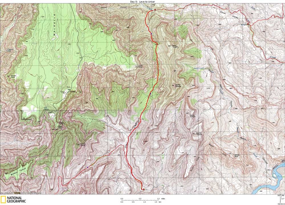
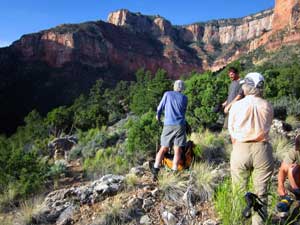
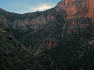
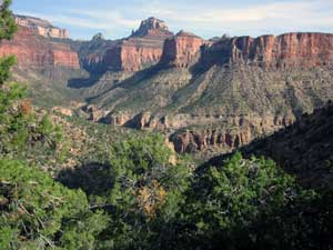
Click on photos to see larger image. Today's route stats: Distance: Difficult to determine off-trail miles, but probably about 7. Elevation Gain: 1800 feet Elevation Loss: 800 feetEveryone was expecting today to be one of our hardest. Last year the group hiked straight up the main drainage to Juno saddle, which was extremely difficult (required webbing) and very time-consuming. Bert and I did a lot of pre-hike research to make sure we would follow the easiest route this time. The "trick" was to find a steep chute to the far right of the main drainage. I was confident we would find it. Again we got up very early and started hiking at 6:45. I started out with almost a gallon of water. We continued up Lava Creek for about 10 minutes, past the drainage the leads to Juno saddle. This drainage has impassible cliffs in the Tapeats sandstone. We found a break in the Tapeats, and although steep, was not too difficult -- probably Class 3. |
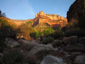
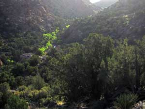
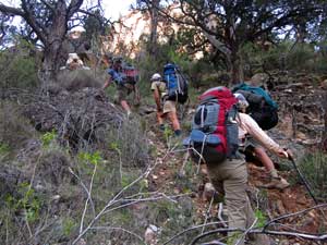
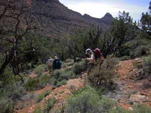
We had gained 600 feet when we finally topped out above the Tapeats. From there we contoured down into the main drainage, trying not to lose too much elevation. Because of the dense vegetation in and around the drainage bottom, it was difficult to see much of our route. On the map we knew were we wanted to exit the drainage and head for the steep chute on the right, so we used GPS to determine exactly where we were. The climb was very steep, with lots of vegetation to deal with. I didn't take any photos during most of this climb, as is often the case when traversing difficult terrain. |
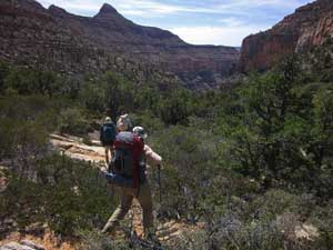
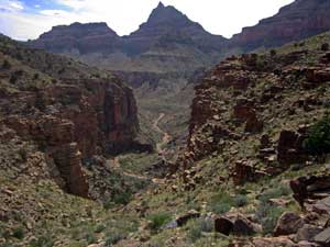
We reached Juno Saddle around 11 am. After a short water and snack break, we began the long descent of Unkar Creek. Although the stream bed was very rocky and brushy in places, it was a relief to be over the saddle and heading downhill. |
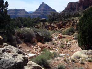
At around 2 pm, after almost 3 hours, we reached the top of the Tapeats and a huge pour-off. We bypassed the drop-off by climbing up to the left and we were back in the drainage in about 30 minutes. Once below the Tapeats, the canyon opens up and the hiking was very easy. We were hoping to find water in the open valley where the canyon that we will hike up tomorrow joins Unkar. But no such luck, so we continued down Unkar. The first water we came to was 1-1/2 miles down Unkar, and it was only a trickle in the stream bed that lasted only about a hundred yards. We dropped our packs and continued down the canyon, hoping to find a better water source. After 15-20 minutes of fast hiking, no water was found. So the trickle would have to do, and it did. So all was good, except, of course, for the ubiquitous gnats. |