Day 4 April 6, 2013 Pickup Cache at the River, Then Up Lava Canyon 3 More Miles |
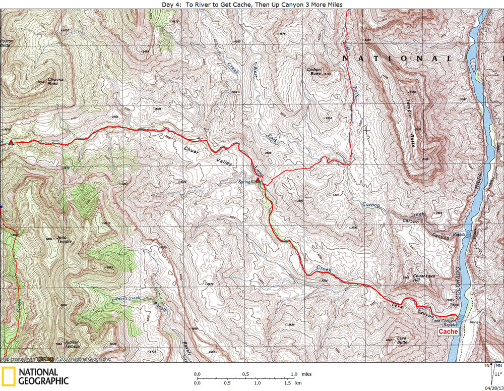
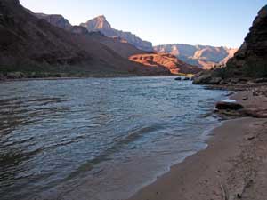
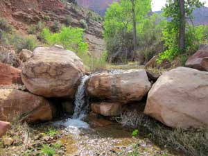
Click on photos to see larger image. Today's route stats: Distance: Six easy off-trail miles, round-trip, to the river to retrieve cache, then up canyon 3 more miles. Elevation Gain: 1700 feet Elevation Loss: 700 feetToday was expected to be our easiest day. We slept in until sunrise, ate a leisurely breakfast, then five of us took our empty packs and headed down-canyon to retrieve our cache at the River. Ben and Jim elected to stay behind. We started hiking around 7 am. It is an easy 3 miles, and 700 foot elevation loss, to the River. It took us about an hour and 15 minutes. Lava Creek was flowing the whole way. |
Bert and Jim arranged for our group cache, which consisted of one 5-gal paint can. There was no room for any personal food, so I arranged for a small, personal cache to be placed here too. Mine consisted of one 2-gal can. I had more room than I needed so I added extra energy and protein bars. I left about a dozen of them for Barry Morenz, who would be leading a large group through here in a few days. |
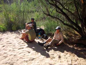
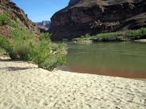
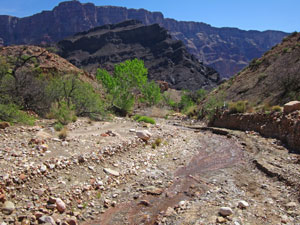
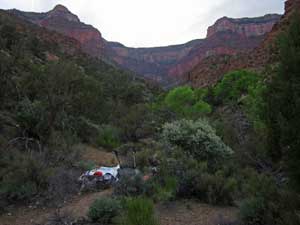
We hung out on the beach for a couple of hours. We got back to our camp at Still Spring around noon. We were packed up and on the move by 2 pm. The riverbed gets more rugged and a little steeper the further up-canyon you go. We wanted to hike up Lava to near the place where we leave Lava Creek and start heading up to Juno saddle. We reached the area in about 2 hours. Good places for 7 people to camp were very scarce. We searched around for quite a while before settling on a marginal campsite. We all hit the sack early (before dark), anticipating that tomorrow would be one of our hardest days. Although I can't remember exactly where, somewhere in Lava we encountered our first rattlesnake. It looked like a Grand Canyon Pink, but I'm no expert. |
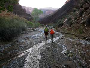
Hiking to Upper Campsite in Lava Creek. |
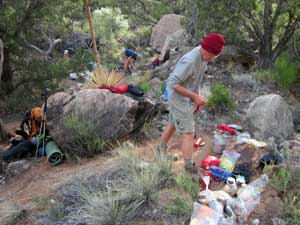
Jim Starting to Prepare Dinner. |
My Cramped Home in Upper Lava. |