|
Day 2 October 21, 2011 Solo Exploration: Lava, Chuar, and Carbon |
 |
 |
|
Day 2 October 21, 2011 Solo Exploration: Lava, Chuar, and Carbon |
|
|
|
|
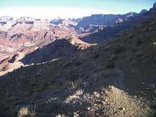
I left a cache in a RatSack containing a breakfast, lunch, and
dinner for the last night of my trip. I was going to leave a liter
of water, but I used more than I figured I would on the hike down
and during the night. I was on the trail at 7:30, carrying only one
liter of water. Although my pack felt much lighter, the trail
is very rough and steep as it descends the Redwall. |
 |
 |
 |
 |
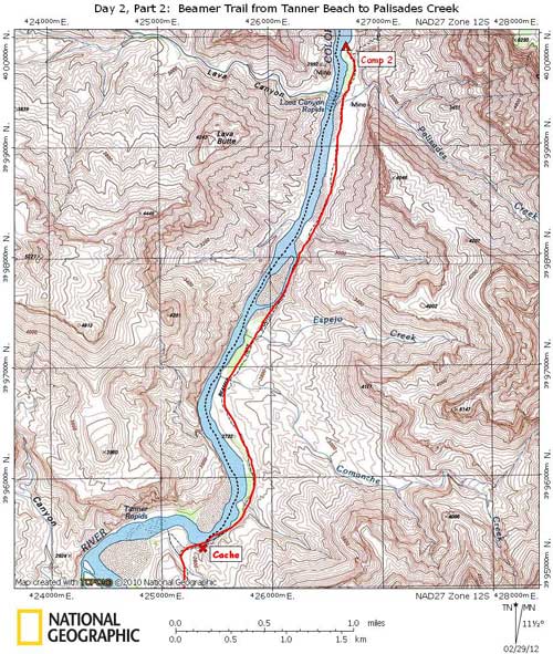
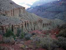
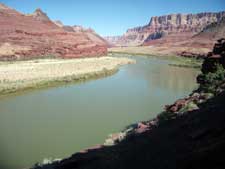
| Rough Trail Thru Redwall | Redwall in Morning Light | Muav Cliff Below Redwall | Lower Section of Tanner |
|
|
 |
 |
 |
 |
|
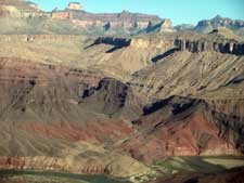
View of Basalt Creek Drainage |
Approaching Tanner Beach |
View From Near Tanner Beach |
Waiting For Boats at Palisades |
|
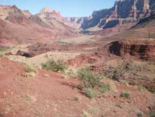
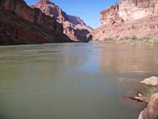
I spent about 1-1/2 hours at Tanner before heading NE on the Beamer Trail. It is about 3 miles to Palisades Creek. The trail was named after Ben Beamer, a farmer and miner during the early 1890s. The trail connects the Tanner Beach to the mouth of the Little Colorado River. It is near Palisades Creek where the Horsethief route crossed the river and headed up Lava Canyon. Of course crossing the river was only possible before the dam when the flow rate was often very low. I’ve done this trail 3 or 4 other times, two times on a Hopi Salt Trail to Hance/Red Canyon hike. Although it was very warm, there was a nice breeze. Still, I took my time. I stopped for a very long shade break about an hour from Tanner. The trail is mostly flat as it follows the river bank, with only a couple of short climbs up and over places where the river bank is pinched off by cliffs. I arrived at Palisades Creek around 15:00, but continued on just past where the Beamer Trail climbs up onto the Tapeats Sandstone. It was difficult getting to and finding a nice place where I could get a good view of boats coming from up-canyon. It wasn’t a great place to camp either, but it was where I needed to be. Before the hike, I asked Tom Martin, author of Day Hikes From the River, where I should be to best flag down a river trip, and this is where he told me. He didn’t think I would have a problem since usually two river trips launch every day this time of the year. And although I was only at River Mile 65, it was possible that groups could be bunched up by then and I could have a long wait. At 17:30 I started dinner and prepared for bed. Not much chance of a boat coming by this late. |