Day 3

October 22, 2011

Solo Exploration:  Lava, Chuar, and Carbon


I got up at 6:30 after an unusually great night’s sleep.  I was slow getting breakfast and packing up because I knew boaters have a hard time getting going before 9:00.  I wandered around for a while, taking pictures. 
 

View Looking Down River View Looking Down River View Looking Up River


I sat on the river bank, looking up canyon, until 12:15, when an Oars commercial trip came by.  I stood on the bank waving my arms and hiking sticks, acting like a complete lunatic, but not wanting them to miss me.  When they pulled up they were relieved that it wasn’t a medical emergency.  I figured I had spent 22 hours on that beach waiting for a ride.  I was beginning to get pretty worried.  I figured if I didn’t get a ride by 14:00 I night not make it to my preferred destination tonight (a 
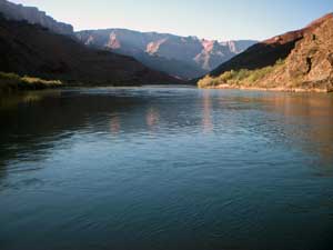
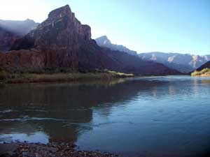
spring about 3 miles up Lava Creek).  They were happy to shuttle me across to Lava beach, where they were all heading for lunch.  They invited me for lunch, but I declined as I was in a hurry.  They did give me a beer and an apple, for which I was very grateful.  The head boatman was Rondo Buecheler from Palisades, Colorado.  He owns a bike shop there.

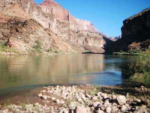
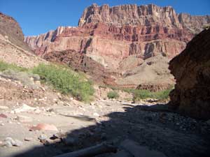
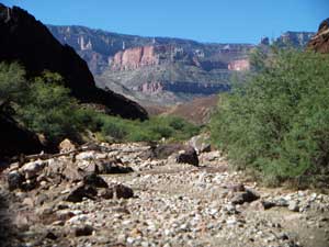
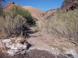
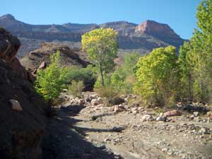
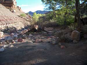
Once I got into the streambed of Lava, I was surprised to see fresh footprints.  It looked like two people had walked up the canyon, then back down.  There was a good flow of muddy water coming down Lava.  Although warm (my estimate was low 80s), the hiking was very easy, especially considering that there was no trail.  The hiking was almost entirely boulder hopping in the stream bed.  After one mile I passed the drainage that leads over a small ridge and down into the Carbon drainage.  I stopped here to eat my apple.  Boaters often hike up from Carbon, over this saddle to Lava, then down Lava to the river where their boats await them. 
 

Looking Up Lava Canyon Looking Up Lava Canyon Butte Fault Cutoff to Carbon Canyon


Just a little farther up Lava is a spring area that I thought was known as Still Spring.  Near Still Spring there is supposed to be a grinding wheel that has been encased by a growing Cottonwood.  Apparently it is called Still Spring because it has been reported that moonshiners camped here and made moonshine.  I walked by without noticing anything unusual.  It wasn't until several months after my hike that I found out that Still Spring is farther up-canyon.
 

Spring Area with Cottonwoods Supergroup Stream Cut Bank Camp at Still Spring in Lava Canyon


At around 15:30 I arrived at the upper spring shown on the Topo map.  This is Still Spring, but I didn't know it at the time. The spring is actually located about 500 feet up a small drainage that comes in on creek right, but there was a small flow of good water all the way to Lava Creek.  Apparently the grinder is located only a few yards down-canyon from my campsite, but I never noticed.  I suspect it is located in the Cottonwoods that are visible in the distance in the upper right photo.  It was obvious that someone had camped here very recently, and I had followed the pair of footprints all the way to camp.   It was a very nice place, but probably only good camping for two or three people.  The mosquitoes were not a problem, so I didn’t set up my tent.  I listened again to more of Steven Pinker.


Back to Main Trip Index                    Back to Solo Trip Index                   Back to Day 2                    Forward to Day 4