Day 5 November 1, 2012 Escalante Route: Cardenas Beach to 75-Mile Beach |
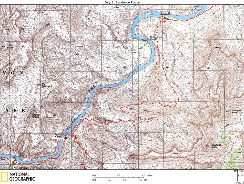
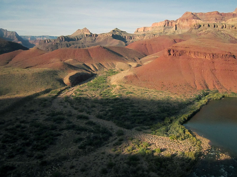
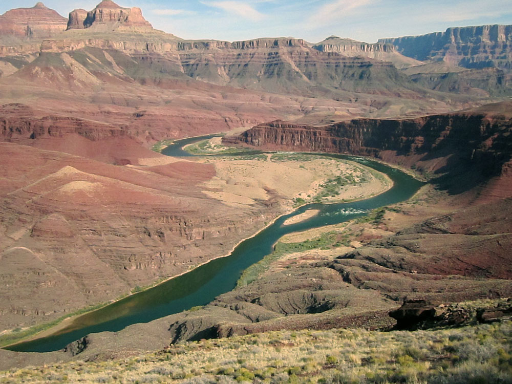
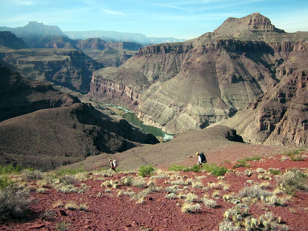
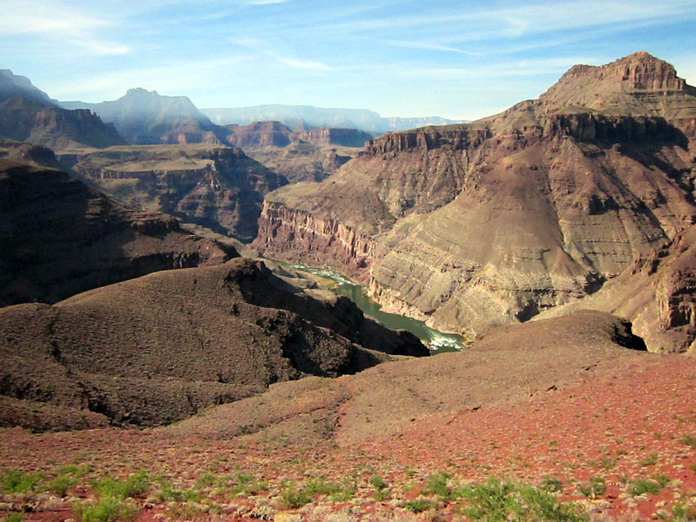
Click on photos to see larger image. Our route today is along the Escalante Route to 75-Mile beach. The Escalante Route was only a very faint track when I first hiked it in 1991. It is now a pretty good trail with no significant route finding problems to deal with. We got an early start again today, and the weather was again perfect for hiking. The route begins by hiking up to the Hilltop Ruin, about 300 vertical feet above the river. This ancient ruin looks like it may have been a lookout because it affords excellent views both up and down the Colorado. Then we took a small detour to the top of the cliff overlooking Unkar Rapid and delta. The delta is off limits to rafters and hikers because of the abundance of ruins. We could make out the faint outlines (foundations) of many rectangular rooms. |
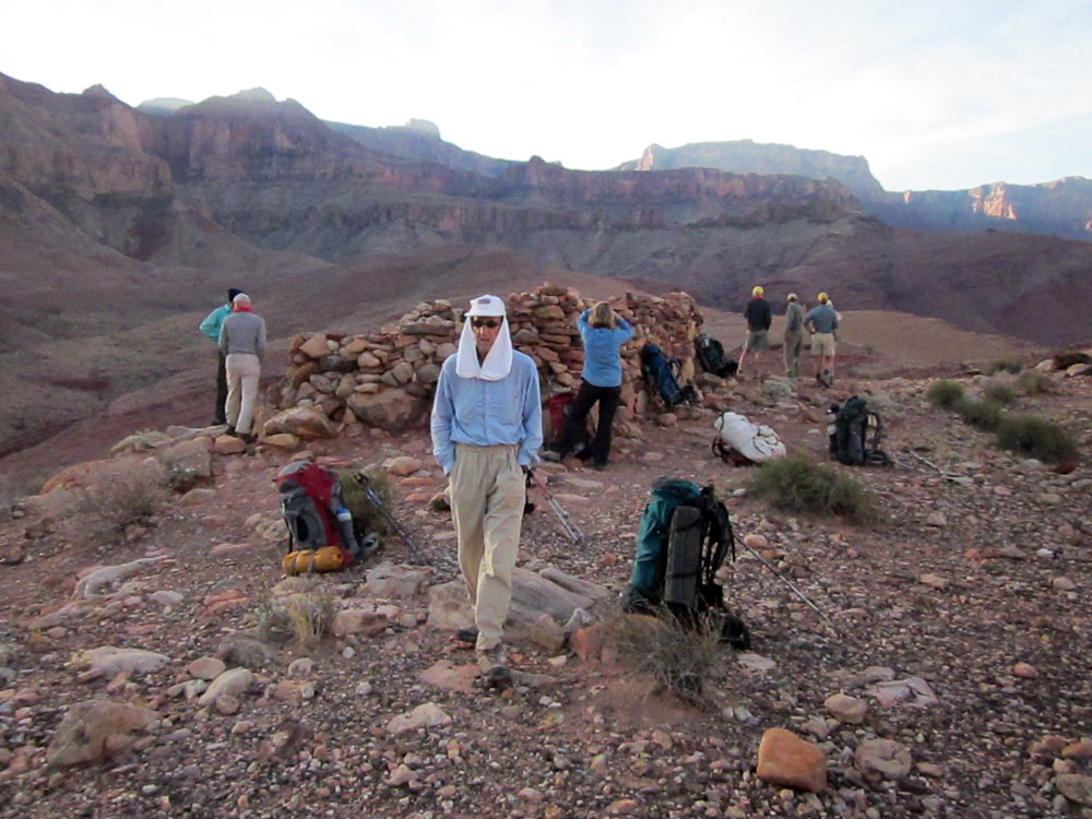
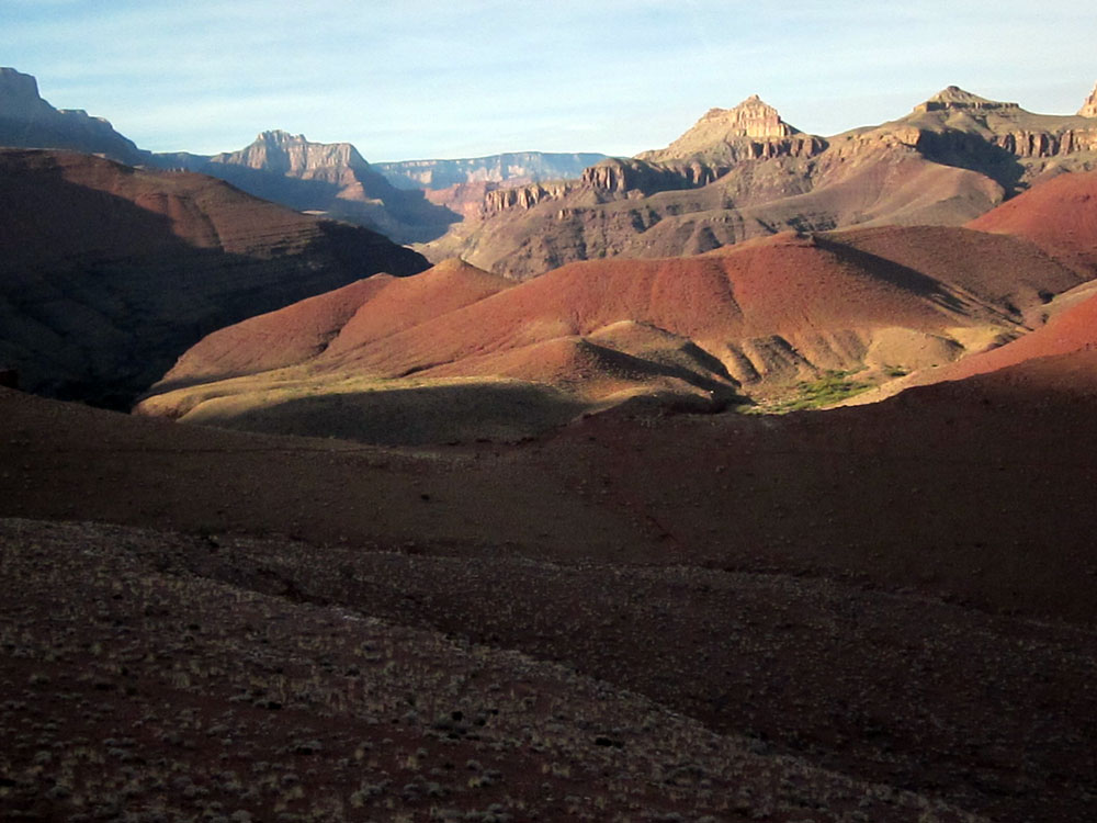
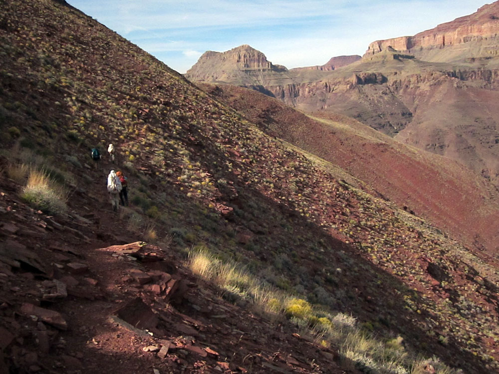
From the Hilltop Ruin we continued to follow a pretty good trail that climbs a gently-sloping ridge. Eventually the ridge ends at a steep face of another jagged ridge descending from near Escalante Butte. The trail turns west and contours over and around this ridge, then down the other side into the Escalante drainage. The views were spectacular. |
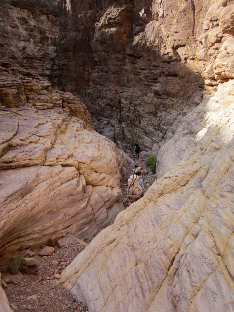
The route drops down Escalante Creek, with one major bypass to avoid pouroffs, to the Colorado River. Once at the river, the route heads down-canyon following a slowly rising ramp. This ramp continues to a point several hundred feet above the mouth of 75-Mile Canyon. We continued on this ramp as it contoured into 75-Mile Canyon. After about half a mile, the floor of 75-Mile Canyon had risen to meet the ramp where we could get to the canyon bottom and follow it to the river. This section of 75-Mile Canyon, cut into Shinumo Quartzite, is narrow and spectacular. We walked a few hundred yards down-river to a nice beach campsite where we would spend two nights. |