|
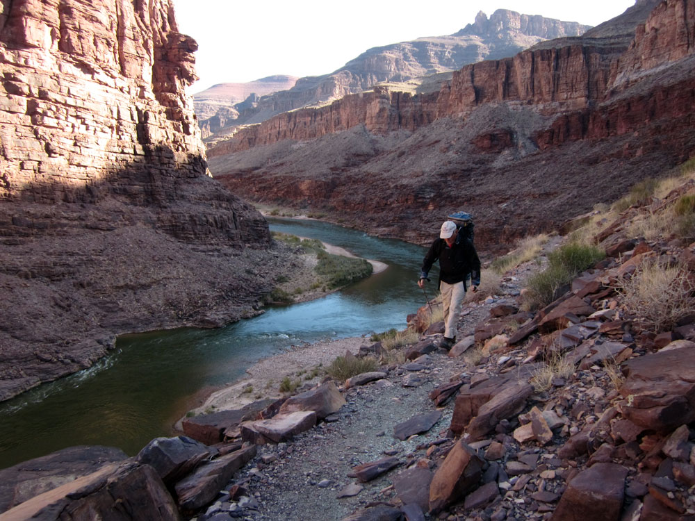
The Tonto Trail
begins at Hance Rapids and heads west, staying on top of the Tonto
Platform, all the way to Garnet Canyon, about 75 miles down-river.
With time to kill, some of us hiked out and back along the Tonto
Trail for a ways.
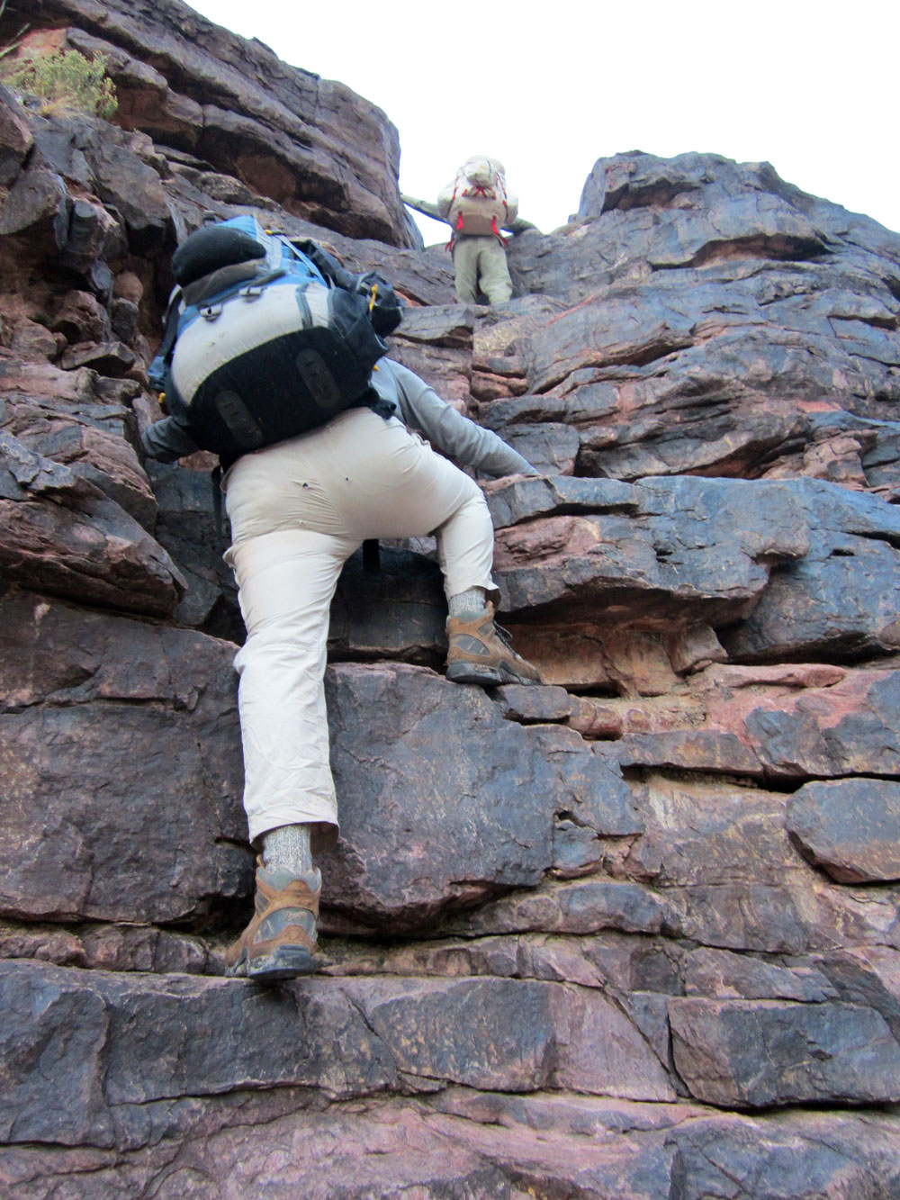
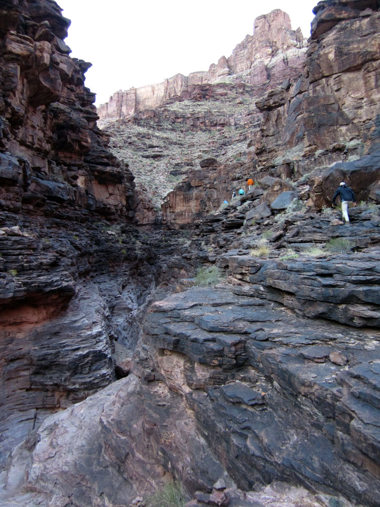
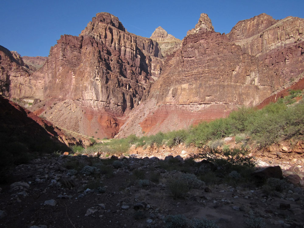
In mid-afternoon
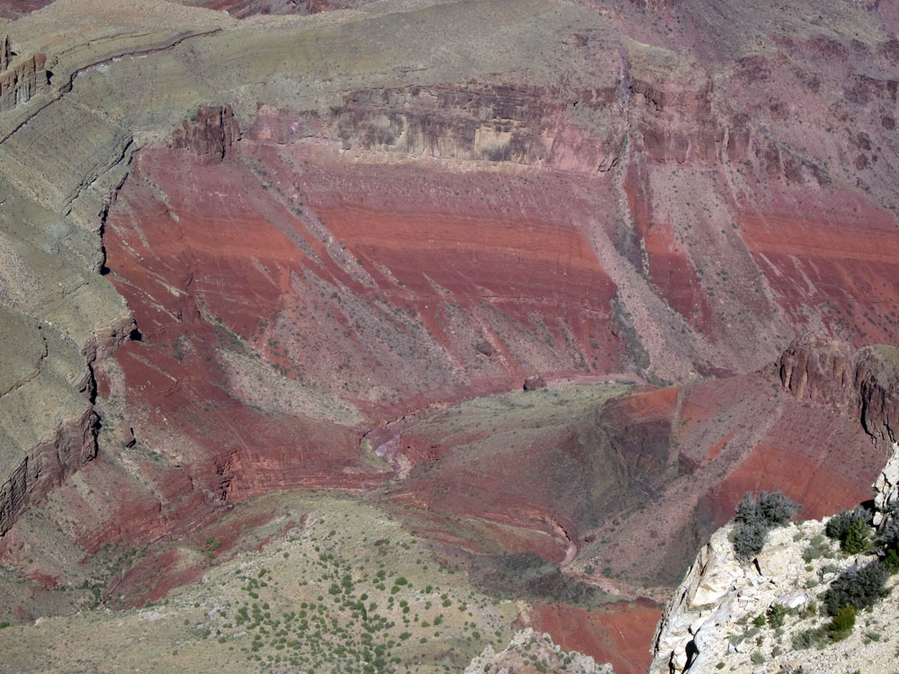
we headed up Red Canyon, on the New Hance Trail, to a spring located
about 1-1/2 miles from the river. The trail follows the canyon
bottom here, so it is virtually non-existent -- destroyed by
frequent flash floods. When I arrived at the spring location,
I was surprised that it was dry. I had camped here several
times before and there had always been a nice flow of water.
However, I knew the actual spring begins a several hundred yards
up-canyon from the campsite. So I headed up the canyon looking
for water. Water began to surface after about 10 minutes of
walking, and in another 5 minutes I came to some nice pools with a
small flow of water connecting them. According to the Park
Service, this spring contains arsenic that slightly exceeds
municipal water standards. We figured a few liters of this
water wouldn't harm us.
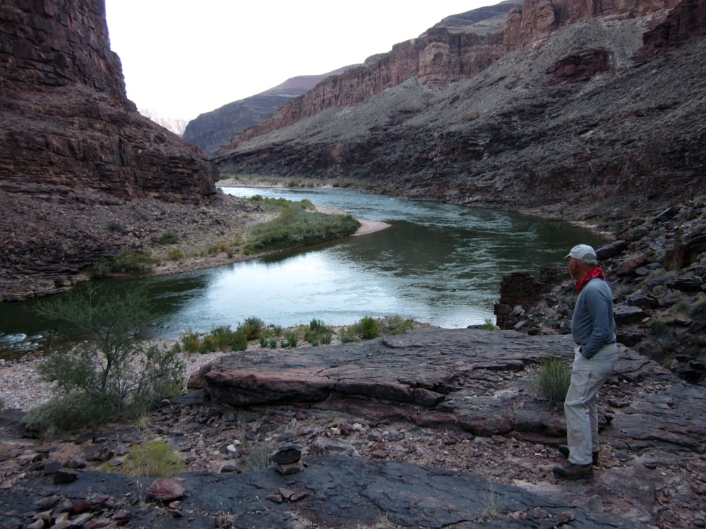
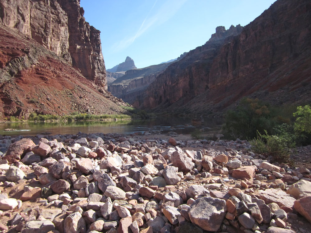
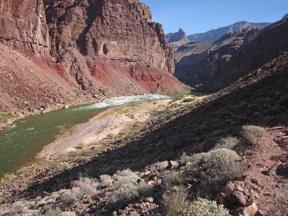
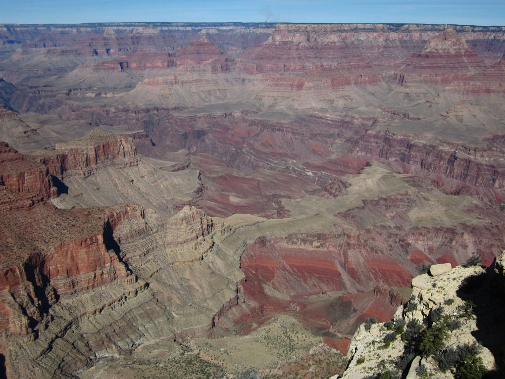
Our campsite was
located at a very large rock in the creek bed. This rock can
be seen from the rim at Moran Point. It was a little tight for
9 people, but we made do. |