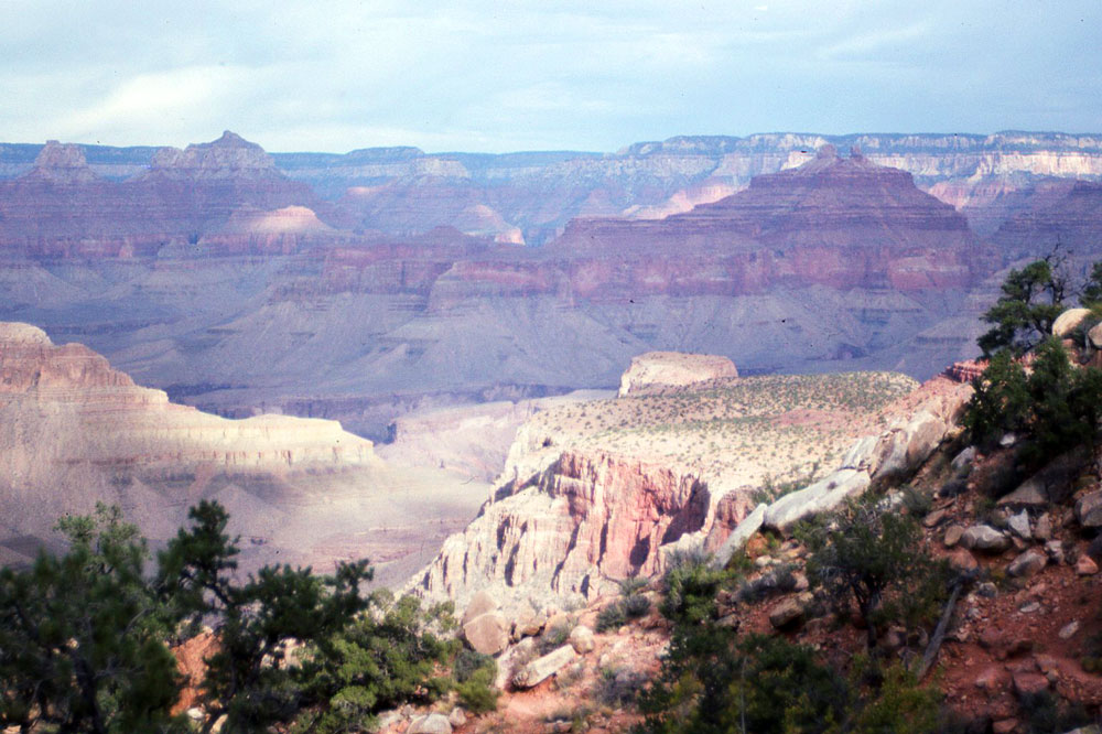
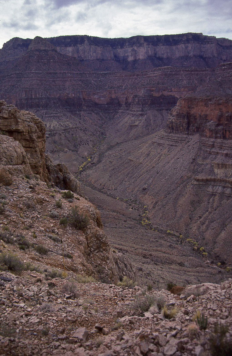
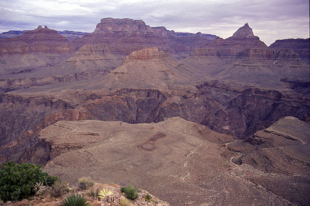
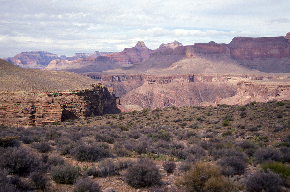
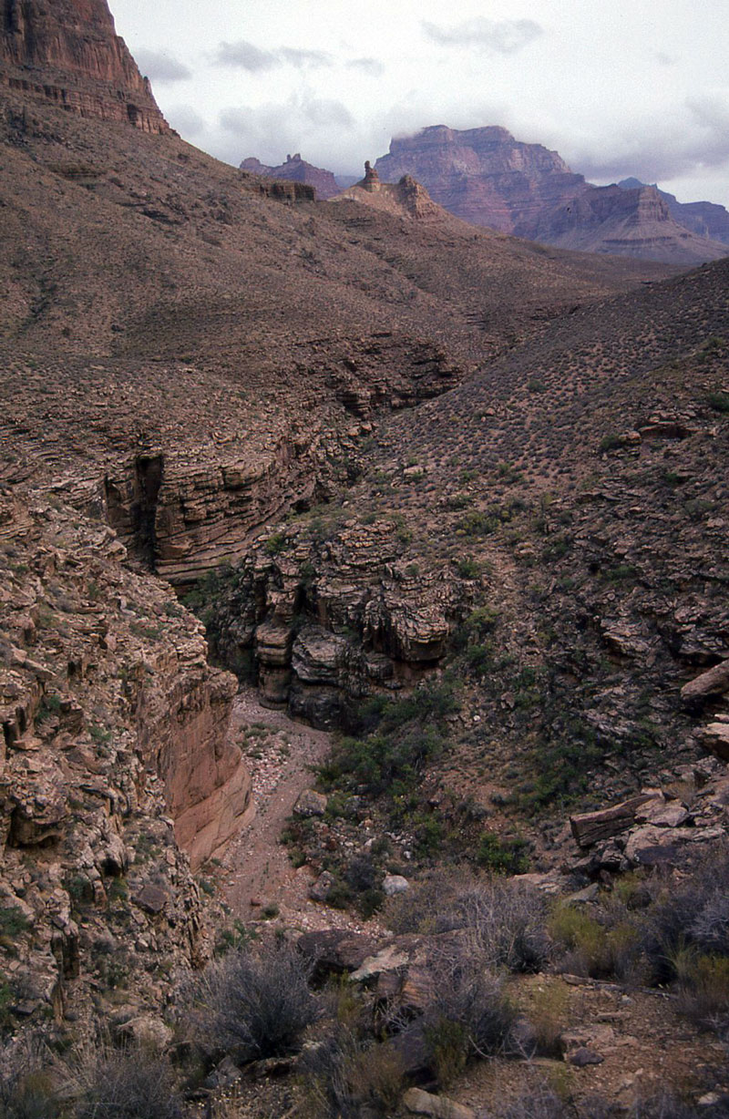
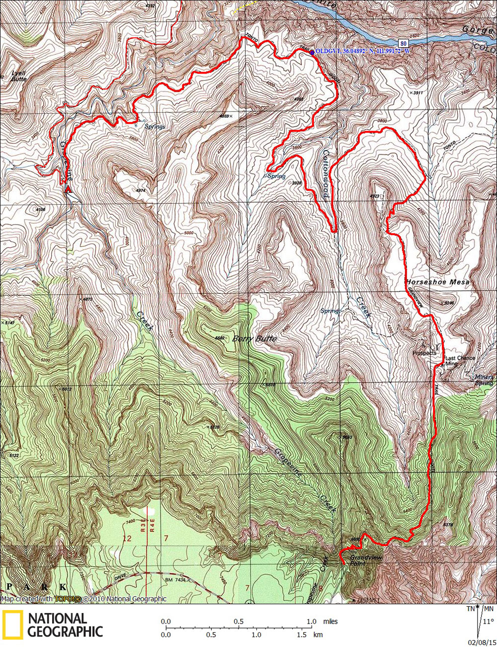
Day 1

November 8, 1991

Grandview Trailhead to Grapevine Creek


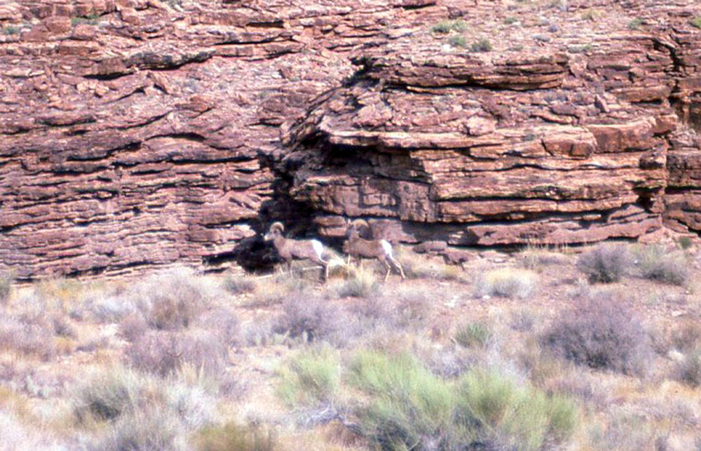
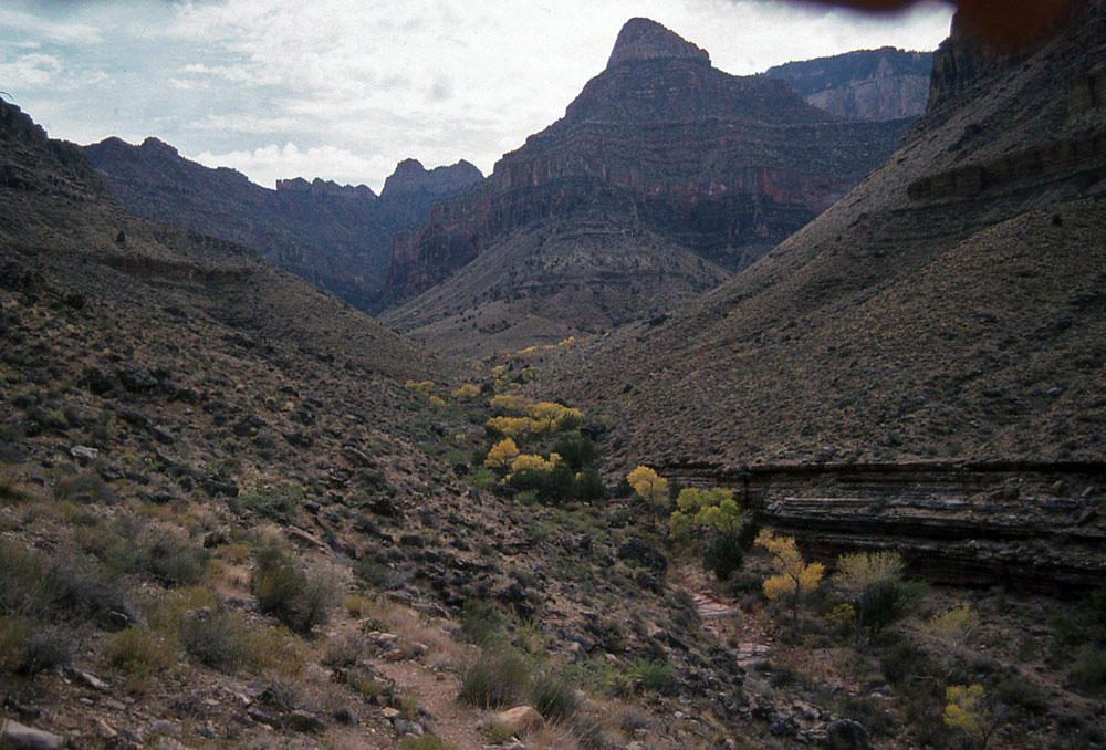
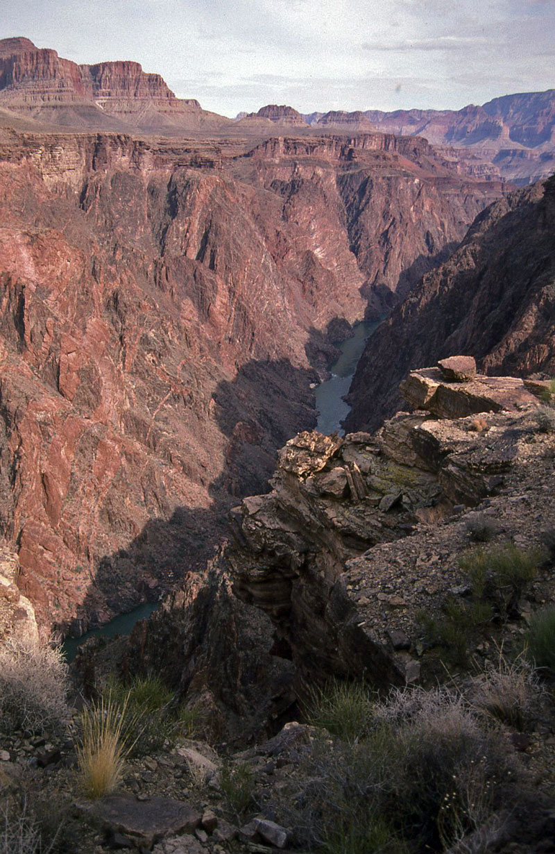
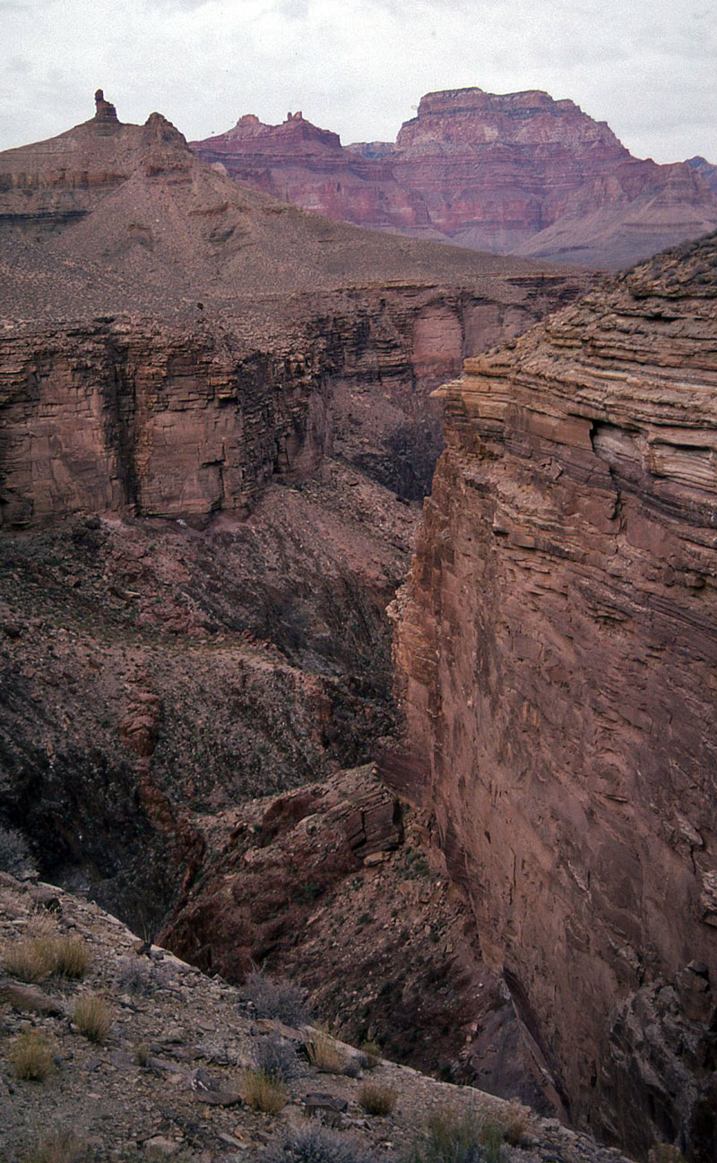
Click on photos to see larger image.

Today's route stats: 

    Distance: 10.5 miles

    Elevation Gain:  0 feet

    Elevation Loss:  3800 feet

I had previously day-hiked to Horseshoe Mesa and explored the area, including the Cave of the Domes.  So this time I did not stop to visit the cave.  I opted to take the trail that drops off the western arm of the mesa instead of going down directly to Cottonwood Creek, the usual route.


Horseshoe Mesa in Foreground.


Upper Cottonwood Creek.


Angels Gate, Wotans Throne, Vishnu Temple.


I had a lot of miles to do today, so I zipped along without taking a lot of photos.   It was a bit cloudy, but great hiking weather.  I spotted some Bighorn Sheep on the Tonto between the end of Horseshoe Mesa and Cottonwood Creek.  I suspect the section of Tonto below Horseshoe Mesa gets much less traffic than other sections of the Tonto Trail. 

Big Views from the Tonto.


Bighorn Sheep on Tonto.


Berry Butte and Cottonwood Creek.


I passed a large cairn on the rim between Cottonwood and Grapevine.  I did not know it's significance until several years later.  It turns out that it marks the extension of the Grandview Trail that goes all the way to the River.  My daughter and I hiked down this trail in 2010. 

Grapevine Canyon is long, as is the trail that follows the rim of Grapevine to the camp and water at the head of the canyon.  I remember passing by the springs that are shown on the topo map (up the slope on the left side of the canyon as you approach the head of the canyon).  There was some greenery, but the springs did not look useful.  Luckily there was plenty of water in Grapevine.

Between Cottonwood and Grapevine.


Grapevine Canyon.


Grapevine Canyon.


Back to Main Trip Index Back to Trip Index Back to Preface Forward to Day 2