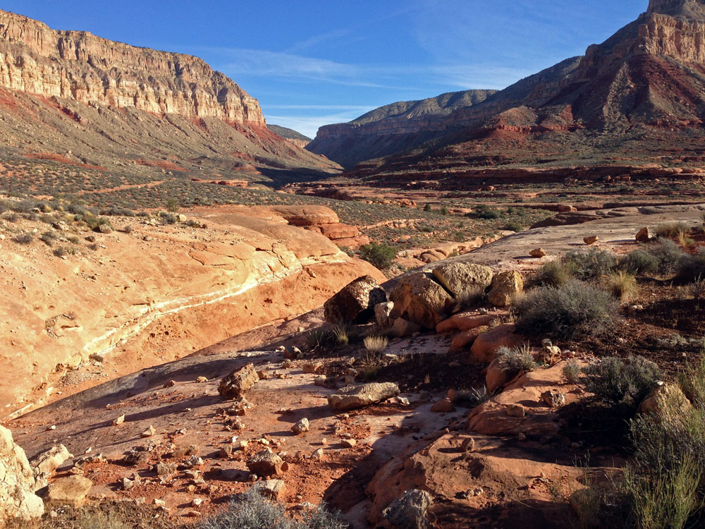
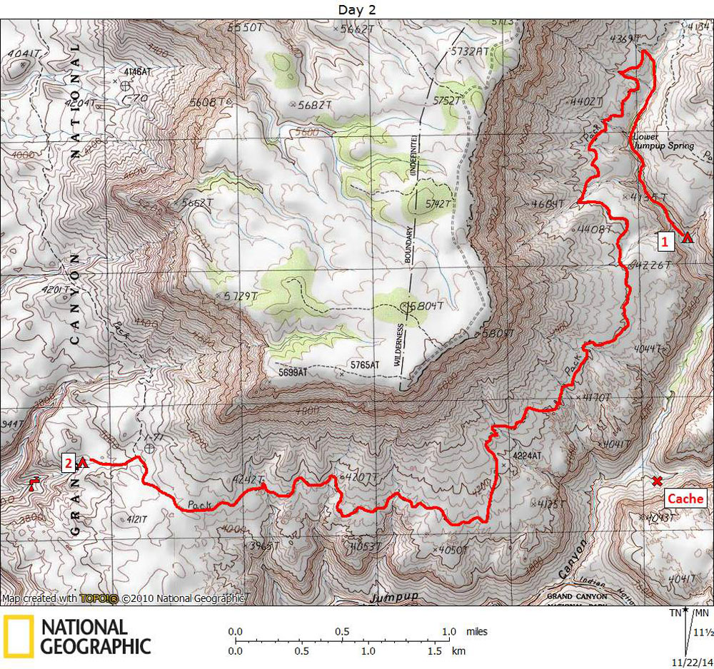
Day 2

October 27, 2014

Jumpup Canyon to Potholes on Esplanade via Ranger Trail


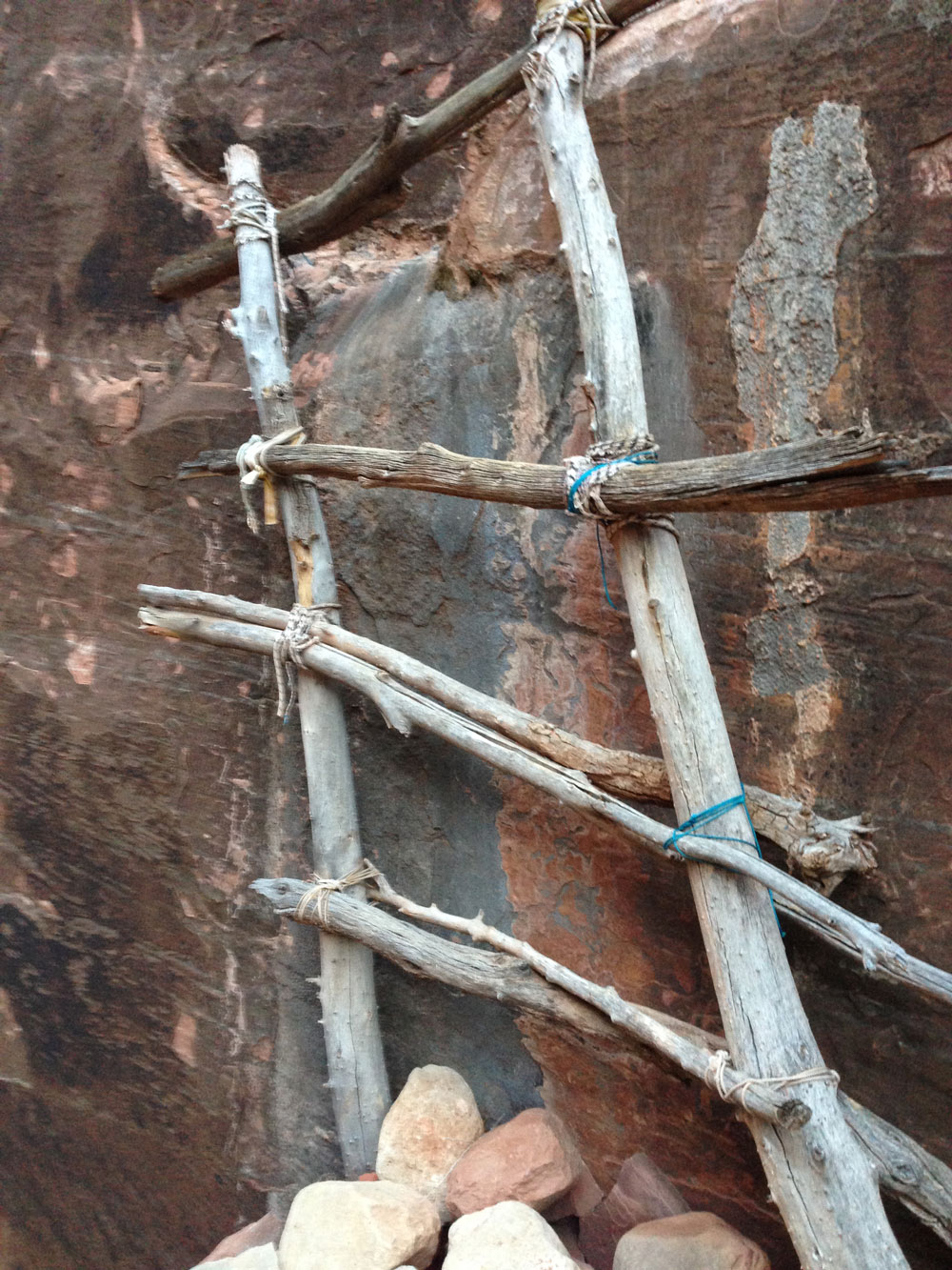
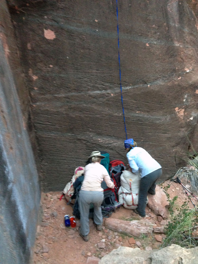
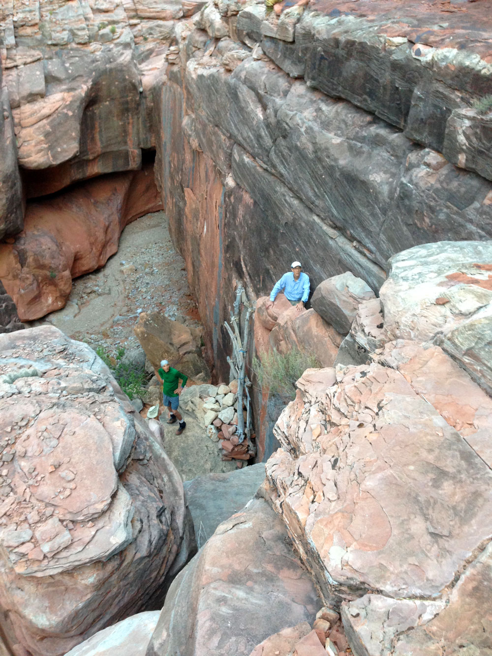
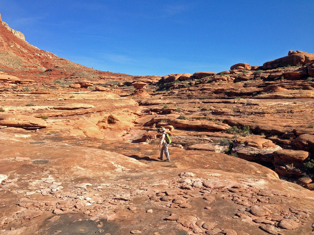
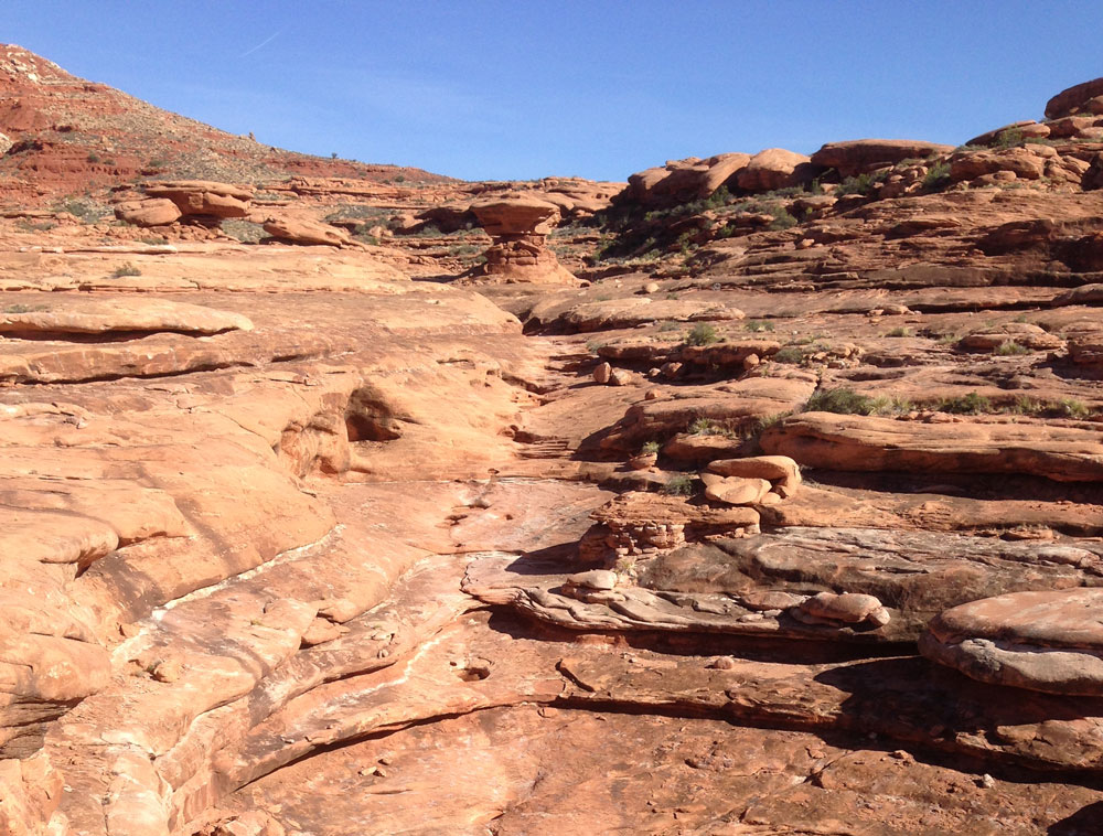
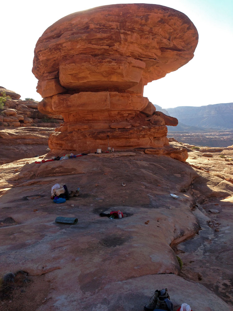
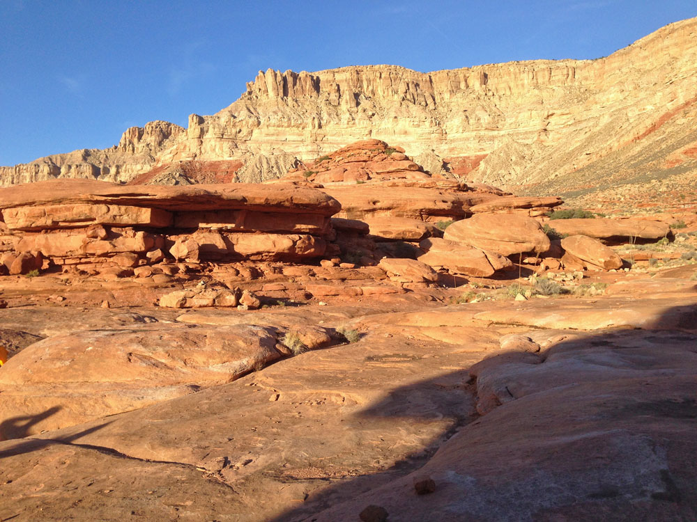
Click on photos to see larger image.

Today's route stats: 

    Distance: 7.0 miles

    Elevation Gain:  600 feet

    Elevation Loss:  450 feet

In less than an hour of hiking we came to the ladder at Lower Jumpup Spring.  I had been down the ladder once without a pack.  I was looking forward to doing it the other direction, which, except for having to deal with packs, should be easier.  The ladder is remarkably sturdy, but we held it tight against the wall as people climbed up.  I suspect the ropes tying the rungs onto the ladder are rotten and ready to fail.  One could easily tie on more rope or webbing if they are worried about it.  Once you get to the top of the ladder, you need to climb  another 20 feet or so.  There is definitely some exposure, but the climb is really pretty easy.  We used webbing to haul up our packs.

Ladder at Lower Jumpup.


Pulling Up Packs at Lower Jumpup.


Mark Climbing Above the Ladder.


Once all of us were safely up, we continued up Jumpup, looking for a shortcut to access the Ranger trail without having to go all the way up to the trail junction.  We climbed up a side canyon that looked easy, but ended up having to do make some difficult moves, but without much exposure.  Update:  The ladder was removed in 2020 and replaced by a rope handline with loops.  It is now much more difficult.

Ethan was supposed to start hiking around noon today, starting at the trailhead in upper Jumpup.  It is about 4 miles from the trailhead to the trail junction above Lower Jumpup Spring.   He would have almost 11 miles to cover, and we were a little worried he won't make it before dark.

Esplanade and Ranger Trail. Potholes Near Our Campsite. Rock Art Near Our Campsite.

Around 3 PM we arrived at the location where we were hoping to find potholes containing water.  We had found water here last year.  And because there was rock art near the potholes, we speculated these potholes were used by the ancients, and therefore may be somewhat reliable.  And we were right.  Plenty of water.  We did have another location in mind in case these potholes were empty. 

After collecting water and setting up camp, we headed off to check out the un-named canyon adjacent to us (to the north) to determine whether or not it would go.  I tried to find information about this canyon prior to our trip, but couldn't find anything.  But after looking closely at the topo map and Google Earth, I thought there was a good chance it would be and easy go.  And except for one spot it would have been easy.  This one spot was near the top of the canyon and involved a drop of about 15 to 20 feet.  It didn't look like there was a good place to anchor a hand line.  Ben checked it out in closer detail and wanted to go for it, but most of us decided against it.  With a little better equipment it would have been pretty easy.  Oh well, maybe next time.  The problem with not accessing Kanab Creek via this canyon was we would now have an extra 6 miles to hike.  But all on an easy trail.

Ethan showed up around 5:30, close to sundown.  He had not started hiking until 1:30.  He covered almost 11 miles in 4 hours.  Much faster than I could do.  We were all greatly relieved.

Slickrock Surrounds Our Camp. Our Campsite. Esplanade Near Our Camp.

Back to Main Trip Index Back to Trip Index Back to Day 1 Forward to Day 3