Day 3

October 28, 2014

Esplanade Potholes (Ranger Trail) to Chamberlain Canyon via Hack-Lawson and Kanab Creek Trails


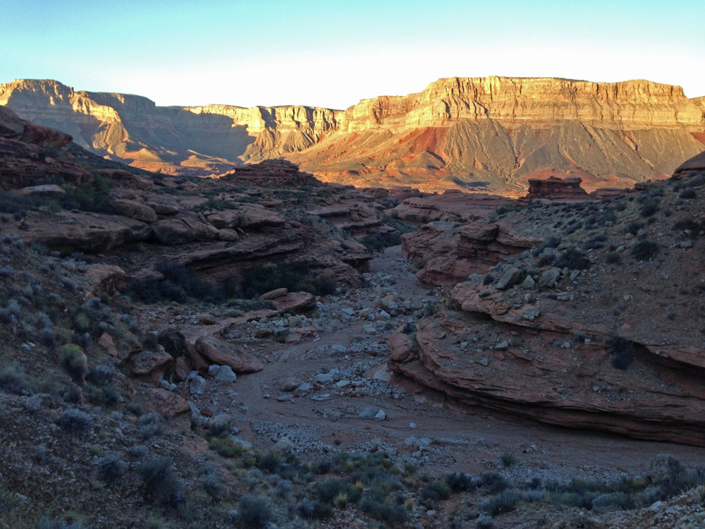
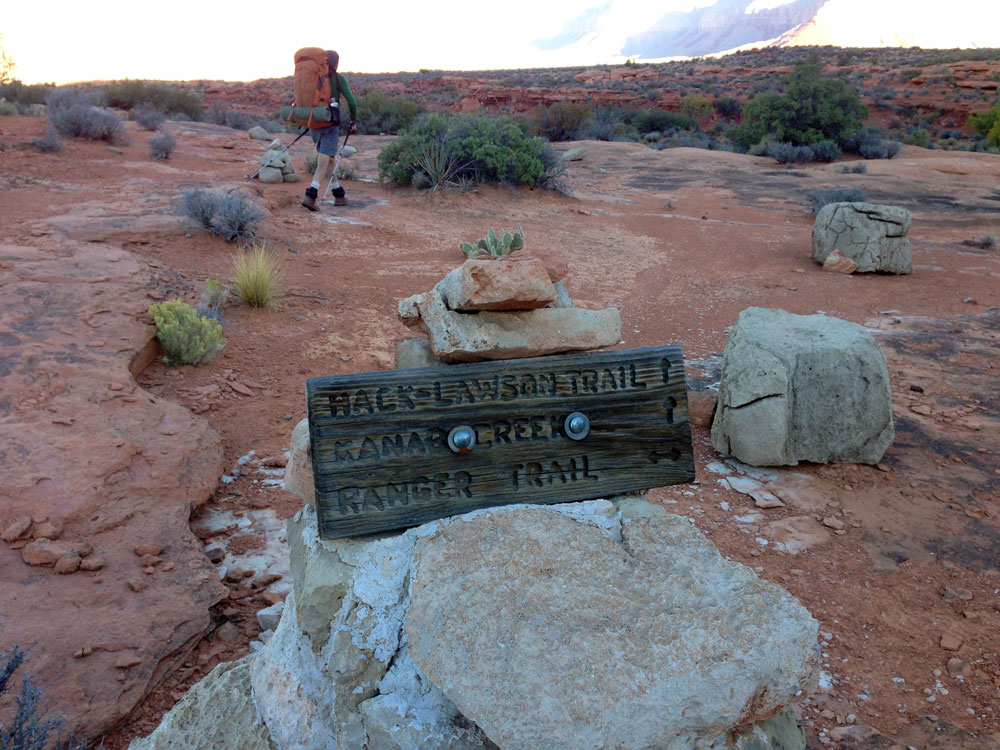
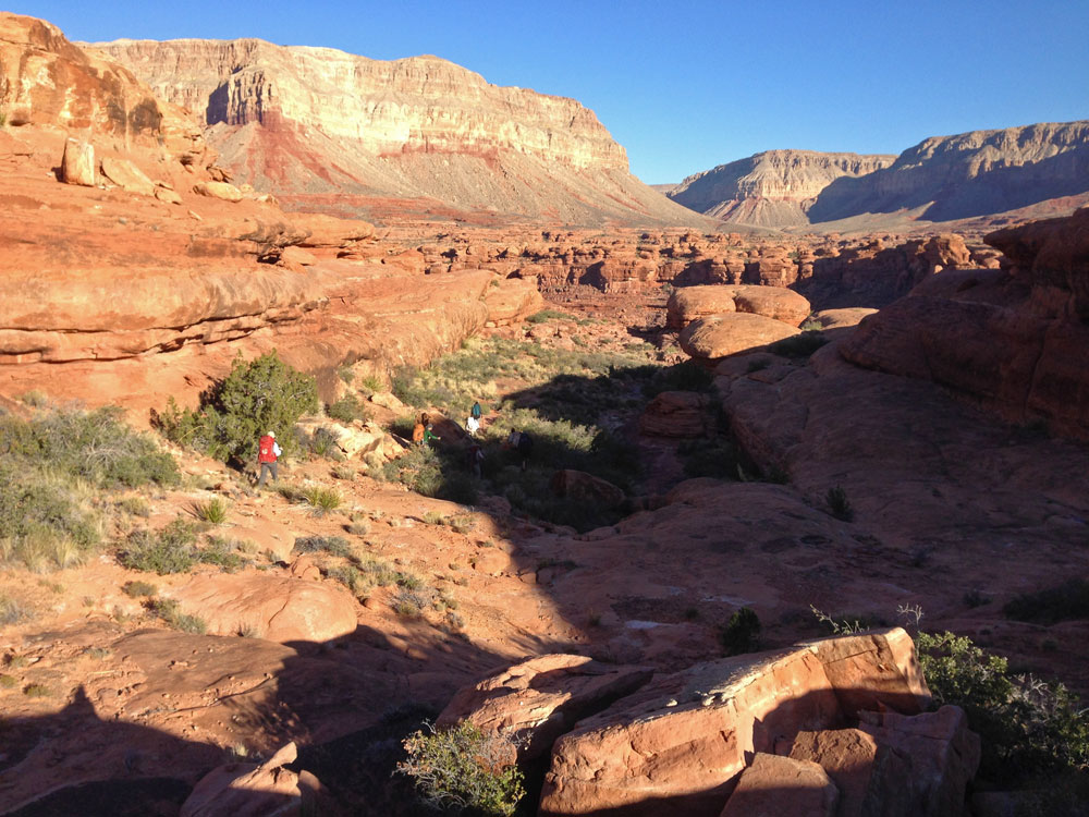
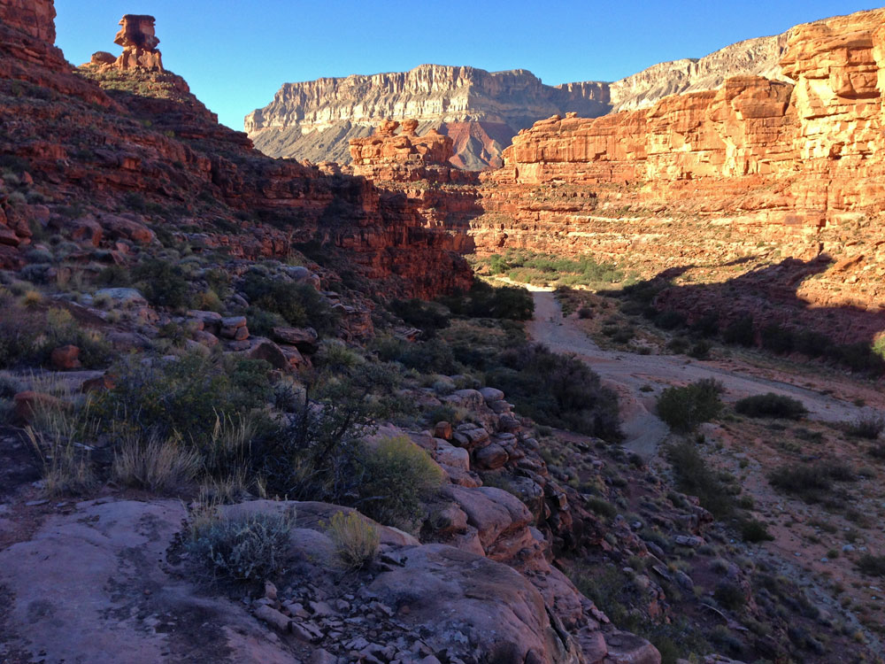
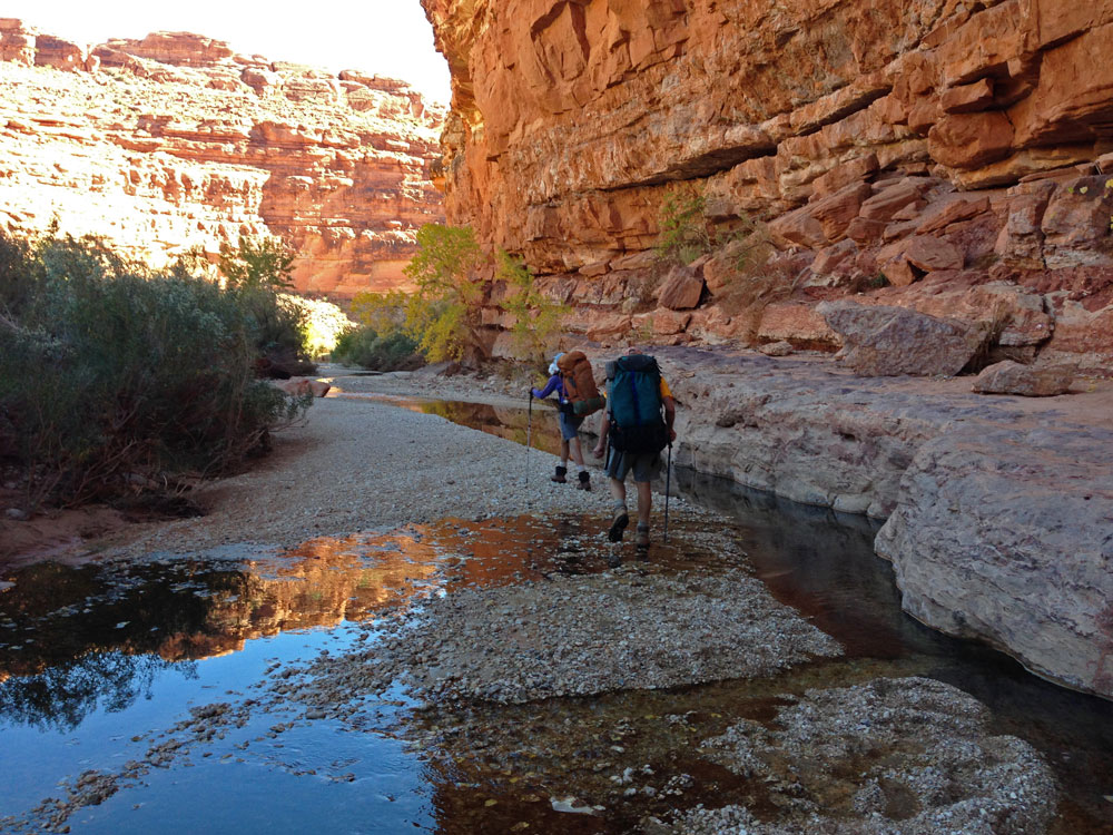
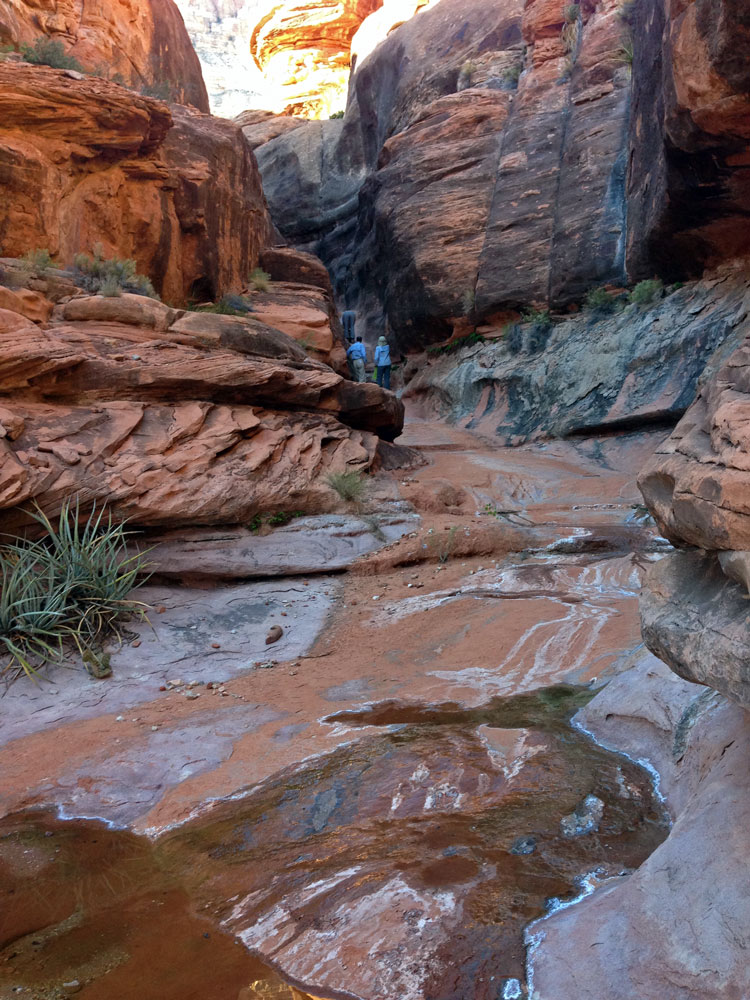
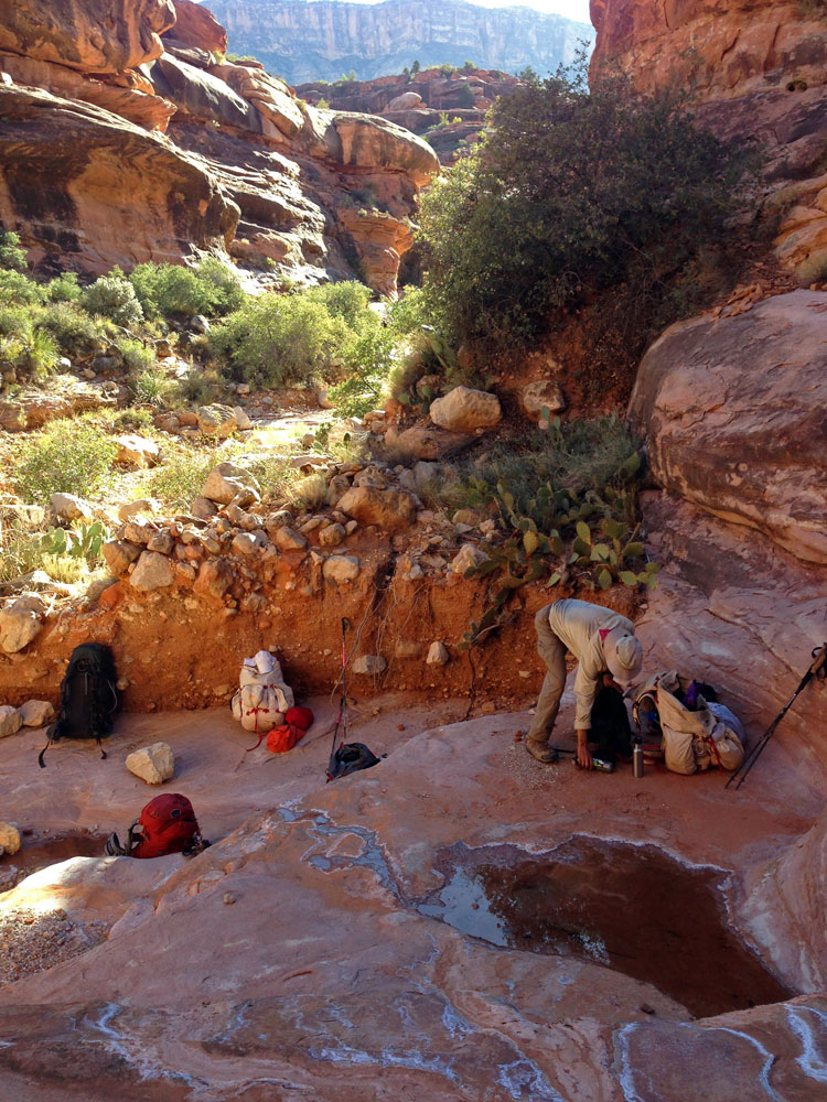
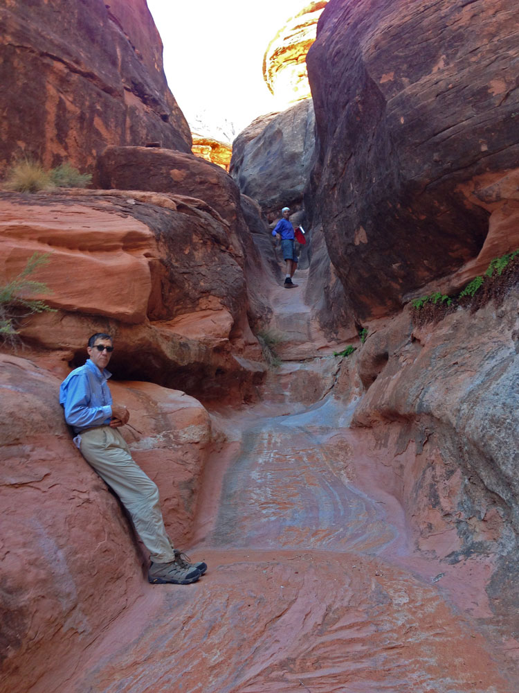
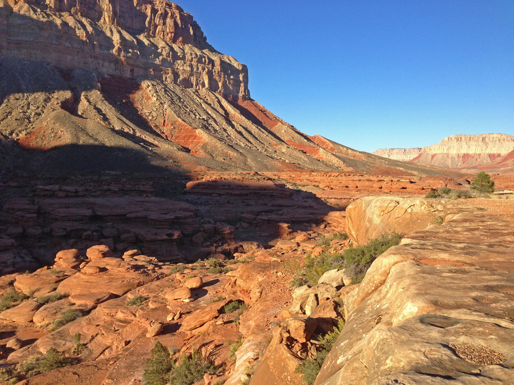
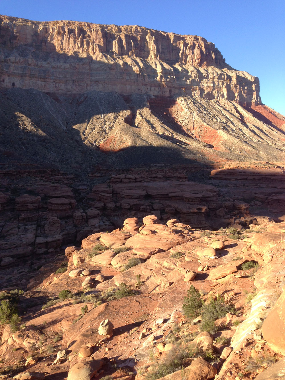
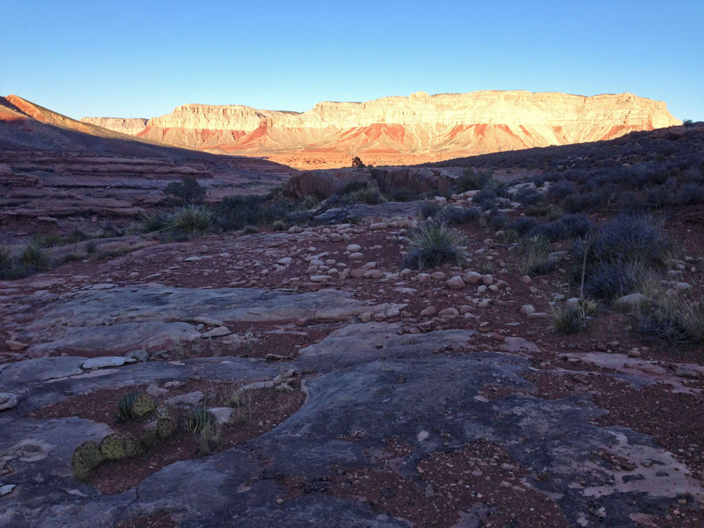
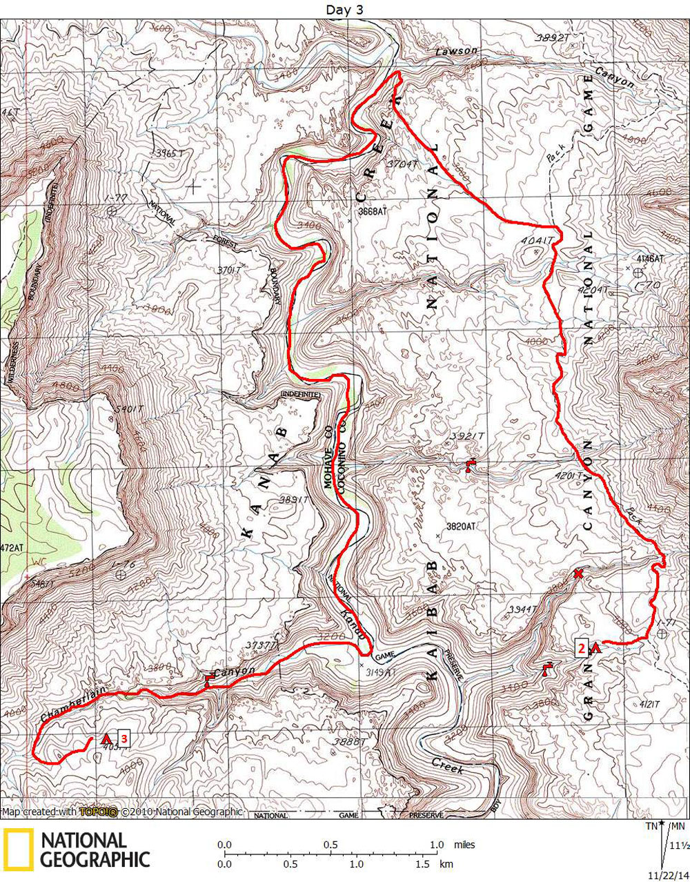
Click on photos to see larger image.

Today's route stats: 

    Distance: 10.0 miles

    Elevation Gain:  1100 feet

    Elevation Loss:  1000 feet

Again we awoke before dawn and were on the trail before 8 AM.   Because we could not get through the shortcut side canyon (obstacle marked by X on the map above) to access Kanab Creek, we had to hike all the way to the Hack-Lawson Trail.  This added about 6 miles, making this a pretty long day. 

Shortcut Side Canyon. Sign Marking Hack-Lawson Trail. Hiking on the Hack-Lawson Trail.

We arrived at the turnoff to the Hack-Lawson Trail around 9:15 AM.  There is a sign marking the turnoff, and the trail is pretty well marked by cairns.  It is not shown on the 7.5-minute quad.  There were only a couple of places where we briefly lost the trail.  The trail runs gradually down hill until it nears Kanab Creek at the mouth of Lawson Canyon.  It then switchbacks down a steep slope, offering views into Lawson Canyon, and eventually ending at Kanab Creek a few hundred yards down-canyon from the mouth of Lawson.  We reached Kanab Creek around 10 AM.

We turned down Kanab Creek, trying to find the trail that usually short-cuts the bends in the creek.  It is about 4 miles  to Chamberlain.  I am not especially fond of this upper section of Kanab Creek, especially in hot weather.  And it was starting to get hot.  However, it was nice that Kanab Creek had some water much of the way to Chamberlain. 

Approaching Kanab on the Lawson Trail. Hiking Down Kanab Creek. Striped Skunk Prints ?

After what seemed like a long slog, and after stopping for a long lunch, we reached the mouth of Chamberlain around 1:00 PM.  We arrived in groups of one or two.  It was hot and there was no shade at the mouth.  A couple of hundred yards down-canyon from Chamberlain was a small grove of Cottonwoods.  Everybody trudged down to the trees for shade and a break.  When I got there, everyone else was already there, except for Bert.  We wondered where he was.  Perhaps he had gone up Chamberlain, or perhaps, for some reason, he got way behind us.  But we created problem when we all settled down in the shade and were therefore not visible from the mouth of Chamberlain.  It turned out that Bert was behind us, having gotten caught up in the brush.  When he arrived at Chamberlain, he couldn't see us, and assumed we had all hiked up Chamberlain.  As a general rule, we always wait for everyone to catch up when we come to a turnoff.  We didn't this time.  We should have left a pack or hiking sticks to show Bert where we were.  After about an hour, he eventually showed up.  And he was pretty ticked off, as anyone would have been. 

Side Canyon Potholes. Side Canyon Potholes. Mark and Ben Collecting Water.

Chamberlain was dry at it's mouth.  The last time we were here we found flowing water about 3/4 mile up from the bottom.  But not this time -- all we found were some tiny pools and damp ground.  I was getting a little nervous.  However, we searched a small side canyon and found several small pools with pretty good water.  And farther up the side canyon we found some large pools.  This was a very good find that could come in useful in the future.  I marked the location on the map (above) with a spigot symbol. 

We picked up a full load of water (at least 6 liters each) and continued up Chamberlain, looking for a way out on creek right.  Eventfully we found an easy way and continued up to the Esplanade, looking for a good campsite.  We stopped hiking around 5 PM.   Just before we found our camp, we stumbled onto what seemed like a trail.  It was hard to follow, but it looked like more than a game trail.  We hoped that tomorrow we would be able to follow it all the way to Flipoff.

Our Campsite Located on Slickrock Bench. View from Our Campsite. View from Our Campsite.


Back to Main Trip Index Back to Trip Index Back to Day 2 Forward to Day 4