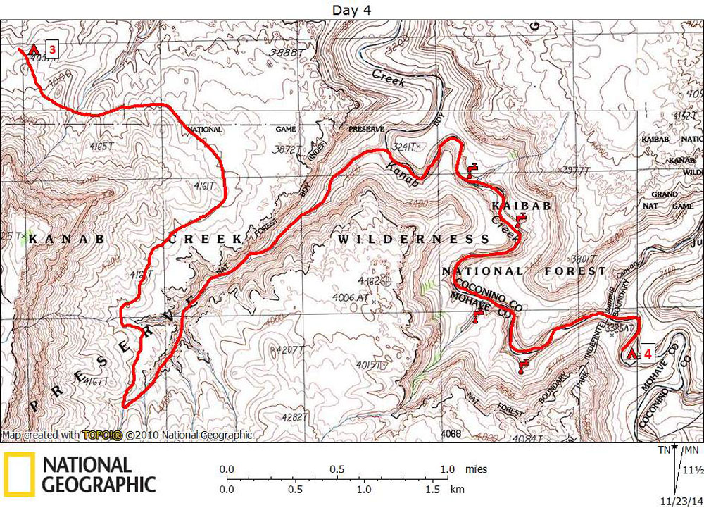
Day 4

October 29, 2014

Chamberlain to Jumpup Via Flipoff


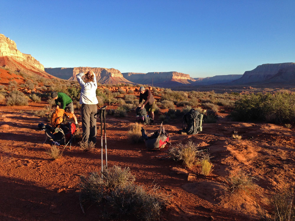
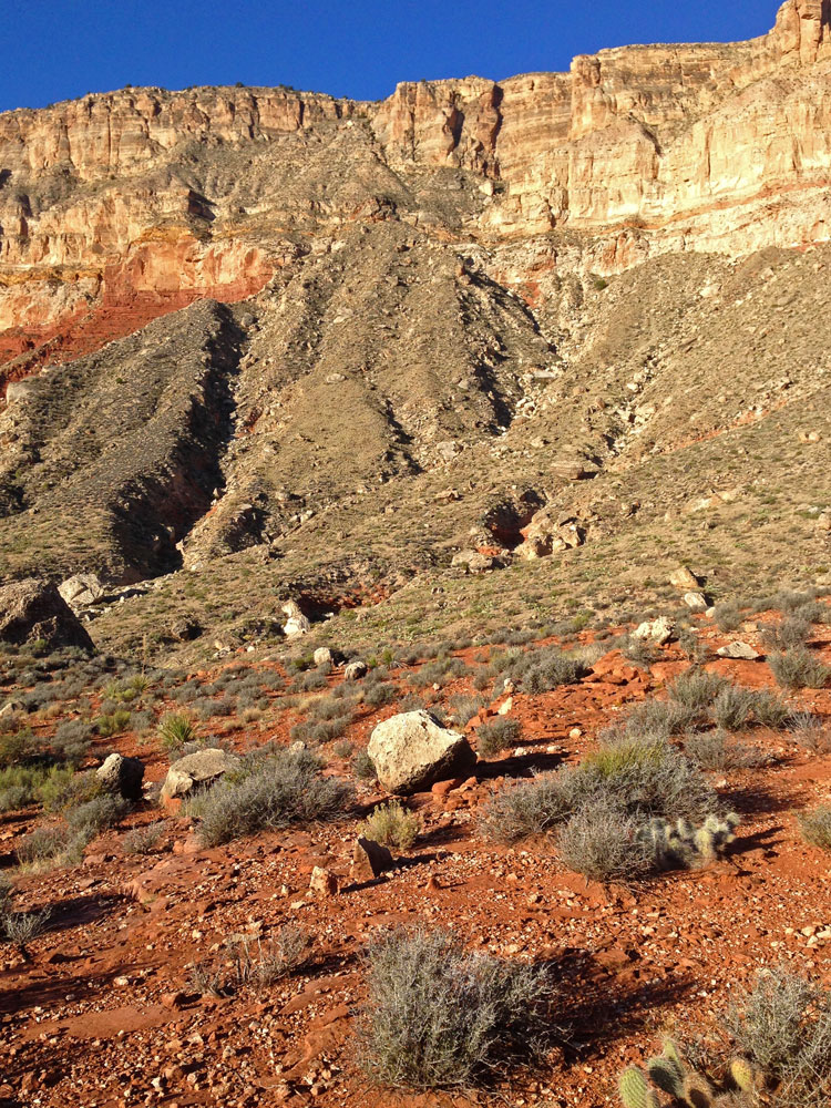
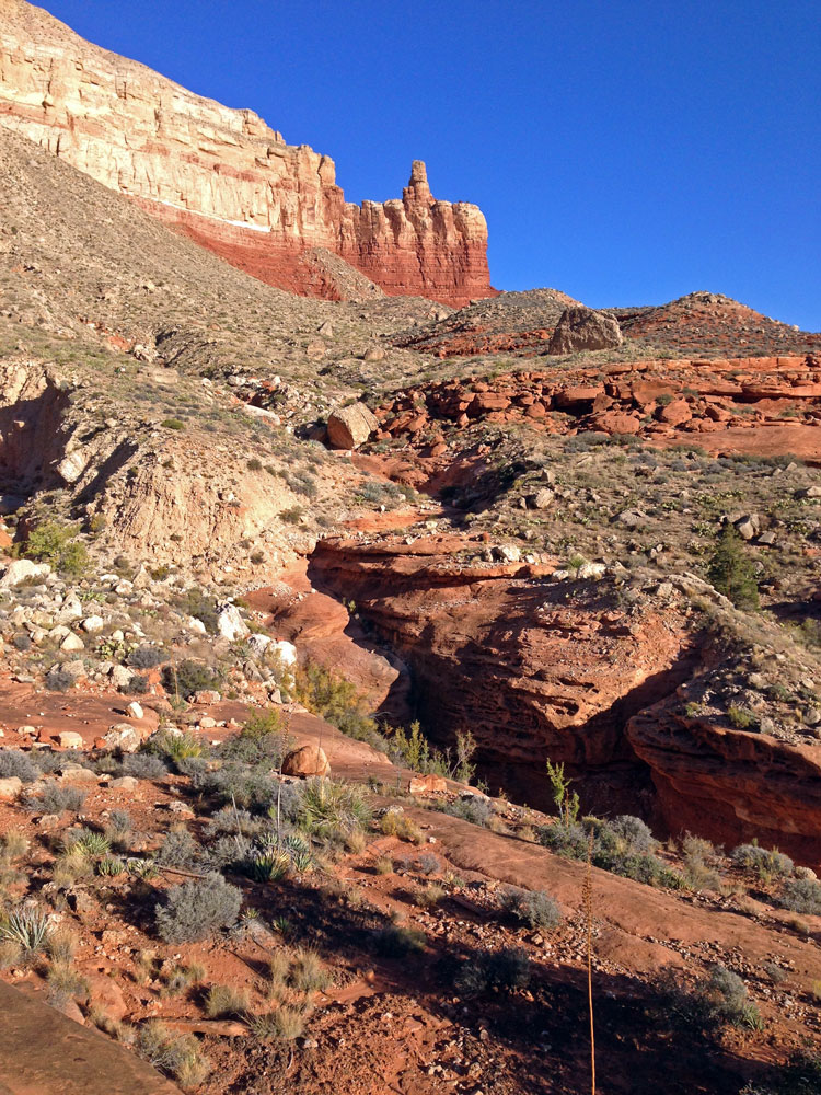
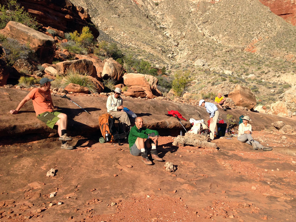
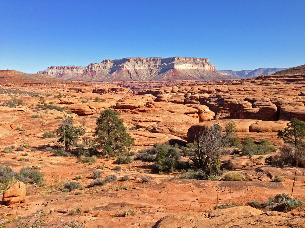
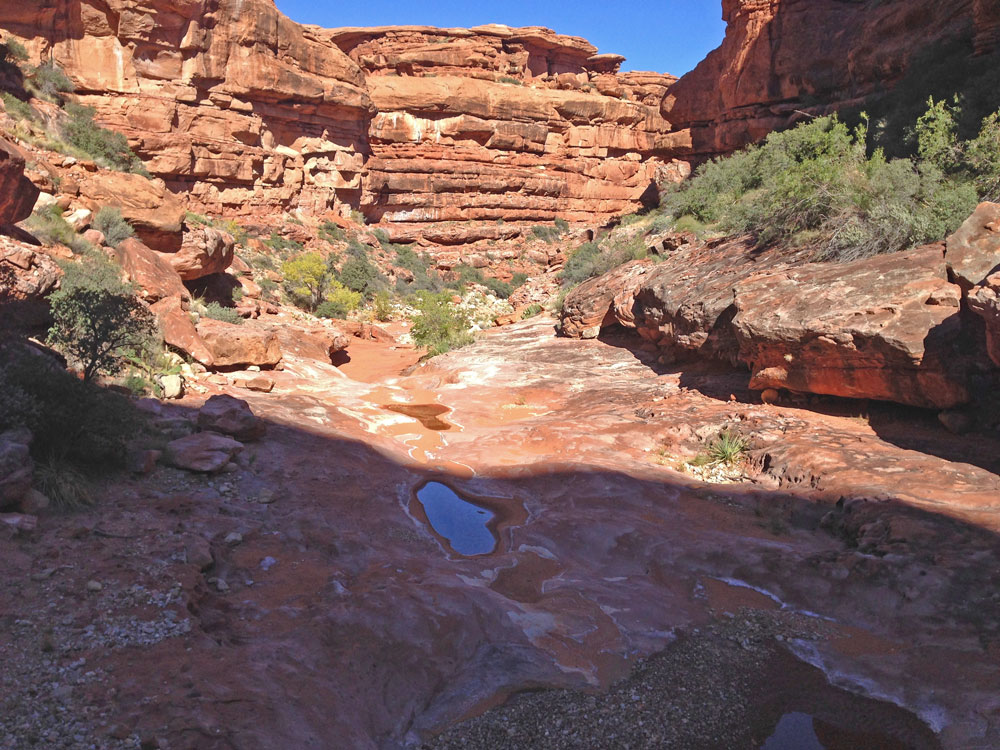
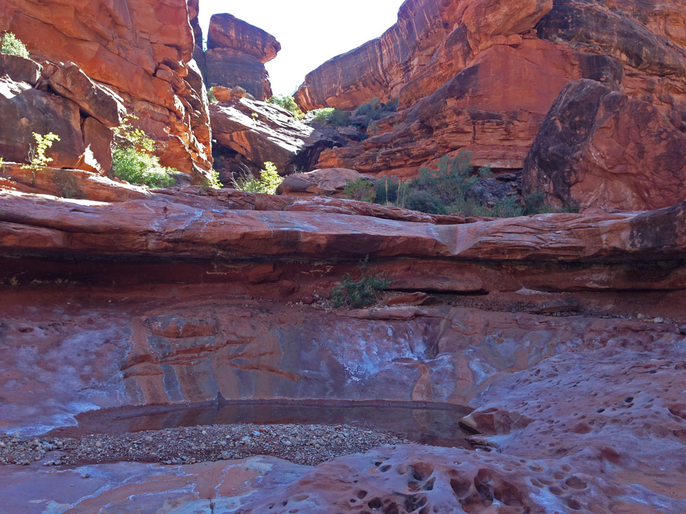
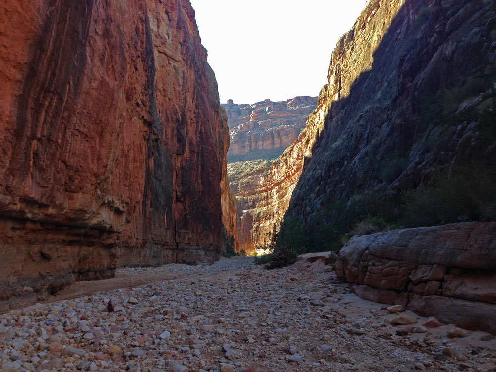
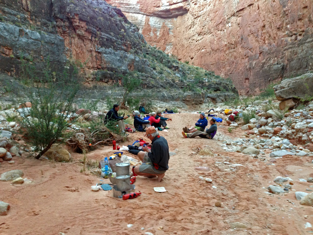
Click on photos to see larger image.

Today's route stats: 

    Distance: 7.0 miles

    Elevation Gain:  200 feet

    Elevation Loss:  1100 feet

Today we hit the trail before 7:30 AM.  I'm usually in favor of waiting until first light to get up, but because of the unusual heat we've experienced on this hike, I was all for getting going as early as possible.  Also, because of the short days at the end of October, you end up staying in the sack way too long. 

We began searching for the trail we saw yesterday.  We found it, but it was pretty faint.  We found quite a bit of horse shit on the trail too.   It didn't look ancient, but who knows.  It may have been there for decades.  Anyway, with some effort we were able to follow the trail.  It speeded up our hiking and it is definitely worth the effort to find it.

Morning on the Esplanade. View of the Flipoff route. Flipoff Formation.


We followed the trail all the way to the slickrock area near Flipoff Canyon.  I have camped here a couple of times before, and have always found pothole water in the area.  Although we didn't look very hard, all the potholes we saw were dry.  But we knew we would find water down in Flipoff.

We were planning to camp somewhere in Kanab Creek before getting to Jumpup.  I decided to spend a little time searching for the trail on the far side of Flipoff while the rest of the group started hiking down Flipiff.  They wanted to spend the afternoon day-hiking down to Showerbath Spring.  I would meet up with the group later that afternoon.  I hiked around the head of Flipoff, on the Esplanade, looking for the trail.  I am pretty sure I found it, but it was very faint.  I didn't follow it for very long, but I suspect it continues on, perhaps all the way to Scotty's Hollow. 


Resting at Bottom of Flipoff Route. Vast Esplanade Slickrock and Jumpup Point. Potholes in Upper Flipoff Canyon.


I finally started down Flipoff around 11:30 AM.  Upper Flipoff Canyon is very pretty.  There are a few minor obstacles to overcome, but generally the hiking isn't difficult.  There was flowing water at the spring area about half way down Flipoff,  but definitely not as much as I had seen the previous two times I had been there.  I have heard that the spring can sometimes be dry.  I reached Kanab around 2 PM.  Kanab Creek was dry at the mouth of Flipoff.

There are several locations in Kanab Creek between Flipoff and Jumpup where water can sometimes be found.   I checked the location that I had read about in Grand Canyoneering.  It is on creek right, in a steep side canyon, about 3/4 miles above Jumpup.  At first I only encountered a deep, dry pothole below a chockstone that would have been difficult to climb over.  But at the base of the chockstone I could get a view of a large pool on the other side of the chockstone.  It would have take two people to access this water, but it was nice to know it was there.  I continued down Kanab, looking for the last possible water source, one that Steck had described in Loop Hikes I.  But because I had already found water, and because access to this water looked like a hassle, I passed on by without looking.


Upper Flipoff Canyon. Kanab Creek. Camp on Kanab Creek Below Jumpup.


I figured I would find my group around the next bend, but I ended up at Jumpup and nobody was around.  After Bert's experience, I knew they would not have continued on without somehow letting me know.  Looking around the area I noticed a bandana hanging from a pole sitting in the creek bed.  There was a note attached saying that they had continued down Kanab, looking for a campsite. 

About 15 minutes farther down Kanab I came to their campsite, but nobody was there either.  I figured they had not returned from their hike to Showerbath.  About 45 minutes after I arrived, they showed up.  They were hauling lots of water from somewhere down Kanab.  They hadn't found water in Kanab while they were hiking down.  Apparently they looked in the slot where I found water behind a chockstone, but they didn't look close enough.  And the next water source was dry.

They had underestimated the distance to Showerbath Spring, and never made it that far before turning around.


Back to Main Trip Index Back to Trip Index Back to Day 3 Forward to Day 5