|
Day 1 April, 1995 Hike Down 36.7 Mile Canyon (AKA Mitchell Canyon) to Top of Redwall |
 |
|
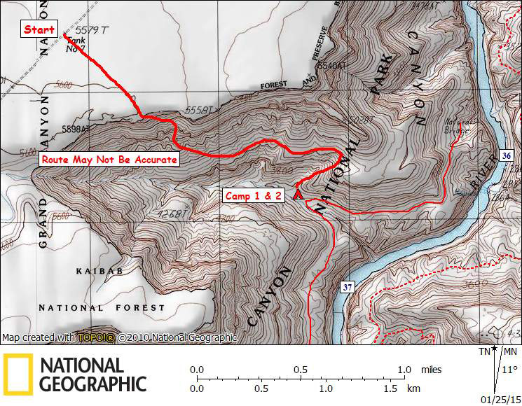
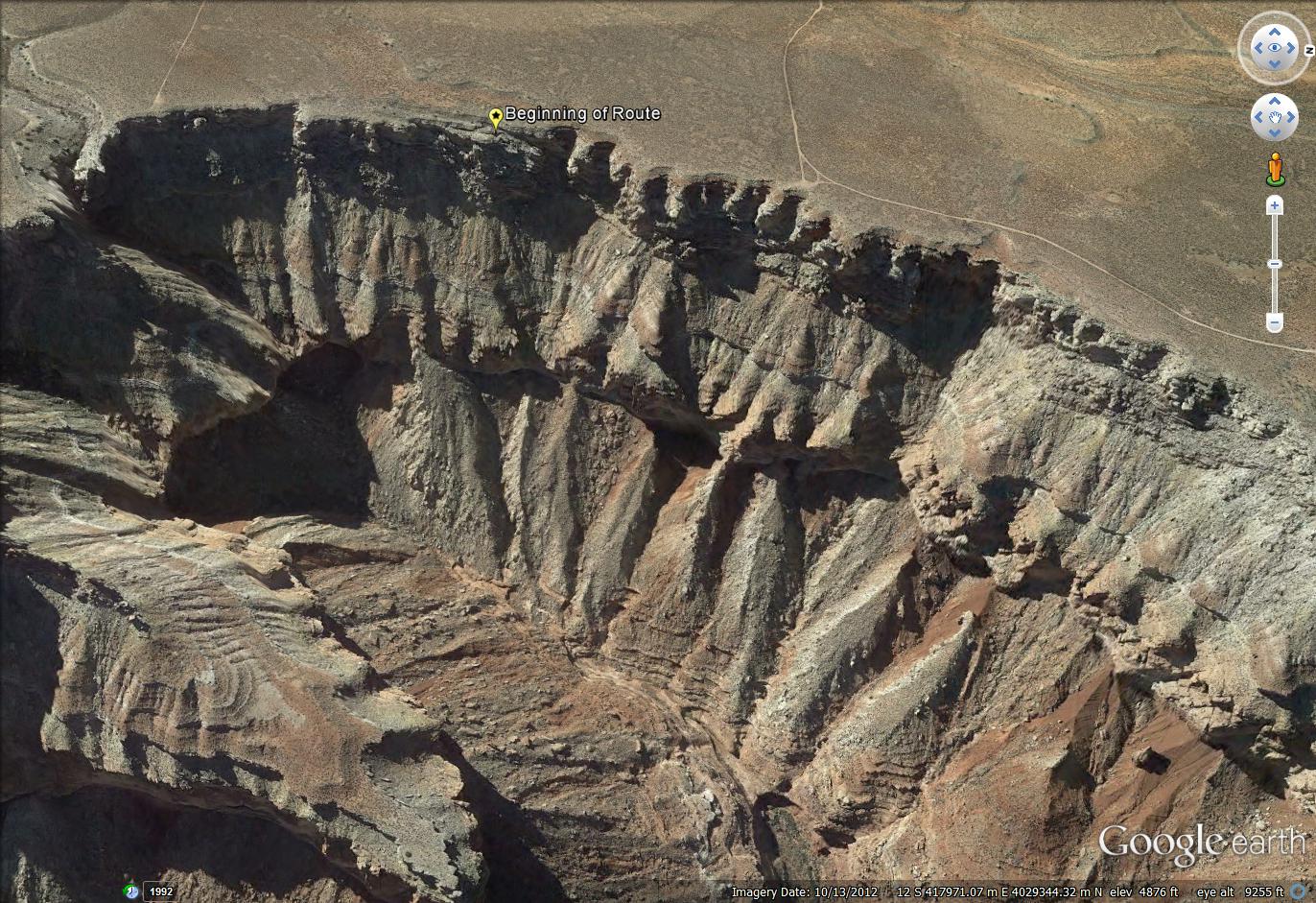
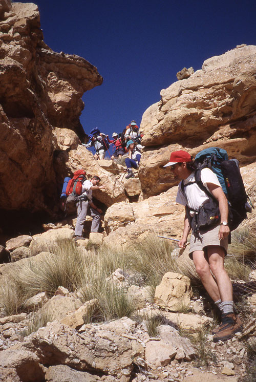
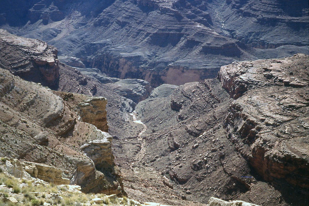
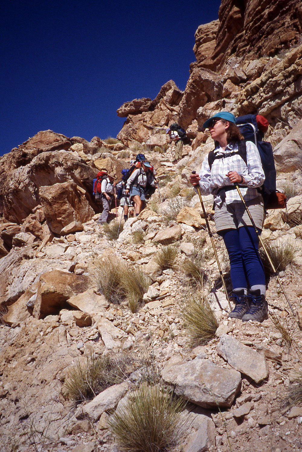
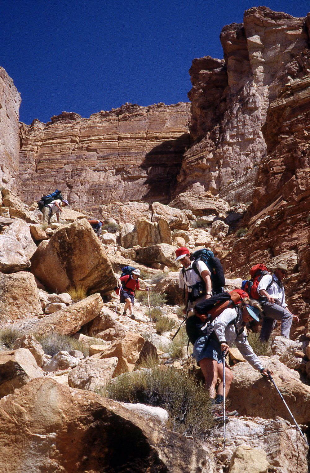
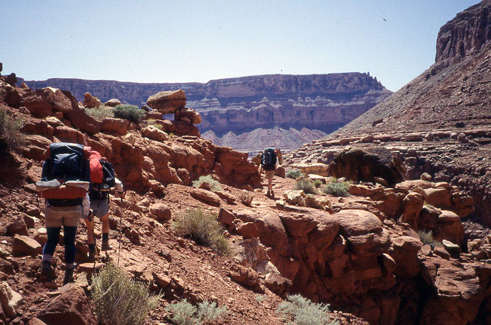
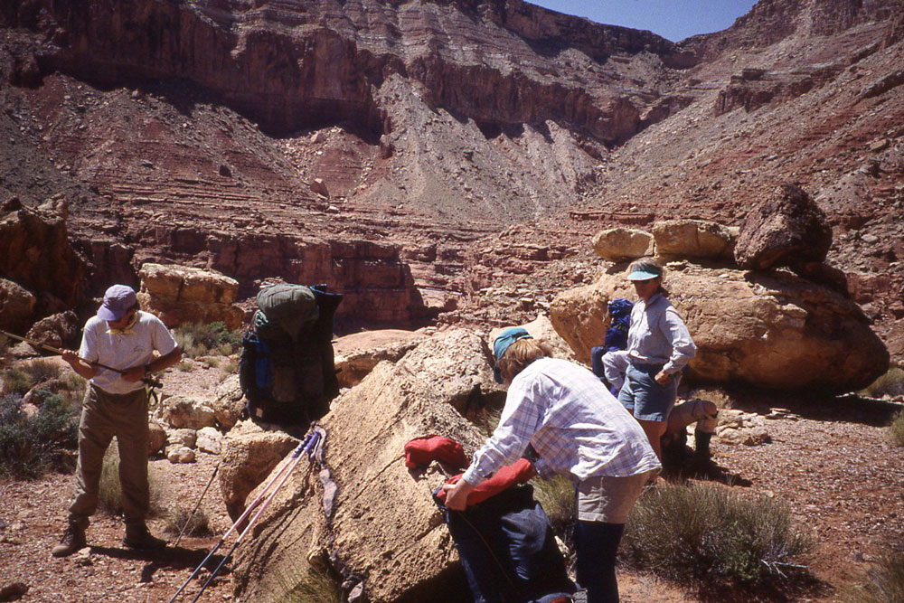
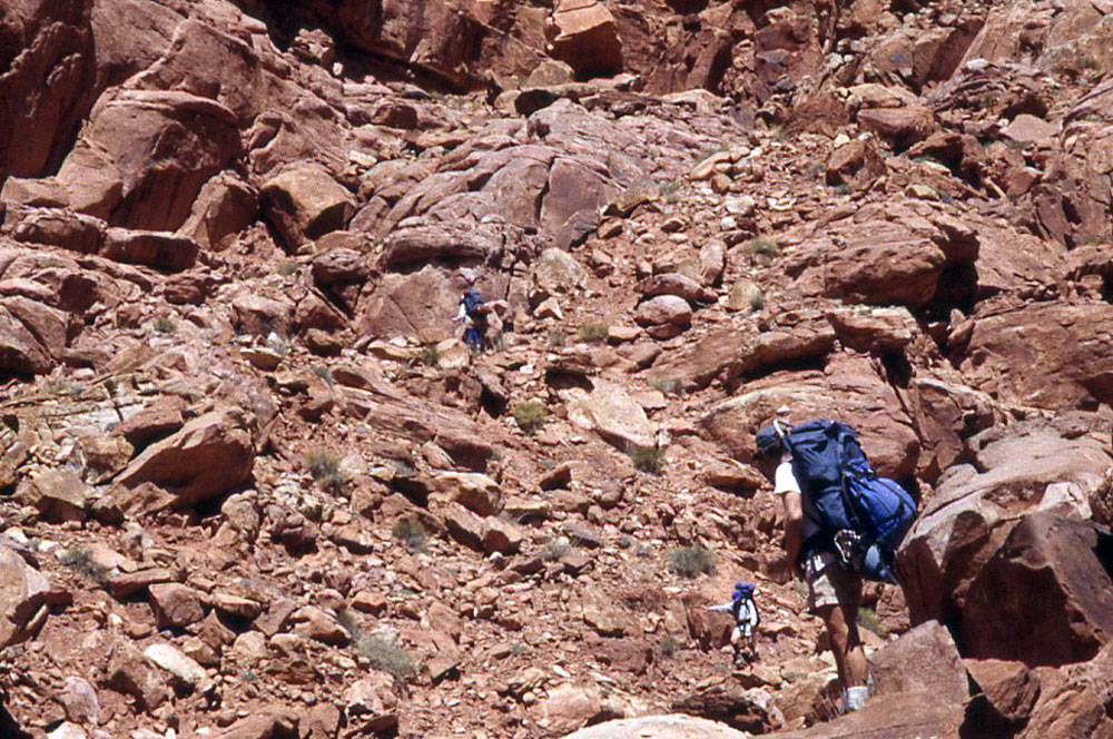
It took us a long time to drive to the trailhead from Page, probably about 3 hours. We dropped off one or two cars at our exit point (Buck Farm Canyon) and continued on to Tank No. 7, which is NW of Mitchell Canyon. It is about half a mile from our parked cars to the rim take-off point. The top of the route was not at all obvious, but Gary had been down this route several times and knew where to go. The route was exceptionally steep. And that is about all I remember about it. I have included a Google Earth image showing the rim take-off. It looks like it would be impossible to get through the Coconino, but there is a way. I have included other photos in the order in which they were taken.
|
 |
|
Google Earth Image Showing the Rim Take-Off Location. |
|
 |
|
Beginning of Rim Take-Off |
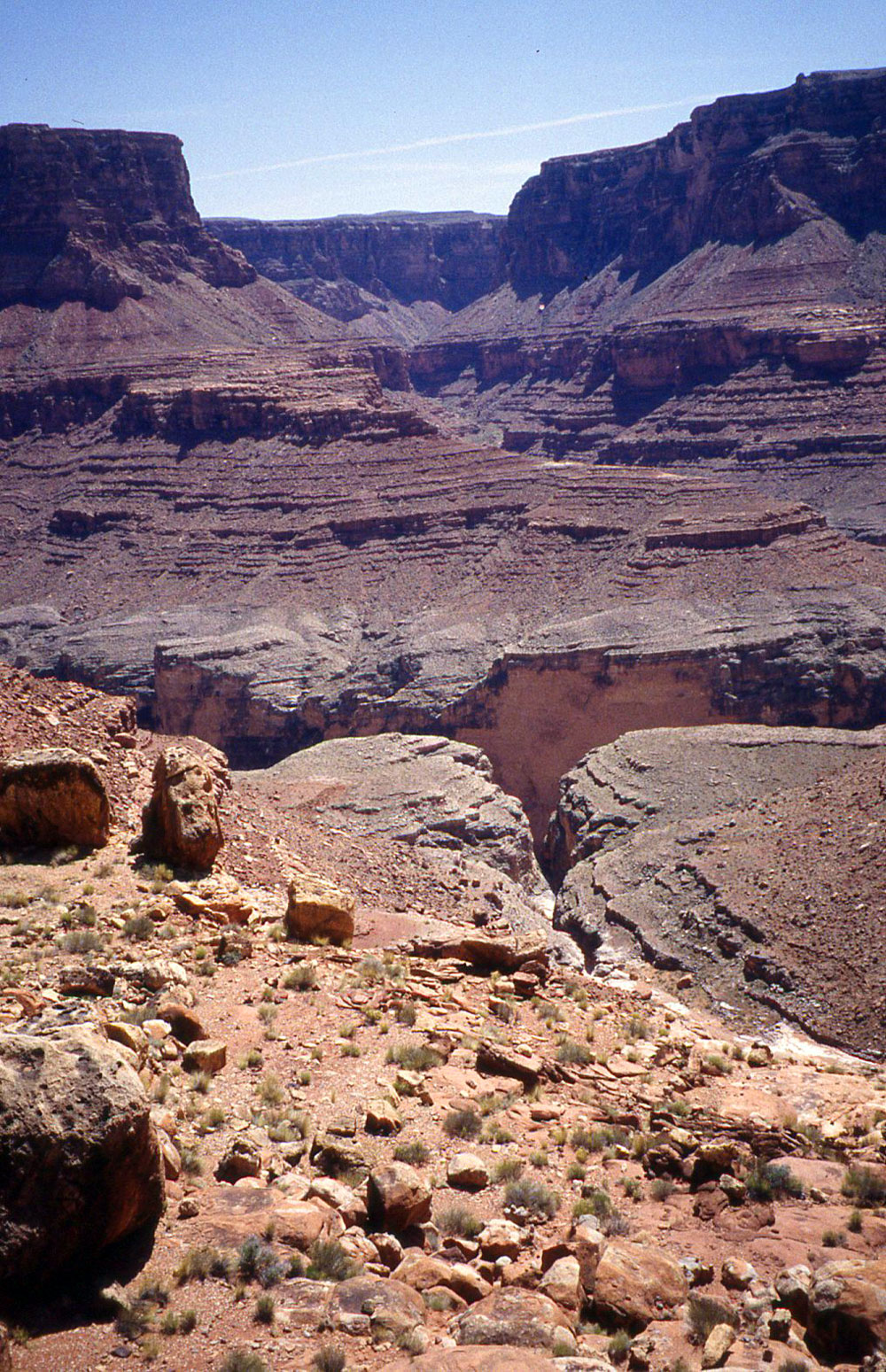
View into Mitchell Canyon |
 |
 |
 |
 |
 |
 |
 |
 |
 |
 |
|
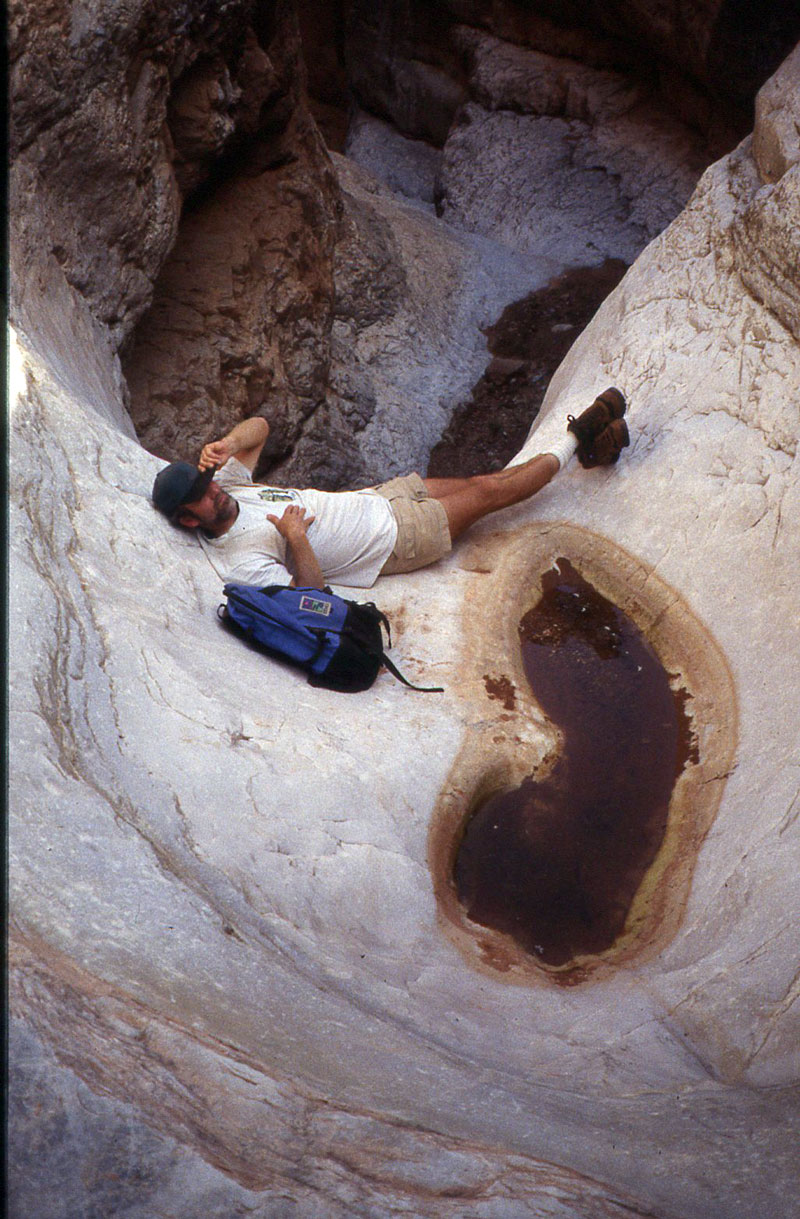
Gary Ladd Relaxing in Redwall |
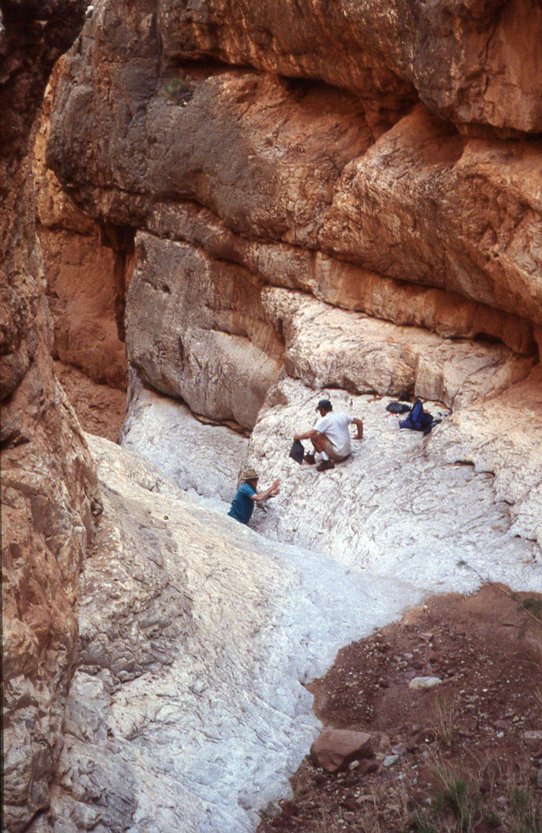
Fetching Water in Redwall Slot |
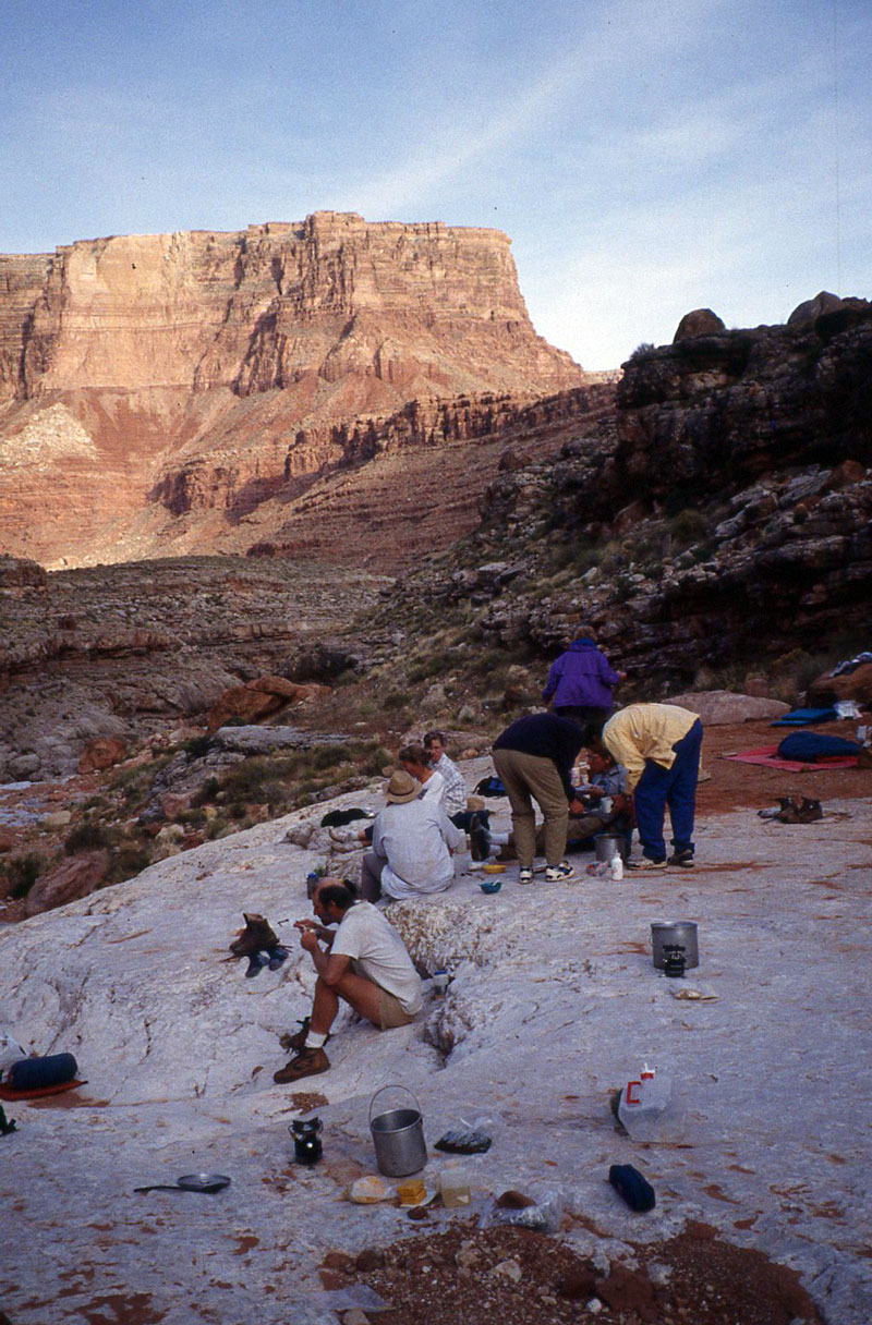
Campsite on First Night |