|
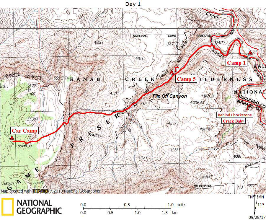
Day 1 March 28, 2010 Flipoff to Kanab Creek |
 |
|
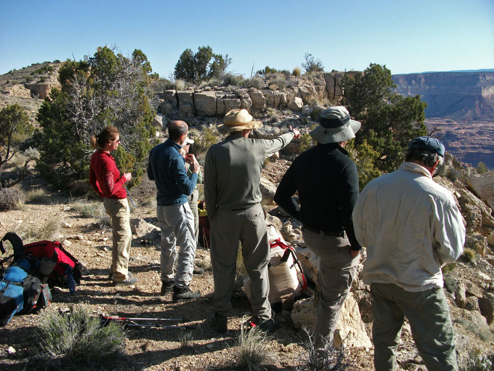
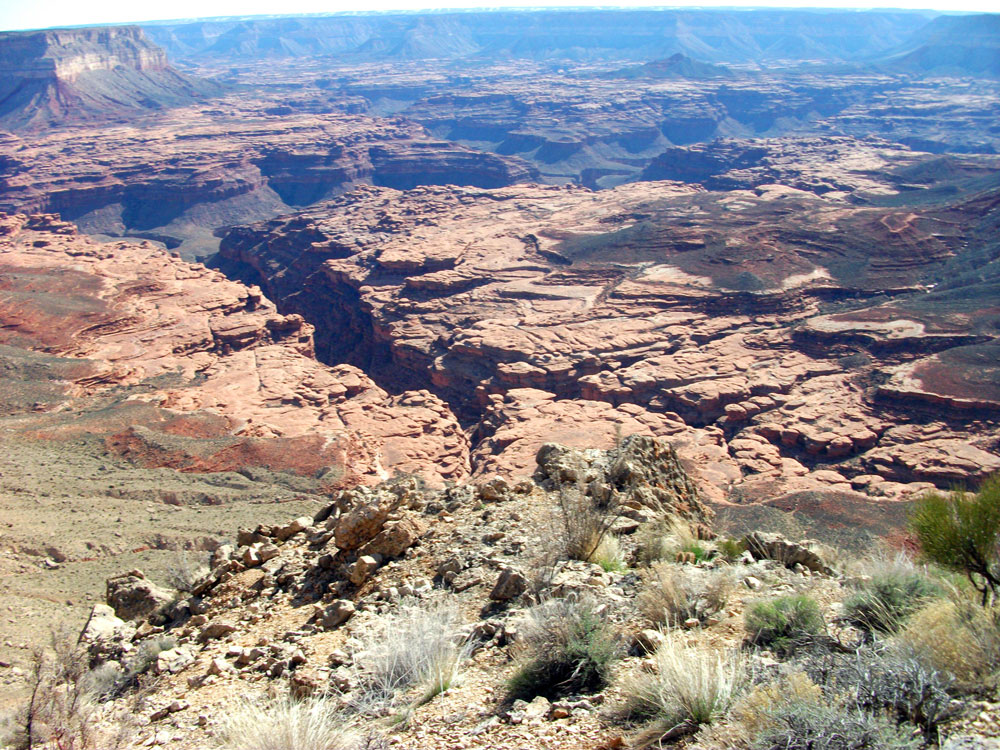
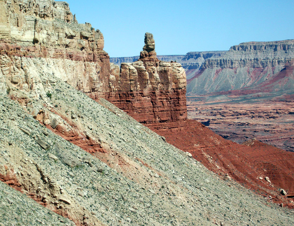
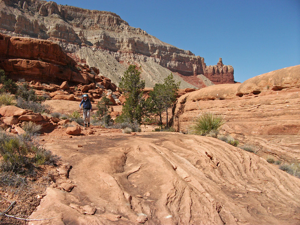
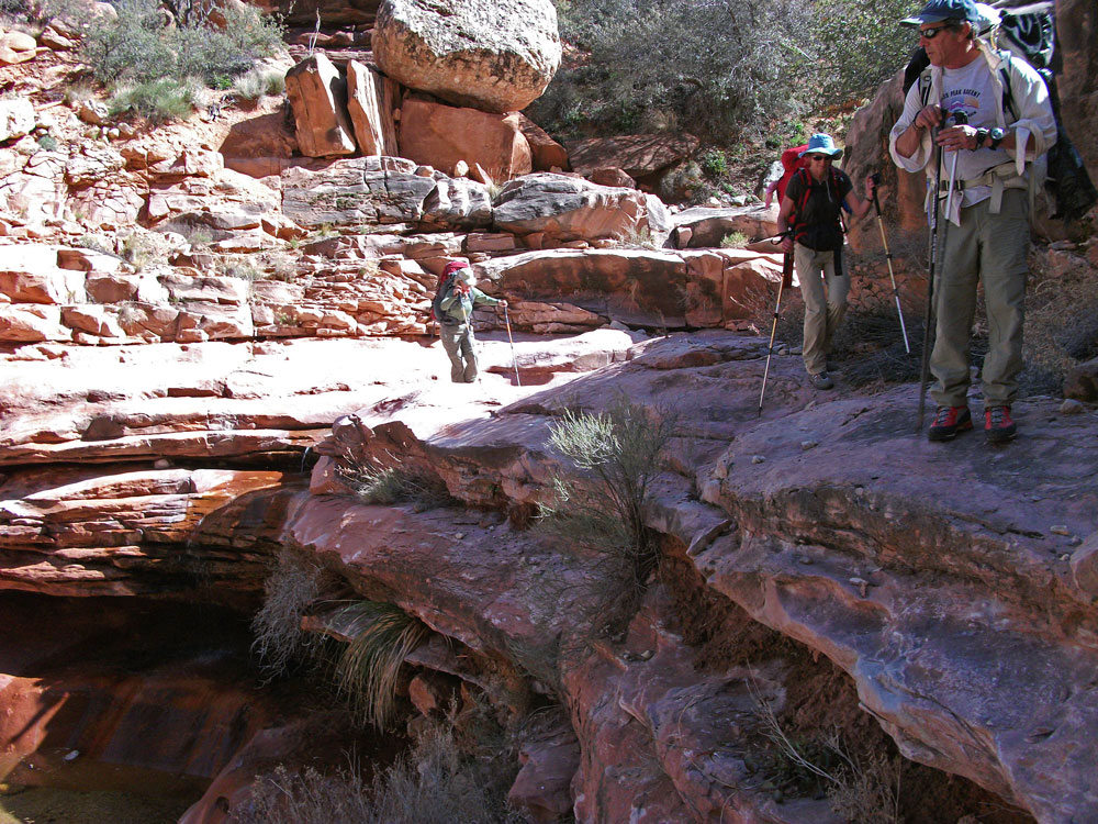
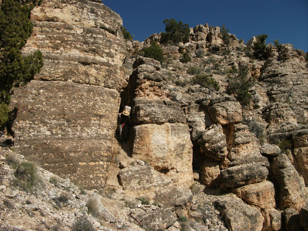
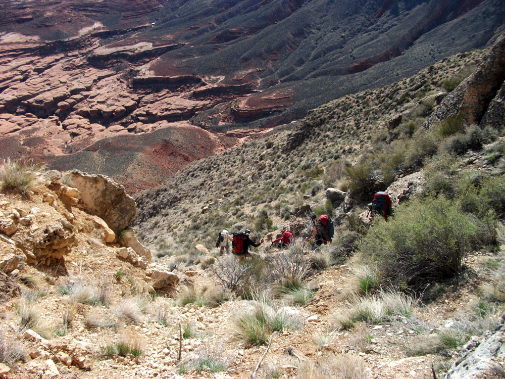
Click on photos to see larger image. Today's route stats: Distance: 4.0 miles (estimate) Elevation Gain: 50 feet Elevation Loss: 2500 feetWe were all up at first light and were soon heading off through the Pinon-Juniper to the rim takeoff point. We were soon gazing into the vast expanse of the of the Esplanade below us. Racetrack Knoll, which I had climbed last November, looked like a tiny bump, nearly lost in the vast expanse of the Esplanade. After a few minutes of silence, we enthusiastically started down. The first obstacle was a cliff-band of of Kaibab limestone. There was a nice crack just wide enough to get through that provided an easy way down. Then began the steep talus and the tedious hike down about 1700 feet to the Esplanade. The "flipoff formation" soon came into view, after which this route was named (see photo below). Farther down we encountered another cliff-band of Coconino sandstone that stopped us for a while. Bert and Marcey headed south to look for a way down while I headed north. I soon found a break but had to wait 30 minutes or so for Bert and Marcey to return (they found nothing). Some of us lowered packs with a rope, but an easier way down was found a little farther north. |
 |
 |
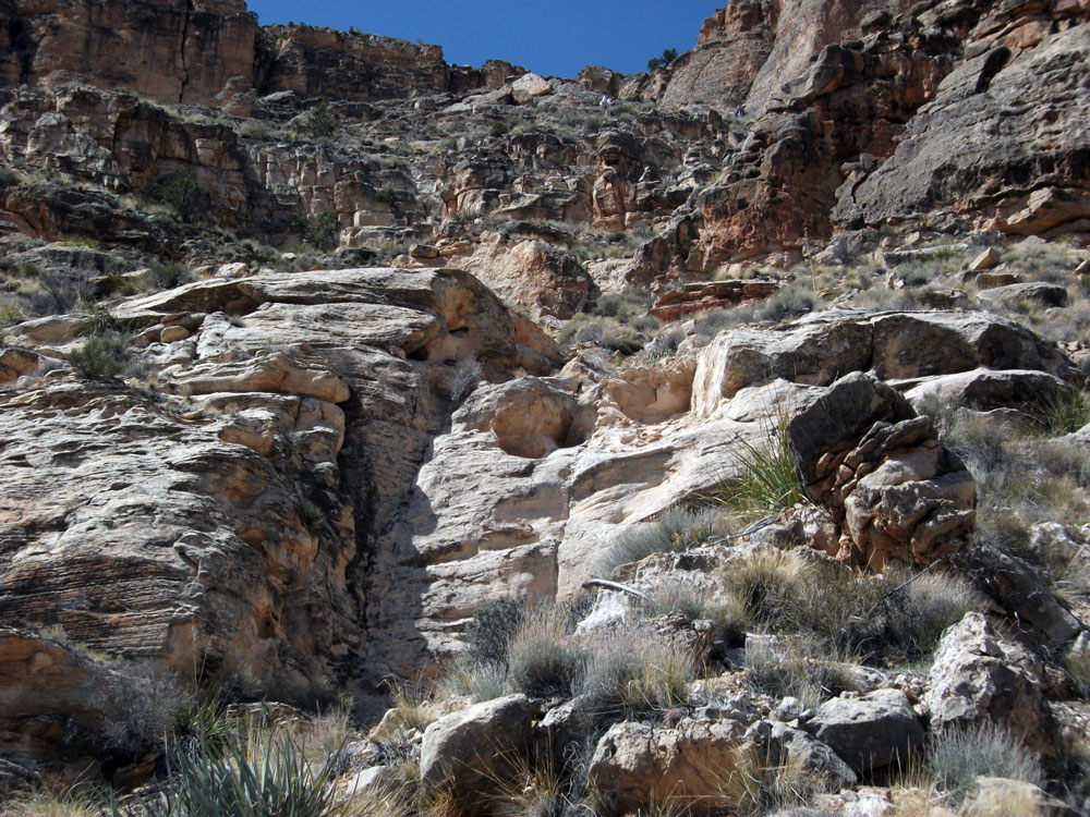 |
| Squeezing Thru Crack in Kaibab Limestone. | Hiking Down Talus Towards Esplanade. | Break in Coconino Sandstone. |
|
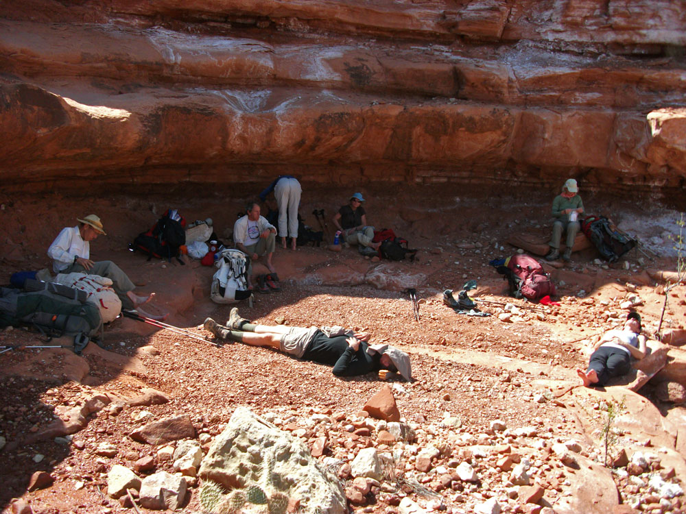
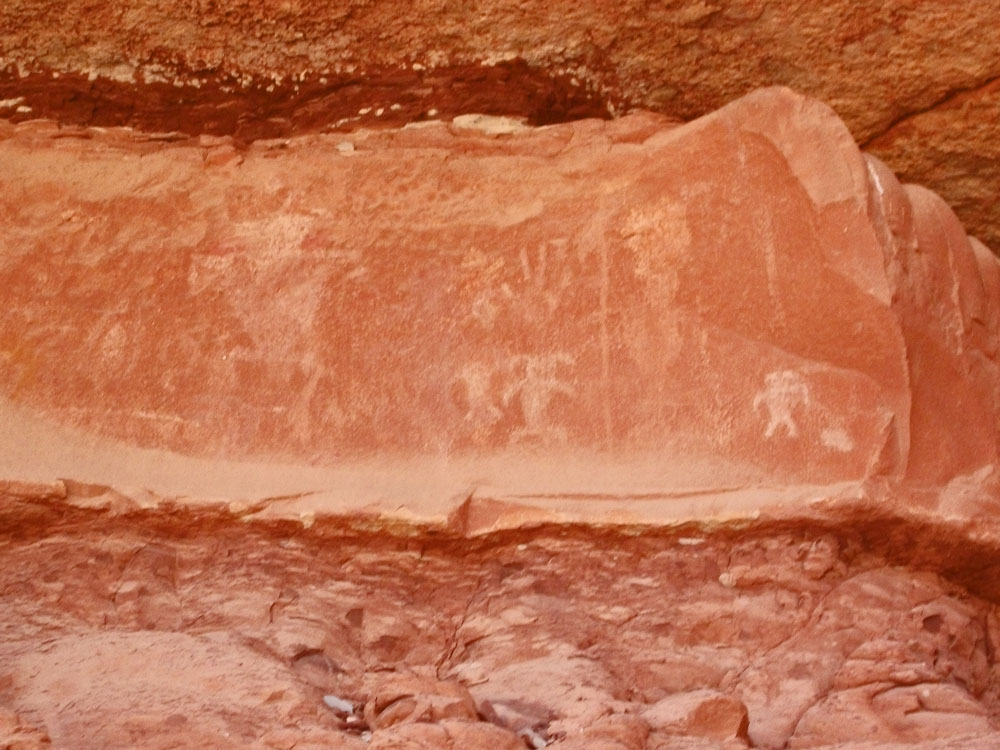
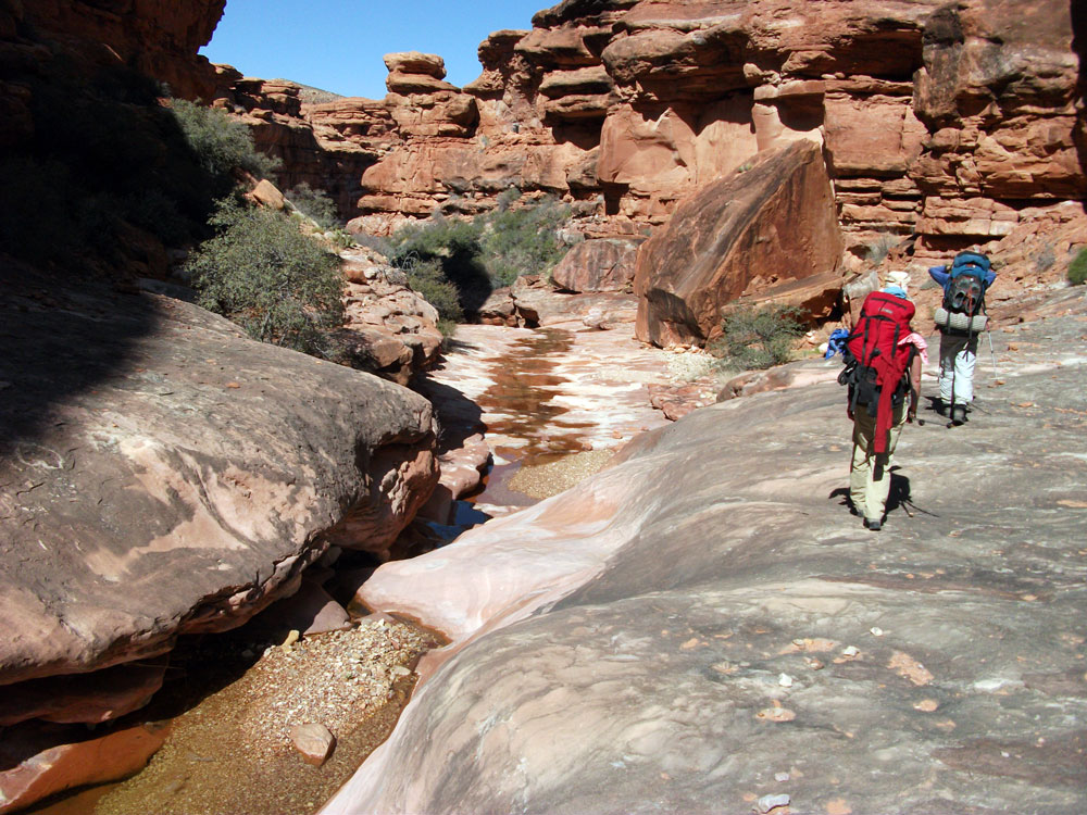
It was already by the time we got to the Esplanade. We stopped in the shade for lunch and found some rock art nearby, as well as some full potholes. After lunch we started down started down Flipoff Canyon through the Supai towards Kanab Creek. Water was flowing nearly the entire way. A little over half way down we came to a beautiful Cottonwood grove, and probably a fairly reliable spring area during normal years. The entire canyon was gorgeous. I have a special love for well-watered Supai canyons.
|
