|
Day 1 October 10, 2010 Nankoweap Trail to Nankoweap Creek |
 |
|
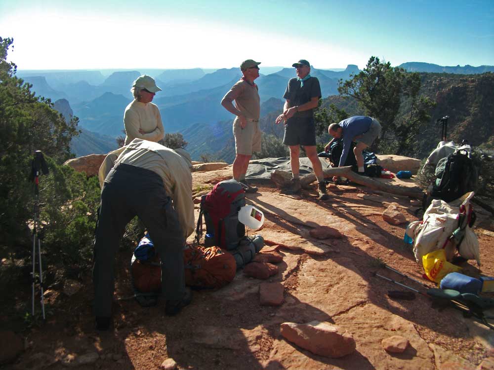
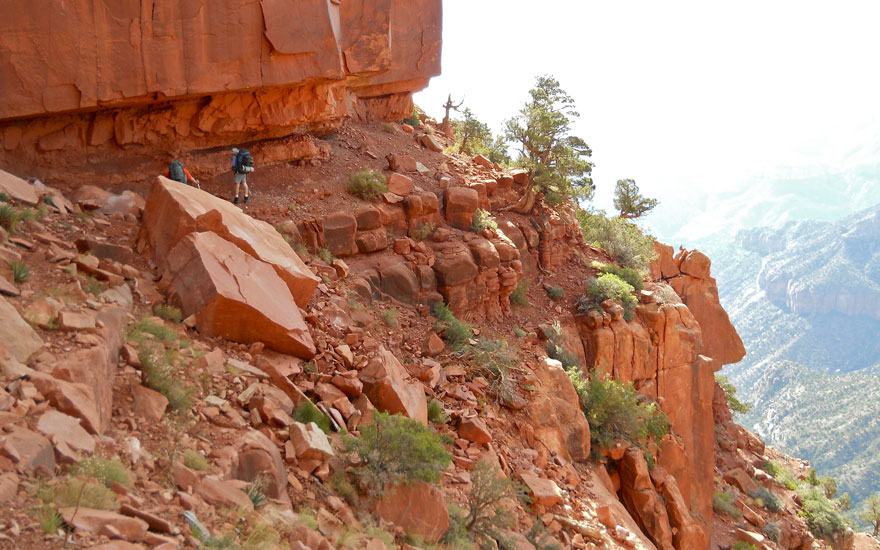
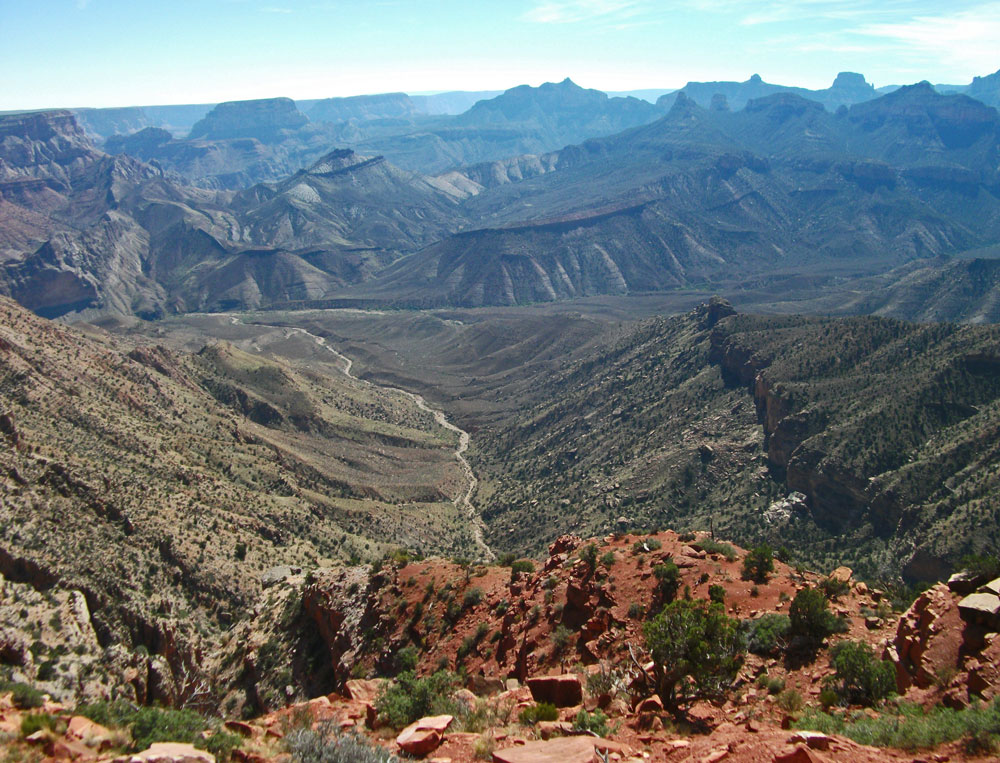
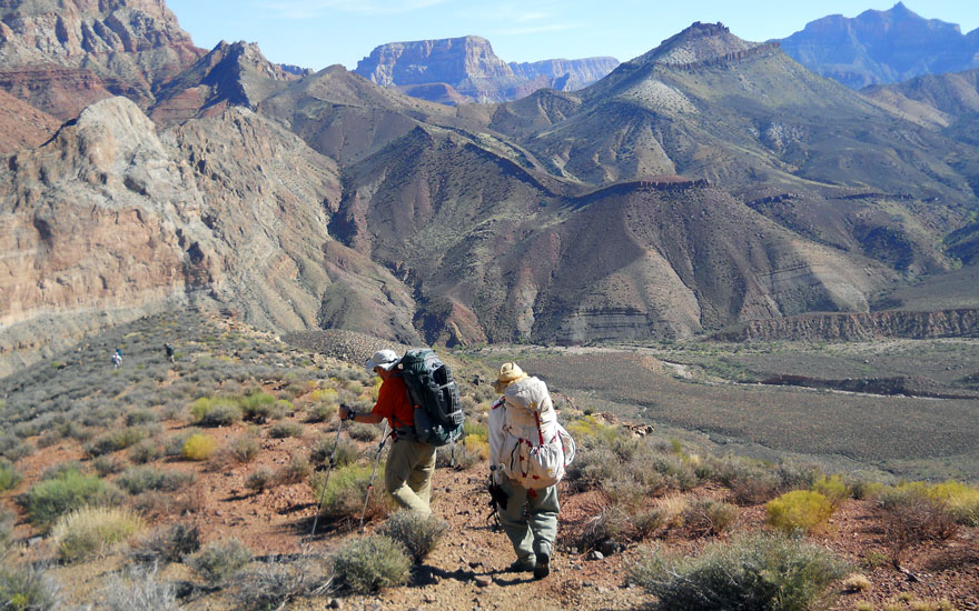
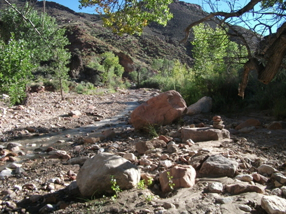
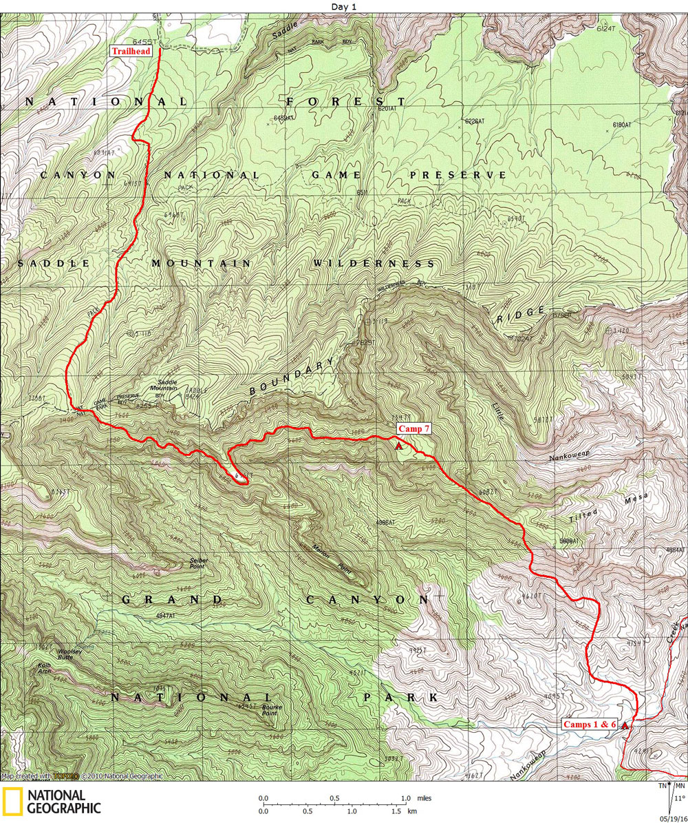
Click on photos to see larger image. Today's route stats: Distance: 9.1 miles Elevation Gain: 1000 feet Elevation Loss: 4000 feetMarcey and Bert got up very early to heat water for breakfast. They yelled “Hot Water” around 5:30. By 6:00 we were all eating breakfast and it was almost light enough to get around without flashlights. Marcey was laying out 7 piles of communal gear and food. We began hiking around 6:40. The air was cool and damp. We reached the saddle around 8:15. I picked up one quart of water. The Nankoweap Trail follows a bench in the Supai for several miles. The views down into the Nankoweap drainage were spectacular. In an hour or so I reached my personal cache Marion Point and my pack weight suddenly increased by about 8 pounds. We reached our campsite above Tilted Mesa at noon, where I off-loaded two quarts of water, one breakfast and a snack. So now I had one quart at the saddle and two at Tilted Mesa for the hike out, and about 1-1/2 quarts left to get me to Nankoweap Creek. |
