|
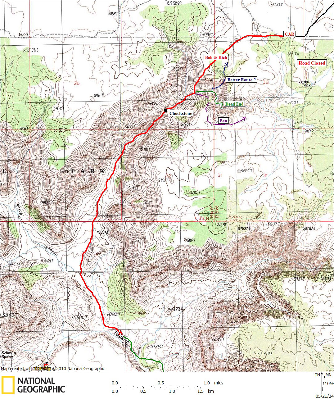
Day 11 April 17, 2023 Bed of Tuckup to Rim via the North Arm of Tuckup |
 |
|
Click on photos to see larger image. Today's Route Stats: Distance: 5.2 miles Elevation Gain: 2000 feet Elevation Loss: 100 feet
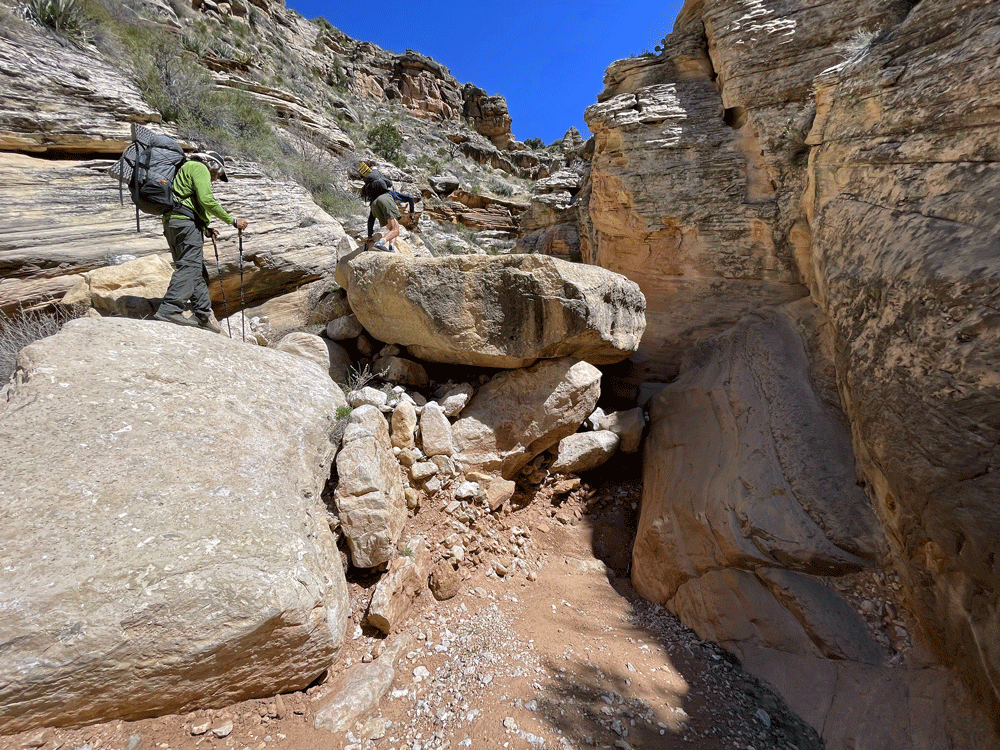
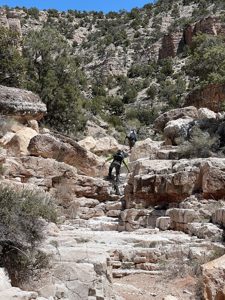
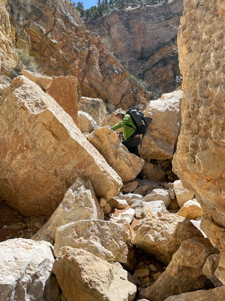
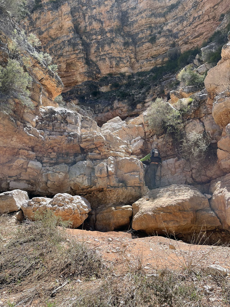
Today was expected to the our hardest, with a lot of elevation gain. We chose this route to minimize the shuttle distance. This exit is described in Steck's Grand Canyon Loop Hikes II, where he mentions a major chockstone near the top of the Coconino. We climbed around the chockstone without too much trouble. And as Steck says, "the rest of the way was slow -- lots of big boulders and brush." The drainage splits at the 5000-ft contour (Steck says 5800-ft contour, which is obviously not correct). We continued up the rocky drainage until we came to a dead-end box (shown in green). We were stunned by this unexpected obstacle, although Steck does describe having to climb out on steep talus slopes. Ben had done this route several years ago, but he was relying on his hiking partner to lead the way. They ended up climbing on very steep talus to the south. Ben had figured that they must have gone wrong somewhere, so he thought we would not have to do that steep talus this time. We turned around and began looking for exits. Ben started up towards the south (route shown in purple). He thought his route was a bit dangerous and suggested that we try going north. So Ben continued on while we started climbing to the north. Our northerly route was also very steep and loose. But Rich and I pressed on until the route finally began to level out. Once it leveled out it was just a matter following a compass heading toward the Park boundary and our car. We crossed over the boundary fence and walked the boundary going east. We ran into Ben a hundred yards or so before getting to the car. Ben was upset with himself for splitting up the group, but I didn't think it was a big deal (Steck's group did the same thing). After getting home, I looked at the map and Google Earth to see is there was a better route. I believe it would have been easier to take the side canyon route marked with a blue line.
|
 |
 |
 |
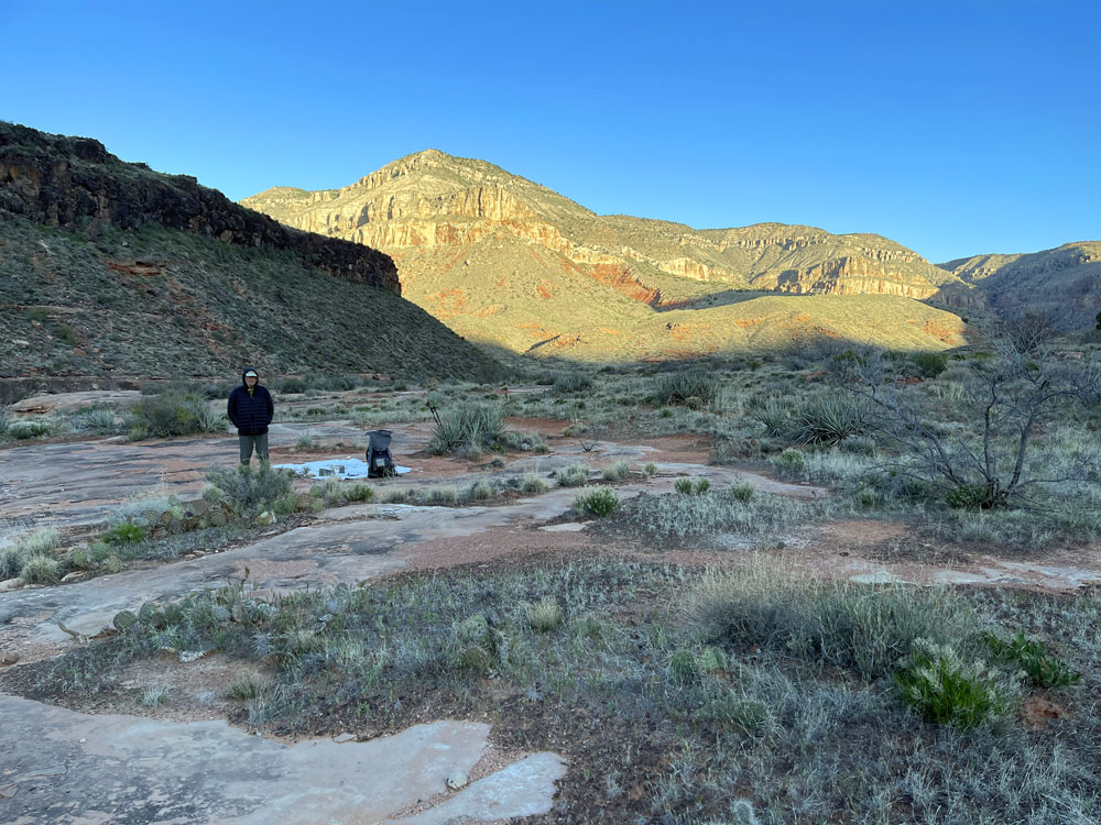
| Packing Up During Cold Morning. | Obstacles Begin to Appear. | Rich and Ben. |
 |
 |
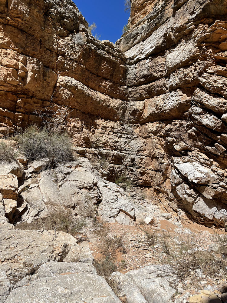 |
| Rich and Another Obstacle. | More Obstacles. | Dead End. |
|
It was late afternoon when we finally reached the car. We drove to the 150-mile trailhead to retrieve my e-bike. then headed back to Kanab. We were hoping to eat dinner at Escobar's, but it was closed. We then drove to the Rocking V Cafe, which was just closing, but the owner allowed us in anyway. I had an amazing Ribeye steak. After dinner we drove to Page where we had hotel reservations, and Rich and Ben had flights the next morning (Rich to Santa Barbara and Ben to Boston). |