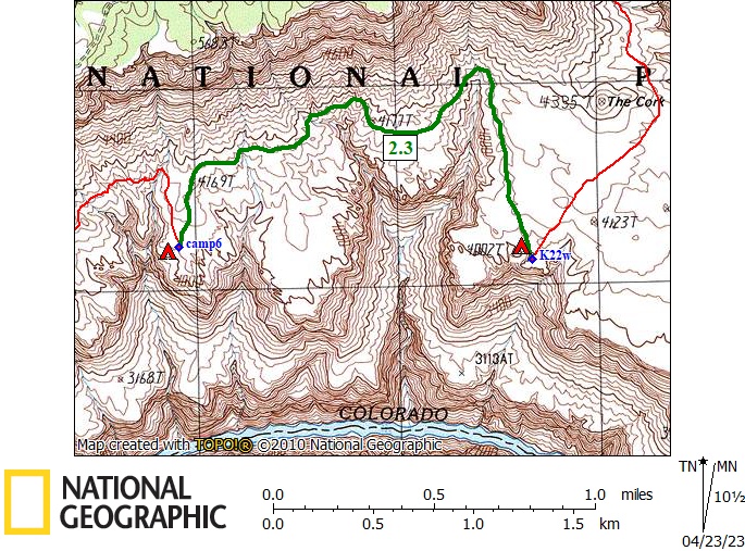
Day 6

April 12, 2023

Cork Pothole to Pothole Below SB Point


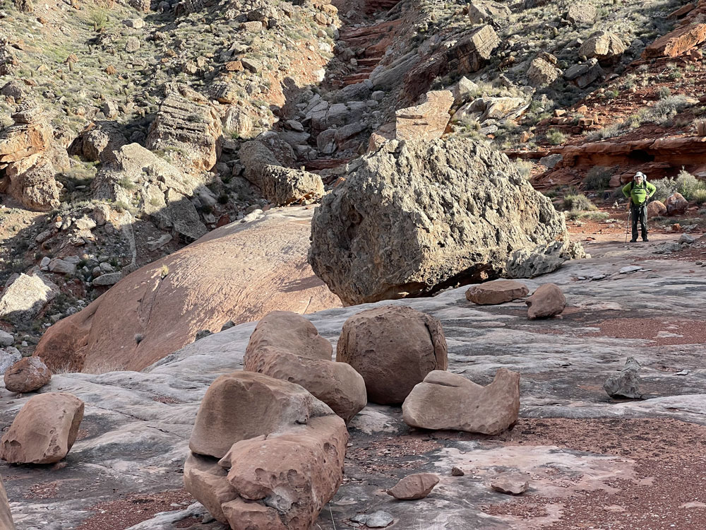
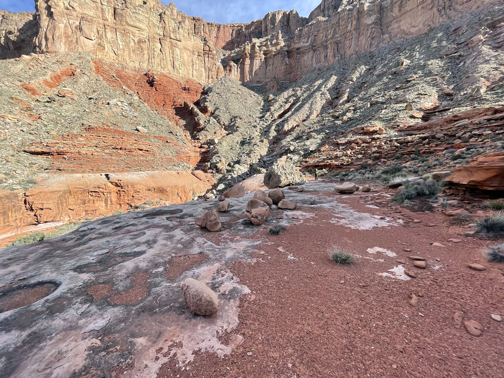
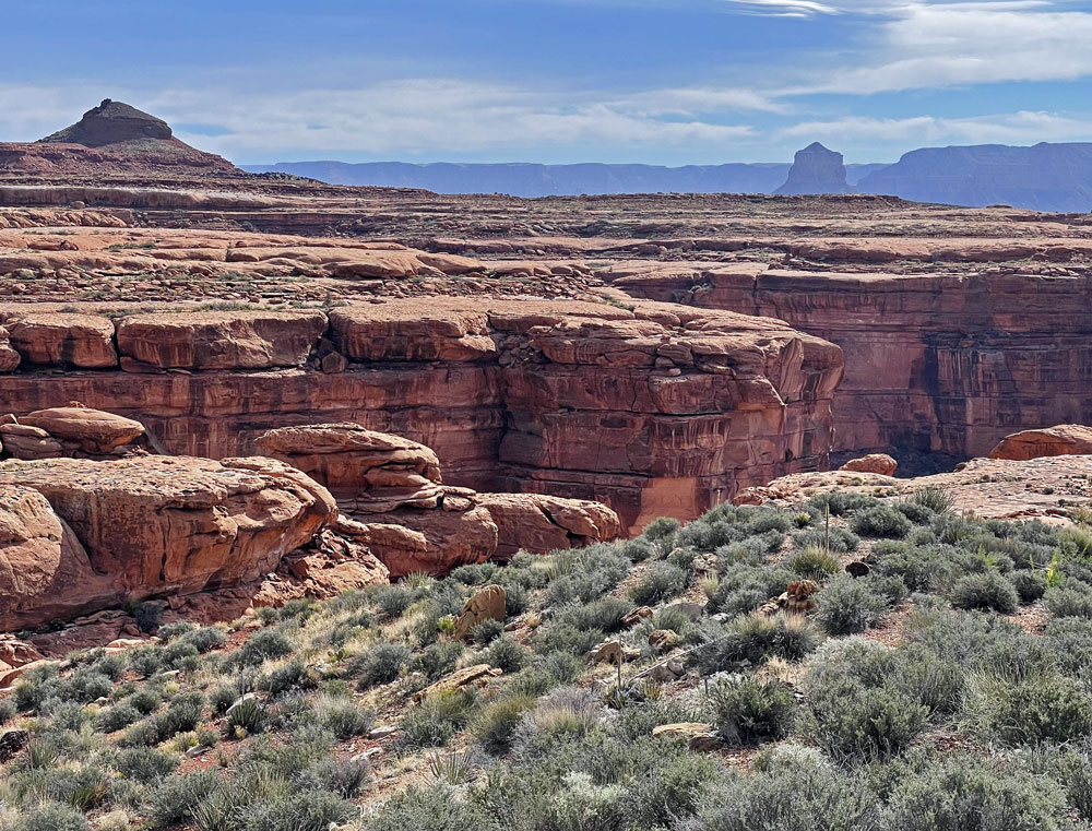
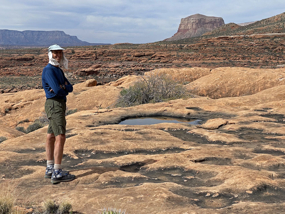
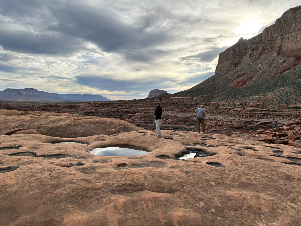
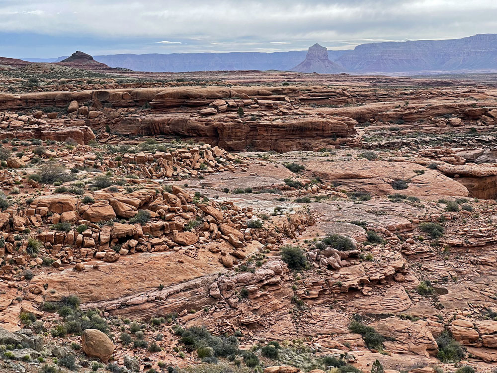
Click on photos to see larger image.

Today's Route Stats:

   Distance:  2.3 miles

   Elevation Gain:  200 feet

   Elevation Loss:  200 feet

Our original plan was to hike all the way to the potholes near the point overlooking the mouth of Tuckup Canyon.  That would have been a fairly long day for us -- over 5 miles.  But we had planned for two extra days to do this route.  So we were hoping to find water somewhere on the route before then.   After hiking a couple of hours, we began looking for water and a nice campsite. 

Rich. Wide Angle of Previous Photo of Rich. The Cork and Mount Sinyella.


We spotted a potential pothole location in the distance, near the edge of the Esplanade.  All the large potholes on the Esplanade are, for some reason unknown to me,  close to the edge.  We hiked out toward the edge, which was about 1/4 miles from the route.  To our surprise and delight, we found many large potholes with lots of water.


Ben with The Dome Showing in Distance. Potholes Near Our Camp. The Cork and Mount Sinyella.


Back to Main Trip Index Back to Trip Index Back to Day 5 Forward to Day 7