|
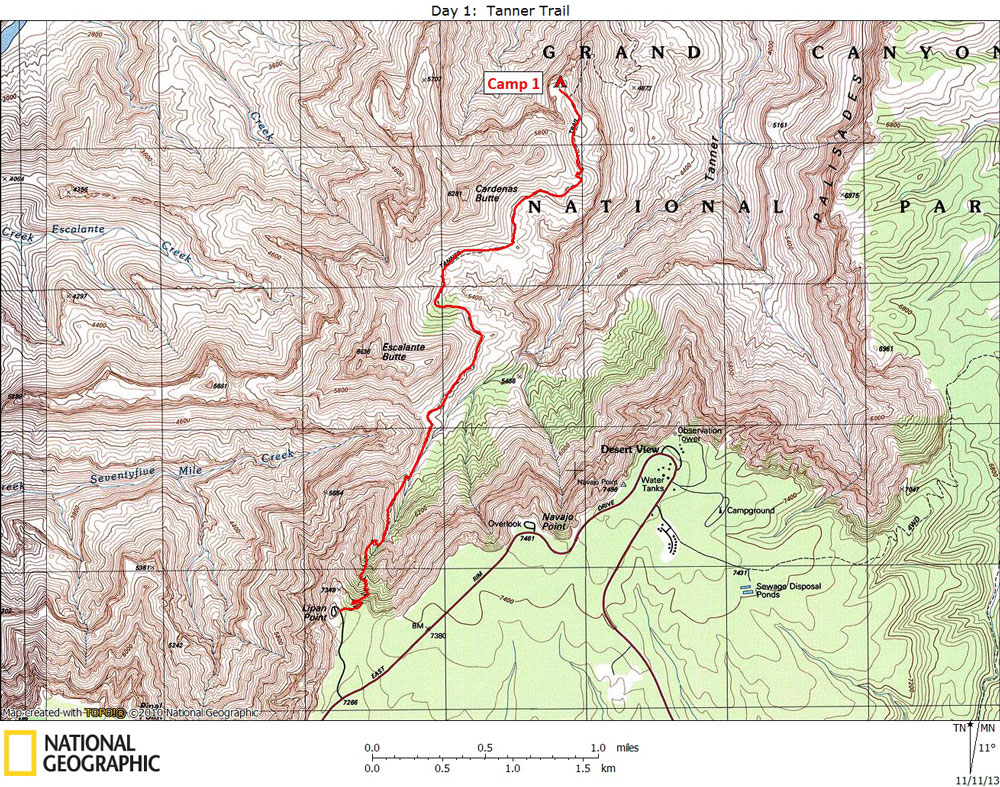
Day 1 October 12, 2013 Tanner Trail |
 |
|
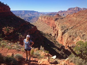
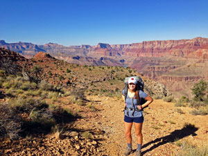
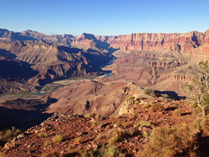
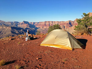
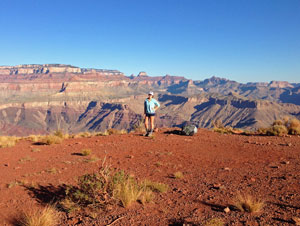
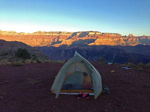
Click on photos to see larger image. Today's route stats: Distance: 3.5 miles Elevation Gain: 300 feet Elevation Loss: 2000 feetWe awoke about 8:00 and ate breakfast at the motel. I got a call from Donna stating that the Park was now open, so we decided to go with our original plan: Tanner Trail to New Hance Trail via the Escalante Route. We picked up sandwiches for lunch at the supermarket in Tusayan. Since I didn't bring my permit or maps with me, we drove to the Backcountry Office and they printed another permit for us. We then went to the general store and bought topo maps of our route, then we headed for Lipan Point and the start of the Tanner Trail. On the way we dropped off Brianna's car at the parking area about half a mile from the New Hance trailhead. Since we were only hiking about 3.5 miles today, we didn't want to start until after lunch. We needed to bring enough water for a dry camp; we wouldn't be getting to the next water (at the River) until the middle of the next day. Since the weather was fairly cool, we only brought 2 gallons between us. The Tanner Trail began as a route used by native Americans to access the river. In 1890 the route was improved by Seth Tanner to gain better access to mining claims. The Tanner Trail was also the southern section of the infamous Horsethief Route. The trail begins by heading down a gully immediately east of Lipan Point. According to the NPS information sheet, the Tanner Trail is "unmaintained and ranks as one of the most difficult and demanding south side trails." That sounds worse that in actually is. Most of the south side trails are not too difficult, at least compared to those on the north side. The only nasty section is in the Redwall descent. Here it is steep, loose, and rocky. For the first mile or so the trail is confined to the steep gully, which is the upper end of Tanner Creek. Near the bottom of this gully brings you to the 75-mile Creek - Tanner Creek Saddle, also known as Sagittarius Ridge. Soon the trail begins to level out and continues to follow the top of the Redwall for a couple of miles. |