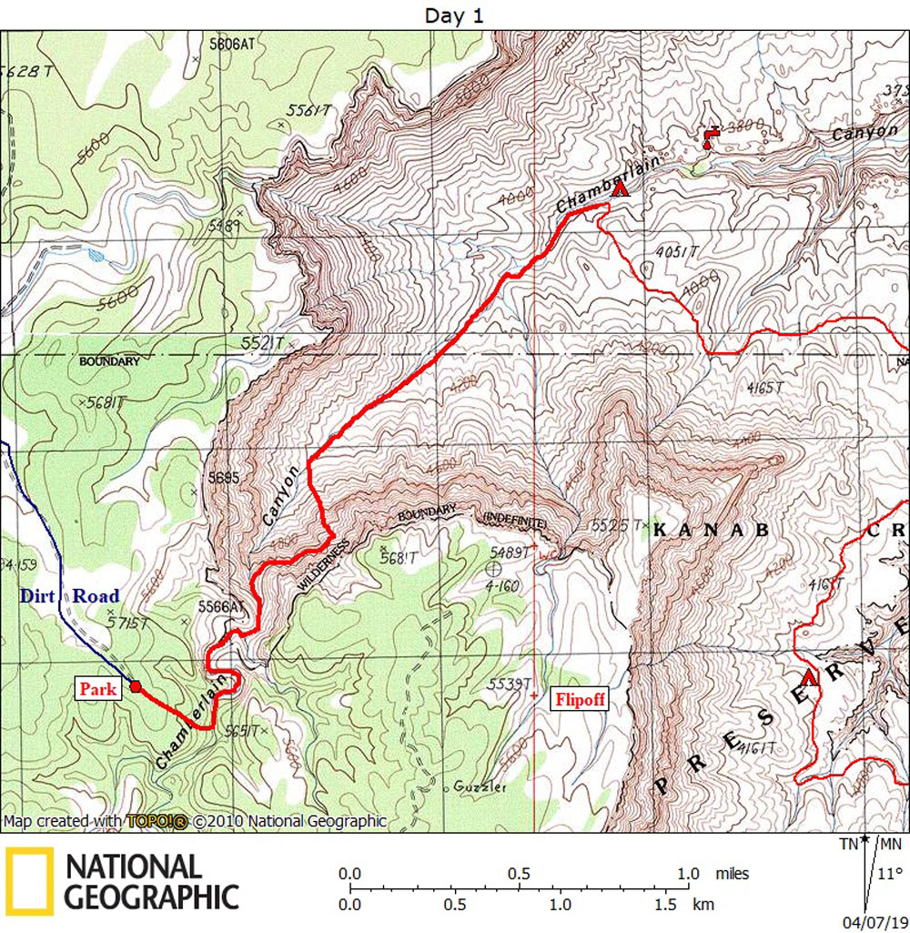
Day 1

March 17, 2019

Chamberlain Route to the Esplanade


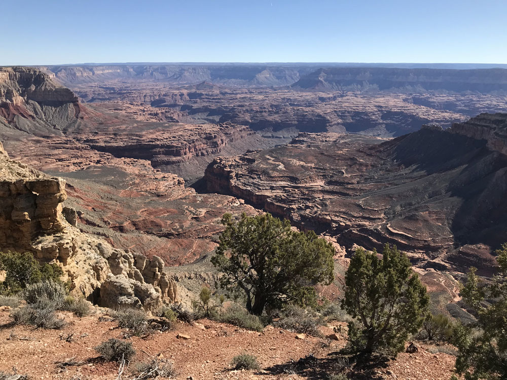
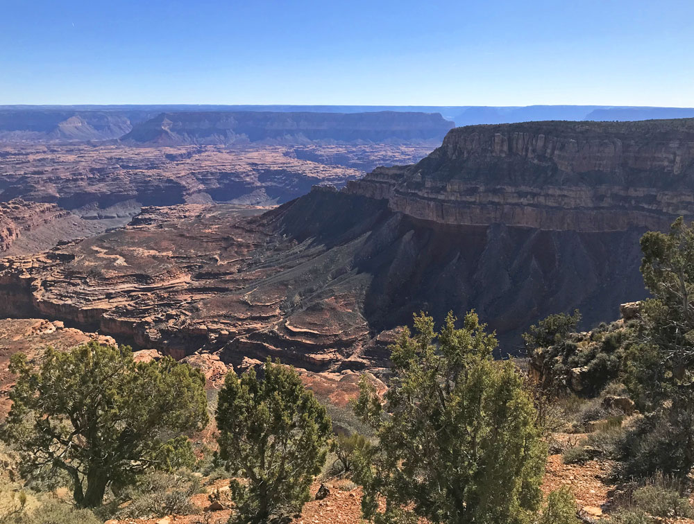
Click on photos to see larger image.

Today's Route Stats:

     Distance:  3.0 miles

     Elevation Gain:  0 ft

     Elevation Loss:  2000 ft


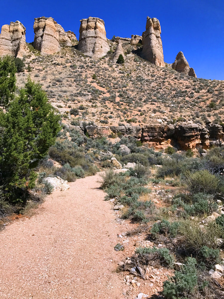
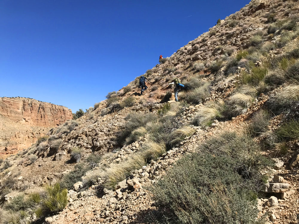
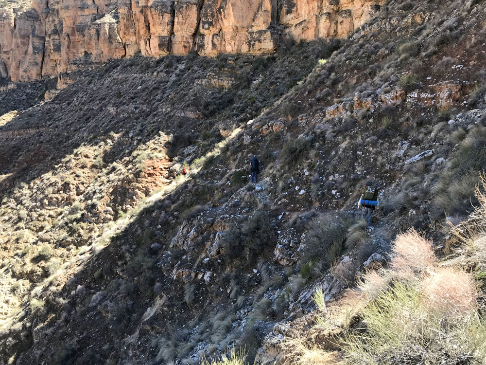
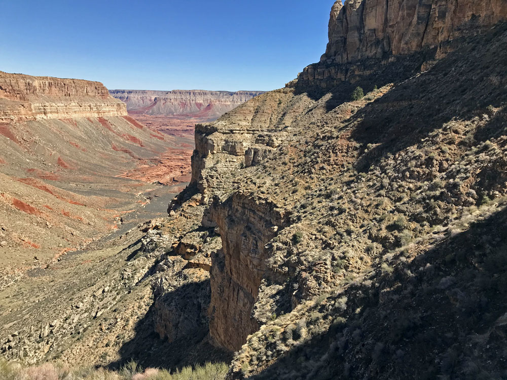
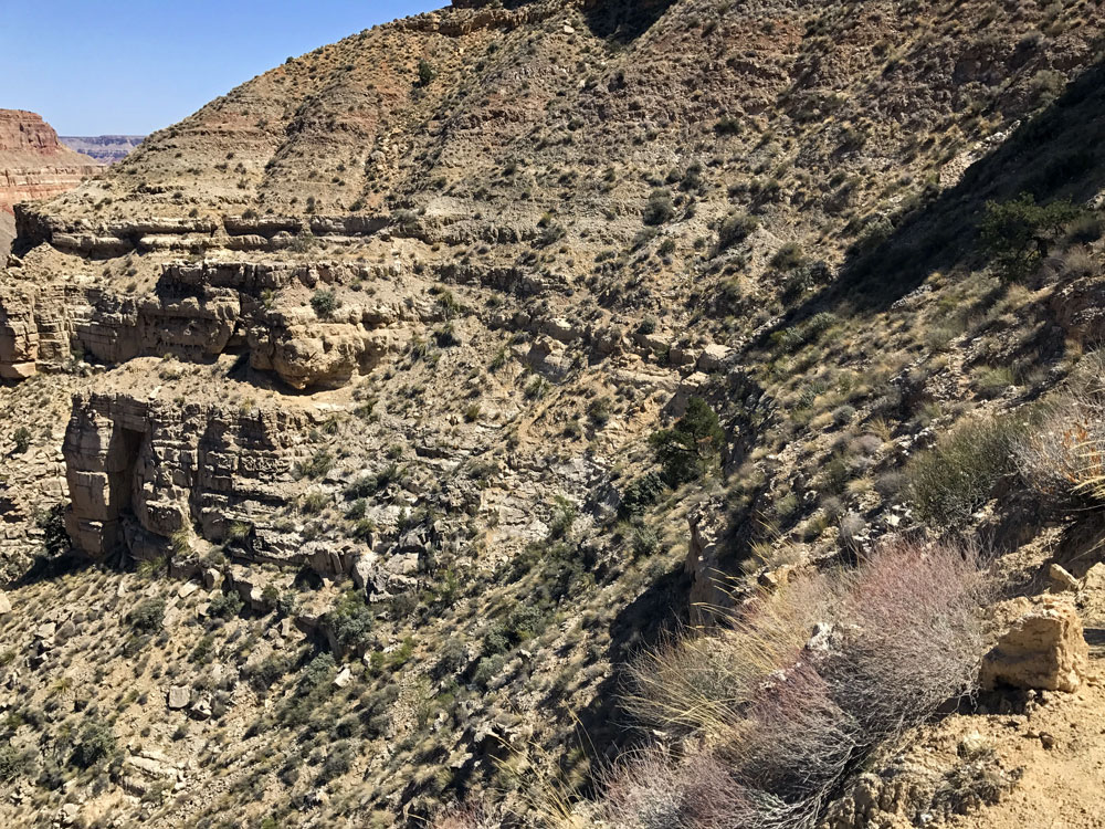
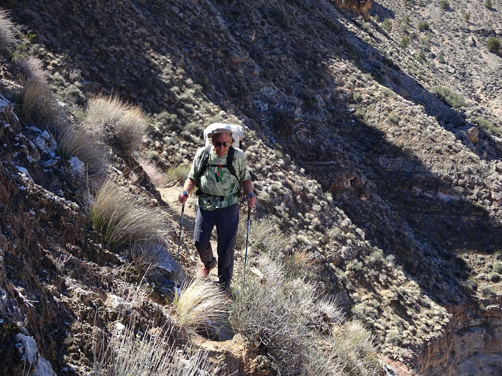
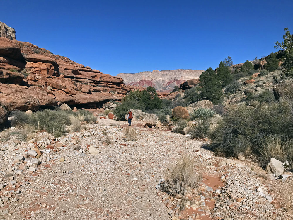
We got off to a very leisurely start.  After breakfast, Jorge and I drove our cars to the top of the Scotty's route.  We left Jorge's car there, then drove back to Chamberlain.  This took at least an hour.  We finally began hiking around 10:30. 

The route begins by dropping down into Chamberlain Canyon, then following it down to a large large pouroff.  From there the route contours above huge cliffs to the top of a steep talus slope that continues down to the bottom of Chamberlain Canyon.  Last year I stopped here while driving to California.  I hiked the first part of the route, but stopped near the top of the talus slope.  I took the route near the edge of the cliffs, but this time we took the route higher up, away from the scary cliffs.  Enough people and Bighorn have used this route that a rudimentary trail has developed.  But it is still sketchy, and caution ruled the morning. 

Looking NW from Rim Near Scotty's Route. Fishtail Mesa in Distance. Chamberlain Above the Pouroff.


Once we got close to the pouroff, we left the drainage and headed uphill to find the upper trail.  After rounding the corner, we could see most of the route ahead of us.  This upper route seemed much safer than the lower route I did last year.  After about a half hour of contouring, we reached the top of the talus.

 
Heading Up to Find the Upper Trail. Upper Route to Talus Slope. Route to the Talus Slope.


Approaching the Top of the Talus Slope. Bob Contouring Above the Cliffs. Finally in Chamberlain, Looking for Water.


The talus was very steep and loose, and I took my time, not wanting to tumble head over heals.  There were a couple of steep places in the Coconino sandstone where I sat down and slid on my butt for a few feet. 

Just as the talus was beginning to level out a little, Jorge, who was a few yards above me, slipped while crossing a very steep ravine.  I watched in horror as he tumbled and bounced about 20 feet.  I was sure he was seriously injured, perhaps fatally.  He landed on his pack, which surely absorbed much of his momentum.  I told him to stay where he was and not to move.  Eventually he determined that he could move all his limbs, which was a relief. 

After 10 or 15 minutes, he stood up and began to evaluate his injuries.  He had banged his head several times and blood was all over.  But none of the lacerations were deep.  His arms were covered with lacerations, and he had a lot of painful joints and muscles.  But there was nothing that looked very serious.  He was able to put his pack on and continue down the slope.  He would be in pain for a few days, but he continued to feel better throughout the rest of the trip.  He was very lucky.

We found a good spot to camp a little ways down into Chamberlain Canyon.  We found some nice pools of good water a hundred yards or so below our camp.  My back was hurting, but now I could rest. 


Back to Main Trip Index Back to Trip Index Back to Preface Forward to Day 2