|
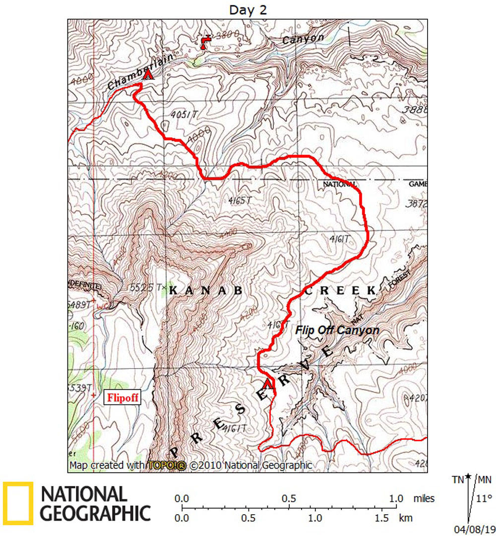
Day 2 March 18, 2019 Chamberlain to Flipoff |
 |
|
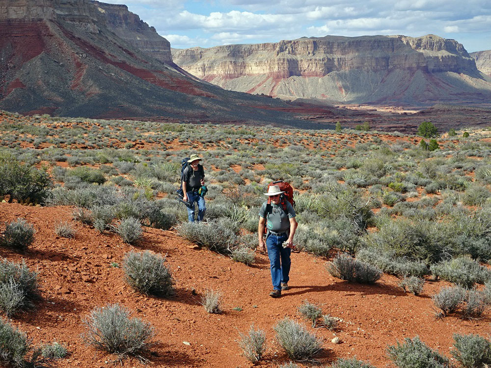
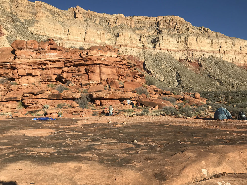
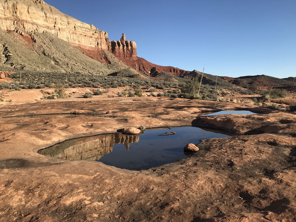
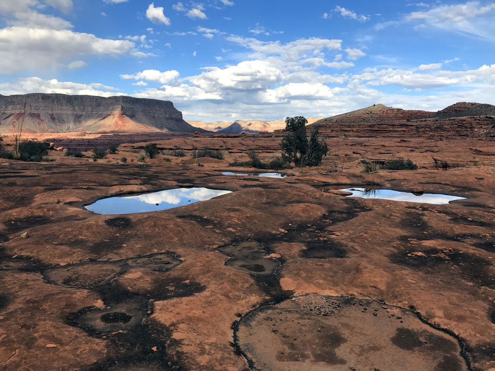
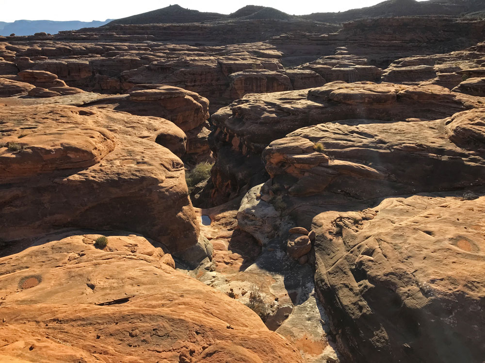
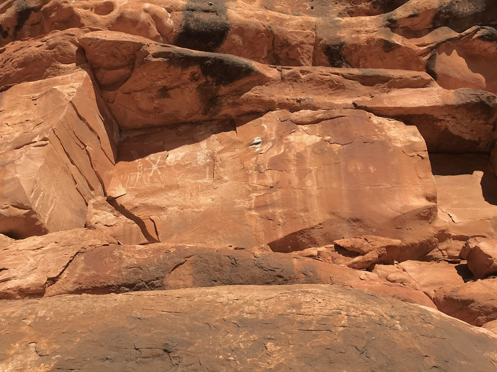
Click on photos to see larger image. Today's Route Stats: Distance: 3.0 miles Elevation Gain: 400 ft Elevation Loss: 200 ft Another leisurely morning and a late start. I had hiked this section twice before and I knew it was pretty easy walking. This time we headed higher up where we knew the old cowboy trail was located (we could follow most of it on Google Earth). This trail (perhaps considered part of the Tuckup Trail?) had occasional piles of horse shit, so it is obviously still used by horses. I had heard that some of the old families from Kanab and Fredonia still come out here on family trips. |