Day 2 April 4, 2013 Nankoweap Creek to Malgosa - Awatubi Saddle |
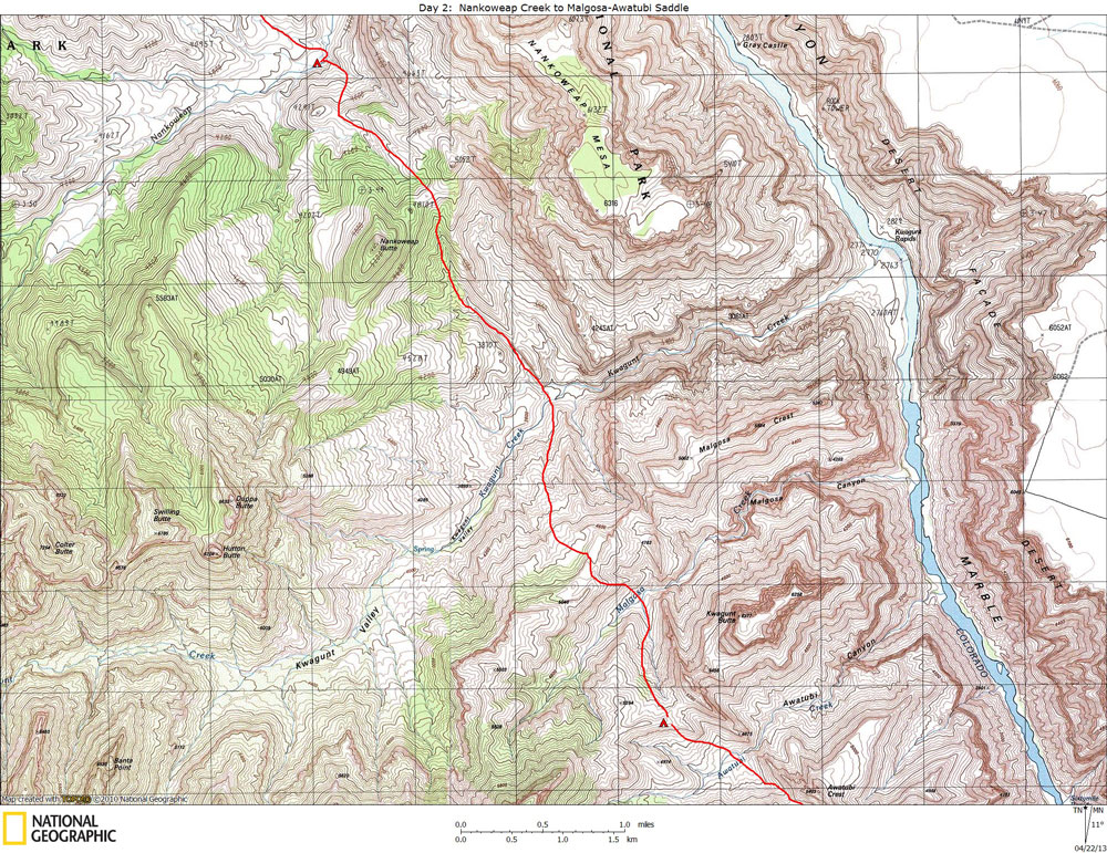
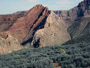
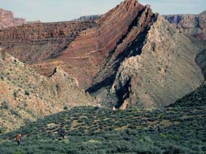
Click on photos to see larger image. Today's route stats: Distance: Difficult to determine off-trail miles, but probably about 6. Elevation Gain: 3500 feet Elevation Loss: 1900 feetToday began the Butte fault section of the hike. The fault in this area runs parallel with the Colorado River, and roughly 1-1/2 to 2 miles from the river. The land on the west side of the fault rose relative to the east side of the fault. This uplifting and bending along the fault resulted in a long stretch of hogbacks. The route parallels the west side of these hogbacks. The river is inaccessible between Malgosa and Carbon. We were expecting a difficult day. Not only is 3500 feet a lot of elevation gain, but we needed to pick up enough water at Kwagunt Creek for a dry camp, and for all day the next day too. There is no reliable water between Kwagunt and Lava Creeks. And there is no reasonable access to the river anywhere between Malgosa and Carbon Creeks. However, on a trip in October, 2010, we spent an unplanned night at a small seep spring in Malgosa, not too far down from the Butte fault. But because it is a very small seep, it's reliability unknown, and because it had been pretty dry for weeks prior to our hike, we decided to pick up water at Kwagunt and not even look for water in Malgosa. There are a variety of ways to get over the ridge between Nankoweap and Kwagunt, and I have done a few of them. Our goal was the saddle between Nankoweap Mesa and Nankoweap Butte that is closest to Nankoweap Butte (less than 1/2 mile NE of the butte). Many people believe the horse thieves traveled west of Nankoweap Butte where the going would be much easier for horses. Apparently horse shoes have been found along that section.
|
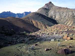
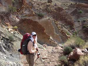
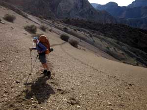
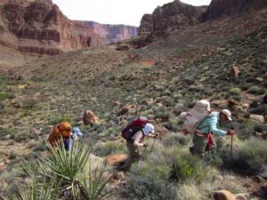
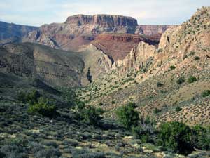
Saddle Mountain and Nankoweap Creek | Nearing Saddle and Nankoweap Butte. | Marcey Heading Down into Kwagunt. |
Bert called out "hot water" at 5:00 am, and we broke camp 6:30. We arrived at Kwagunt Creek at 9:45, after climbing 1200 feet and dropping 1300 feet. The gnats were numerous and aggressive. I probably swallowed a few dozen during the day. I believe these gnats are sometimes referred to as Cedar Gnats (Junipers were once often referred to as Cedars), although I think there are several distinct species. All of them are tiny (no-see-ums) and very annoying as they swarm around your head and stick to your sweat. We took a long snack break and loaded up with water. I packed up 9 quarts (18 pounds). After 45 minutes we started out again, heading for the saddle between Kwagunt and Malgosa Creeks. I could hardly pick up my pack. The route to the saddle required a climb of 1200 feet, although the route wasn't extremely steep. Close to the top my legs began to give out. I barely had enough strength to make it to the top. I arrived at the saddle at 1:30 pm, 10 or 15 minutes behind the others. I was worried and suggested to the others that we camp in Malgosa. The others, Jim in particular, wanted to continue beyond Malgosa. A few of the stronger hikers came to my rescue and off-loaded about 5 quarts of my water, decreasing my pack weight by 10 pounds. I guess I should have trained by hiking uphill with my pack, as both Marcey and Ben did. Anyway, I swallowed my pride and continued on, grateful for the help. |
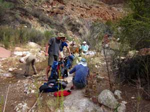
Ben Heading Down into Kwagunt. | Loading Up with Water at Kwagunt. | Climbing Out of Kwagunt Towards Malgosa. |
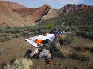
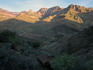
The 600 foot drop into Malgosa was relatively easy. We reached the bottom in about an hour. And in another 1-1/2 hours we had climbed the 750 feet to the Malgosa-Awatubi saddle. The saddle area was fairly large, and the 360 degree views were spectacular, with a stunning view of Awatubi Crest. It was 4:00. We decided to stop there for the night. We had been hiking for 9-1/2 hours. |
The spectacular views and the alien landscape combined with the profound sense of isolation made this campsite one of the most awesome places I have camped in Grand Canyon. The gnats, however, continued to bug us until dark. |